Scenic drives and byways in the West
Scenic drives and byways across the West, each compiled from its own sources: length, season, road surface, and the towns on it.
Point at a dot to see the place.Tap a dot to see the place.
Arizona
- Apache Trail Historic RoadTortilla Flat · Historic roadState Route 88, the Apache Trail, a wagon road built to haul freight to Roosevelt Dam, still runs five unpaved miles beyond Fish Creek Vista in Arizona's Tonto country.
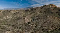
- Black Hills Back Country BywayBetween Safford and Clifton · Type II bywayA 21-mile convict-built dirt road through the volcanic Black Hills between Safford and Clifton, Arizona, crossing the Gila River on a 1918 double-arch concrete bridge.

- Coronado Trail National Scenic BywayClifton · National scenic bywayThe Coronado Trail carries U.S. 191 from the copper pit at Clifton and Morenci up over the Mogollon Rim to Springerville, through what ADOT counts as 460 curves.
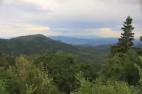
- Desert to Tall Pines Scenic RoadYoung · Scenic bywayA partly unpaved back road from the Mogollon Rim to Roosevelt Lake in Gila County, Arizona, crossing the Salt River on a one-lane Parker truss bridge built in 1920.
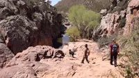
- Parker Dam Road Back Country BywayParker · Back country bywayThe Parker Dam Road "Thread of Life" highlights the scenic, natural, historic, and prehistoric values along an 11 mile road that travels along the California shore of the Colorado River.
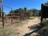
- Swift Trail ParkwaySafford · Scenic driveClimbs more than 7,000 feet over 35 miles with views of the surrounding landscape.
California
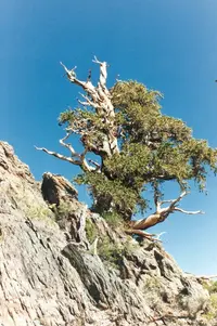
- Ancient Bristlecone Scenic Byway (Route 168)Big Pine · Scenic byways or routesA 34-mile Forest Service byway climbs from the Owens Valley at Big Pine into California's White Mountains, ending among bristlecone pines that have been alive for more than 4,000 years.
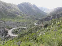
- Angeles Crest Scenic Byway (SR 2)La Cañada-Flintridge · Scenic bywayThe scenic byway ascends up and winds its way through 66 miles of the Angeles National Forest, through chaparral, and montane forest habitats, along the highest and most scenic ridges of the San Gabriel mountain range.
- Arroyo Seco Historic Parkway (Route 110)Los Angeles · California historic parkwayThe Arroyo Seco Parkway, Route 110 between downtown Los Angeles and Pasadena, opened in 1940 as what California calls the nation's first freeway.
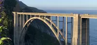
- Big Sur Coast Highway (Route 1)Monterey · All-american roadRoute 1 along the Big Sur coast, California's first official scenic highway, opened in 1937 after San Quentin convict crews helped cut it from the Santa Lucia cliffs.
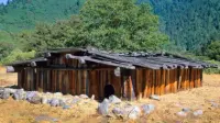
- Bigfoot Scenic BywayWillow Creek · Scenic bywayThe Bigfoot Scenic Byway, Highway 96 from Willow Creek up the Klamath River to Happy Camp in northwestern California, passes close to where the 1967 Patterson-Gimlin Bigfoot film was shot.
- Bradshaw Trail Back Country BywayBlythe · Back country bywayA 70-mile graded dirt road across the Colorado Desert of Riverside County, California, following the stage road William Bradshaw opened to the La Paz gold fields in 1862.
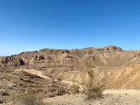
- Buckhorn Back Country BywayGerlach · BLM bywayA 31-mile single-lane gravel road kept by the BLM from Duck Flat, Nevada, to Ravendale, California, crossing wild-horse range and passing ponderosa pines rooted in sand.
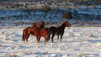
- Carson Pass Highway (Route 88)Woodfords · All-season roadwayCalifornia's Highway 88 crosses the Sierra Nevada at Carson Pass, 8,573 feet, on a line Washoe and Miwok traders walked long before Mormon wagons opened it in 1848.
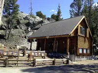
- Chimney Peak Back Country BywayLake Isabella · BLM bywayA graded dirt road north from Highway 178 in Kern County, California, running along the Chimney Peak Wilderness where Sierra Nevada pinyon country gives way to the Mojave.
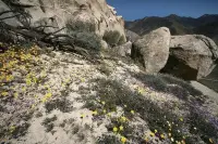
- Death Valley Scenic BywayFurnace Creek · National parkThe Death Valley Scenic Byway follows 81.5 miles of California Highway 190 through Death Valley National Park, partly on a 1926 toll road built to reach a desert hotel.
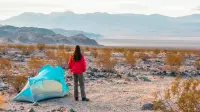
- Ebbetts Pass Scenic BywayArnold · National scenic bywayThe Ebbetts Pass Scenic Byway runs 61 miles over the Sierra Nevada from Arnold to Markleeville, narrowing near its 8,700-foot crest to a road with no center line.
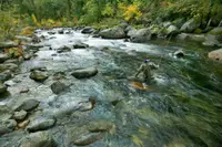
- Feather River Scenic Byway (Highway 70)Quincy · Scenic bywayThe Feather River Scenic Byway runs 130 miles on Highway 70 from above Oroville over Beckwourth Pass, sharing its North Fork canyon with a 1909 railroad and seven powerhouses.
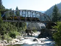
- Historic Route 66 (California segment)Victorville · National scenic bywayRoute 66 across the Mojave from Needles to Barstow, California, a National Scenic Byway since 2021, where the old highway crosses washes on timber trestles more than eight decades old.
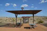
- Jacinto Reyes Scenic Byway (Route 33)Ojai · Forest service bywayThirty-eight miles of State Highway 33 north from Ojai through Los Padres National Forest, on a route the Reyes cattle family mapped to reach the sea.
- Kings Canyon Scenic Byway (Highway 180)Dunlap · Scenic byways or routesBeginning in the Sierra Nevada foothills near Dunlap, the Kings Canyon Scenic Byway traverses 50 spectacular miles leading to Roads End, all along Highway 180. The byway begins in the foothills outside of Fresno and then enters the Grant Grove area of Kings Canyon National Park. It then descends through Sequoia National Forest, then ends at the Cedar Grove area of Kings Canyon National Park.
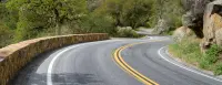
- Lassen Scenic BywayOld Station · National forest scenic bywayWinding through both Lassen National Forest and Lassen Volcanic National Park, the Lassen Scenic Byway is one of the most scenic drives in California. The 185-mile loop can be traveled in only a day, but it s best to take the time to appreciate its beauty and diversity by making frequent stops to hike, take photos, fish, camp, and just enjoy the fascinating nature that surrounds you.
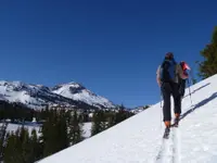
- Lee Vining Canyon Scenic BywayLee Vining · National forest scenic bywayThe Lee Vining Canyon Scenic Byway is located in east-central California and travels along California State Route 120 through theInyo National Forest to the Tioga Pass entrance of Yosemite National Park.
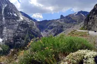
- Modoc Volcanic Scenic BywayMcCloud · Scenic bywayTraversing an area unrivaled in North America for its volcanic features, the Modoc Volcanic Scenic Byway provides a rich mixture of geology, wildlife viewing and native American history.
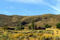
- Palms to Pines Scenic BywayPalm Desert · Scenic driveThis 67-mile route will take you from Palm Desert past snow-peaked mountains to Banning Pass.
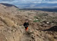
- Rim of the World Scenic BywayLake Arrowhead · Scenic drivesThe Rim of the World Scenic Byway travels through some of the most naturally beautiful areas in Southern California. Spectacular vistas and panoramas exist everywhere along the route.
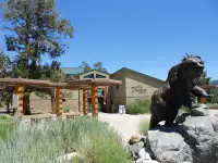
- Saline Valley Road Back Country BywayLone Pine · 4-wheel drive trailThis popular 4-wheel drive trail takes you through some of Death Valley's most intriguing terrain. At the bottom of the Saline Valley you'll find a salt marsh, hosting a variety of wildlife and plants standing out in the otherwise sparse terrain.
- San Luis Obispo North Coast Byway (Route 1)San Luis Obispo · All-american roadOcean-view adventures along the byway: whales migrating in the distance, rugged coastal trails, a hilltop mansion, a historic pier, quaint beach towns, and wine tasting in the vineyards of Edna Valley.
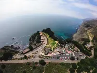
- Sierra Heritage Scenic Byway (Route 168)Clovis · Scenic byways or routesThe Sierra Heritage Scenic Byway (California Route 168) features a range of recreation opportunities, historic tours, and scenic views of mountains and valleys.
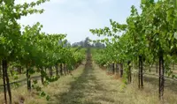
- Sierra Vista Scenic BywayNorth Fork · National scenic bywayLocated in the Sierra National Forest, the Sierra Vista Scenic Byway is a designated member of the National Scenic Byway System. The entire route meanders along National Forest roads, from North Fork to the exit point on Highway 41 past Nelder Grove, and without stopping takes about five hours to drive.
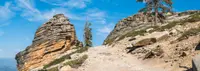
- Smith River Scenic Byway (Highway 199)Gasquet · U.s. forest service scenic bywayHighlighted by white-water rapids on the Smith River, redwoods, rhododendrons, ferns and diverse geological land forms and ecosystems
- State of Jefferson Scenic Byway (Highway 96/263)Happy Camp · Scenic bywaysState of Jefferson Scenic Byway is managed by Department of Transportation. From the 1941 state capitol of Yreka, California, take Hwy. 263 North over five Pioneer bridges to Hwy. 96. Meander along the Klamath River West to the remote, friendly town of Happy Camp.
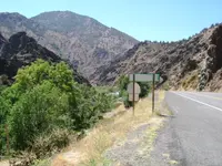
- Surprise Valley / Barrel Springs Back Country BywayCedarville · BLM back country bywayThis 93-mile loop begins and ends in Cedarville, California, and like other BLM back country byways it transports visitors through both space and time.
- Tioga Road/Big Oak Flat Road Scenic BywayYosemite Village · National parkTioga Road (continuation of Highway 120 through the park)
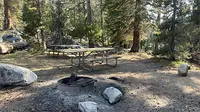
- Trinity Heritage National Scenic BywayWeaverville · Scenic drivesTrinity Heritage Scenic Byway follows Highway 3 south from Montague in Siskiyou County through the Scott River Valley and enters Trinity County over the Scott Mountain Summit, north of Weaverville. The Oregon-California Trade Route. Also known as the Siskiyou-Trinity Scenic Byway. Features travel through the Trinity Alps to Trinity Lake, with a loop through Lewiston before continuing on to Weaverville, then south through Hayfork to the end of the highway at its junction with Highway 36.
- Wild Horse Canyon Scenic Backcountry BywayEssex · Wild horse canyon roadsJust north of the junction of Black Canyon and the south end of Wild Horse Canyon Roads, rhyolite cliffs riddled with holes and hollows are the backdrop for Hole-in-the-Wall.
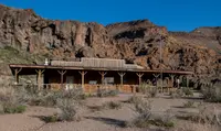
- Yuba-Donner Scenic BywayTruckee · Scenic bywayThis Scenic Byway makes a 160-mile driving loop route through the Sierra foothills and mountains west and east of the Sierra Crest, highlighting small communities located north of I-80, including Nevada City, Downieville, Sierra City, Sierraville and Truckee.
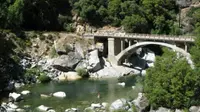
Colorado
- Alpine Loop Back Country BywayLake City · Colorado scenic bywayA 63-mile network of old mining roads over Cinnamon and Engineer passes, linking Lake City, Silverton, and Ouray, that climbs to 12,800 feet and needs high-clearance four-wheel drive.
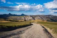
- Flat Tops Trail Scenic BywayMeeker and Yampa · Colorado scenic and historic bywayAn 82-mile county road between Yampa and Meeker, Colorado, about half gravel, that passes near Trappers Lake, where a 1919 survey for summer cottages ended in a plea for wilderness.
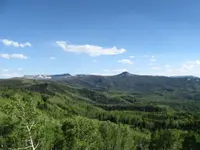
- Pawnee Pioneer Trails Scenic BywayAult · Colorado scenic bywayNortheast Colorado's Pawnee Pioneer Trails scenic and historic byway leads you through a fascinating prairie expanse. With the expansion of America into the West, explorers and settlers could hardly believe their eyes when looking upon the Great Plains.
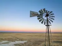
- San Juan SkywayDurango · All-american road scenic bywayThe route links Durango, Telluride, Silverton, and Ouray through the San Juan Mountains, including the Million Dollar Highway between Ouray and Silverton.

- Silver Thread Scenic BywayLake City · Colorado scenic and historic bywaySee spectacular displays of Colorado splendor, abundant wildlife, and varied and unique geology. Stop in any one of the three bustling small mountain towns for shopping, dining, arts and history!
Idaho
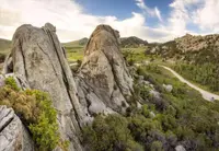
- City of Rocks Backcountry BywayAlmo · 49-mile routeA 49-mile route around Idaho's Albion Mountains, from Albion to Oakley through City of Rocks, where California-bound emigrants wrote their names on granite in axle grease.
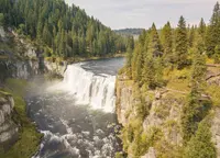
- Mesa Falls Scenic BywayAshton · Scenic bywayScenic byway through Targhee National Forest featuring lower and upper Mesa Falls, with viewing areas, nature trail, and historic Big Falls Inn visitor center.
- Northwest Passage Scenic BywayLewiston · All american roadA route through the rivers, deep canyons, and rugged mountains of north-central Idaho and the land of the Nez Perce.
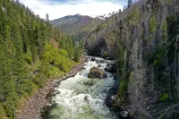
- Owyhee Uplands Backcountry BywayGrand View · Backcountry bywayThe 103-mile Owyhee Uplands Back Country Byway offers high desert scenery at its finest, from expanses of sagebrush and grasslands to sheer, red-walled river canyons - a vast, little-known, unchanged corner of the American West
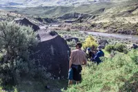
- Sawtooth Scenic BywayStanley · Scenic bywayClimb 115 miles up Highway 75 through central Idaho's high desert to the Sawtooth Mountains at Stanley, passing Sun Valley, Galena Summit and Redfish Lake.
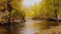
- Thousand Springs Scenic BywayBliss · State bywayThe route gives road trippers a glimpse of some of Idaho's remarkable geological wonders: canyon views, quaint small towns and Thousand Springs State Park's six units with waterfalls, hiking trails and wildlife.
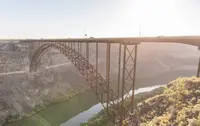
Montana
- Beartooth HighwayRed Lodge · RoadThe 68-mile Beartooth Highway climbs from Red Lodge, Montana, over a 10,947-foot pass to Yellowstone's northeast entrance, cut in the 1930s by men earning 50 to 75 cents an hour.
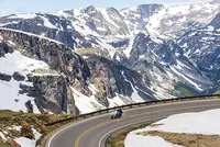
- Big Sheep Creek Back Country BywayDell · Scenic highwayA 50-mile BLM gravel byway west of Dell, Montana, through Big Sheep Canyon and the Tendoy Mountains, where spring-fed trout pools show from the car window.
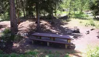
- Big Sky Back Country BywayTerry · BLM bywayA paved Bureau of Land Management route of 105 miles from Terry to Wolf Point, Montana, joining the Yellowstone and Missouri rivers along the old Regina-Yellowstone Trail.
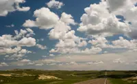
- Garnet Back Country BywayBack country bywayA steep mountain road through Montana's Garnet Range to Garnet, an 1890s gold camp whose false-front stores and log cabins the BLM has stabilized since 1972.
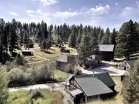
- Kings Hill Scenic BywayNeihart · Scenic bywayThe Little Belts Geographic Area is bisected north-south by the Kings Hill scenic byway on US Highway 89, along which Neihart and Monarch reside.
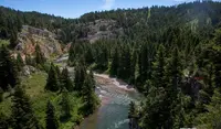
- Lake Koocanusa Scenic BywayLibby · Scenic highwayA scenic byway that follows the Kootenai River and Lake Koocanusa between Libby and Eureka, Montana, open year-round. Created in 1992 as the Northern Region's 5th scenic byway.
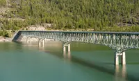
- Missouri Breaks Back Country BywayLewistown · National back country bywayThe Missouri Breaks National Back Country Byway traverses one of the most geologically unique and historically significant areas in Montana. The Wild and Scenic River from Fort Benton downstream to the James Kipp Recreation Area is the foremost component of the Lewis & Clark National Historic Trail.
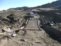
- Pintler Veterans' Memorial Scenic HighwayAnaconda · Statutory memorial scenic highway on montana highway 1This 64-mile drive goes from Anaconda, one of Montana's most historic towns, to Georgetown Lake, Philipsburg and ends in Drummond. The road travels through both conifer-clad mountains and sage-covered hills following the Flint Creek and is a wonderful alternative to Interstate 90 when traveling between Butte and Missoula.
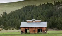
- Pioneer Mountains Scenic BywayWise River · Scenic highwayOn the Pioneer Mountains Scenic Byway in the Beaverhead-Deerlodge National Forest, you can travel the length of the Pioneer Mountain Range. Granite peaks topping 10,000 feet in elevation are to the east, and gentler, forested terrain stretches out to the west.
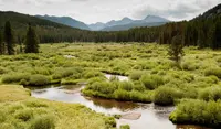
- St. Regis-Paradise Scenic BywaySt. Regis · Scenic bywayAn alternate route for Interstate 90 travelers to Glacier National Park and Flathead Lake, crossing rolling flats and steep canyon walls.
Nevada
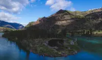
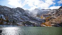
- Angel Lake Scenic BywayWells · Scenic bywayNevada State Route 231 climbs 3,000 feet in twelve miles from Wells to Angel Lake, a glacial cirque tarn closed in September 2026 for construction of a new dam.
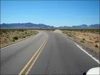
- Bitter Springs Back Country BywayOverton · Back country byway (BLM type II)A 28-mile BLM dirt road in Clark County that leaves Highway 169 at a hard bend and crosses the crest of the Muddy Mountains to a desert spring in Echo Wash.
- California Trail Back Country BywayThousand Springs area · Type iA 96-mile Bureau of Land Management byway in Elko County, Nevada, running beside the California Trail, where emigrant wagon ruts still show near Thousand Springs.
- Fort Churchill to Wellington Back Country BywaySilver Springs · Back country byway - type i & type IIA 67-mile BLM back-country route in western Nevada running from the adobe ruins of Fort Churchill, an 1860 Army post, over the Pine Nut Mountains to Wellington.
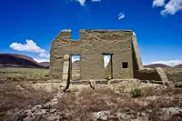
- Gold Butte Back Country BywayMesquite · Back country bywayThe Gold Butte Back Country Byway is a 62-mile loop south of Mesquite, Nevada, past a 1908 mining camp, wagon masters' axle-grease signatures, and a 110-foot sinkhole.
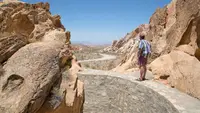
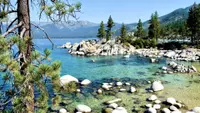
- Lake Tahoe & Mount Rose Scenic BywayLake Tahoe · Scenic bywayNevada State Scenic Byway that climbs 4,000 feet over Mount Rose from the sagebrush of Reno to ponderosa pines and Lake Tahoe at Incline Village; passes through Tahoe Meadows near the Sierra Nevada's highest year-round pass.
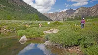
- Lamoille Canyon Scenic BywayNV · State byway, forest service bywayThis byway travels to Lamoille Canyon, carved into the Ruby Mountains by glaciers and known for its U-shaped canyons, valleys, peaks, and year-round snowfields.
- Lovelock Cave Back Country BywayLovelock · Cave with historic significanceAnnual three-day event hosted by the BLM Humboldt River Field Office for hundreds of local fourth graders from Winnemucca, Lovelock, McDermitt, and Orovada. Activities include stations on local tribal culture, ethnobotany, emigrants, and the archaeology and geology of the cave, a simulated atlatl throwing game, and wildlife presentations. Held each year in May as part of Nevada Archeology and Historic Preservation Month.
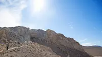
- Lunar Crater Back Country BywayTonopah · Scenic loopA 24-mile unpaved loop through a volcanic field in Nye County, Nevada, where Apollo astronauts trained among cinder cones around a crater shaped like those on the moon.
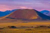
- Mount Wilson Back Country BywayPioche · Backcountry bywayAn approximately 66-mile Type II route through Lincoln County, Nevada, that loops around the Wilson Range.
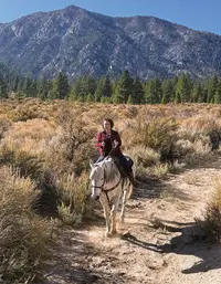
- Mt. Charleston Scenic BywayMt. Charleston · State bywayThirty-six miles on three state routes - Lee Canyon Road (SR 156), a portion of Kyle Canyon Road (SR 157), and Deer Creek Road (SR 158) - link U.S. 95 with the majestic, 11,918-foot Mt. Charleston in the Spring Mountain Range.
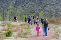
- Pyramid Lake Scenic BywaySutcliffe · Travel serviceY-shaped route sponsored by Native Americans and located within the Pyramid Lake Indian Reservation in Nevada. Runs partially along the southern end of the desert-locked Pyramid Lake and passes fish hatcheries operated by the Paiute Tribe.
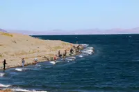
- Red Rock Canyon Back Country BywayLas Vegas · 13 mile-one-way paved road (scenic drive)A 13-mile one-way paved road through the heart of the Conservation Area, with 12 parking areas and trailheads and the visitor center at the beginning of the drive.
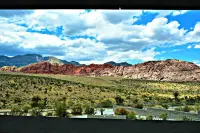
- Success Loop Scenic DriveEly · Scenic loop roadAn alpine loop near Ely that winds through the verdant Schell Creek Range, with scenic vistas and opportunities for hiking and camping.
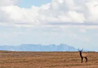
- The Loneliest Road in America (US 50)Carson City, Dayton, Fallon, Austin, Eureka, Ely, Baker · US highway 50 road tripThis famous Nevada road trip is a gateway to ghost towns, historic mining communities, state parks, recreation and Sagebrush Saloons.
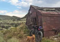
- Valley of Fire Scenic BywayOverton · Scenic bywayThe Valley of Fire Scenic Byway takes travelers past geologic marvels like Arch Rock, Elephant Rock, and the Fire Canyon Overlook.
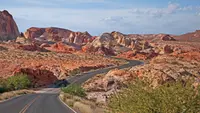
- Wheeler Peak Scenic DriveBaker · Scenic driveTaking a drive along the Wheeler Peak Scenic Drive is a highlight of any visit to Great Basin National Park. A true mountain road, the scenic drive hugs the mountains of the South Snake Range, slowly winding you to a point above all others, where vistas reach the horizon, and one is met with a pristine view of the rugged and harsh, yet beautiful, Great Basin Desert.
New Mexico
- Chain of Craters Back Country BywayGrants · 33-mile backcountry bywayCounty Road 42, a 33-mile dirt byway in Cibola County, New Mexico, running past a line of more than 25 cinder cones along the west edge of El Malpais.
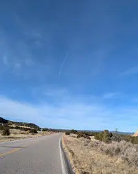
- Enchanted Circle Scenic BywayTaos · National forest scenic bywayAn 84-mile loop of four highways out of Taos around Wheeler Peak, New Mexico's highest mountain, past the nation's first memorial to Vietnam War veterans.
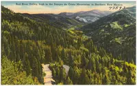
- Geronimo Trail Scenic BywayTruth or Consequences · National scenic bywayA National Scenic Byway out of Truth or Consequences, New Mexico, forking west over Emory Pass and north past silver-boom towns to the forest camp at Beaverhead.
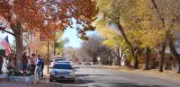
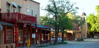
- High Road to Taos Scenic BywayChimayó · Scenic bywayThe High Road to Taos, a 105-mile state scenic byway through the Sangre de Cristo villages between Santa Fe and Ranchos de Taos, passes the healing-earth chapel at Chimayó.
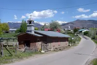
- Turquoise Trail National Scenic BywayMadrid · National scenic bywayAbout 50 miles along Highway 14 between Santa Fe and Albuquerque, with a view from atop Sandia Crest and the mining towns of Golden, Madrid, and Cerrillos.
Oregon
- Blue Mountain Scenic BywayHeppner · Scenic bywayA two-lane Forest Service byway from I-84 at Heppner Junction over Oregon's Blue Mountains, past a wintering ground where more than 1,000 Rocky Mountain elk gather.
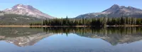
- Cascade Lakes Scenic BywayBend · Scenic bywayThe Cascade Lakes Scenic Byway runs 66 miles from Bend past Mount Bachelor and a chain of volcanic lakes to Oregon 58, through lava fields where Apollo astronauts trained.
- Charleston to Bandon Tour RouteCharleston · Scenic driveA spur off the Pacific Coast Scenic Byway in Coos County, Oregon, from the Charleston fishing port past Cape Arago's sea lions and down Seven Devils Road to Bandon's beach.

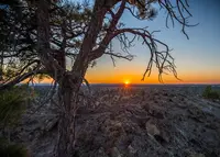
- Christmas Valley Back Country BywaySilver Lake · Back country bywayA 93-mile Bureau of Land Management byway across Oregon's high-desert Fort Rock basin, where ponderosa pines grow on about 9.5 inches of rain, 40 miles from the nearest ponderosa forest.
- Cottage Grove Covered Bridge Tour RouteCottage Grove · Covered bridge tour route (for motor vehicles)A 20-mile loop past six covered bridges around Cottage Grove, Oregon, ending at what is believed to be the last covered railroad bridge west of the Mississippi.
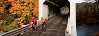
- Cow Creek Tour RouteRiddle · Scenic canyon drive through western oregon's historic mining countryA 45-mile two-lane byway along Cow Creek from Riddle to Glendale, Oregon, on an old railroad grade, past the tailings of the last nickel smelter in the lower 48.
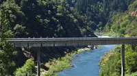
- Diamond Loop Back Country BywayDiamond · Tour routeA 69-mile Bureau of Land Management loop in Harney County, Oregon, crossing Malheur refuge marsh, a basalt crater field, and Peter French's round horse-breaking corral of stone and juniper.
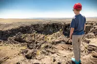
- East Steens Tour RouteFields · Tour routeA 143-mile Oregon State Scenic Backway in Harney County, running from Fields to Burns along the Alvord playa, beneath the mile-high east face of Steens Mountain.
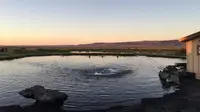
- Elkhorn Drive Scenic BywayBaker City · Scenic driveA 106-mile loop through the Elkhorn Mountains west of Baker City, Oregon, that tops out at 7,392-foot Elkhorn Summit, the second-highest paved road in the state.
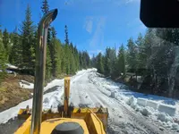
- Galice-Hellgate Back Country BywayGalice · Back country bywayThe Galice-Hellgate Back Country Byway follows the Rogue River west from Merlin, Oregon, past a gorge more than 200 feet deep to the old Takelma trail at Grave Creek.
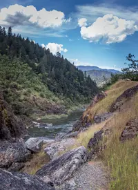
- Grande Tour RouteLa Grande · Scenic driveAn eighty-mile signed loop around eastern Oregon's Grande Ronde Valley, passing mint fields and a 1906 brick sanatorium once billed as the "Mayo Clinic of the West."
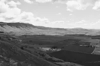
- Hells Canyon Scenic BywayJoseph · All-american roadAn All-American Road looping some 218 miles around Oregon's Wallowa Mountains, climbing from Joseph's bronze foundries over Forest Road 39 to the rim of North America's deepest canyon.
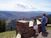
- High Desert Discovery Scenic BywayBurns · Scenic bywayThe 127-mile run of Oregon 205 from Burns to Fields, through the Malheur marshes and under Steens Mountain, across a valley Peter French once fenced for his cattle.
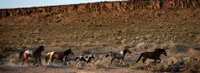
- Historic Columbia River HighwayTroutdale · National historic landmarkThe Historic Columbia River Highway, built 1913 to 1922 from the Sandy River near Troutdale to The Dalles, was laid out by an engineer who surveyed first for "the beauty spots."
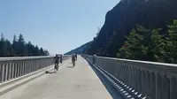
- Journey Through Time Scenic BywayFossil · Scenic bywayThe marks of time are stamped across the landscape on this 286-mile/460-kilometer route through prehistoric fossil beds, mining boomtowns and surprising sights like the Painted Hills.
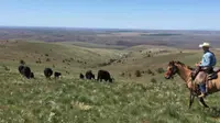
- Lakeview to Steens Back Country BywayLakeview · Scenic bywayWaterfowl in the Warner Wetlands, the geologic escarpment at Hart Mountain and the National Antelope Refuge, and wide views of the high desert west of Steens Mountain.
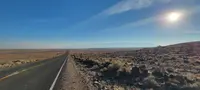
- Lower Crooked River Back Country BywayPrineville · Back country bywayAn Oregon state highway located in Deschutes County and Crook County. OR 27 traverses the Crooked River Highway No. 14 of the Oregon state highway system. Known as the Lower Crooked River Back Country Byway, OR 27 has the distinction of being one of the only state highways in Oregon which is partially paved.
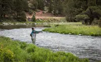
- Lower Deschutes River Back Country BywayMaupin · E-bike rental outfitterMaupin outfitter offering hourly rentals of full suspension, Class 3 cargo e-bikes for scenic rides along the Wild and Scenic Lower Deschutes River between Maupin and Sherars Falls, with views of rafters at Oak Springs, Mt. Hood, and Sherars Falls.

- Marys Peak to Pacific Scenic BywayCorvallis · State bywayFrom the highest point in the Coast Range to the broad, sandy beaches of the Central Coast, one of Oregon's newest byways follows the Alsea River on a delightfully meandering 72-mile tour.
- McKenzie Pass-Santiam Pass Scenic BywayMcKenzie Bridge and Sisters · Part of the mckenzie pass - santiam pass national scenic bywayA portion of the byway travels through the McKenzie River Ranger District of the Willamette National Forest where you'll experience dramatic views of the snowcapped High Cascade Peaks.
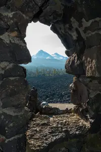
- McKenzie River Scenic BywayEugene · 34-mile/55-kilometer riverside routeThe steely blue McKenzie River sets the course for this 34-mile/55-kilometer riverside route, which links the fruitful Willamette Valley to the fragrant fir forests of the Cascade Mountains.
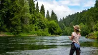
- Mt. Hood Scenic BywayHood River · Scenic bywayThe glacier-caked summit of Oregon's highest peak creates a dramatic centerpiece for this 100-mile/161-kilometer route that skirts the mountain through fruit valleys and thick fir forest.
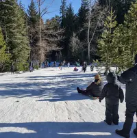
- Myrtle Creek-Canyonville Tour RouteMyrtle Creek · Tour routePicturesque farms, verdant forests and scenic streams through the southern Cascade foothills on an easy-to-access 68-mile Tour Route east of I-5.
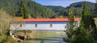
- Outback Scenic BywayLakeview · Scenic bywayThe delicate beauty of the high desert sweeps from horizon to horizon on this 171-mile/275-kilometer drive across the Great Basin, a landscape as vast as an inland sea.
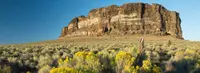
- Over the Rivers and Through the Woods Scenic BywaySweet Home · Scenic bywayA 66-mile/106-kilometer byway climbing through five ecosystems from the Willamette Valley to the West Cascade Mountains.
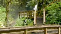
- Pacific Coast Scenic BywayAstoria · All-american roadStarting in Astoria and traveling south to Brookings, the byway winds past estuarine marshes, clings to seaside cliffs, passes through agricultural valleys, and brushes against wind-sculpted dunes; charming small towns, museums, state parks, overlooks, historic bridges, and lighthouses ensure a delightful journey.
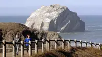
- Quartzville Back Country BywayCascadia · Back country bywayEnjoy a day of hiking and exploring along the BLM's Quartzville Back Country Byway, or spend the day fishing, swimming, and gold panning on the serene Quartzville River.
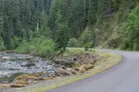
- Rogue-Coquille Scenic BywayGold Beach · Scenic bywayThis discovery drive provides scenic ocean views and an unforgettable experience of the true ruggedness and beauty of remote Oregon along its wild rivers and vast forests. The portion between Gold Beach and Myrtle Point is aptly named the Rogue-Coquille Scenic Byway
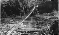
- Rogue-Umpqua Scenic BywayRoseburg · Scenic bywayMore commonly known as the "highway of waterfalls," the byway ascends from I-5 into the southern Cascades, tracking two of Oregon's most storied rivers.
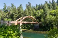
- Silver Falls Tour RouteSilverton · Scenic drivesSide-loop route, with the Trail of Ten Falls, Cascade peaks visible, and the South Falls Lodge constructed by the CCC.
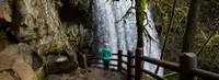
- Snake River-Mormon Basin Back Country BywayBaker City · Back country bywayA 150-mile byway through the rangelands of eastern Oregon's Baker and Malheur counties, with options for high-clearance two-wheel drive vehicles. Steep canyons, prominent cliffs, and rock outcrops line the route.
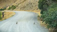
- South Fork John Day River Back Country BywayDayville · Back country bywayThis gravelled Back Country Byway parallels the Wild and Scenic South Fork John Day River through its incised canyon for a distance of 50 miles from its northern terminus at Dayville to the northern border of Malheur National Forest to the south.
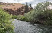
- Steens Loop Tour RouteFrenchglen · Steens mountain backcountry bywayThe Steens Mountain Loop Road is Oregon's highest elevation road and is generally open from early July to November. It affords visitor access to four developed campgrounds and overlooks at Kiger Gorge, East Rim, Big Indian Gorge, Wildhorse and Little Blitzen Gorge. The Loop Road also accesses the Riddle Brothers Ranch National Historic District.
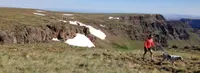
- Trees to Sea Scenic BywayBanks · State bywayOne of Oregon's newest scenic byways, connecting Tualatin Valley through the Tillamook State Forest to the Oregon Coast.
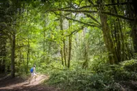
- Umpqua River Scenic BywaySutherlin · Scenic bywayA 66-mile/106-kilometer drive through historic timber towns, wine country, fishing hot spots and fur-trading posts, twisting through the Coast Range on its way to the Pacific
- Vineyard and Valley Tour RouteSherwood · Tour routes & trailsHandpicked produce, carefully crafted wines and bucolic beauty will tempt you at every turn on this 57-mile/92-kilometer route through the Tualatin Valley — an easy side trip from the Portland metro area
- Volcanic Legacy Scenic BywayKlamath Falls · All american roadOne of 42 All-American Roads, bookended by Lassen Volcanic National Park and Crater Lake National Park; the byway region has been molded by its fiery volcanic past, with soaring volcanic peaks, expansive lava flows, lava tubes, caves, spatter cones, bubbling mudpots, and steaming fumaroles.
- West Cascades Scenic BywayEstacada · All-american roadA 215-mile drive along the lush western slope of the Cascade Mountains, where some of Oregon's best-known rivers spill through timeless fir forests.
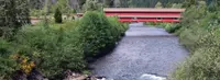
Utah
- Energy Loop Scenic BywayFairview · National scenic bywayA forked national scenic byway out of Fairview, Utah, that climbs the Wasatch Plateau past coal mines, a power plant, and the reservoir where a mammoth surfaced in 1988.
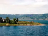
- Flaming Gorge-Uintas Scenic BywayManila · National scenic bywayA national scenic byway climbing from Vernal over the Uinta Mountains' eastern flank to Manila and Flaming Gorge Dam, its roadside signs marking rock formations nearly every hundred yards.
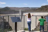
- Scenic Byway 12Escalante · All-american roadA 120-mile All-American Road in southern Utah connecting Bryce Canyon National Park, Grand Staircase-Escalante National Monument, and Capitol Reef National Park.
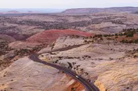
- Smithsonian Butte National Back Country BywayRockville · Back country bywayA 9.25-mile Back Country Byway between Rockville and Apple Valley, Utah, just south of Zion National Park. Carries visitors from the Virgin River floodplain, through pinyon-juniper woodlands, to sagebrush desert at the Big Plain Junction of Highway 59.
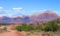
- Utah's Patchwork Parkway Scenic BywayParowan to Panguitch · National scenic byway (s.r. 143)Every bend in the road brings into vision a new patch of scenery from colorful rocky cliffs and spires, alpine forests, lush meadows with rambling streams, crystal blue lakes and an unexpected splash of lava fields amidst the towering aspen trees.
Washington
- Bay-2-Bay Scenic BywayWestport · Scenic bywayState Route 105, about fifty miles of Washington's southwest coast between Grays Harbor and Willapa Bay, whose Raymond–Tokeland link took citizens from 1923 to 1962 to win.

- Cape Flattery Tribal Scenic BywayNeah Bay · Scenic bywayThe twelve-mile Makah Reservation road from Neah Bay to Cape Flattery, Washington, ending at a trail to the northwestern corner of the contiguous United States, was the first tribal road awarded scenic status.

- Cascade Loop Scenic BywayNational scenic bywayThe Cascade Loop is a 440-mile National Scenic Byway around Washington's North Cascades, hinged at Twisp, where SR 153 hands off to a mountain highway that closes each winter.
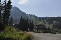
- Cascade Valleys Heritage CorridorWashington state scenic bywayA Washington State Scenic Byway on SR 202 from Woodinville to North Bend, following the Snoqualmie River along a route that began as a Native American footpath toward Snoqualmie Pass.

- Chinook Scenic BywayEnumclaw · All-american roadThe Chinook Scenic Byway, State Route 410 from Enumclaw to Naches, Washington, crosses 5,430-foot Chinook Pass beneath a 1936 log-and-stone arch that carries the Pacific Crest Trail.
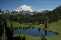
- Chuckanut Drive Scenic BywayBurlington · State bywayChuckanut Drive, State Route 11 between Burlington and Bellingham, Washington, is a 1916 highway cut partly by convict crews into sandstone cliffs above Samish Bay and the railroad.

- Columbia River Gorge Scenic BywayStevenson · Scenic bywayWashington State Route 14 along the north bank of the Columbia from Camas to Maryhill, a two-lane road past a volcano's core, a salmon ladder, petroglyphs, and a full-scale Stonehenge.
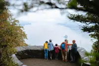
- Coulee Corridor Scenic BywayGrand Coulee · National scenic bywayA 150-mile national scenic byway from Othello to Omak, Washington, following dry canyons cut by Ice Age floods, past Dry Falls, Steamboat Rock and Grand Coulee Dam.
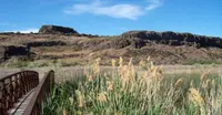
- Hidden Coast Scenic BywayHoquiam · State bywayState Route 109, a 41-mile state byway from Hoquiam to Taholah on Washington's Pacific coast, where cars may still drive onto the beach that once served as the road.
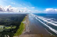
- International Selkirk LoopNewport · All-american road national scenic bywayThe International Selkirk Loop is a 280-mile All-American Road around the Selkirk Mountains of Washington, Idaho and British Columbia, entered from Newport and crossing Kootenay Lake on a free ferry.
- Lewis and Clark Trail Scenic BywayClarkston · Scenic bywayThe Lewis and Clark Trail Scenic Byway in Washington follows the path of Meriwether Lewis and William Clark's famous Corps of Discovery expedition as it moved west along the Snake and Columbia rivers.
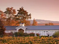
- Mather Memorial ParkwayEnumclaw · National scenic bywayMather Memorial Parkway Created in 1931, this paved two-lane classic Cascades drive along Highway 410 from Enumclaw to the eastern edge of Mount Rainier National Park presents majestic views of Mount Rainier and surrounding peaks.
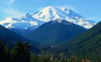
- Mount Baker Scenic BywayBellingham · Scenic bywayWinding along the banks of the Nooksack River, through small logging communities, past waterfalls and alongside old-growth forest groves, this 58-mile trek ends at the base of the 10,781-foot volcano Mount Baker.
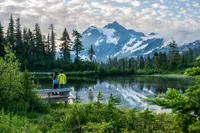
- Mountain Loop Scenic BywayGranite Falls · National forest scenic bywayA 55-mile National Forest Scenic Byway connecting Darrington with Granite Falls, passing through boom-and-bust town sites, abandoned mining claims, rushing rivers, and glacier-clad peaks.
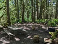
- Mountains to Sound GreenwaySeattle · National scenic bywayA picturesque section of Interstate 90 spanning the Mountains to Sound Greenway National Heritage Area from Seattle to Thorp.
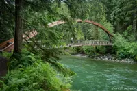
- North Cascades Scenic HighwayNewhalem · Designated bywayDrive approximately 30 miles across the park on the North Cascades Highway (State Route 20), and experience the old growth forests, cascading waterfalls, and mountain scenery of North Cascades.
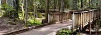
- North Pend Oreille Scenic BywayTiger · Scenic bywayThis drive through Colville National Forest is a favorite of outdoor adventurers, wildlife enthusiasts and visitors curious about the area's natural and human history.
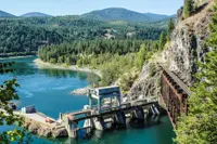
- Okanogan Trails Scenic BywayOkanogan · Scenic bywaySpans 80 miles from the U.S./Canada border south to Pateros WA, traversing the Colville Confederated Tribal Reservation and abutting the Okanogan National Forest.
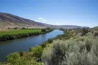
- Pacific Coast Scenic BywayAberdeen · National scenic bywayThe Olympic Peninsula is home to an ample segment of the 350-mile Pacific Coast Scenic Byway.
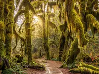
- Palouse Scenic BywayColfax · Scenic bywayKnown as a renowned photography destination, the Palouse Scenic Byway winds through rolling hills and farmland dotted with buttes formed by prehistoric glacial flooding. A mix of highways and quieter roads provides ample opportunity for peaceful exploration.
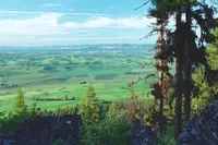
- Pend Oreille Valley Scenic BywayNewport · Scenic bywayTravels from Newport, Washington north on Hwy 20 to Tiger, following the Pend Oreille River as it flows north to Canada and turning west to join the Columbia River.
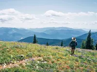
- Road to Rainier Scenic BywayElbe · Scenic bywayAn exciting destination all on its own with restaurants, lodging, outdoor gear, shops, galleries, a Pacific Northwest Art museum, and visitor centers
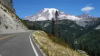
- San Juan Islands Scenic BywayFriday Harbor · State scenic bywayThe byway has three segments: 30 miles on Washington State Ferries routes, a San Juan Island driving tour, and an Orcas Island driving tour.

- Sherman Pass Scenic BywayKettle Falls · Multiple-use trailhead on sherman passA summer-and-winter trailhead with an outhouse, information board, trail maps, registration boxes, and parking for passenger vehicles, trucks, RVs, and horse trailers.
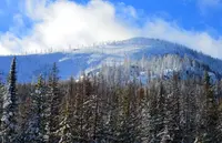
- Spirit Lake Memorial HighwayCastle Rock · Scenic bywayThe only scenic byway in Washington State, not to mention the United States, that enters a volcanic blast zone. Also known as the Spirit Lake Memorial Highway, SR-504 is a 52-mile journey into the scene of epic destruction that Mount St. Helens caused when it erupted on May 18, 1980.
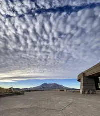
- Stevens Pass GreenwaySkykomish · National scenic bywayPart of the larger Cascade Loop; passes through the Mt. Baker-Snoqualmie and Okanogan-Wenatchee national forests, through the Skykomish Valley and over Stevens Pass.
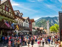
- Strait of Juan de Fuca HighwayPort Angeles · National scenic bywayThe remote Strait of Juan de Fuca Highway 112 winds along the magnificent shoreline of the narrow body of water that connects Puget Sound to the Pacific Ocean with views of Vancouver Island.

- Swiftwater CorridorCle Elum · State bywayThe Swiftwater Corridor rambles through back roads from Roslyn east of Snoqualmie Pass to Vantage on the Columbia River, past historic towns, logging camps, mines and ranches.
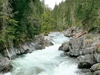
- U.S. 12 Snake River Bridge to Walla Walla Scenic BywayWallula · State scenic bywayRoughly 30-mile state scenic byway in Washington, traversing US 12 from the Snake River bridge area to Walla Walla.
- Whidbey Scenic Isle WayCoupeville · State parkRuns the length of Whidbey Island along State Routes 20 and 525, connecting Deception Pass State Park in the north to the town of Clinton in the south.
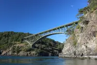
- White Pass Scenic BywayNational scenic bywayThe White Pass Scenic Byway travels through the Cascades, connecting forested foothills near Interstate 5 with the open landscapes and vineyards of the Yakima Valley.
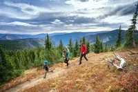
- Yakama Scenic BywayToppenish · Scenic bywayThe byway begins at a point where arid desert hills drop into productive plains—the Yakima Valley is one of the world’s leading agricultural regions. Then the byway leaves farmland behind and begins a slow climb into the desolate beauty of the hills leading into the Simcoe Mountains and across Satus Pass.
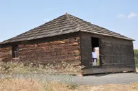
- Yakima River Canyon Scenic BywayEllensburg · Scenic bywayThe short and sublime Yakima River Canyon Scenic Byway, also known as Canyon Road, this byway is a dazzling alternative to driving I-82 between Ellensburg and Yakima. A trip that is scenic yeararound, Canyon Road follows the Yakima River on a lonely, curvy twolane road between high-desert sage-covered hills.
Wyoming
- Battle Pass Scenic BywayEncampment · Scenic bywayWyoming Highway 70 over the Sierra Madre from Encampment to Baggs, crossing the Continental Divide at Battle Pass, named for an 1841 fight in which trapper Henry Fraeb died.
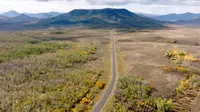
- Bighorn Scenic BywayGreybull · Scenic bywayThe Bighorn Scenic Byway carries U.S. 14 over Wyoming's Bighorn Mountains from Shell to Dayton, past a 120-foot falls through rock one ranger said exposes every formation in the state.
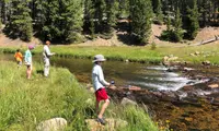
- Buffalo Bill Cody Scenic BywayCody · Scenic bywayA 27.5-mile scenic byway on US 14-16-20 up the North Fork of the Shoshone from Cody to Yellowstone's East Entrance, where early travelers forded rivers twenty-nine times.
- Chief Joseph Scenic BywayCody · State bywayWyoming Highway 296, a 47-mile byway from north of Cody to the Beartooth Highway, crosses Dead Indian Pass, where Chief Joseph led the Nez Perce in 1877.
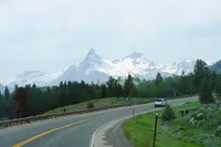
- Cloud Peak SkywayBuffalo · Paved scenic driveThe Cloud Peak Skyway carries U.S. 16 over the Bighorn Mountains from Buffalo to Ten Sleep, crossing 9,666-foot Powder River Pass on a road finished as gravel in 1922.
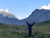
- Medicine Wheel Passage Scenic BywayLovell · Scenic bywayTravelers along U.S. Highway 14A, the Medicine Wheel Passage Scenic Byway, encounter high elevation plains and deep canyon country up close; fishing, waterfalls, and cultural sites.
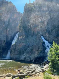
- Seminoe-Alcova Scenic BackwaySinclair · Back country bywayThe 64-mile Seminoe-Alcova Back Country Byway lies in south central Wyoming. As you travel, you'll pass pronghorn-grazed prairie, stark desert, and you'll climb the rugged Seminoe Mountains.
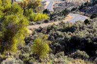
- Snowy Range Scenic BywayCentennial · Scenic bywayDesignated the Second National Forest Scenic Byway in the United States; the route along Highway 130 from Laramie to the Upper Platte River Valley, begun in 1920 and completed in 6 years.
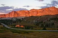
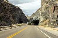
- Wind River Canyon Scenic BywayThermopolis · Wyoming state scenic bywayA Geologic Masterpiece. The Wind River Canyon Scenic Byway begins in the town of Shoshoni and follows U.S. 20 north through Wind River Canyon and the Wind River Indian Reservation ending just south of Thermopolis.
More under The Road: Small Ferries, Train Rides, and Roadside Attractions.