Mountain Loop Scenic Byway
Granite Falls, Snohomish County, Washington. National Forest Scenic Byway.
Details

- Where
- 1405 Emens Avenue North, Darrington, Granite Falls, WA 98241. Directions
- When
- Darrington Ranger Station starting October 2: Monday and Friday 8:00 am - 4:00 pm; closed 12:00-1:00 pm for lunch; closed Tuesday, Wednesday, Thursday, Saturday, Sunday, and federal holidays.
- Season
- Late spring through fall (snow lingers at Barlow Pass through late spring, limiting the full loop).
- Getting there
- From Rockport, travel south on Route 530. The byway starts at Darrington and follows Route 530 for 27 miles through the national forest to Robe.
- Fees
- Recreation passes honored: Digital Passes, Northwest Forest Pass, and Interagency Recreation Passes. Washington State Discover Pass is not valid at US Fee Sites.
- Access
- Paved from Verlot to Barlow Pass and from Darrington to the White Chuck River Road junction. The middle 14 miles is a single-lane gravel road. Snow lingers at Barlow Pass through late spring, so the full loop is usually driven late spring through fall.
- Walk-in or reserve
- See Recreation.gov for Campground fees and reservations.
- Phone
- (360) 436-1155
- Website
- recreation.gov
- Managed by
- Mount Baker-Snoqualmie National Forest, Darrington Ranger District.
- Established
- 1991.
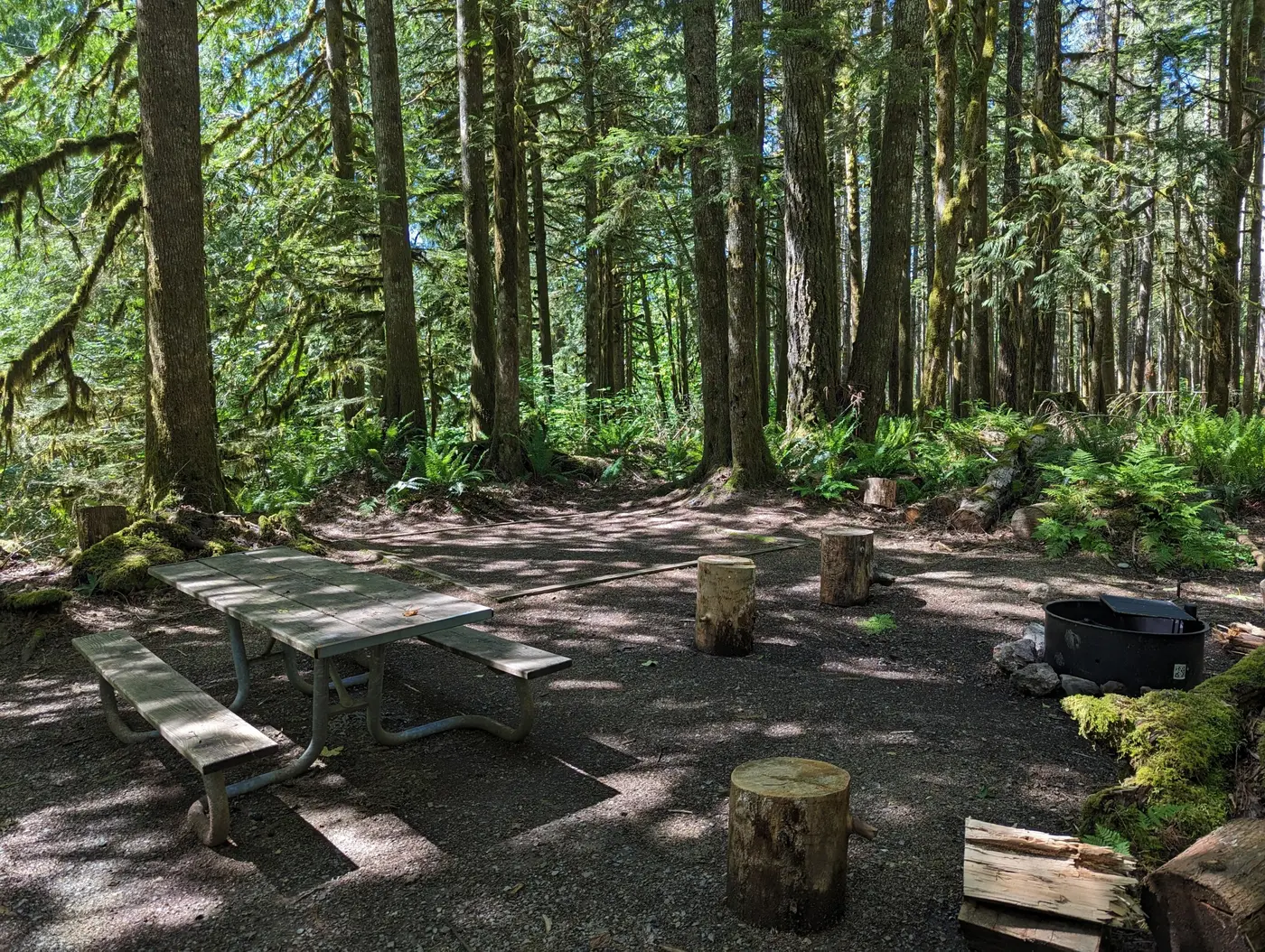
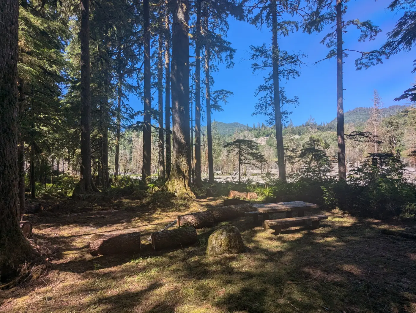
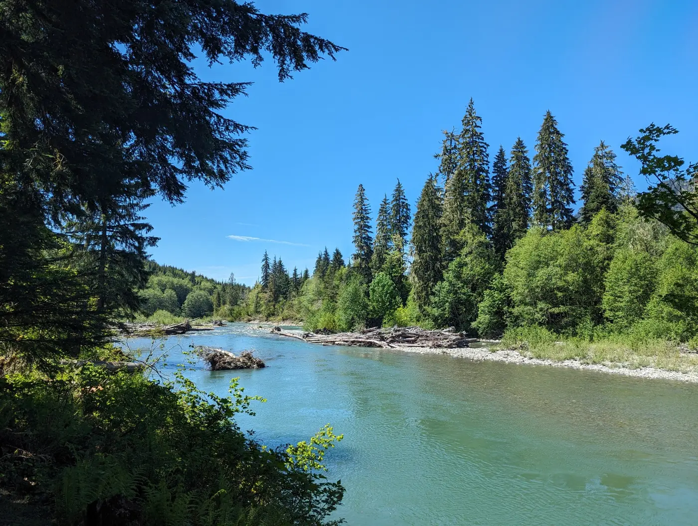
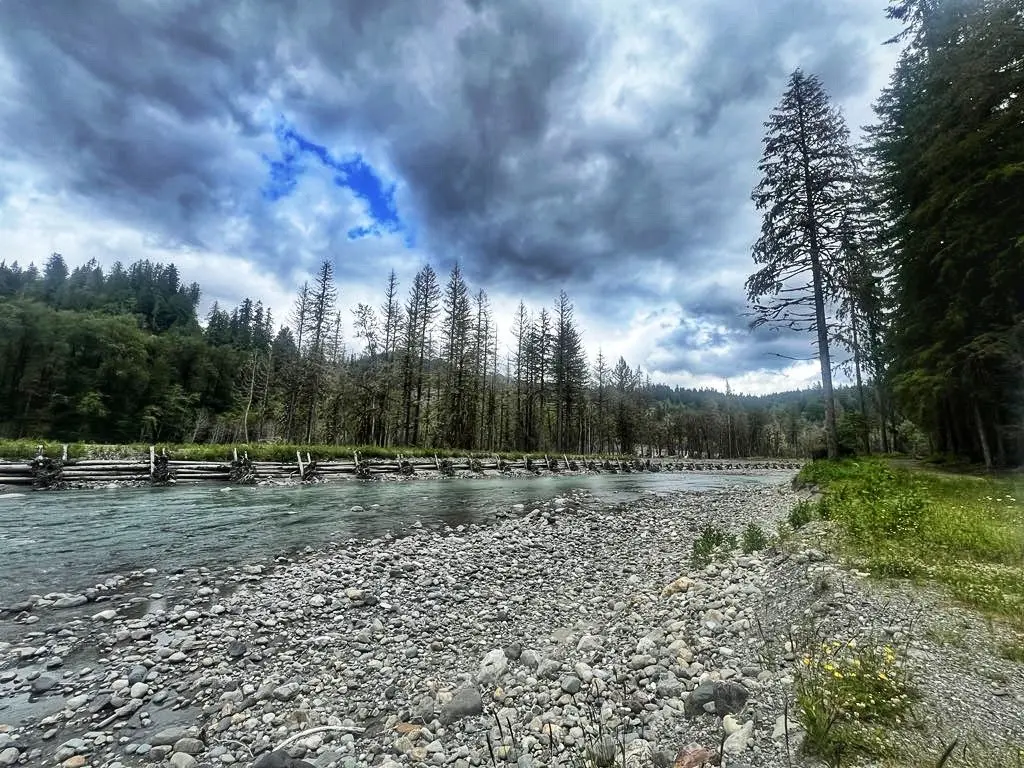
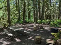
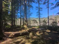
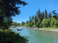
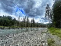
A 55-mile National Forest Scenic Byway connecting Darrington with Granite Falls, passing through boom-and-bust town sites, abandoned mining claims, rushing rivers, and glacier-clad peaks.
Notable Events
- 1889Joseph L. Persall staked his claim in a newly platted mining region of Snohomish County and named it the Independence of 1776 Mine. discoverdarrington.com
- 1891A caravan of horse and oxen moving tons of equipment reached Monte Cristo, blasting and building a road as they went. discoverdarrington.com
- 1930The lobbying began in 1930, and the roadway was built in segments east from Granite Falls beginning in the early years of the Great Depression. mynorthwest.com
- 1932In early spring 1932 another massive flood and the Depression's effects on logging and tourism to Big Four Inn led to a shutdown of regular railroad service. historylink.org
- 1933The railroad was halted permanently in April 1933. mynorthwest.com
- 1934Snohomish County opened the present steel-truss bridge at Granite Falls in July 1934. historylink.org
- 1936Workers began removing rails on the abandoned Hartford Eastern Railway between Hartford and Monte Cristo, clearing the way for a new Forest Service road along the South Fork Stillaguamish River. historylink.org
- 1938In 1938 the first truck made it through, carrying lumber to build Ted Turner's home just west of Silverton. historylink.org
- 1941The CCC Camp Darrington crew from the north and the Verlot crew from the south connected the road at Barlow Pass. discoverdarrington.com
- 1941The crews working from both sides linked up in December 1941, just in time for wartime restrictions and closures. historylink.org
- 1942The highway was officially dedicated on Oct. 19, 1942. mynorthwest.com
- 1975The Federal Highway Administration replaced the three deteriorating log bridges across the South Fork Sauk River with concrete ones. historylink.org
- 1990In 1990 the highway moved to the west side of the Sauk River due to ongoing washouts, disconnecting the original CCC road. discoverdarrington.com
- 1991The road was designated a Scenic Byway in 1991. fs.usda.gov
People
- John Quincey Barlow, Surveyor who discovered a railroad route from Everett to Monte Cristo (1891).
- Joseph L. Persall, Prospector who staked the first claim in the mining region, the Independence of 1776 Mine (1889).
- Sam Strom, Local prospector whose claim the CCC road crossed; ran a 25-cent toll gate on it.
- Wyatt and Bethel Rucker, Hartford sawmill owners who leased the railway, renamed it the Hartford Eastern, and built Big Four Inn (Around 1915).
- Mon Wallgren, Everett Democratic congressman (later governor) who demanded action on the highway (1891-1961).
- Perry Black, Everett attorney who chaired the Everett Chamber of Commerce Roads and Highways Committee, most active in pressing for the highway.
Sources
- fs.usda.gov/r06/mbs/recreation/mountain-loop-scenic-byway
- fhwaapps.fhwa.dot.gov/bywaysp/byway/55512
- recreation.gov/gateways/13761
- snohomishcountywa.gov/518/Road-Closures
- historylink.org/File/8460
- discoverdarrington.com/history-2/history-of-the-mountain-loop-highway
- mynorthwest.com/history/all-over-the-map-mountain-loop-hightway-treasured-landscape/2878314