
Kings Canyon Scenic Byway (Highway 180)
Dunlap, Fresno County, California. Scenic Byways or Routes; mid-May to mid-October.
Details

- Where
- 35860 East Kings Canyon Road, Dunlap, CA 35860. Directions
- When
- A portion of this road, Hume Lake turn off to Roads End is closed during the winter. Typically November - April.
- Getting there
- From Fresno, travel east on Highway 180. The byway officially begins at the Hume Lake Ranger Station, Sequoia National Forest boundary, east of the intersection with Highway 63 North of Orange Cove. The road ends at Cedar Grove in Kings Canyon National Park.
- Fees
- there is an entrance fee for the Park and the Forest.
- Access
- Hume Lake Road to Roads End (Cedar Grove Area) is open in season; the section closes for the winter.
- Walk-in or reserve
- Reservations are not accepted or required.
- Phone
- 559-338-2251
- Website
- nps.gov
- Managed by
- Hume Lake Ranger District, Sequoia National Forest.
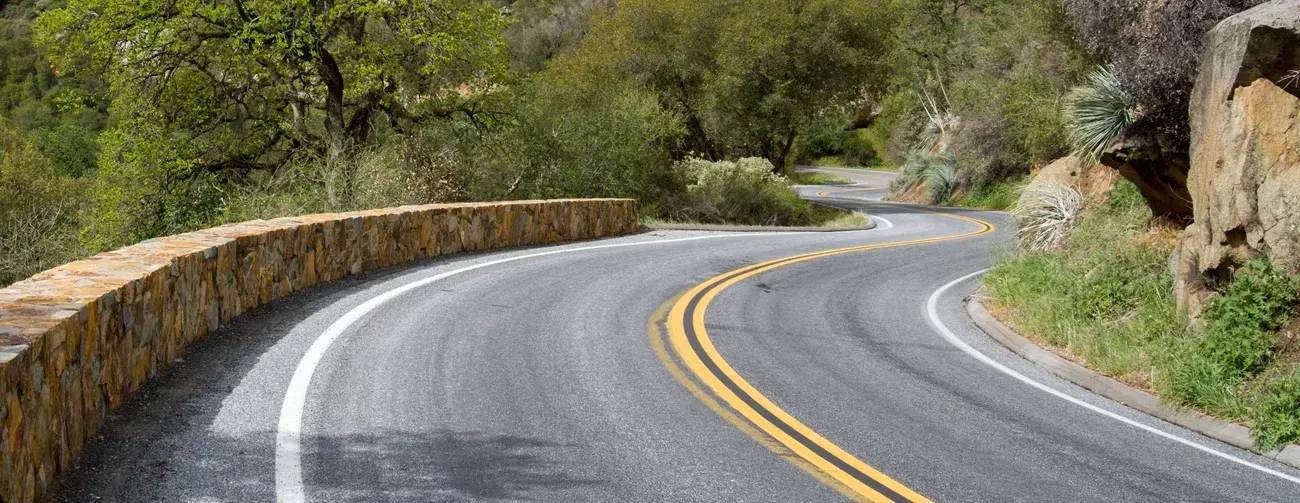
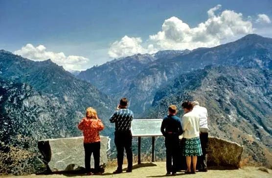
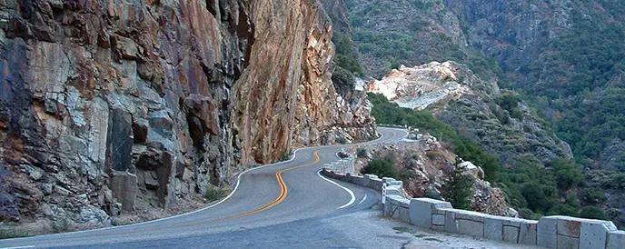
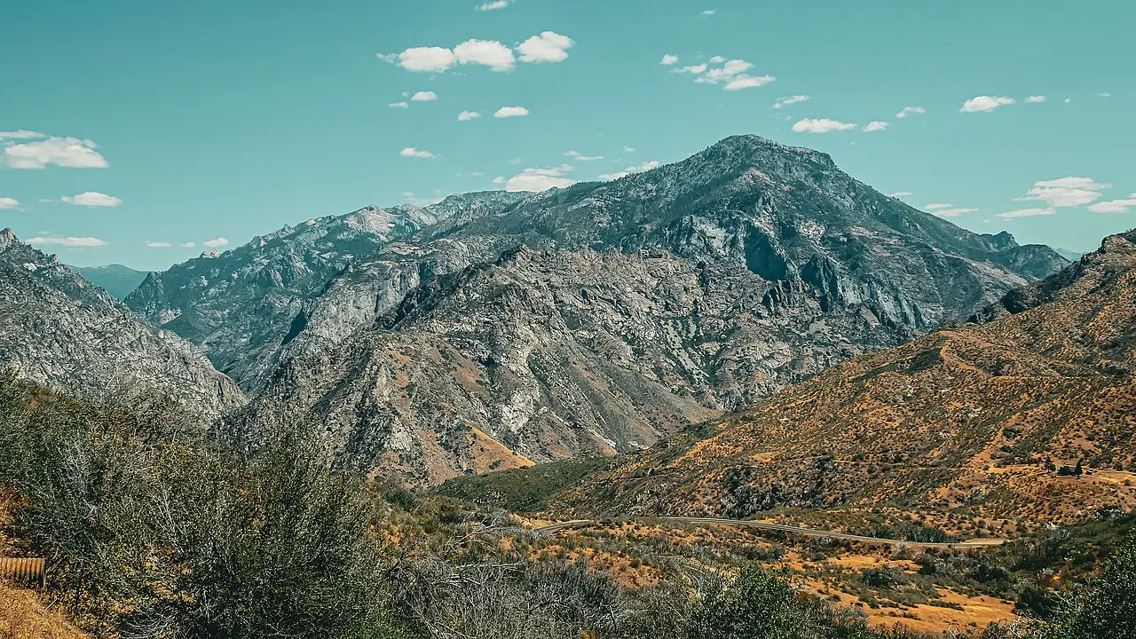
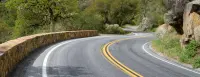
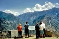
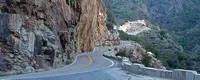
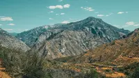
Beginning in the Sierra Nevada foothills near Dunlap, the Kings Canyon Scenic Byway traverses 50 spectacular miles leading to Roads End, all along Highway 180. The byway begins in the foothills outside of Fresno and then enters the Grant Grove area of Kings Canyon National Park. It then descends through Sequoia National Forest, then ends at the Cedar Grove area of Kings Canyon National Park.
Notable Events
- 1929The State of California began constructing a road from Grant Grove to Cedar Grove using prison labor. npshistory.com
- 1938The Grant Grove-to-Cedar Grove road was completed and forms the present road. npshistory.com
- 1940After sharp debate, the bill passed in early 1940 and Kings Canyon became a national park. npshistory.com
Sources
- sierranevadageotourism.org/entries/kings-canyon-scenic-byway/2b26f8d8-2708-4690-8a56-c0a346d37f81
- nps.gov/seki/planyourvisit/road-conditions.htm
- nps.gov/seki/planyourvisit/byways.htm
- fs.usda.gov/r05/sequoia/recreation/kings-canyon-scenic-byway
- nps.gov/seki/planyourvisit/hours.htm
- nps.gov/seki/planyourvisit/fees.htm
- nps.gov/seki/planyourvisit/conditions.htm
- fs.usda.gov/r05/sequoia/recreation/opportunities/scenic-drives
- roads.dot.ca.gov/roadscell.php?roadnumber=180
- nps.gov/seki/planyourvisit/byways.htm
- nps.gov/seki/learn/nature/geology_overview.htm
- npshistory.com/publications/seki/sequoia_history.pdf