Scenic drives and byways in California
Scenic drives and byways in California, each compiled from its own sources: length, season, road surface, and the towns on it. No ratings; every entry carries its status.
Point at a dot to see the place.Tap a dot to see the place. Road map of California.
- Ancient Bristlecone Scenic Byway (Route 168)Big Pine · Scenic byways or routesA 34-mile Forest Service byway climbs from the Owens Valley at Big Pine into California's White Mountains, ending among bristlecone pines that have been alive for more than 4,000 years.
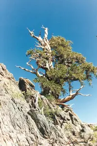
- Angeles Crest Scenic Byway (SR 2)La Cañada-Flintridge · Scenic bywayThe scenic byway ascends up and winds its way through 66 miles of the Angeles National Forest, through chaparral, and montane forest habitats, along the highest and most scenic ridges of the San Gabriel mountain range.
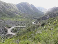
- Arroyo Seco Historic Parkway (Route 110)Los Angeles · California historic parkwayThe Arroyo Seco Parkway, Route 110 between downtown Los Angeles and Pasadena, opened in 1940 as what California calls the nation's first freeway.
- Big Sur Coast Highway (Route 1)Monterey · All-american roadRoute 1 along the Big Sur coast, California's first official scenic highway, opened in 1937 after San Quentin convict crews helped cut it from the Santa Lucia cliffs.
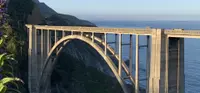
- Bigfoot Scenic BywayWillow Creek · Scenic bywayThe Bigfoot Scenic Byway, Highway 96 from Willow Creek up the Klamath River to Happy Camp in northwestern California, passes close to where the 1967 Patterson-Gimlin Bigfoot film was shot.
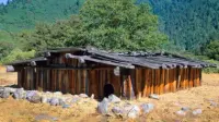
- Bradshaw Trail Back Country BywayBlythe · Back country bywayA 70-mile graded dirt road across the Colorado Desert of Riverside County, California, following the stage road William Bradshaw opened to the La Paz gold fields in 1862.
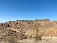
- Buckhorn Back Country BywayGerlach · BLM bywayA 31-mile single-lane gravel road kept by the BLM from Duck Flat, Nevada, to Ravendale, California, crossing wild-horse range and passing ponderosa pines rooted in sand.
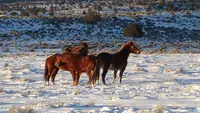
- Carson Pass Highway (Route 88)Woodfords · All-season roadwayCalifornia's Highway 88 crosses the Sierra Nevada at Carson Pass, 8,573 feet, on a line Washoe and Miwok traders walked long before Mormon wagons opened it in 1848.
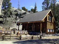
- Chimney Peak Back Country BywayLake Isabella · BLM bywayA graded dirt road north from Highway 178 in Kern County, California, running along the Chimney Peak Wilderness where Sierra Nevada pinyon country gives way to the Mojave.
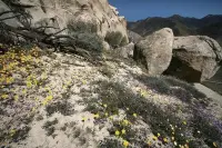
- Death Valley Scenic BywayFurnace Creek · National parkThe Death Valley Scenic Byway follows 81.5 miles of California Highway 190 through Death Valley National Park, partly on a 1926 toll road built to reach a desert hotel.
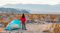
- Ebbetts Pass Scenic BywayArnold · National scenic bywayThe Ebbetts Pass Scenic Byway runs 61 miles over the Sierra Nevada from Arnold to Markleeville, narrowing near its 8,700-foot crest to a road with no center line.
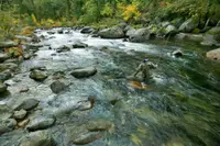
- Feather River Scenic Byway (Highway 70)Quincy · Scenic bywayThe Feather River Scenic Byway runs 130 miles on Highway 70 from above Oroville over Beckwourth Pass, sharing its North Fork canyon with a 1909 railroad and seven powerhouses.
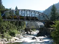
- Historic Route 66 (California segment)Victorville · National scenic bywayRoute 66 across the Mojave from Needles to Barstow, California, a National Scenic Byway since 2021, where the old highway crosses washes on timber trestles more than eight decades old.
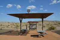
- Jacinto Reyes Scenic Byway (Route 33)Ojai · Forest service bywayThirty-eight miles of State Highway 33 north from Ojai through Los Padres National Forest, on a route the Reyes cattle family mapped to reach the sea.
- Kings Canyon Scenic Byway (Highway 180)Dunlap · Scenic byways or routesBeginning in the Sierra Nevada foothills near Dunlap, the Kings Canyon Scenic Byway traverses 50 spectacular miles leading to Roads End, all along Highway 180. The byway begins in the foothills outside of Fresno and then enters the Grant Grove area of Kings Canyon National Park. It then descends through Sequoia National Forest, then ends at the Cedar Grove area of Kings Canyon National Park.
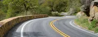
- Lassen Scenic BywayOld Station · National forest scenic bywayWinding through both Lassen National Forest and Lassen Volcanic National Park, the Lassen Scenic Byway is one of the most scenic drives in California. The 185-mile loop can be traveled in only a day, but it s best to take the time to appreciate its beauty and diversity by making frequent stops to hike, take photos, fish, camp, and just enjoy the fascinating nature that surrounds you.
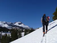
- Lee Vining Canyon Scenic BywayLee Vining · National forest scenic bywayThe Lee Vining Canyon Scenic Byway is located in east-central California and travels along California State Route 120 through theInyo National Forest to the Tioga Pass entrance of Yosemite National Park.
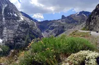
- Modoc Volcanic Scenic BywayMcCloud · Scenic bywayTraversing an area unrivaled in North America for its volcanic features, the Modoc Volcanic Scenic Byway provides a rich mixture of geology, wildlife viewing and native American history.
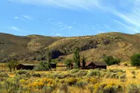
- Palms to Pines Scenic BywayPalm Desert · Scenic driveThis 67-mile route will take you from Palm Desert past snow-peaked mountains to Banning Pass.
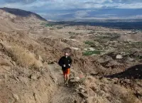
- Rim of the World Scenic BywayLake Arrowhead · Scenic drivesThe Rim of the World Scenic Byway travels through some of the most naturally beautiful areas in Southern California. Spectacular vistas and panoramas exist everywhere along the route.
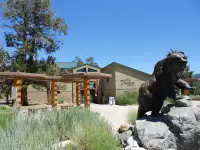
- Saline Valley Road Back Country BywayLone Pine · 4-wheel drive trailThis popular 4-wheel drive trail takes you through some of Death Valley's most intriguing terrain. At the bottom of the Saline Valley you'll find a salt marsh, hosting a variety of wildlife and plants standing out in the otherwise sparse terrain.
- San Luis Obispo North Coast Byway (Route 1)San Luis Obispo · All-american roadOcean-view adventures along the byway: whales migrating in the distance, rugged coastal trails, a hilltop mansion, a historic pier, quaint beach towns, and wine tasting in the vineyards of Edna Valley.
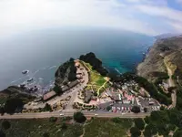
- Sierra Heritage Scenic Byway (Route 168)Clovis · Scenic byways or routesThe Sierra Heritage Scenic Byway (California Route 168) features a range of recreation opportunities, historic tours, and scenic views of mountains and valleys.
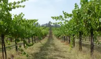
- Sierra Vista Scenic BywayNorth Fork · National scenic bywayLocated in the Sierra National Forest, the Sierra Vista Scenic Byway is a designated member of the National Scenic Byway System. The entire route meanders along National Forest roads, from North Fork to the exit point on Highway 41 past Nelder Grove, and without stopping takes about five hours to drive.
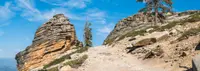
- Smith River Scenic Byway (Highway 199)Gasquet · U.s. forest service scenic bywayHighlighted by white-water rapids on the Smith River, redwoods, rhododendrons, ferns and diverse geological land forms and ecosystems
- State of Jefferson Scenic Byway (Highway 96/263)Happy Camp · Scenic bywaysState of Jefferson Scenic Byway is managed by Department of Transportation. From the 1941 state capitol of Yreka, California, take Hwy. 263 North over five Pioneer bridges to Hwy. 96. Meander along the Klamath River West to the remote, friendly town of Happy Camp.
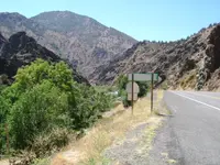
- Surprise Valley / Barrel Springs Back Country BywayCedarville · BLM back country bywayThis 93-mile loop begins and ends in Cedarville, California, and like other BLM back country byways it transports visitors through both space and time.
- Tioga Road/Big Oak Flat Road Scenic BywayYosemite Village · National parkTioga Road (continuation of Highway 120 through the park)
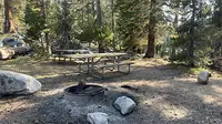
- Trinity Heritage National Scenic BywayWeaverville · Scenic drivesTrinity Heritage Scenic Byway follows Highway 3 south from Montague in Siskiyou County through the Scott River Valley and enters Trinity County over the Scott Mountain Summit, north of Weaverville. The Oregon-California Trade Route. Also known as the Siskiyou-Trinity Scenic Byway. Features travel through the Trinity Alps to Trinity Lake, with a loop through Lewiston before continuing on to Weaverville, then south through Hayfork to the end of the highway at its junction with Highway 36.
- Wild Horse Canyon Scenic Backcountry BywayEssex · Wild horse canyon roadsJust north of the junction of Black Canyon and the south end of Wild Horse Canyon Roads, rhyolite cliffs riddled with holes and hollows are the backdrop for Hole-in-the-Wall.
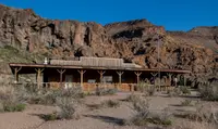
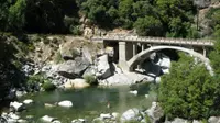
- Yuba-Donner Scenic BywayTruckee · Scenic bywayThis Scenic Byway makes a 160-mile driving loop route through the Sierra foothills and mountains west and east of the Sierra Crest, highlighting small communities located north of I-80, including Nevada City, Downieville, Sierra City, Sierraville and Truckee.
Scenic Drives in all eleven states; next door in Oregon and Arizona.