Scenic drives and byways in New Mexico
Scenic drives and byways in New Mexico, each compiled from its own sources: length, season, road surface, and the towns on it. No ratings; every entry carries its status.
Point at a dot to see the place.Tap a dot to see the place. Road map of New Mexico.
- Chain of Craters Back Country BywayGrants · 33-mile backcountry bywayCounty Road 42, a 33-mile dirt byway in Cibola County, New Mexico, running past a line of more than 25 cinder cones along the west edge of El Malpais.
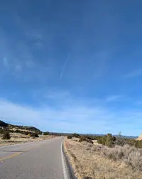
- Enchanted Circle Scenic BywayTaos · National forest scenic bywayAn 84-mile loop of four highways out of Taos around Wheeler Peak, New Mexico's highest mountain, past the nation's first memorial to Vietnam War veterans.
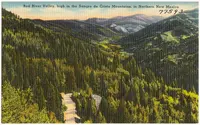
- Geronimo Trail Scenic BywayTruth or Consequences · National scenic bywayA National Scenic Byway out of Truth or Consequences, New Mexico, forking west over Emory Pass and north past silver-boom towns to the forest camp at Beaverhead.

- High Road to Taos Scenic BywayChimayó · Scenic bywayThe High Road to Taos, a 105-mile state scenic byway through the Sangre de Cristo villages between Santa Fe and Ranchos de Taos, passes the healing-earth chapel at Chimayó.
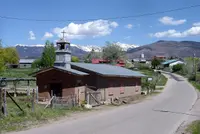
- Turquoise Trail National Scenic BywayMadrid · National scenic bywayAbout 50 miles along Highway 14 between Santa Fe and Albuquerque, with a view from atop Sandia Crest and the mining towns of Golden, Madrid, and Cerrillos.

Scenic Drives in all eleven states; next door in Colorado, Utah, and Arizona.