Scenic drives and byways in Utah
Scenic drives and byways in Utah, each compiled from its own sources: length, season, road surface, and the towns on it. No ratings; every entry carries its status.
Point at a dot to see the place.Tap a dot to see the place. Road map of Utah.
- Energy Loop Scenic BywayFairview · National scenic bywayA forked national scenic byway out of Fairview, Utah, that climbs the Wasatch Plateau past coal mines, a power plant, and the reservoir where a mammoth surfaced in 1988.
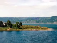
- Flaming Gorge-Uintas Scenic BywayManila · National scenic bywayA national scenic byway climbing from Vernal over the Uinta Mountains' eastern flank to Manila and Flaming Gorge Dam, its roadside signs marking rock formations nearly every hundred yards.
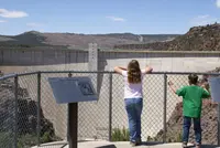
- Scenic Byway 12Escalante · All-american roadA 120-mile All-American Road in southern Utah connecting Bryce Canyon National Park, Grand Staircase-Escalante National Monument, and Capitol Reef National Park.
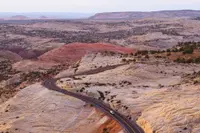
- Smithsonian Butte National Back Country BywayRockville · Back country bywayA 9.25-mile Back Country Byway between Rockville and Apple Valley, Utah, just south of Zion National Park. Carries visitors from the Virgin River floodplain, through pinyon-juniper woodlands, to sagebrush desert at the Big Plain Junction of Highway 59.
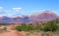
- Utah's Patchwork Parkway Scenic BywayParowan to Panguitch · National scenic byway (s.r. 143)Every bend in the road brings into vision a new patch of scenery from colorful rocky cliffs and spires, alpine forests, lush meadows with rambling streams, crystal blue lakes and an unexpected splash of lava fields amidst the towering aspen trees.
Scenic Drives in all eleven states; next door in Idaho, Wyoming, Colorado, New Mexico, and Arizona.