Scenic drives and byways in Montana
Scenic drives and byways in Montana, each compiled from its own sources: length, season, road surface, and the towns on it. No ratings; every entry carries its status.
Point at a dot to see the place.Tap a dot to see the place. Road map of Montana.
- Beartooth HighwayRed Lodge · RoadThe 68-mile Beartooth Highway climbs from Red Lodge, Montana, over a 10,947-foot pass to Yellowstone's northeast entrance, cut in the 1930s by men earning 50 to 75 cents an hour.
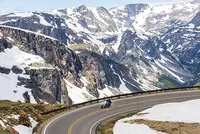
- Big Sheep Creek Back Country BywayDell · Scenic highwayA 50-mile BLM gravel byway west of Dell, Montana, through Big Sheep Canyon and the Tendoy Mountains, where spring-fed trout pools show from the car window.
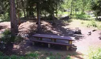
- Big Sky Back Country BywayTerry · BLM bywayA paved Bureau of Land Management route of 105 miles from Terry to Wolf Point, Montana, joining the Yellowstone and Missouri rivers along the old Regina-Yellowstone Trail.
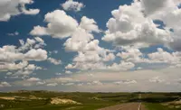
- Garnet Back Country BywayBack country bywayA steep mountain road through Montana's Garnet Range to Garnet, an 1890s gold camp whose false-front stores and log cabins the BLM has stabilized since 1972.
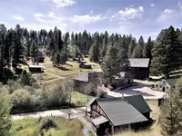
- Kings Hill Scenic BywayNeihart · Scenic bywayThe Little Belts Geographic Area is bisected north-south by the Kings Hill scenic byway on US Highway 89, along which Neihart and Monarch reside.
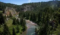
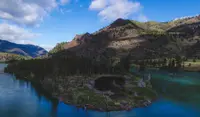
- Lake Koocanusa Scenic BywayLibby · Scenic highwayA scenic byway that follows the Kootenai River and Lake Koocanusa between Libby and Eureka, Montana, open year-round. Created in 1992 as the Northern Region's 5th scenic byway.
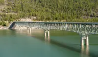
- Missouri Breaks Back Country BywayLewistown · National back country bywayThe Missouri Breaks National Back Country Byway traverses one of the most geologically unique and historically significant areas in Montana. The Wild and Scenic River from Fort Benton downstream to the James Kipp Recreation Area is the foremost component of the Lewis & Clark National Historic Trail.
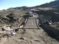
- Pintler Veterans' Memorial Scenic HighwayAnaconda · Statutory memorial scenic highway on montana highway 1This 64-mile drive goes from Anaconda, one of Montana's most historic towns, to Georgetown Lake, Philipsburg and ends in Drummond. The road travels through both conifer-clad mountains and sage-covered hills following the Flint Creek and is a wonderful alternative to Interstate 90 when traveling between Butte and Missoula.
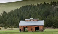
- Pioneer Mountains Scenic BywayWise River · Scenic highwayOn the Pioneer Mountains Scenic Byway in the Beaverhead-Deerlodge National Forest, you can travel the length of the Pioneer Mountain Range. Granite peaks topping 10,000 feet in elevation are to the east, and gentler, forested terrain stretches out to the west.
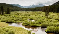
- St. Regis-Paradise Scenic BywaySt. Regis · Scenic bywayAn alternate route for Interstate 90 travelers to Glacier National Park and Flathead Lake, crossing rolling flats and steep canyon walls.
Scenic Drives in all eleven states; next door in Idaho and Wyoming.