Missouri Breaks Back Country Byway
Lewistown, Fergus County, Montana. National back country byway.
Details

- Where
- Lewistown, Fergus County, MT. No street address stated. Directions
- Getting there
- Northern route from Winifred: D-Y Trail gravel road 42.6 miles northeast, then southeast on Lower Two Calf Road/Two Calf Trail 22.3 miles to Knox Ridge Road, then east 5.8 miles to U.S. Highway 191/James Kipp Recreation Area.
- Access
- The byway is unpaved and many sections are recommended for high clearance vehicles (4x4) only; not recommended after heavy rains, during winter months or snowy conditions, or periods of heavy spring runoff.
- Walk-in or reserve
- No reservations; does not offer reservations through Recreation.gov.
- Phone
- 406-622-4000
- Website
- visitmt.com
- Managed by
- Bureau of Land Management.
- Established
- 1976.
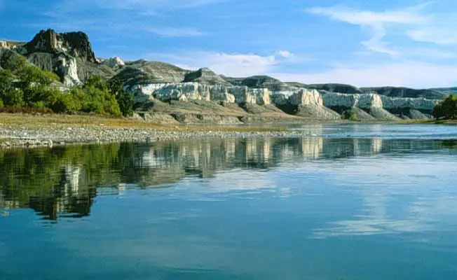
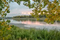
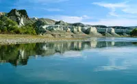
The Missouri Breaks National Back Country Byway traverses one of the most geologically unique and historically significant areas in Montana. The Wild and Scenic River from Fort Benton downstream to the James Kipp Recreation Area is the foremost component of the Lewis & Clark National Historic Trail.
Notable Events
- 1805Lewis and Clark spent three weeks exploring the segment now designated the Upper Missouri National Wild & Scenic River. blm.gov
- 1976The byway was designated to preserve the values along the route. visitmt.com
People
- Captain Clark, Explorer who described the badlands (May 24 through June 13, 1805).
- Captain Lewis, Explorer who described the White Cliffs (May 24 through June 13, 1805).
Sources
- recreation.gov/camping/poi/10407030
- visitmt.com/listing/missouri-breaks-back-country-byway-891
- blm.gov/press-release/blm-completes-middle-two-calf-road-reconstruction-reopens-public-traffic
- blm.gov/programs/national-conservation-lands/montana-dakotas/upper-missouri-river-breaks/plan
- blm.gov/programs/national-conservation-lands/montana-dakotas/upper-missouri-river-breaks/explore