
.jpg)
.jpg)
.jpg)
Big Sky Back Country Byway
Terry, Prairie County, Montana. BLM Byway; Year round.
Details

- Where
- Terry, Prairie County, MT. No street address stated. Directions
- Getting there
- From Terry, travel north on Hwy 253. Turn right on Hwy 200 to Circle, then continue north on Hwy 13 to Wolf Point. The entire route is now a paved highway.
- Access
- The entire route is well marked with directional signs and is approximately 105 miles long on state highways 253, 200 and 13, on all-weather surface.
- Phone
- (406) 233-2800
- Website
- blm.gov
- Managed by
- Bureau of Land Management.
- Coordinates
- 46.79242000000000, -105.31225000000001.
At the Terry exit off Interstate 94, number 176, a kiosk stands on the west side of the road outside 4-Corners Convenience. It sits on a small parcel given by Allen and Brooke Gierke, and the Bureau of Land Management built it for an estimated $20,000. Its panels now carry local tourism notices, kept current by the Prairie County Economic Development Council. The route it was built to announce, the Big Sky Back Country Byway, is no longer described there. Portal signs mark where the byway begins.
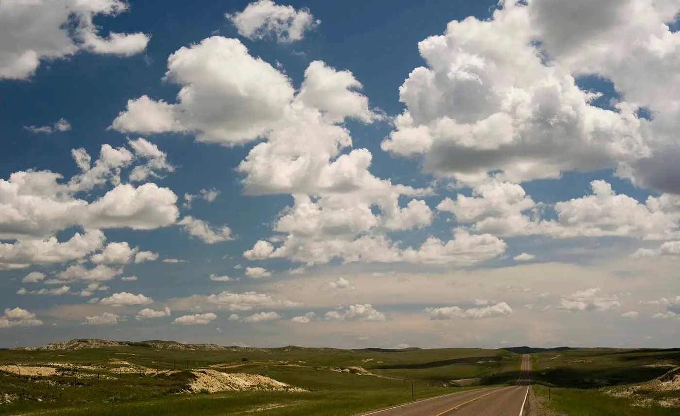
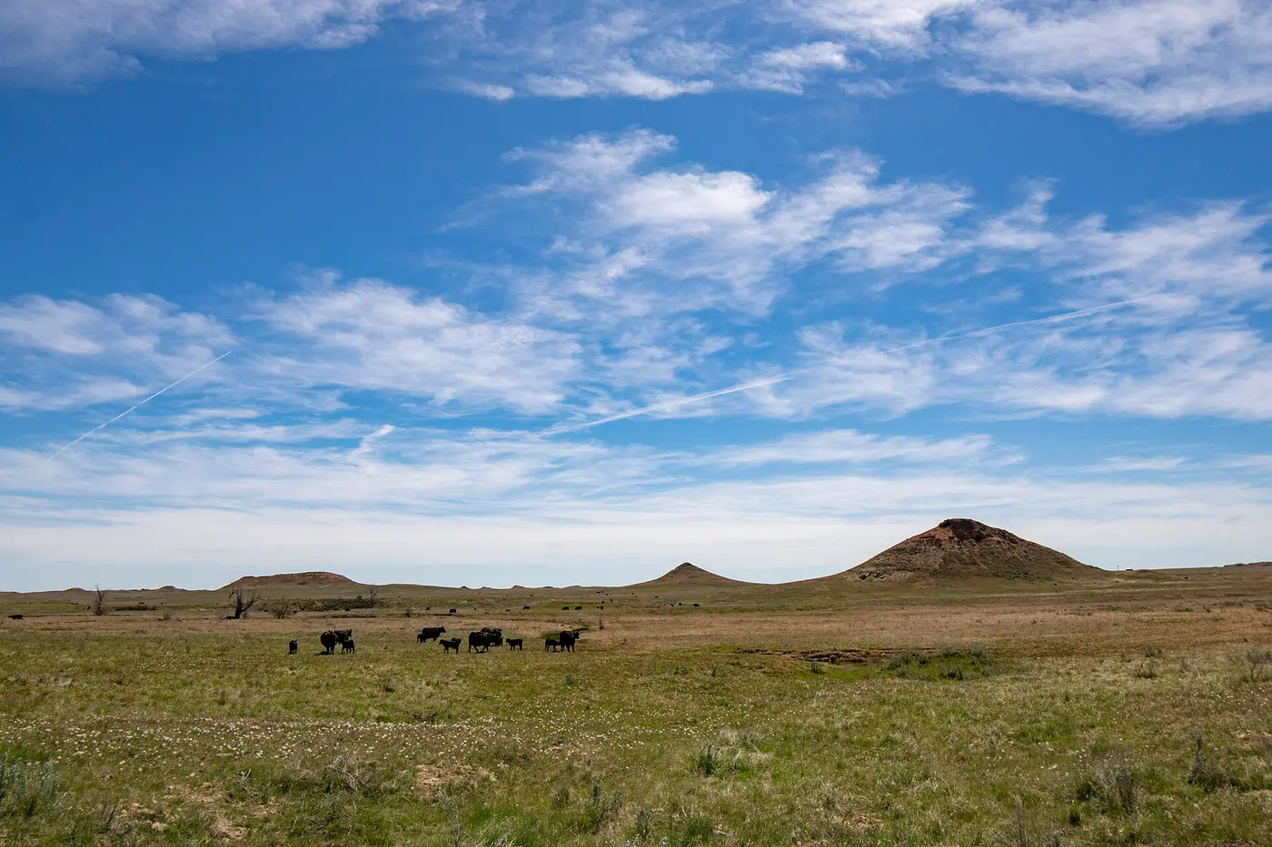
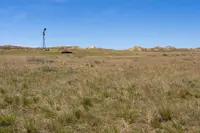
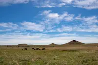
From Terry the byway runs 105 miles north to Wolf Point. It goes north on Highway 253, turns right on Highway 200 to Circle, then follows Highway 13 north to the Missouri River. The whole route is paved and well marked with directional signs, and it is open year-round. The BLM puts the drive at two hours one way, and another listing allows two to three hours, more with stops. Along the way the country passes from dry land farming to rolling prairie grassland, scoria buttes, and badlands. The BLM’s Miles City Field Office manages the byway and lists non-developed campgrounds on its lands, with dispersed camping in some areas. The name comes from the expanses of land and sky that earned Montana its nickname.
Clinker and badlands above the Yellowstone
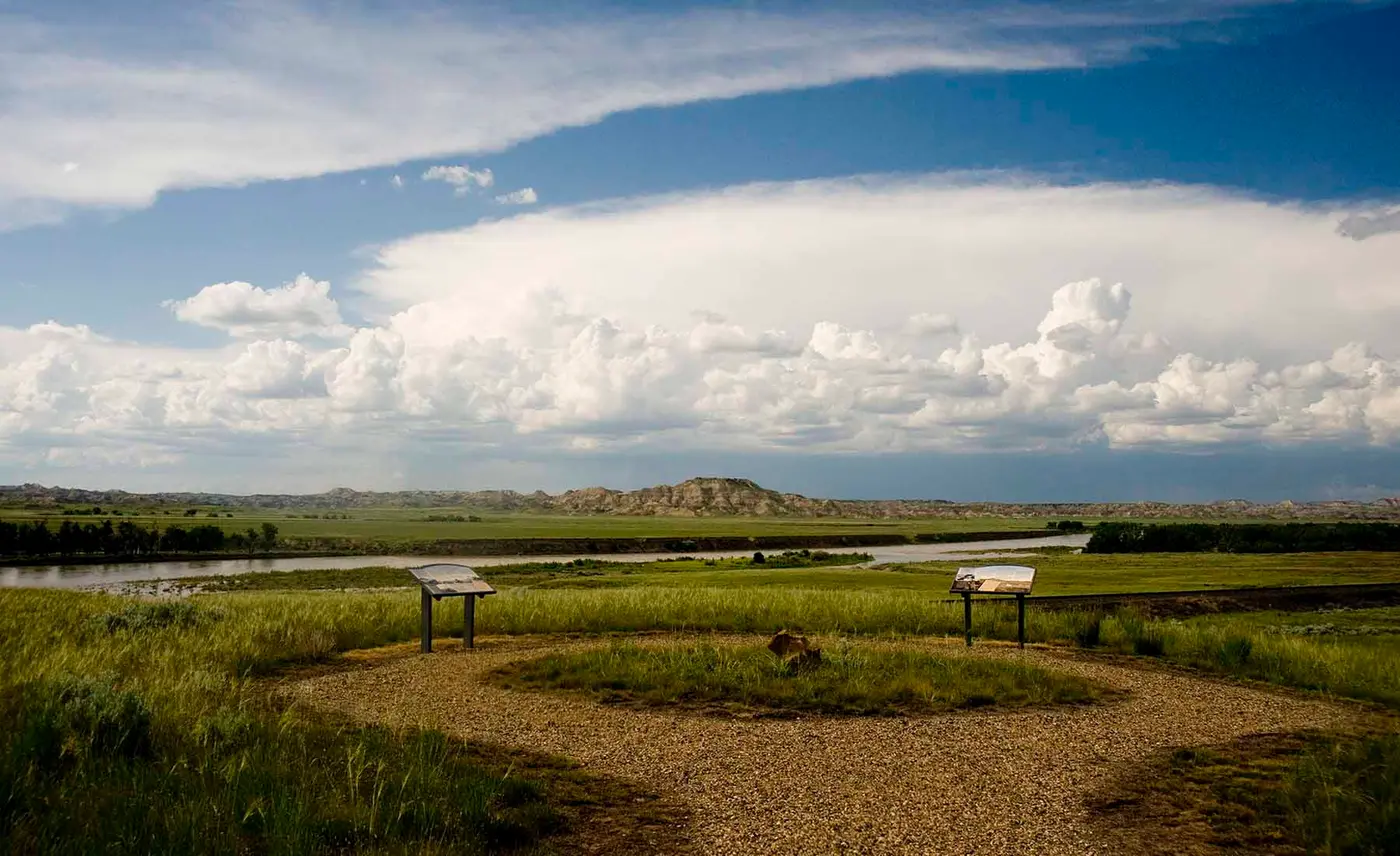
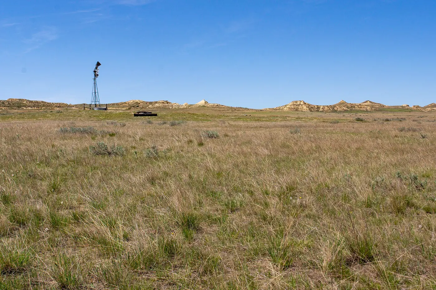
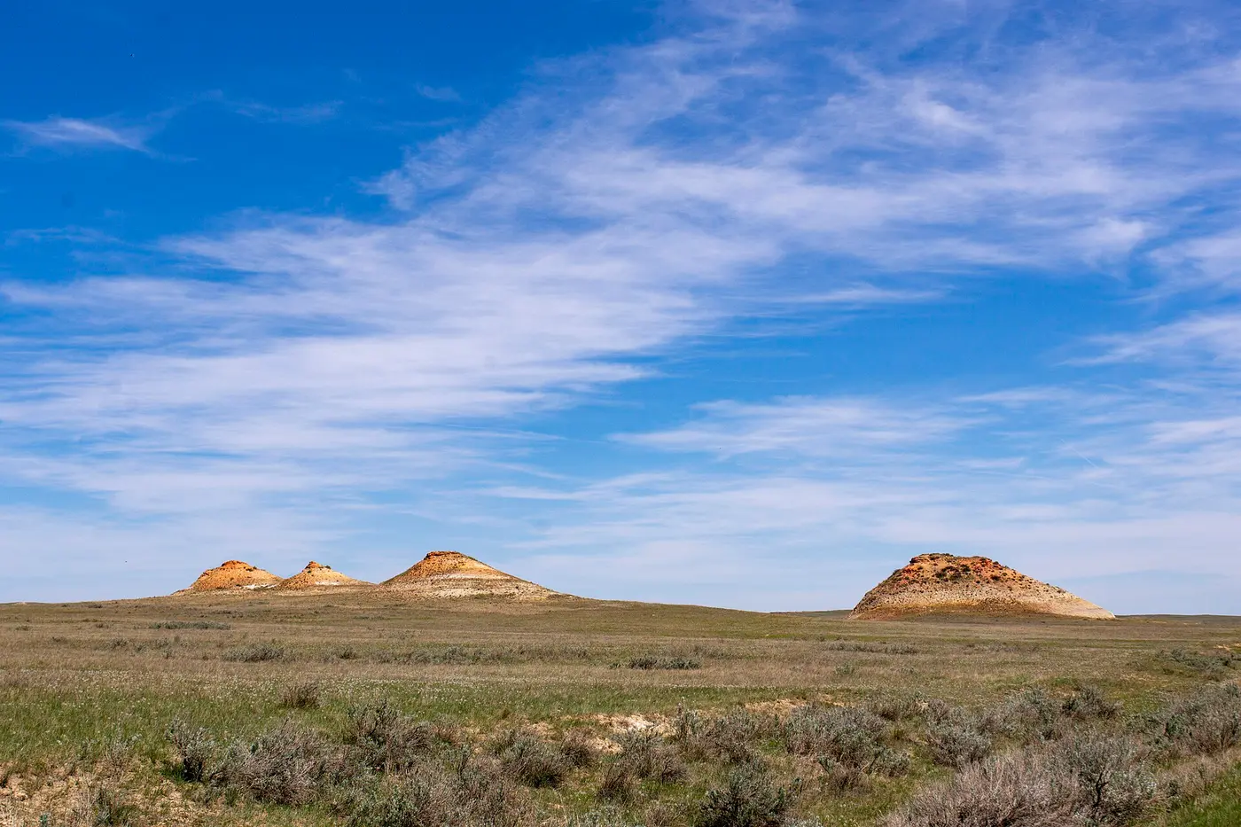
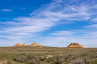
North of Terry, Highway 253 crosses the Yellowstone. About 2½ miles farther on, Scenic View Road, a dirt road, turns west. It runs about 6 miles to the Terry Scenic View, an overlook on the edge of the Terry Badlands Wilderness Study Area. The BLM describes colorful, banded cliffs over rolling prairie, with sandstone bridges, spires, table tops, and buttes divided by many deep gullies, all formed by thousands of years of wind and water erosion. Grasses, wildflowers, sage, yucca, greasewood, and scattered juniper grow on the benches, along with one of the most easterly stands of limber pine. Mule and whitetail deer, pronghorn, elk, badgers, raptors, and horned lizards live there, and petrified logs may be encountered. There are no designated parking areas. The BLM asks visitors to pull over only where it is safe and not to drive off road.
There was a second way in. It crossed a one-lane bridge over the Yellowstone that once served the Milwaukee Railroad and led to the start of the Calypso Trail. That way is closed: the Montana Department of Transportation shut the bridge when its deck could no longer be relied on to carry traffic.
The bright, resistant rock around Terry is mapped by the Montana Bureau of Mines and Geology as clinker. It is sandstone, siltstone, and shale of the Fort Union Formation, baked red, pink, orange, black, and yellow when an underlying coal bed burned. In places the baked rock melted and fused into buchite, a black, glassy, vesicular or scoriaceous rock. Near Terry, visitors fish and hunt along the Yellowstone and collect moss agate.
North through Circle to the Missouri
At Circle a second kiosk stands at the McCone County Museum. It still holds the original Big Sky Back Country Byway signage. The Circle area is known for big game hunting, and the county’s west-northwest portion is known for paleontological research.
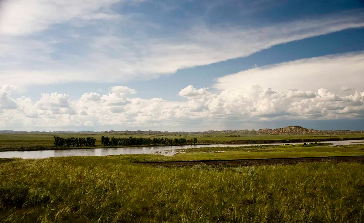
The northern segment reaches the Missouri, with fishing on the river and a view of the Lewis and Clark Bridge. Coming from the north, travelers turn south on secondary Highway 13 just east of Wolf Point. The portal sign and the third kiosk, owned by Montana Fish, Wildlife and Parks, stand just before the river crossing. At Wolf Point the Missouri is part of the Lewis and Clark National Historic Trail. By the city’s account, the expedition passed through the area in early May 1805.
The R-Y Trail and a golden ribbon
In the early 1900s, Canadians often came through Terry on the Regina–Yellowstone Highway, better known as the R-Y Trail, on their way to Yellowstone National Park. A brochure from about a century before 2025 promoted it as the “shortest and best road between the Canadian prairies and Yellowstone National Park.”
In 2000 the BLM worked with local officials to designate this segment as a byway. Prairie County Commissioner Todd Devlin described how it came about in the Terry Tribune. “There are a lot of coincidences in this project,” he said. Ladd Coates, outdoor recreation planner for the BLM’s Miles City office, brought the idea to the Prairie County Commission. At the same time, the Montana Department of Transportation named the unpaved stretch of Highway 253 between Terry and Brockway the first in a batch of proposed secondary road improvements. The 16 counties of the department’s Eastern District voted unanimously to make it their top priority. “Everybody’s a winner as far as I’m concerned — the residents, the tourists, byway visitors,” Devlin said.
The byway was dedicated on July 28, 2000, under the National Scenic Byways Program administered by the BLM. Norma Grist, then director of the Prairie County Chamber of Commerce, cut the golden ribbon on the Terry kiosk with Devlin and Tim Murphy, then BLM field manager at Miles City. Mat Millenbach, a BLM state director at the time, gave a speech naming three benefits of the byway: seeing backcountry by wheeled vehicle, getting people off the interstate, and reminding them of their heritage. The Tribune of August 2, 2000, reported him saying, “(Byways) give people a reason to get off I-94 and into the community. We can’t solve world problems with tourism, but it can sure help.” Mark Jacobsen, a BLM public affairs specialist, later explained the route’s classification as a Type 1 byway: all three segments are secondary state roads that ordinary touring cars can drive year-round.
The BLM later gave the three kiosks to local and state owners. Lance Kalfell, director of the Prairie County Economic Development Council, told the Tribune in 2025 that the council had been offered the Terry kiosk roughly ten years earlier. “Instead of tearing them out, (the BLM) offered them up to us for our purposes,” he said. “I would call it a collaborative effort; they had to do something with them and we could do something with them.” That same 2025 article reported that the transportation department planned rehabilitation work on Highway 253 to begin sometime in 2026. Jacobsen called the open country a time machine of sorts, offering “a glimpse of what it was like in the days when the vast herds of bison — and the people who followed them — called this range theirs.”
Steamboats, stages, and wolves
Among the historical resources the BLM lists in the Terry Badlands is graffiti left by U.S. Army troops on Sheridan Butte in the 1800s. Down on the Yellowstone, Captain William Clark’s party camped on July 30, 1806, under a large cottonwood on the left bank. The camp was a mile and a half below the mouth of the Powder River, and Clark was on his way to rejoin Lewis.
Seventy years later, on June 7, 1876, the Terry Supply Station was set up to supply military operations in the area. Captain Marsh brought its stores up from Stanley’s Stockade at Glendive on the steamer Far West. Private George of the 7th Cavalry had been badly shot on Reno’s Hill during the Battle of the Little Big Horn. He died aboard the Far West on July 3, 1876, and was buried by the river bank.
The Powder River Stage Station served the Fort Keogh–Bismarck coach route from 1878 until 1883, when the railroad took over travel to Miles City. In 1907 and 1908 crews built the 225-mile eastern Montana section of the Milwaukee Railroad, which crossed the Yellowstone three times between Terry and Miles City. Terry’s landmarks also include the home of pioneer photographer Evelyn Cameron and a Warren through truss bridge built in 1944. At 1,142 feet, it is Montana’s longest.
At the north end, the city of Wolf Point says the origin of its name is hard to verify. The missionary Lydia A. Fitch wrote in her journal of 1875–1876 that the town took its name from Wolf Creek, which emptied into the Missouri nearby. Another story holds that steamboats approaching the high ground on the river saw a hill shaped like a wolf.
The most popular account comes from William Bent, a nephew of Kit Carson, who hunted wolves there in the winter of 1868–1869. Bent told that “one winter the wolfers killed such a large number of wolves that they froze before the skins could be removed. The frozen carcasses were piled near the river to wait the coming of spring and the pile was so high, it became a landmark for all the country around.”
Notable Events
- 1800sAmong the historical resources the BLM lists in the Terry Badlands the byway looks across are 1800s era U.S. Army troops graffiti on Sheridan Butte. blm.gov
- 1806Captain William Clark's party of the Lewis and Clark Expedition camped one-and-a-half miles below where the Powder River runs into the Yellowstone River, on the left bank under a large cottonwood tree, on his way to rejoin Lewis at the mouth of the Yellowstone. nps.gov
- 1876The Terry Supply Station was established to supply military operations in the area, with supplies transferred from Stanley's Stockade at Glendive by Captain Marsh on the steamer Far West. nps.gov
- 1878The Powder River Stage Station was one of the stops on the Fort Keogh-Bismarck stage coach route until the railroad became the primary means of transportation to Miles City. nps.gov
- 1907Work took place from 1907 to 1908 on the 225-mile eastern Montana section of the Milwaukee Railroad, which crossed the Yellowstone River three times between Terry and Miles City. nps.gov
- 1944Terry's landmarks include a national registered landmark Warren through truss bridge, Montana's longest at 1,142 feet, built in 1944. nps.gov
- 2000The Big Sky Back Country Byway was officially dedicated on July 28, 2000 as part of the National Scenic Byways Program administered by the BLM. terrytribune.com
- 2000Local officials cut the golden ribbon on an estimated $20,000 kiosk built and installed by the BLM to display information about the byway and other Prairie County attractions. terrytribune.com
- The Prairie County Economic Development Council was offered the Terry kiosk instead of having it torn out, and it still manages the kiosk and keeps its signs up to date with local tourism information. terrytribune.com
People
- Lydia A. Fitch, Missionary whose journal gives the other account of the north end name, that Wolf Point was named for Wolf Creek emptying into the Missouri nearby (journal of 1875-1876).
- William Bent, Nephew of Kit Carson whose winter wolf hunt is handed down as the most popular story of how Wolf Point, the byway's north end, was named (winter of 1868-1869).
- Allen Gierke, With Brooke Gierke, donor of the small parcel of land on which the byway's Terry kiosk still stands.
- Brooke Gierke, With Allen Gierke, donor of the land on which the byway's Terry kiosk stands.
- Ladd Coates, BLM Miles City office's outdoor recreation planner who approached the Prairie County Commission about the Big Sky Back Country Byway.
- Lance Kalfell, Local resident and director of the Prairie County Economic Development Council, the organization that took on the byway's Terry kiosk and keeps its signs current.
- Mark Jacobsen, BLM public affairs and media relations specialist who described the byway's three road segments as secondary state roads classified as a Type 1 byway.
- Mat Millenbach, BLM state director at the time who delivered a speech at the dedication about the byway's benefits.
- Norma Grist, then-director of the Prairie County Chamber of Commerce who cut the golden ribbon dedicating the byway's Terry kiosk.
- Tim Murphy, then BLM Miles City field manager who cut the golden ribbon at the dedication.
- Todd Devlin, Prairie County commissioner who cut the golden ribbon at the dedication and described how the byway came to fruition.
Sources
- recreation.gov/camping/gateways/16597
- visitmt.com/listing/big-sky-back-country-byway-15808
- southeastmontana.com/big-sky-backcountry-byway
- nsbfoundation.com/sb/big-sky-back-country-byway
- blm.gov/visit/big-sky-byway
- blm.gov/programs/national-conservation-lands/montana-dakotas/terry-badlands-wsa
- mbmg.mtech.edu/pdf_100k/terry-text.pdf
- nps.gov/places/captain-clark-s-camp.htm
- ci.wolf-point.mt.us/community/page/history-wolf-point
- terrytribune.com/news/a-byway-through-time-highway-253-lives-on-as-scenic-tourism-route-through-eastern-montana/article_e637cac4-0425-11f0-a553-8b599e460827.html