Big Sheep Creek Back Country Byway
Dell, Beaverhead County, Montana. Scenic highway; May through early October.
Details

- Where
- Dell, Beaverhead County, MT. No street address stated. Directions
- Getting there
- Take I-15 to Dell, then south on the frontage road 1.5 miles; turn right onto Big Sheep Creek Road. The byway starts west of Dell, 24 miles north of the Montana-Idaho state line.
- Fees
- No Fee.
- Access
- 50-mile two-lane gravel road with a short stretch of one-lane dirt surface; safely driven May through early October.
- Phone
- 406-683-8000
- Website
- blm.gov
- Managed by
- Bureau of Land Management, Dillon Field Office.
- Established
- 1989.
At the Dell interchange on Interstate 15, 24 miles north of the Idaho line, the Tendoy Mountains rise to the west in a wall that the Bureau of Land Management says “may look impenetrable.” A frontage road runs south from the exit to Big Sheep Creek Road. The BLM puts the distance at about 2 miles and Visit Montana at 1.5. The byway begins at that turn and enters a narrow gorge on the southern edge of the range.
Gravel, gates, and Deadwood
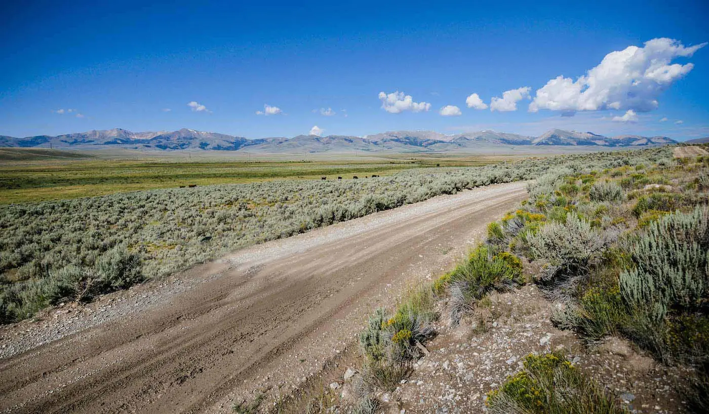
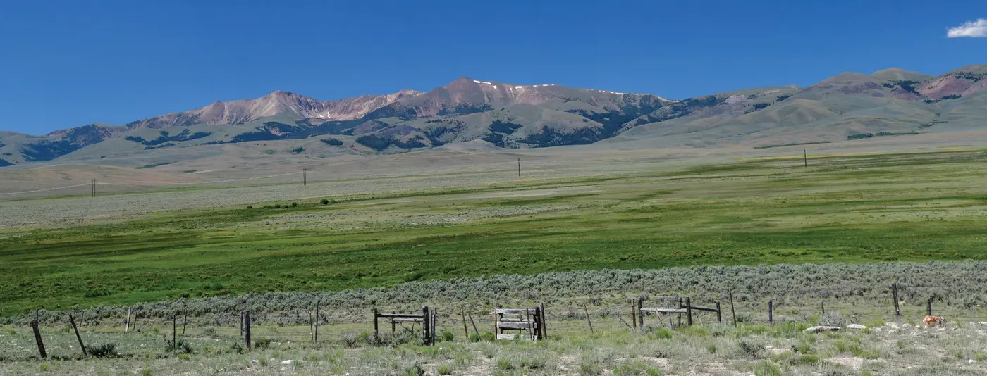
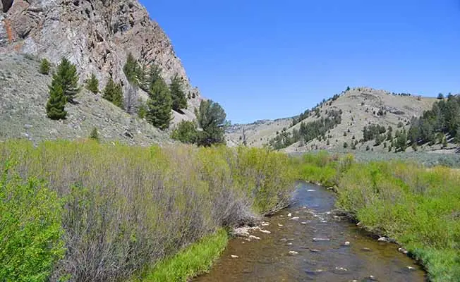
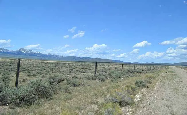
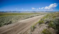
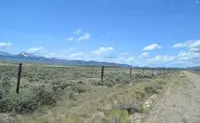
The route covers a little more than 50 miles of two-lane gravel, with a short stretch of one-lane dirt. It loops through three landscapes: the rocky walls of Big Sheep Canyon, a broad valley framed by mountains along the Continental Divide, and farther north the Medicine Lodge valley, where a creek meanders beneath the peak that gives the valley its name. The drive takes about three hours. The BLM suggests two or three days for anyone who wants to fish, hike, or watch wildlife. Visit Montana says the road can be driven safely from May through early October. The BLM calls it usually passable for all vehicles in summer and warns that portions are impassable when wet. Fences cross the route, and travelers are asked to shut each gate behind them. Visit Montana reports that once past the canyons a driver may meet only two or three cars on the whole route.
There are no services and no potable water along the byway. On fuel the sources differ. The BLM page lists gasoline as available along the route but advises planning fuel stops in advance. Jeff Erickson, writing in Big Sky Journal in summer 2023, describes the drive as having no stores, gas stations, or subdivisions.
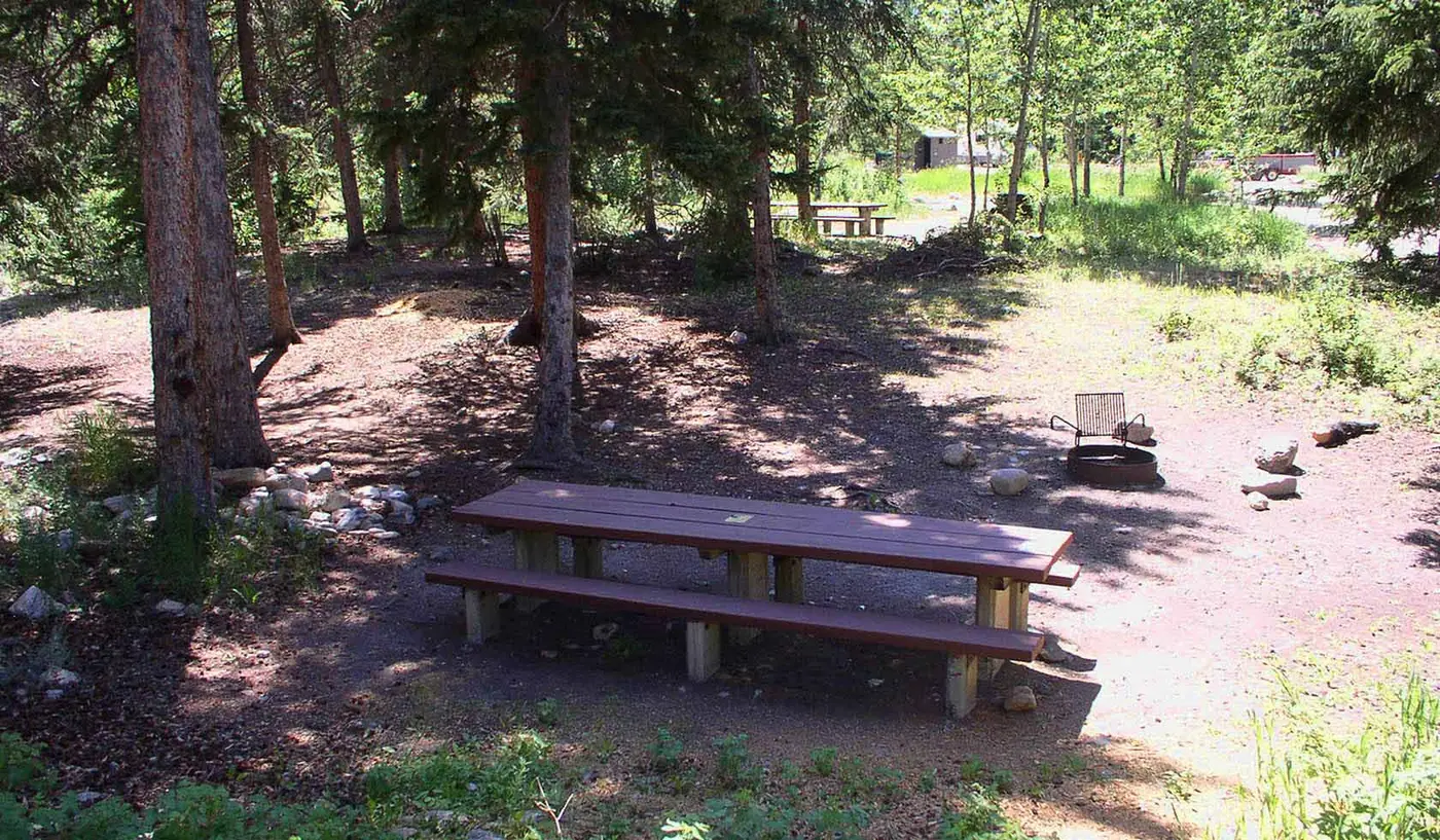
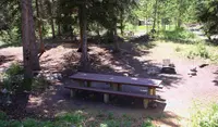
Ten miles in by the BLM’s directions, about 14 miles southwest of Dell by its own count, is Deadwood Campground. It has several sites with picnic tables, campfire rings, and a vault toilet. From the campground the byway runs nearly 12 miles to Medicine Lodge Road, then turns north for roughly 30 miles to Highway 324, just west of Clark Canyon Reservoir. Travelers starting from the north begin at the Medicine Lodge Road marker and take the stops in reverse.
Water out of the limestone
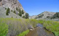
The Tendoy Range here rises to 9,674 feet at Dixon Mountain. To the south and west, the Beaverhead Range climbs above 11,000 feet and separates Montana from Idaho. Beverly Magley, in her guide Montana Backroads, describes the canyon walls: “Convoluted, twisted rocks show the folding and faulting and warping of these Paleozoic and Mesozoic formations. Hoodoos, sheer cliffs, arches, and window rocks decorate the limestone walls.” The creek is older than the range’s present shape. A 1948 account by Krusekopf states that “Sheep Creek is an antecedent stream, and occupied its present position through the Tendoy Range prior to mid-Tertiary block faulting.” The Red Rock fault, the major late-stage fault along the valley east of the range, lifted the Tendoys to their present position.
From the road the driver looks down into the creek’s clear, deep, spring-fed pools. “Perhaps nowhere else in America,” the Visit Montana listing says, “can one see so many trout without leaving the car.” Rob Thomas, a geology professor at the University of Montana Western and co-author of Roadside Geology of Montana, fishes the creek. He says, “Geology completely controls the type of trout in Big Sheep.” The swifter canyon water yields mostly rainbows. The slower reach around Muddy Creek can give up good-sized cutthroat. The springs draw on porous Madison limestone. Thomas says much of that water “is ancestral water from the late Pleistocene, 9,000 to 10,000 years ago,” and that it comes out at around 50 degrees Fahrenheit. Beds of watercress sway in it, and scuds live among them. Trout there frequently grow 15 to 20 inches long. When Lewis and Clark came up the Missouri basin, streams like this one held westslope cutthroat, Arctic grayling, and mountain whitefish. The grayling are now largely gone, and introduced brown and rainbow trout have joined the mix.
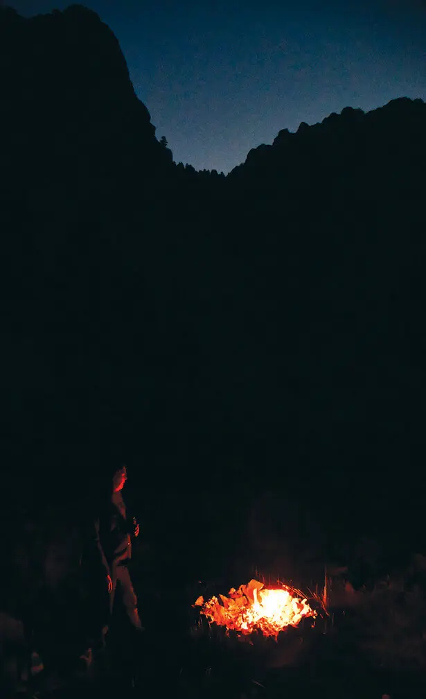
The canyon cliffs are cut with fissures, caves, and overhangs. Erickson and his wife, Mary, camped beside the creek beneath them and watched swallows working the stream at dusk. Bats in Montana have declined steeply from a fungus that spreads through their roosts. As the light left the limestone towers, Erickson saw none at first. Then he pointed and told Mary, “Look, there they are!” Several bats were circling in the twilight.
Sagebrush, needle-and-thread, and June grass cover the slopes. Willows and western blue flag grow along the lower water, and Douglas fir stands on the north-facing limestone ridges. Highs average about 80 degrees in July and August. Erickson lists pronghorn running the broad valleys, elk at the forest edges, golden eagles on thermals, sage grouse on their strutting grounds, and sandhill cranes. Visit Montana says bighorn sheep and deer are a common sight in the evenings. Erickson reports that the native bighorns, which appear in Indigenous pictographs, were decimated in recent decades, likely by pneumonia-related illness carried from domestic sheep. In 2021 Montana Fish, Wildlife & Parks moved 26 wild sheep to the Tendoys from Wild Horse Island State Park. The goal is to release 60 animals and build a population of around 150. “We’re excited to once again have bighorn sheep in the Tendoys,” said Jesse Newby, the agency’s Dillon-area wildlife biologist.
A chief’s name and a freight road
The range takes its name from Chief Tendoy, who led the Lemhi Shoshone band from 1863 until his death in 1907. During those years gold miners pushed into Native land and settlers homesteaded, laid rails, and founded towns. Erickson writes that this corner of Montana was never the undisputed ground of one people. It was a crossroads astride the Continental Divide, used by groups traveling to and from the buffalo prairies to the east. Bannock, Crow, Nez Perce, and Blackfeet people used it, as well as the Shoshone.
About midway through the drive, traveling clockwise, the byway crests a divide and drops into the broad headwaters of Medicine Lodge Creek. This stretch follows the Old Bannack Road, built in 1862 for freight teams hauling supplies between Corinne, Utah, and the gold camp at Bannack, Montana. Medicine Lodge Creek runs north toward Horse Prairie Creek and Clark Canyon Reservoir and joins them near Camp Fortunate. Lewis and Clark spent their last days in the upper Missouri basin there in August 1805. On August 17 of that year, at Camp Fortunate, Sacagawea was reunited with her brother, Chief Cameahwait, five years after the Hidatsa had taken her. Clark wrote that she “made signs to me that they were her nation” and “danced for the joyful Sight.” Lewis wrote, “the meeting of those people was really affecting.” The expedition got from Cameahwait the horses it needed to cross the Divide. The traces of the camp now lie under the reservoir.
In 1989 the BLM designated the road a Type I Back Country Byway. The type of designation has not changed since then, and the Dillon Field Office manages the route. It passes through public land and through multigenerational ranches where, Erickson writes, cowboys still ride herd.
Hearths in the cut bank
Beaverhead County owns the road itself, but much of the land it crosses is BLM ground. When county crews widened Big Sheep Creek Road, they cut back the adjacent slopes to give motorists better visibility. Mark A. Carper’s 2004 University of Montana thesis gives two dates for the work: 2001 in its abstract and 2002 in its introduction. The cuts exposed burned features in the bank. Mark Sant, an archaeologist at the BLM’s Dillon office, found charcoal-flecked, sooty features in the fresh cut bank and identified six of them. He photographed them and marked their locations. Because he feared erosion would destroy them, Carper was contracted to excavate them under the BLM and the University. Most proved to be fire hearths.
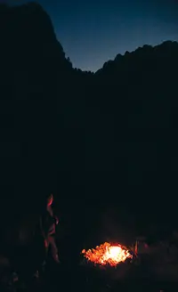
The site lies on a slight alluvial terrace on the southern slopes of the Tendoys, where intermittent Hidden Pasture Creek meets Big Sheep Creek. Carbon dates show people camped there periodically from 2230±40 to 1330±40 years before present. They used sheep and antelope. Their stone work was likely dominated by tool production, with some flaking of the quartzite cobbles found close at hand.
The road follows the line between two kinds of ground. To the north are large boulders, possibly outwash from the mid-Tertiary. To the south, toward the creek, lie flat beds of sand and silt left by later floods, the more likely ground for a camp. The county’s fill has jumbled the creek-side flank. By Carper’s account, the only intact remnant of the old camp lies along the road’s north edge, in broken strips 1 to 5 meters wide.
Notable Events
- 1862The route segment through the Medicine Lodge Creek headwaters follows the Old Bannack Road, built for freight teams carrying supplies between Corinne, Utah, and Bannack, Montana. bigskyjournal.com
- 1989The Big Sheep Creek route was established as a Type I BLM Back Country Byway. blm.gov
- 2001County road widening inadvertently exposed six thermal features along Big Sheep Creek Road in Beaverhead County near Dell, Montana, according to the thesis abstract. scholarworks.umt.edu
People
- Chief Tendoy, Namesake of the Tendoy Mountains and leader of the Lemhi Shoshone band (1863–1907).
- Mark A. Carper, Contracted to excavate the exposed thermal features before erosion, under the auspices of the BLM Dillon Office and the University of Montana.
- Mark Sant, BLM archaeologist who first identified the roadside Big Sheep Creek site from charcoal-flecked and sooty features exposed in the newly widened road's cut bank.
Sources
- blm.gov/visit/big-sheep-creek-back-country-byway
- bigskyjournal.com/exploring-big-sheep-creek-byway
- visitmt.com/listing/big-sheep-creek-backcountry-byway-894
- mbmg.mtech.edu/pdf-open-files/mbmg520-dell.pdf
- scholarworks.umt.edu/cgi/viewcontent.cgi?article=3306&context=etd
- sciencedirect.com/science/article/abs/pii/S0191814196000442
- bigskyjournal.com/exploring-big-sheep-creek-byway