Scenic drives and byways in Idaho
Scenic drives and byways in Idaho, each compiled from its own sources: length, season, road surface, and the towns on it. No ratings; every entry carries its status.
Point at a dot to see the place.Tap a dot to see the place. Road map of Idaho.
- City of Rocks Backcountry BywayAlmo · 49-mile routeA 49-mile route around Idaho's Albion Mountains, from Albion to Oakley through City of Rocks, where California-bound emigrants wrote their names on granite in axle grease.
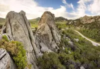
- Mesa Falls Scenic BywayAshton · Scenic bywayScenic byway through Targhee National Forest featuring lower and upper Mesa Falls, with viewing areas, nature trail, and historic Big Falls Inn visitor center.
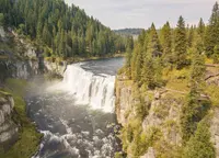
- Northwest Passage Scenic BywayLewiston · All american roadA route through the rivers, deep canyons, and rugged mountains of north-central Idaho and the land of the Nez Perce.
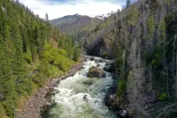
- Owyhee Uplands Backcountry BywayGrand View · Backcountry bywayThe 103-mile Owyhee Uplands Back Country Byway offers high desert scenery at its finest, from expanses of sagebrush and grasslands to sheer, red-walled river canyons - a vast, little-known, unchanged corner of the American West
- Sawtooth Scenic BywayStanley · Scenic bywayClimb 115 miles up Highway 75 through central Idaho's high desert to the Sawtooth Mountains at Stanley, passing Sun Valley, Galena Summit and Redfish Lake.
- Thousand Springs Scenic BywayBliss · State bywayThe route gives road trippers a glimpse of some of Idaho's remarkable geological wonders: canyon views, quaint small towns and Thousand Springs State Park's six units with waterfalls, hiking trails and wildlife.
Scenic Drives in all eleven states; next door in Montana, Wyoming, Utah, Oregon, and Washington.