
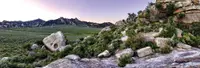
City of Rocks Backcountry Byway
Almo, Cassia County, Idaho. 49-mile route; best traveled between April and November.
Details
- Where
- Almo, Cassia County, ID. No street address stated. Directions
- When
- 24 hours.
- Getting there
- Begin on Idaho 77 at Albion, continue through Elba and Almo and City of Rocks National Reserve, then follow Birch Creek to Oakley and Idaho 27.
- Fees
- Free.
- Access
- Winter visitors take note – the City of Rocks Backcountry Byway may become impassable in winter.
- Phone
- (208) 824-5901
- Website
- visitidaho.org
The byway starts in Albion on Idaho 77 and runs south up the Albion Valley, past the turnoffs for Pomerelle Mountain Resort, a ski area in the Sawtooth National Forest, and Lake Cleveland Recreation Area. Cassia County’s history says the 1888 presidential election named both landmarks. The winner, Benjamin Harrison, got the high mountain, 9,285 feet. The loser, Grover Cleveland, got “the lower, less visible” lake. Albion has food and lodging. Almo and Oakley have partial services, and Burley, north of the route, has full services.
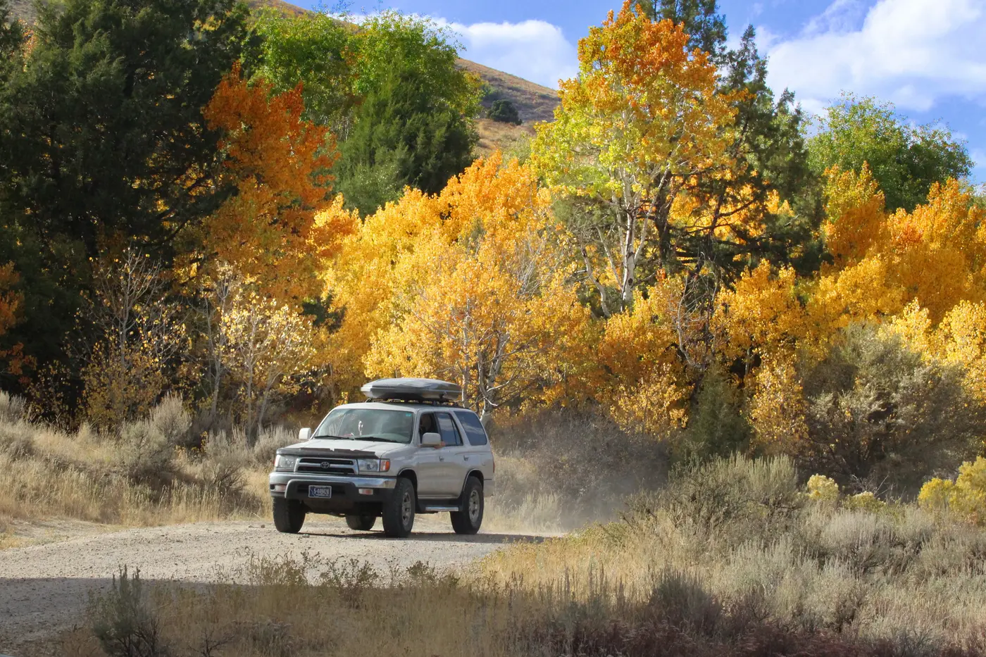
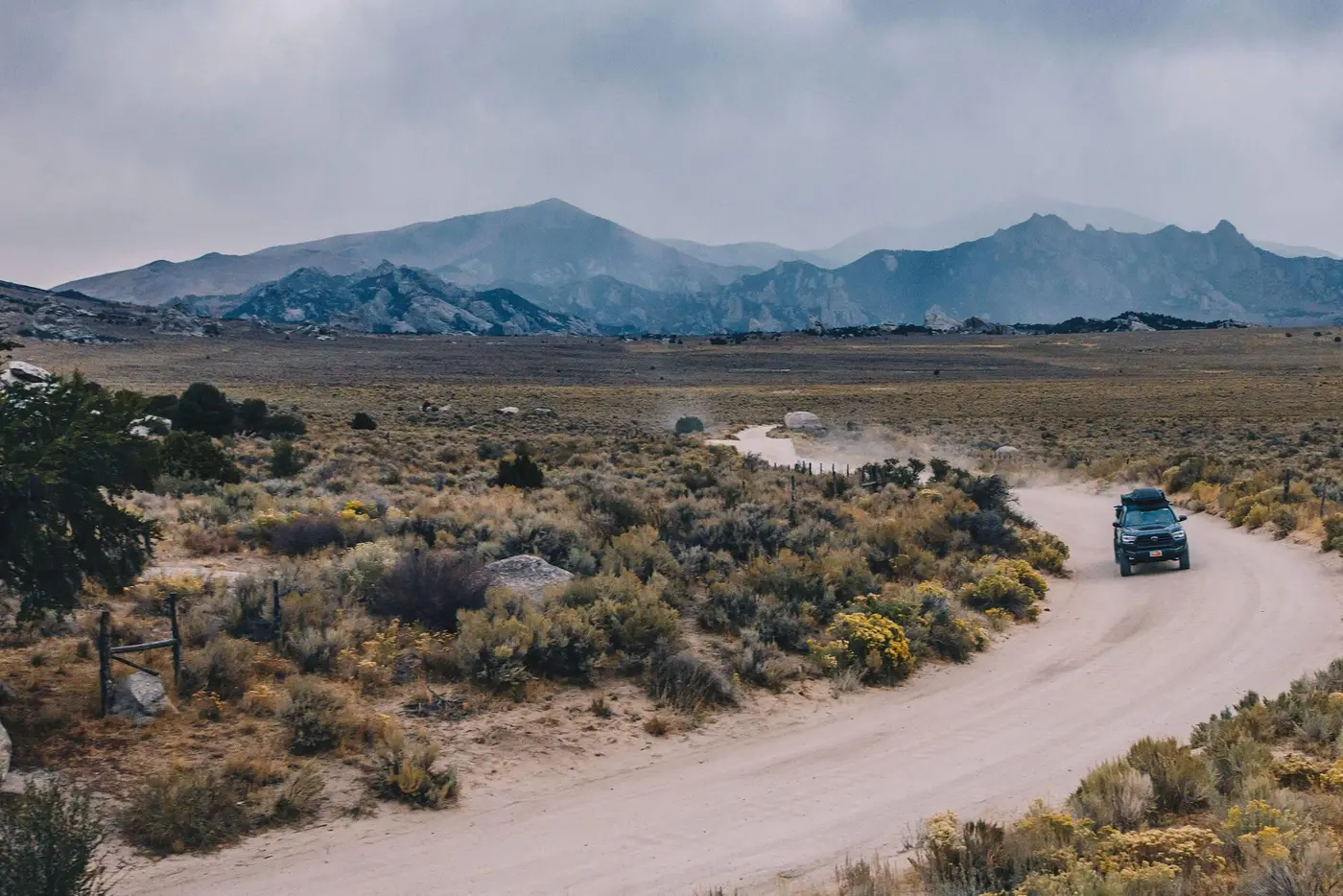
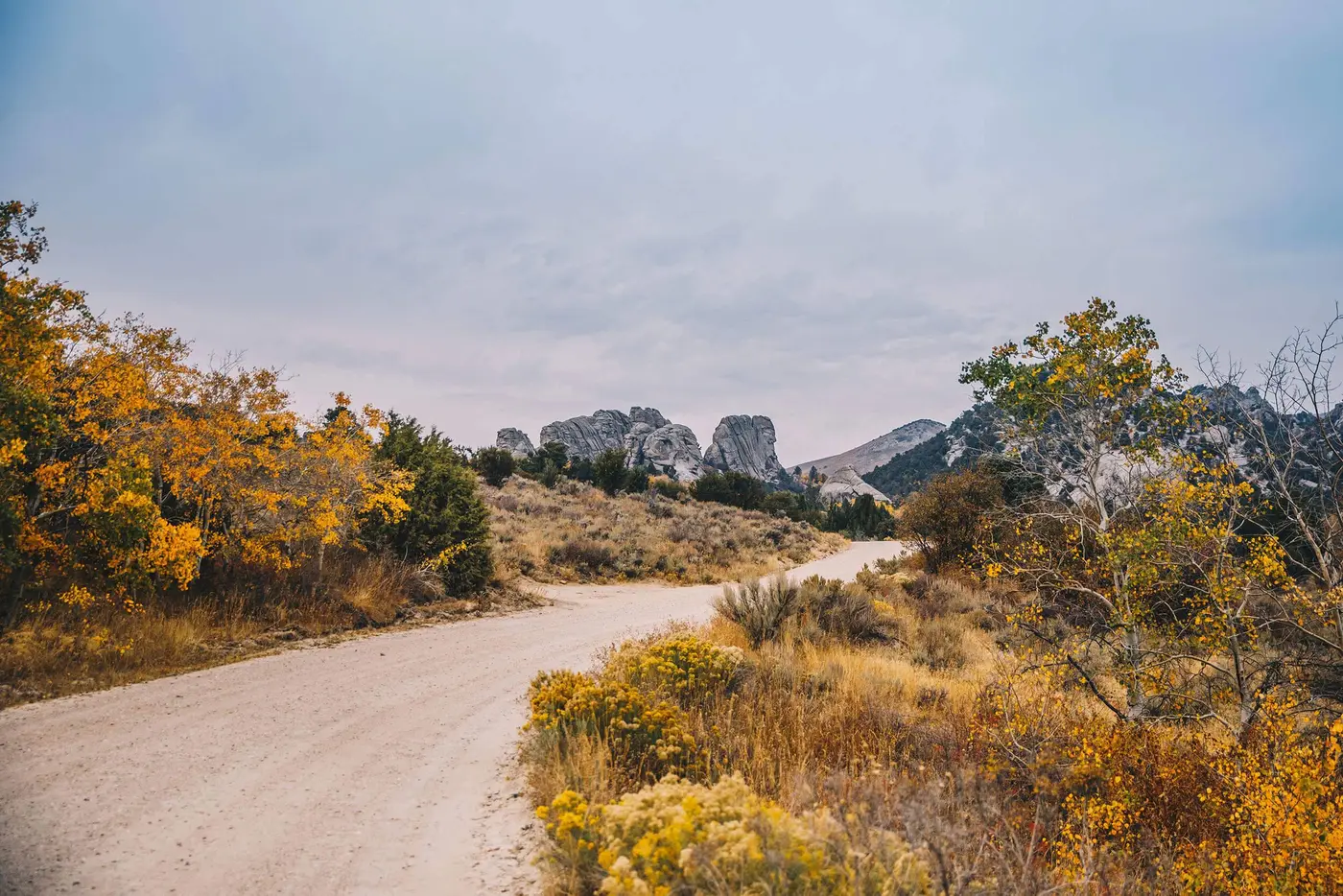
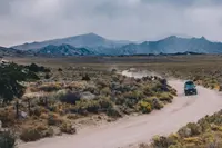
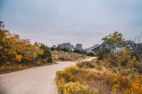
At Connor Creek Junction the road bends south through Elba toward Almo. A state brochure calls the whole route a “49-mile necklace around the Albion Mountain Range” and allows an hour and a half to drive it. Visit Idaho measures it at 49.4 miles and an hour and 18 minutes. The pavement runs from Albion to Connor Creek, and from there to Almo the road is narrow, winding, and still paved. From Almo to Oakley it is gravel until it meets Idaho 27. Idaho Parks and Recreation calls that southern approach dirt, washboarded in sections. The brochure gives April to November as the season. The National Park Service warns that drifting snow can close many roads in winter, and that Emery Pass usually stays impassable all winter.
Near Almo stands the City of Rocks/Castle Rocks Visitor Center. It shows an 8-minute orientation video and sells books, apparel, and souvenirs, much of it moose merchandise. In September 2026 the staff explained on Facebook that moose “really do call the City of Rocks home.” A found poem hangs on the wall inside. Eric Braman, the 2026 Artist in Residence and a poet from Springfield, Oregon, assembled it from words that visitors wrote and spoke at a poetry station at Bath Rock on September 5 and 6. A weather station along the visitor center trail sends its readings to NOAA. Castle Rocks State Park lists a Ranch Fest at the visitor center’s address for Thursday, October 8, 2026, at 4 p.m.
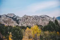
Spires above the Almo Valley
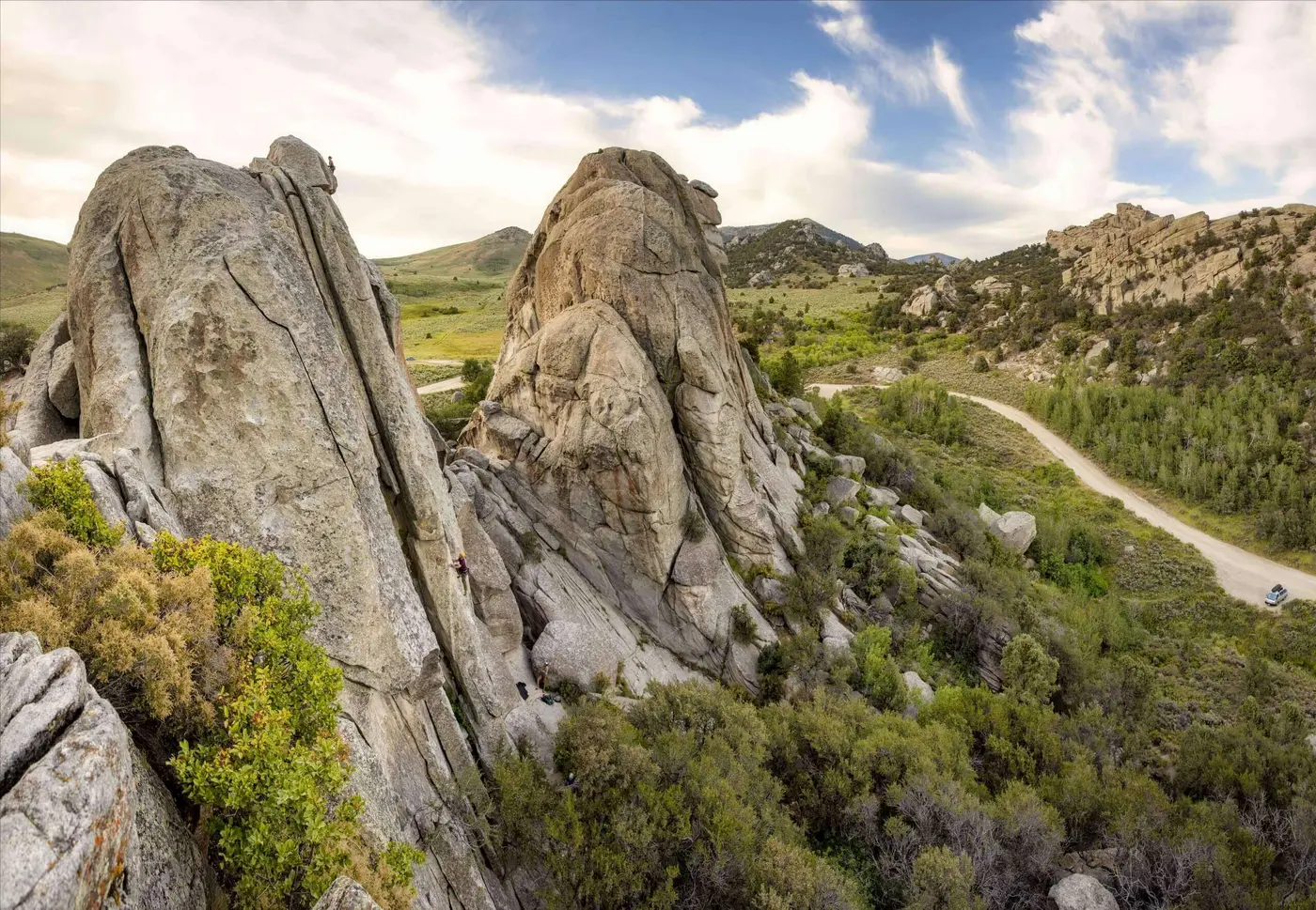
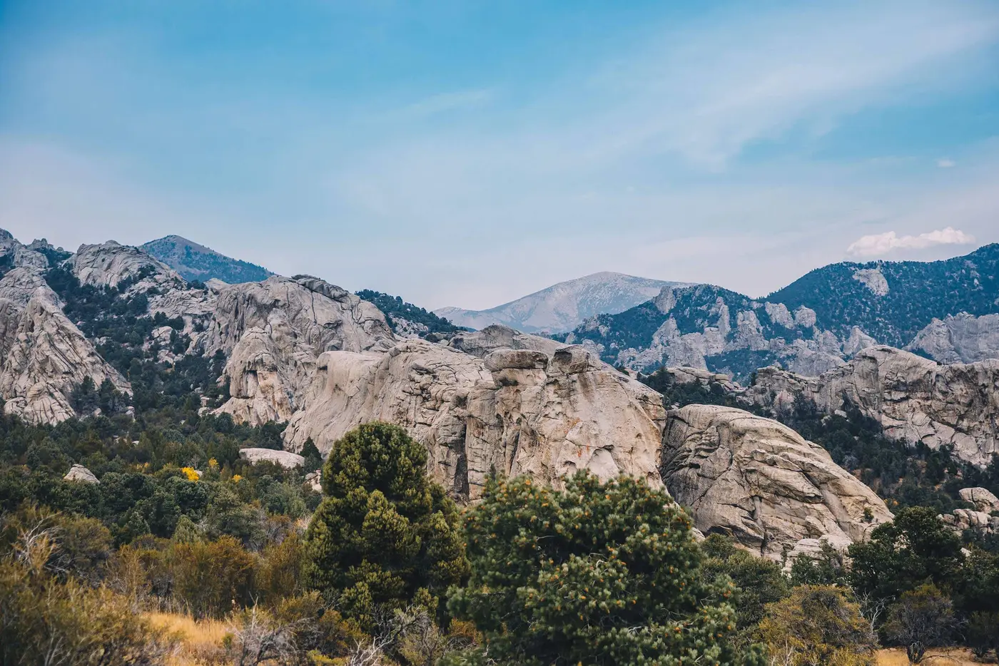
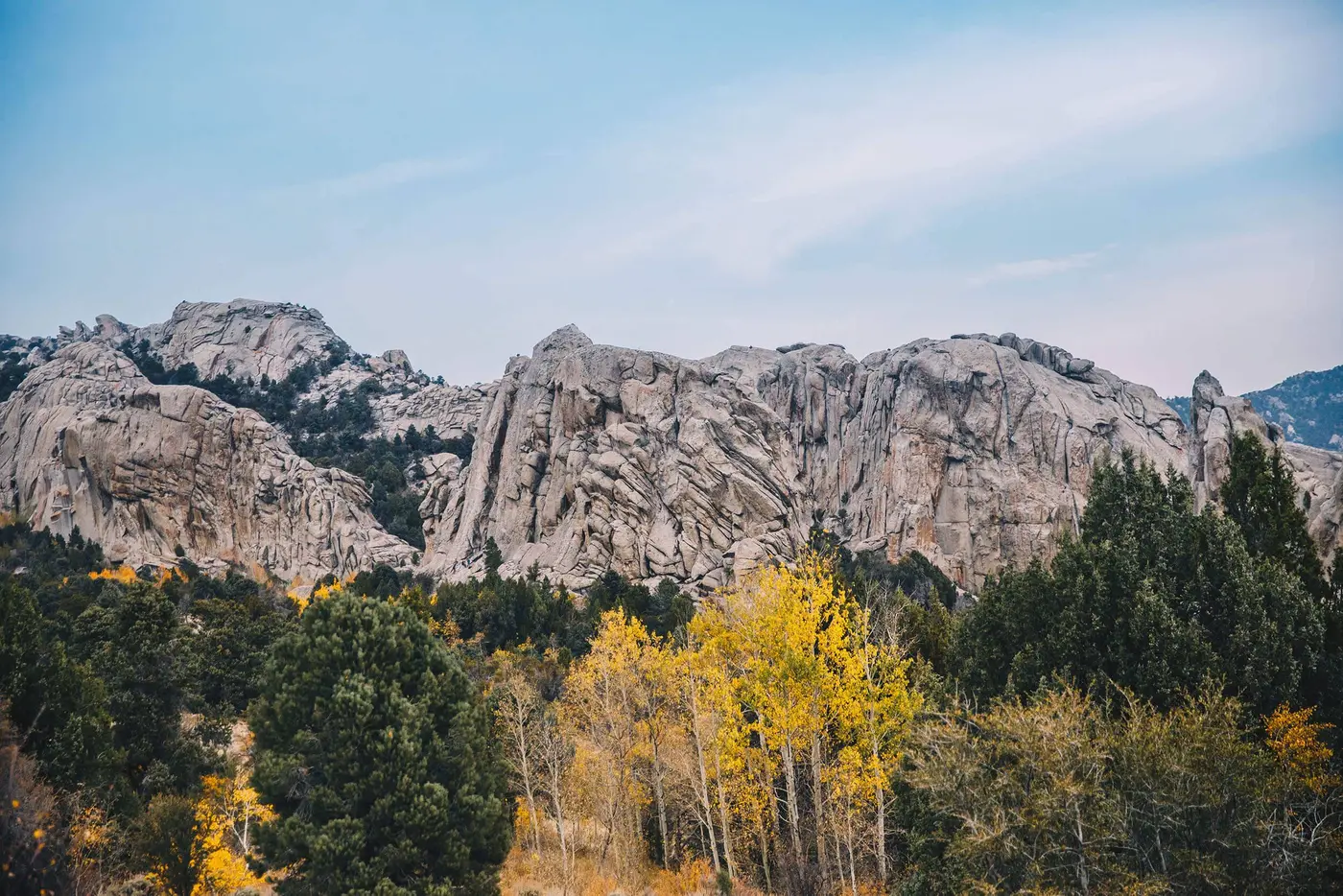
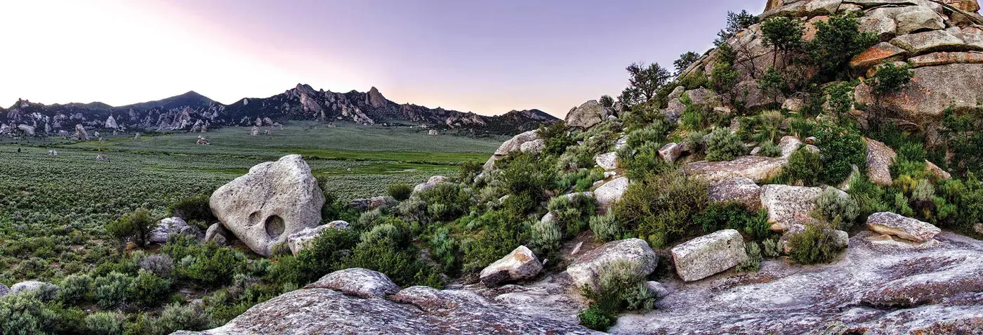
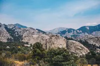
City of Rocks National Reserve covers 14,407 acres, about a quarter of it privately owned, at elevations from 5,400 to 8,867 feet. Its granite spires and monoliths stand as tall as 60 stories. Geologists cited by the state estimate the oldest granite at more than 2.5 billion years. The byway’s planners describe how it formed: molten rock deep in the crust intruded through the older granite, and cracking, fracturing, and erosion did the rest. Climbers prefer the younger granite of the Almo Pluton, where about 700 routes have been developed. The state brochure says the climbing rivals Yosemite’s.
Near the reserve’s east entrance, a narrow, winding spur climbs to Circle Creek Overlook at 6,120 feet. On a clear day the view reaches more than 100 miles, to the Bear River Mountains, and a Geological Interpretive Trail leaves from the parking area. Along City of Rocks Road, climbers work on Elephant Rock, Bath Rock, and Morning Glory Spire. In 2026 there was drinking water at Bath Rock. The water at Emery Pass Picnic Area, among aspens below the Bread Loaves monolith, was not considered potable. The reserve has 64 basic campsites and three group sites, named Juniper, Twin Sisters, and Bread Loaves. Castle Rocks State Park next door has serviced sites at Smoky Mountain Campground.
From the reserve the gravel drops through Emery and Birch Creek canyons to Oakley. The entire town is on the National Register of Historic Places and holds the state’s largest concentration of old stone and wood-framed buildings. A marker there tells how Latter-day Saints from Tooele, Utah, arrived in April 1879 under William E. Martindale, at a place where James Dayley and his two sons had already staked claims and built cabins. Another marker stands beside iron cells from the old Cassia County Jail at Albion. They held the gunman Diamondfield Jack from March 1897 to February 1899 and were moved to Oakley after the jail there burned. The Oakley Valley Historical Museum is also in town.
Names in axle grease
At Camp Rock and Register Rock, California-bound emigrants wrote their signatures in axle grease. The National Park Service dates them 1843 to 1882. The state counts nearly a quarter-million travelers through here in those years, who left hundreds of inscriptions, wagon ruts, and journal accounts. The brochure dates the trail migration its wayside exhibits interpret as 1843 through 1869. Exhibits stand at Pinnacle Pass, Twin Sisters, and Granite Pass, and the markers quote the diarists. “The gray granit rocks stand in pyramid monument & dome forms,” Augustus Ripley Burbank wrote on August 4, 1849. “Emigrants names are written ... on these curious structures.” On June 22, 1852, Richard Augustus Keen recorded: “There are thousands of names here I registered on a large Rock.”
James F. Wilkins gave the place its name. He was born in London in 1808, studied and exhibited at the Royal Academy, came to the United States in 1838, and painted portraits in Peoria, New Orleans, and St. Louis. When gold was found in California, he went west to collect material for what he first called a “Panorama of the Plains, from Independence to San Francisco.” The state dates his trip to 1849. On the way he described the formations as “City of Rocks.” Visit Southern Idaho says he wrote that the valley had the appearance of a “silent city.”
Other travelers called it Steeple Rocks. In 1850, Henry Keck, his brother Joseph, and 22 other men left Iowa with six ox-teams. On June 27 they reached the Raft River, four miles east of the rocks, after a wagon tipped over crossing a creek and spilled the still-ailing Henry into the water. Two days later they passed through. Joseph wrote that “the passage through is just wide enough to admit a wagon.” The Park Service says he probably meant Pinnacle Pass, where J. G. Bruff found the same squeeze on August 29, 1849, between “very high, jagged and thin walls of granite.”
Daniel Tickner, a blacksmith of Albion, Illinois, came through on horseback in 1850 with a friend, A. Freeman. His wife’s parents had sent him to bring home her brother John, who had gone after gold. The two men wrote their names in axle grease on Register Rock. In 1852 Tickner made the trip again, this time in a covered wagon with his wife, his children, and two brothers-in-law.
That was the peak year of the overland migration, with more than 100,000 travelers. A stage station marker at Almo says traffic through the rocks ebbed after 1852 and virtually stopped once the Union Pacific transcontinental railroad was finished. The rocks then served the stage lines as a relay station. Another marker preserves a traveler’s Christmas there: “we sat down to a Christmas dinner that only youth and vigor could do justice to.”
Pine nuts at the Twin Sisters
For the Shoshone, whose horse herds summered here, the upper Raft River and the City of Rocks were a seasonal village center. The land offered grazing, pine nuts, rock chucks, game, and roots. Almo residents told a federal study that as late as the 1970s, people from the Fort Hall Reservation came every fall for pine nuts. “They would gather the cones all day, then dig huge pits, fill them with wood and set it on fire,” one account runs. The cones went into the coals under a cover of dirt and were popped open by morning. The nuts sold for a quarter a pint, and buckskin gloves were traded for deer hides. The visitors first came by wagon and team and later by car. Years after the move to Fort Hall, the Bannock-Shoshone returned to camp near the Twin Sisters for ceremonial dances, close to a spring of cold running water. Settlers also report what they call an Indian legend: a bath in Bathtub Rock before sunrise will restore youth to the aged.
The fur brigades passed close by without writing the rocks down. Alexander Ross of the Hudson’s Bay Company camped near them in 1824, and the study notes that his diary never mentions them. Peter Skene Ogden’s party found Granite Pass in 1826; the study elsewhere gives 1825. In 1842 Joseph B. Chiles crossed the pass eastward and confirmed it as a route to the Humboldt. That completed the final link of the California Trail.
Cattle, homesteads, and a county seat
Charles Gamble, a 22-year-old from Maryland, brought a herd of cattle and his cowboy associates into the Raft River country in December 1866. He was the first known white settler in what became Cassia County. By 1868 pioneers were settling Marsh Valley, now Albion, and over the next ten years they moved on to Malta, Elba, Almo, and Oakley. The territorial legislature created the county on February 20, 1879, with Albion as its seat. Burley took the seat on November 5, 1918. The Tracy Store in Almo, opened in 1894, is the oldest building still in use in the county.
Cattle and sheep men soon fought over the range. Diamondfield Jack Davis had been hired by a cattle rancher to keep sheepherders off his land, and he was accused of murdering two sheepherders in February 1896. Two cattlemen confessed to the killings in November 1900, and Davis was pardoned in 1902. The open-range cattle industry around the rocks had already been devastated by the winter of 1889, according to the Park Service’s historic resources study.
That study opens with a settler’s memory of the homesteads of about 1910, when water “wasn’t far from the surface; and the sage brush grew high and a horseman could ride through without being seen.” Drought beginning about 1917, and depression through the 1920s and 1930s, emptied that later homestead community. By the 1930s, recreation was seen as the logical use for land the study calls “beautiful” but unwatered and unproductive.
The study also warns about the stories. Tales of Indian conflict, stagecoach bandits, and range wars “personify the Wild West,” it says, and “have been repeated and embellished accordingly.” An Almo marker is dedicated to those lost in “a most horrible Indian massacre 1861,” and it states that of three hundred west-bound immigrants, “only five escaped.”
A county’s application
The rocks became a National Historic Landmark in 1964 for their place on the California Trail, and a National Natural Landmark in 1974. In 1988 Congress made City of Rocks one of four National Reserves. In 1991, while drafting the reserve’s management plan, the National Park Service proposed a scenic and historic route around it. Cassia County held public meetings, gathered the support of each town along the way, and applied to the state. Idaho designated the byway in 1996.
An advisory committee wrote its management plan in June 1998. Members came from Albion, Burley, Oakley, Declo, Elba, Malta, and Almo, along with representatives of the reserve, the Forest Service, and the Bureau of Land Management. At that time about 25 miles of the route were paved and 24 were not. “The Reserve is directed by a state and a federal agency,” the plan states. “The Byway is a citizen process.”
Rebuilding began in 2006 on the southernmost section near Almo. A second stage was finished in 2007. In 2009 crews realigned 4.5 miles north of Elba to Connor Corner, with bridge work over Cassia Creek, and then rebuilt the last mile south of Elba, with a pilot car leading traffic through the work zones. In late summer 2026, Cassia County Road and Bridge scheduled culvert replacement on the road from Bath Rock to Logger Springs Road.
Notable Events
- 1843California-bound emigrants left signatures in axle grease at Camp Rock and Register Rock. nps.gov
- 1852The City of Rocks Stage Station marker at Almo states that emigrant flow through City of Rocks ebbed after 1852 and virtually ceased after the Union Pacific transcontinental railroad was completed, though the rocks stayed a transportation center as a relay station. hmdb.org
- 1861An Almo marker dedicated to those killed in 'a most horrible Indian massacre 1861' says three hundred west-bound immigrants were attacked and only five escaped; the NPS study cautions that such massacre tales were repeated and embellished. hmdb.org
- 1866Charles Gamble, a 22-year-old Marylander, settled in the Raft River area in December 1866 with a herd of cattle and his cowboy associates, in the county the byway crosses. cassia.gov
- 1870sThe present-day towns along the route, Almo, Elba, Malta, Albion and Oakley, were settled in the 1870s, after settlers moved to Malta, Elba, Almo and Oakley in the years following the first settlement at Marsh Valley. cassia.gov
- 1879Territorial legislation created Cassia County on February 20, 1879, at first including all the territory south of the Snake River from Raft River east to Devil Creek, with Albion as the first county seat. cassia.gov
- 1889The study dates the collapse of the early open-range cattle industry in the City of Rocks country to the winter of 1889, with the arrival of wool growers and farmers disrupting it further. npshistory.com
- 1917A regional drought beginning about 1917 and the depression of the 1920s and 1930s drove a whole-scale exodus of the later homestead community around the rocks. npshistory.com
- 1930sBy the 1930s recreational use of the unwatered and unproductive land around the City of Rocks was taken as the logical economic alternative to farming, the turn that leads to today's reserve and byway. npshistory.com
- 1964The landmark designation recognized its relationship to the California Trail and mid-1800s westward migration. evogov.s3.amazonaws.com
- 1974The designation recognized the area's nationally significant geologic features. evogov.s3.amazonaws.com
- 1988Congress established City of Rocks as one of four National Reserves. evogov.s3.amazonaws.com
- 1991The National Park Service proposed the route while developing the City of Rocks Reserve Comprehensive Management Plan. evogov.s3.amazonaws.com
- 1996Idaho officially designated the City of Rocks Back Country Byway. evogov.s3.amazonaws.com
People
- Charles Gamble, First known white settler to arrive in Cassia County, in the Raft River country the byway crosses (1866).
- Leander V. Loomis, Emigrant whose description of the Circle Creek valley near Almo supplied the 'Pleasant Valley' name on that trail marker (circa 1850).
- Richard Augustus Keen, Emigrant who recorded the crowd of names left on the great rock at City of Rocks (1852).
- James F. Wilkins, Artist and California emigrant who described the area as City of Rocks.
Sources
- visitidaho.org/things-to-do/scenic-byways/city-of-rocks-backcountry-byway
- nps.gov/ciro/planyourvisit/auto-touring.htm
- parksandrecreation.idaho.gov/state-park/city-of-rocks-national-reserve
- visitsouthidaho.com/adventure/city-of-rocks-backcountry-byway
- apps.itd.idaho.gov/Apps/MediaManagerMVC/PressRelease/Preview/2206
- idahodocs.contentdm.oclc.org/digital/api/collection/p16293coll3/id/195085/download
- nps.gov/ciro/planyourvisit/conditions.htm
- facebook.com/CityOfRocksNPS
- npshistory.com/publications/ciro/hrs/sec2.htm
- hmdb.org/results.asp?Search=County&county=Cassia+County&state=Idaho
- cassia.gov/city-of-rocks
- evogov.s3.amazonaws.com/media/67/media/25918.pdf
- nps.gov/ciro/learn/historyculture/people.htm