Scenic drives and byways in Oregon
Scenic drives and byways in Oregon, each compiled from its own sources: length, season, road surface, and the towns on it. No ratings; every entry carries its status.
Point at a dot to see the place.Tap a dot to see the place. Road map of Oregon.
- Blue Mountain Scenic BywayHeppner · Scenic bywayA two-lane Forest Service byway from I-84 at Heppner Junction over Oregon's Blue Mountains, past a wintering ground where more than 1,000 Rocky Mountain elk gather.
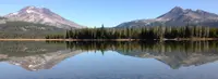
- Cascade Lakes Scenic BywayBend · Scenic bywayThe Cascade Lakes Scenic Byway runs 66 miles from Bend past Mount Bachelor and a chain of volcanic lakes to Oregon 58, through lava fields where Apollo astronauts trained.
- Charleston to Bandon Tour RouteCharleston · Scenic driveA spur off the Pacific Coast Scenic Byway in Coos County, Oregon, from the Charleston fishing port past Cape Arago's sea lions and down Seven Devils Road to Bandon's beach.

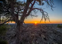
- Christmas Valley Back Country BywaySilver Lake · Back country bywayA 93-mile Bureau of Land Management byway across Oregon's high-desert Fort Rock basin, where ponderosa pines grow on about 9.5 inches of rain, 40 miles from the nearest ponderosa forest.
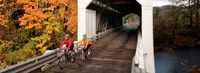
- Cottage Grove Covered Bridge Tour RouteCottage Grove · Covered bridge tour route (for motor vehicles)A 20-mile loop past six covered bridges around Cottage Grove, Oregon, ending at what is believed to be the last covered railroad bridge west of the Mississippi.
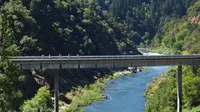
- Cow Creek Tour RouteRiddle · Scenic canyon drive through western oregon's historic mining countryA 45-mile two-lane byway along Cow Creek from Riddle to Glendale, Oregon, on an old railroad grade, past the tailings of the last nickel smelter in the lower 48.
- Diamond Loop Back Country BywayDiamond · Tour routeA 69-mile Bureau of Land Management loop in Harney County, Oregon, crossing Malheur refuge marsh, a basalt crater field, and Peter French's round horse-breaking corral of stone and juniper.
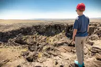
- East Steens Tour RouteFields · Tour routeA 143-mile Oregon State Scenic Backway in Harney County, running from Fields to Burns along the Alvord playa, beneath the mile-high east face of Steens Mountain.
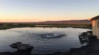
- Elkhorn Drive Scenic BywayBaker City · Scenic driveA 106-mile loop through the Elkhorn Mountains west of Baker City, Oregon, that tops out at 7,392-foot Elkhorn Summit, the second-highest paved road in the state.
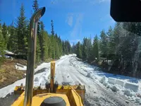
- Galice-Hellgate Back Country BywayGalice · Back country bywayThe Galice-Hellgate Back Country Byway follows the Rogue River west from Merlin, Oregon, past a gorge more than 200 feet deep to the old Takelma trail at Grave Creek.
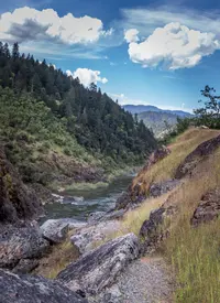
- Grande Tour RouteLa Grande · Scenic driveAn eighty-mile signed loop around eastern Oregon's Grande Ronde Valley, passing mint fields and a 1906 brick sanatorium once billed as the "Mayo Clinic of the West."
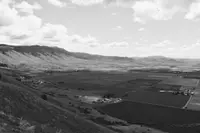
- Hells Canyon Scenic BywayJoseph · All-american roadAn All-American Road looping some 218 miles around Oregon's Wallowa Mountains, climbing from Joseph's bronze foundries over Forest Road 39 to the rim of North America's deepest canyon.
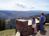
- High Desert Discovery Scenic BywayBurns · Scenic bywayThe 127-mile run of Oregon 205 from Burns to Fields, through the Malheur marshes and under Steens Mountain, across a valley Peter French once fenced for his cattle.
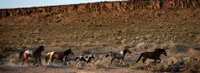
- Historic Columbia River HighwayTroutdale · National historic landmarkThe Historic Columbia River Highway, built 1913 to 1922 from the Sandy River near Troutdale to The Dalles, was laid out by an engineer who surveyed first for "the beauty spots."
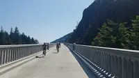
- Journey Through Time Scenic BywayFossil · Scenic bywayThe marks of time are stamped across the landscape on this 286-mile/460-kilometer route through prehistoric fossil beds, mining boomtowns and surprising sights like the Painted Hills.
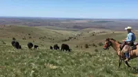
- Lakeview to Steens Back Country BywayLakeview · Scenic bywayWaterfowl in the Warner Wetlands, the geologic escarpment at Hart Mountain and the National Antelope Refuge, and wide views of the high desert west of Steens Mountain.
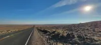
- Lower Crooked River Back Country BywayPrineville · Back country bywayAn Oregon state highway located in Deschutes County and Crook County. OR 27 traverses the Crooked River Highway No. 14 of the Oregon state highway system. Known as the Lower Crooked River Back Country Byway, OR 27 has the distinction of being one of the only state highways in Oregon which is partially paved.
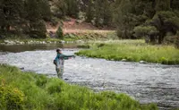
- Lower Deschutes River Back Country BywayMaupin · E-bike rental outfitterMaupin outfitter offering hourly rentals of full suspension, Class 3 cargo e-bikes for scenic rides along the Wild and Scenic Lower Deschutes River between Maupin and Sherars Falls, with views of rafters at Oak Springs, Mt. Hood, and Sherars Falls.

- Marys Peak to Pacific Scenic BywayCorvallis · State bywayFrom the highest point in the Coast Range to the broad, sandy beaches of the Central Coast, one of Oregon's newest byways follows the Alsea River on a delightfully meandering 72-mile tour.
- McKenzie Pass-Santiam Pass Scenic BywayMcKenzie Bridge and Sisters · Part of the mckenzie pass - santiam pass national scenic bywayA portion of the byway travels through the McKenzie River Ranger District of the Willamette National Forest where you'll experience dramatic views of the snowcapped High Cascade Peaks.
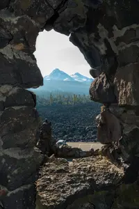
- McKenzie River Scenic BywayEugene · 34-mile/55-kilometer riverside routeThe steely blue McKenzie River sets the course for this 34-mile/55-kilometer riverside route, which links the fruitful Willamette Valley to the fragrant fir forests of the Cascade Mountains.
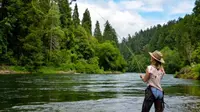
- Mt. Hood Scenic BywayHood River · Scenic bywayThe glacier-caked summit of Oregon's highest peak creates a dramatic centerpiece for this 100-mile/161-kilometer route that skirts the mountain through fruit valleys and thick fir forest.
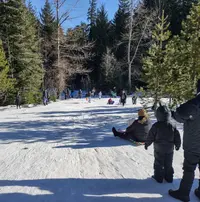
- Myrtle Creek-Canyonville Tour RouteMyrtle Creek · Tour routePicturesque farms, verdant forests and scenic streams through the southern Cascade foothills on an easy-to-access 68-mile Tour Route east of I-5.
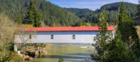
- Outback Scenic BywayLakeview · Scenic bywayThe delicate beauty of the high desert sweeps from horizon to horizon on this 171-mile/275-kilometer drive across the Great Basin, a landscape as vast as an inland sea.
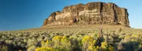
- Over the Rivers and Through the Woods Scenic BywaySweet Home · Scenic bywayA 66-mile/106-kilometer byway climbing through five ecosystems from the Willamette Valley to the West Cascade Mountains.
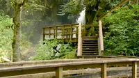
- Pacific Coast Scenic BywayAstoria · All-american roadStarting in Astoria and traveling south to Brookings, the byway winds past estuarine marshes, clings to seaside cliffs, passes through agricultural valleys, and brushes against wind-sculpted dunes; charming small towns, museums, state parks, overlooks, historic bridges, and lighthouses ensure a delightful journey.
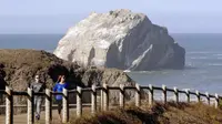
- Quartzville Back Country BywayCascadia · Back country bywayEnjoy a day of hiking and exploring along the BLM's Quartzville Back Country Byway, or spend the day fishing, swimming, and gold panning on the serene Quartzville River.
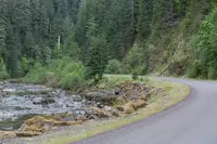
- Rogue-Coquille Scenic BywayGold Beach · Scenic bywayThis discovery drive provides scenic ocean views and an unforgettable experience of the true ruggedness and beauty of remote Oregon along its wild rivers and vast forests. The portion between Gold Beach and Myrtle Point is aptly named the Rogue-Coquille Scenic Byway
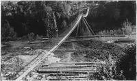
- Rogue-Umpqua Scenic BywayRoseburg · Scenic bywayMore commonly known as the "highway of waterfalls," the byway ascends from I-5 into the southern Cascades, tracking two of Oregon's most storied rivers.
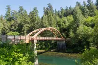
- Silver Falls Tour RouteSilverton · Scenic drivesSide-loop route, with the Trail of Ten Falls, Cascade peaks visible, and the South Falls Lodge constructed by the CCC.
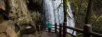
- Snake River-Mormon Basin Back Country BywayBaker City · Back country bywayA 150-mile byway through the rangelands of eastern Oregon's Baker and Malheur counties, with options for high-clearance two-wheel drive vehicles. Steep canyons, prominent cliffs, and rock outcrops line the route.
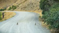
- South Fork John Day River Back Country BywayDayville · Back country bywayThis gravelled Back Country Byway parallels the Wild and Scenic South Fork John Day River through its incised canyon for a distance of 50 miles from its northern terminus at Dayville to the northern border of Malheur National Forest to the south.
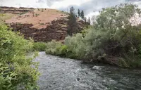
- Steens Loop Tour RouteFrenchglen · Steens mountain backcountry bywayThe Steens Mountain Loop Road is Oregon's highest elevation road and is generally open from early July to November. It affords visitor access to four developed campgrounds and overlooks at Kiger Gorge, East Rim, Big Indian Gorge, Wildhorse and Little Blitzen Gorge. The Loop Road also accesses the Riddle Brothers Ranch National Historic District.
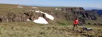
- Trees to Sea Scenic BywayBanks · State bywayOne of Oregon's newest scenic byways, connecting Tualatin Valley through the Tillamook State Forest to the Oregon Coast.
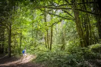
- Umpqua River Scenic BywaySutherlin · Scenic bywayA 66-mile/106-kilometer drive through historic timber towns, wine country, fishing hot spots and fur-trading posts, twisting through the Coast Range on its way to the Pacific
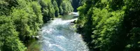
- Vineyard and Valley Tour RouteSherwood · Tour routes & trailsHandpicked produce, carefully crafted wines and bucolic beauty will tempt you at every turn on this 57-mile/92-kilometer route through the Tualatin Valley — an easy side trip from the Portland metro area

- Volcanic Legacy Scenic BywayKlamath Falls · All american roadOne of 42 All-American Roads, bookended by Lassen Volcanic National Park and Crater Lake National Park; the byway region has been molded by its fiery volcanic past, with soaring volcanic peaks, expansive lava flows, lava tubes, caves, spatter cones, bubbling mudpots, and steaming fumaroles.
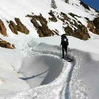
- West Cascades Scenic BywayEstacada · All-american roadA 215-mile drive along the lush western slope of the Cascade Mountains, where some of Oregon's best-known rivers spill through timeless fir forests.
Scenic Drives in all eleven states; next door in Washington, Idaho, and California.