
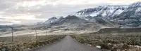
East Steens Tour Route
Fields, Harney County, Oregon. Tour route; Spring through fall.
Details
- Where
- Fields, Harney County, OR. No street address stated. Directions
- When
- 4-7 hours driving time.
- Getting there
- From Fields, north on Fields-Denio Road, then east on OR-78 toward Crane and Burns.
- Access
- Alvord Desert is accessible year-round; ideal conditions June through November when the playa is dry enough for vehicular travel. Do not drive on wet clay: getting stuck carries hefty tow bills from this remote location.
- Website
- traveloregon.com
- Managed by
- Travel Oregon.
At the south end of the East Steens Tour Route stands Fields, a supply stop that began as a stone roadhouse. Settler Charles Fields built it in 1881 as a stagecoach supply station. Travelers still stop there for food, fuel, and supplies before heading north into the Alvord Desert and the Steens Mountain country, and back again at the end of the trip for a burger and a milkshake. The Oregon Department of Transportation’s TripCheck reports that “rumor has it that the cafe in Fields serves some of the best hamburgers and milkshakes in southeastern Oregon.” The Bureau of Land Management advises calling the Fields Station for current hours.
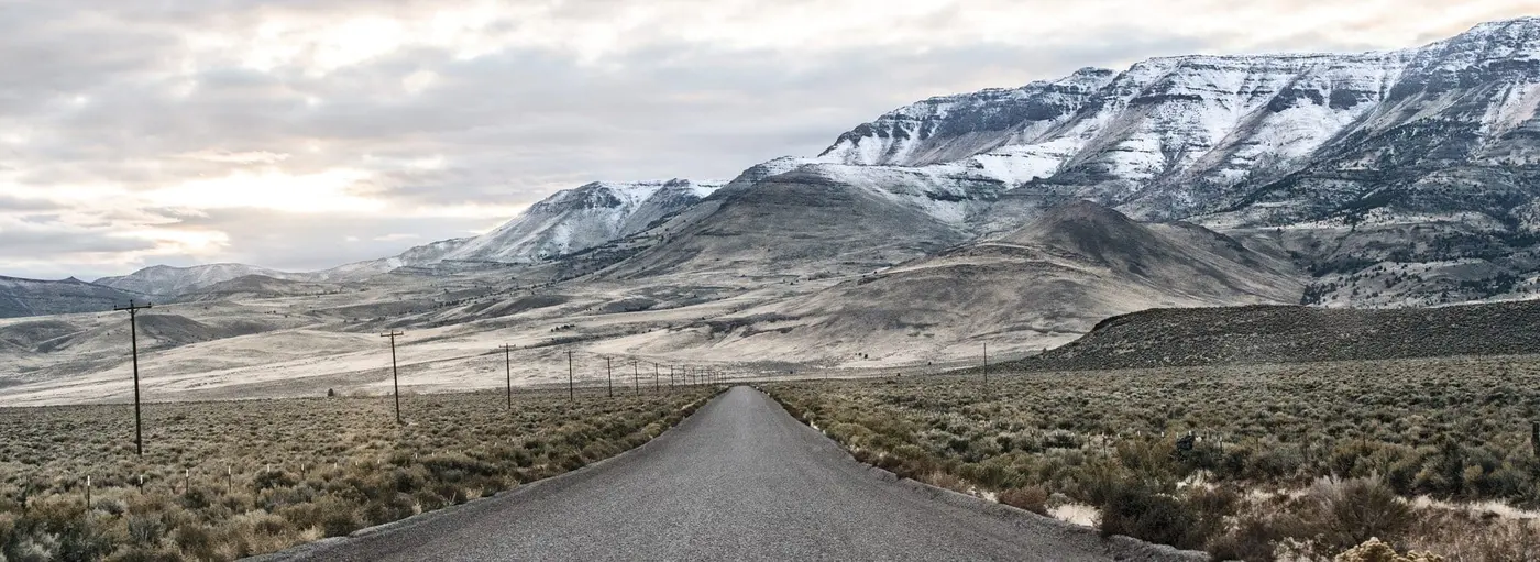
Travel Oregon describes the route running north from Fields on Fields-Denio Road, a gravel-and-dirt surface maintained for passenger vehicles, then turning east on OR-78 toward Crane and Burns. TripCheck describes the same 143 miles in the other direction, south out of Burns, ending at Fields. Travel Oregon puts the driving time at four to seven hours. TripCheck gives five to seven. Both name spring through fall as the season, and TripCheck adds that the route “is enjoyable year round.” Travel Oregon posts road-closure and wildfire alerts at the top of its page for the route.
The playa under the fault block
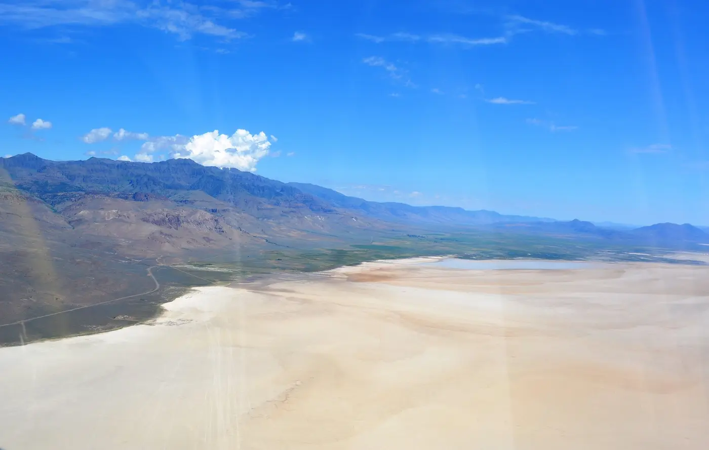
For most of the route, Steens Mountain stands to the west. Travel Oregon calls it a “9,734-foot fault block” and “a tremendous rain shadow responsible for the Alvord Desert.” Other sources give other heights. The Oregon Encyclopedia gives 9,733 feet in its Steens Mountain entry and 9,773 in its Alvord Desert entry. The Oregon History Project gives 9,670 feet, and TripCheck says “nearly 10,000 feet.” TripCheck and the Oregon Encyclopedia agree that the mountain rises more than a vertical mile above the Alvord Basin, where the average elevation is about 4,060 feet.
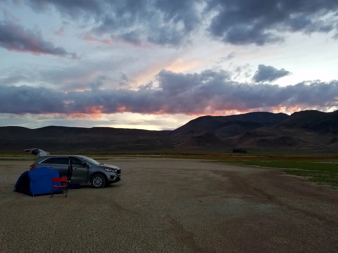
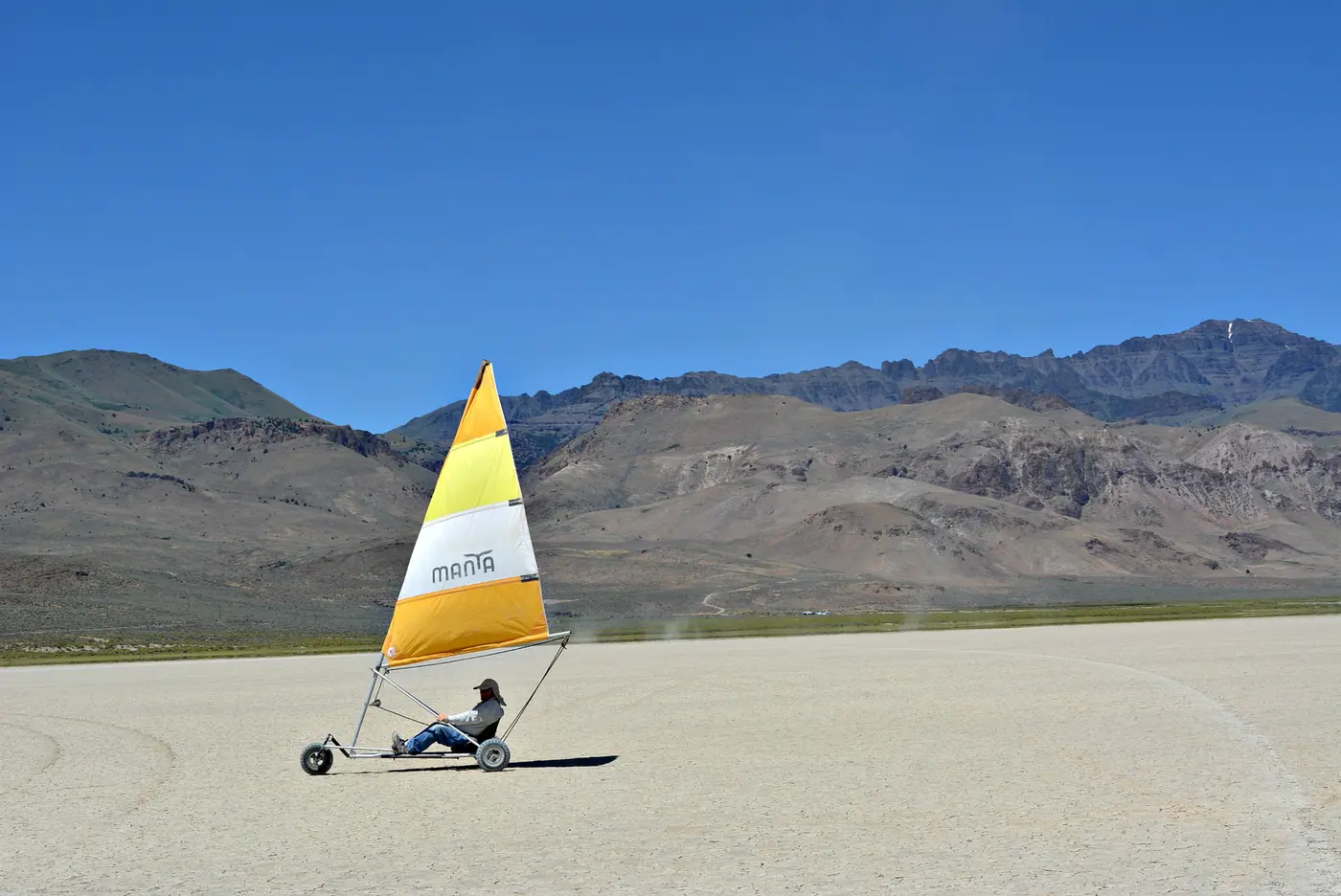
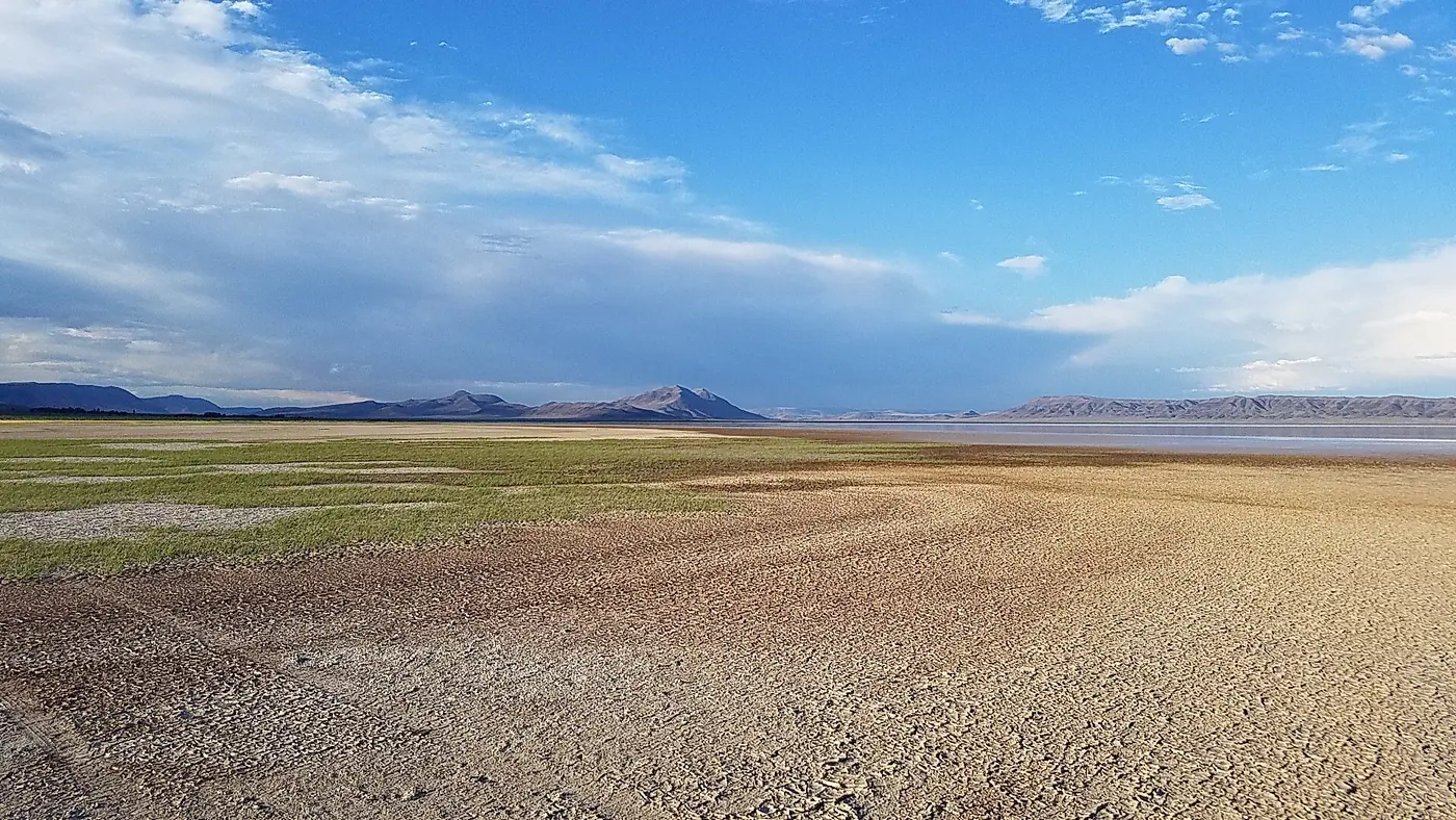
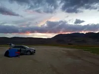
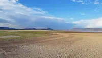
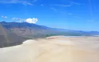
East of the road, the salt flats of the Alvord Desert spread out. The BLM measures the playa at six miles wide and 11 miles long. Travel Oregon gives some 60 square miles. The Oregon Encyclopedia describes the larger basin as a graben, a block of ground dropped down by faulting, about 8 miles wide and 70 miles long. Ultralight and glider pilots fly over it. Motorcycle and ATV riders cross it, and so do land kiteboarders and sailors on windsurfing boards and sailboats on wheels. Campers pitch tents on the open flat. The BLM’s directions onto the playa turn east from East Steens Road on the Frog Springs Access Road.
The playa can be wet or dry depending on the season. The BLM says it is usually dry enough for vehicles from June through November. Its clay sediments turn slick when damp, and “what looks like a harmless puddle can quickly turn into thick, sticky mud.” Tow bills from this distance are hefty. There is no potable water, no cell service, and no designated campsite. The only public facility is a single vault restroom at Frog Springs, between the playa and the road. Strong winds are common, so campers are told to tie everything down.
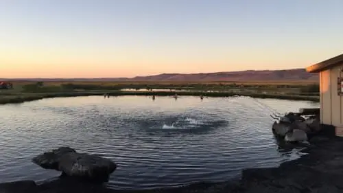
North of the hamlet of Andrews, a corrugated metal shed on the east side of the road marks Alvord Hot Springs, a privately operated soak. Travel Oregon and TripCheck say the water rises at about 174 degrees and cools before it reaches the man-made pools. The Oregon Encyclopedia gives the source temperature as 180° to 170° F and says the water is piped to a pool kept at about 110° to 115° F.
Borax Lake and the steaming ground
About four miles east of Fields lies Borax Lake, a ten-acre lake fed by hot springs. The University of Idaho and the U.S. Geological Survey have mapped 180 other springs along the fault that bounds its west side. The lake’s surface sits higher than the surrounding desert floor. The Oregon Encyclopedia explains that wind has worn the nearby ground down, while the lake water cemented its own banks into harder material. The lake is a Nature Conservancy biological reserve and is closed to swimming. It is home to the endangered Borax Lake chub, a dark olive-green minnow one to four inches long that has adapted to 100° F water.
Mickey Hot Springs lies about 15 miles northeast of the playa, near the Sheepshead Mountains. It has at least 60 spring vents averaging about 170° F, which is too hot for soaking. A short walk passes steam vents, boiling mud pots, and several crystal-blue pools. The BLM asks visitors to keep children and pets well back from the edges.
Lakes in the sage, and on to Crane
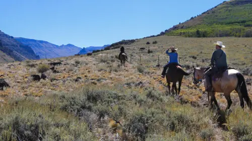
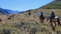
North of the playa, small lakes lie in the sagebrush: Mann Lake, Ten Cent Lake, and, on TripCheck’s list, Five Cent, Fifteen Cent, and Juniper Lakes. Depending on the year, some of them are dry. Fly fishermen come to Mann Lake for its large cutthroat trout. Bighorn sheep can be spotted on the ridges. Pronghorn graze near the road, within binocular range, and can run at nearly 60 miles an hour. Working ranches line the base of the eastern escarpment.
East Steens Road, which the BLM also calls Folly Farm Road, meets OR-78 near milepost 65. On the highway toward Crane, Travel Oregon notes that Crane Union High School houses and boards its students, one of the only public boarding schools in the Lower 48. Crystal Crane Hot Springs offers a soak before the last miles into Burns. The Malheur National Wildlife Refuge lies near Crane and Burns. At Burns the route meets the High Desert Discovery Scenic Byway, and the two together form a loop.
Lake Alvord, a snowfield, and a major’s name
The faults that raised the mountain are still moving. The Oregon Encyclopedia reports continuing fault activity in and around the Alvord Desert as the Basin and Range slowly extends westward. Between 5 and 2 million years ago, according to the Oregon History Project, faulting pushed up Steens Mountain and dropped the troughs beside it. The uplift left the Alvord basin with no outlet. Streams flow in, and water leaves only by evaporation.
From about 3.5 million to 15,000 years ago, Lake Alvord covered the whole basin. The BLM says the lake was almost 200 feet deep at one stage and reached south into Nevada. Wave-cut shorelines from at least six cycles of filling and draining still show as terraces, most clearly on the eastern side. At the close of the Ice Age, 13,000 to 14,000 years ago, a glacial outburst flood sent an estimated 40,000 cubic yards of water per second down Crooked Creek into the Owyhee River and sharply lowered the lake. A University of Oregon survey of the basin in 1975 found evidence of human habitation spanning 10,000 years.
When the first Euroamericans arrived, the Northern Paiute lived here. The small Tsisi-adi band lived at the cold eastern foot of the mountain and in the Alvord Basin. Paiute people held communal jackrabbit drives on the old lakebed flats and hunted bighorn sheep, pronghorn, and mule deer. Their descendants include members of the Burns Paiute and the Confederated Tribes of Warm Springs.
In June 1831, Hudson’s Bay Company fur trader John Work recorded the mountain as “covered with snow,” and some early maps labeled it the Snow Mountains. In 1860, during the small-scale but brutal conflict known as the Snake Wars, Major Enoch Steen skirmished with Northern Paiutes on the mountain while on patrol, and the U.S. Army named it for him. Maps of the 1870s misspelled the name as Steins. By the early 1870s, cattlemen had arrived. John Devine established the Whitehorse Ranch to the east in the Trout Creek and Alvord Basin country. A decade later, Charles Fields built his roadhouse.
The borate crust on the desert floor drew miners. In 1897, Charles L. Taylor and John M. Fulton came up from Nevada to check rumors of an endless supply of borax in Harney County. They bought Borax Lake, then called Hot Lake, along with 3,000 acres of alkali deposits around it, and founded the Twenty Mule Team Borax Company. After a trademark dispute in 1898, they renamed it the Rose Valley Borax Company. Nearly all the laborers were Chinese, hired through a Nevada Chinese employment agency, and they lived on site in sod huts. In its best years the works hauled out up to 10,000 pounds of refined borax a day. Under a later owner, Christian S. Ollgard, the company lasted until 1907, when the deposits ran out. In 1937, members of the Mazamas mountaineering club visited the lake and photographed the sod huts that were still standing.
On October 30, 2000, the Steens Mountain Cooperative Management and Protection Act was signed into law. It covers about 900,000 acres of federal land in southeastern Oregon. According to the Oregon Encyclopedia, the protection area was a compromise worked out by Secretary of the Interior Bruce Babbitt and others after local opposition to a proposed Steens Mountain National Monument. The Act created more than 170,000 acres of wilderness on the mountain, along with new wild and scenic river designations. It also closed approximately 900,000 acres to mineral and geothermal extraction.
Notable Events
- 1831Hudson's Bay Company fur trader John Work recorded that the mountain was "covered with snow," and because of this early description it appeared on some early maps as the Snow Mountains. oregonencyclopedia.org
- 1860The U.S. Army named the mountain in 1860 during the small-scale but brutal conflict known as the Snake Wars, when Major Enoch Steen skirmished with Northern Paiutes there during a patrol. oregonencyclopedia.org
- 1881Settler Charles Fields established a stone roadhouse here in 1881 as a stagecoach supply station. traveloregon.com
- 1975A University of Oregon survey found a cultural record of human habitation spanning 10,000 years. oregonencyclopedia.org
- 2000The Steens Mountain Cooperative Management and Protection Act provided additional protection to approximately 900,000 acres of federal land in southeastern Oregon. This is protection of the surrounding landscape, not founding or scenic designation of the Tour Route. blm.gov
- 2005BLM finalized the Andrews Management Unit/Steens Mountain Cooperative Management and Protection Area Resource Management Plan. blm.gov
- A glacial outburst flood sent an estimated 40,000 cubic yards per second of water down Crooked Creek into the Owyhee River, dramatically lowering Lake Alvord. oregonencyclopedia.org
- During the Late Pliocene and Pleistocene, Lake Alvord covered the present desert. Wave-carved shorelines from at least six episodes of filling and drainage remain visible, especially on the basin's eastern side. oregonencyclopedia.org
People
- Bruce Babbitt, Secretary of Interior who helped forge the Steens Mountain CMPA compromise in response to local opposition to a proposed national monument.
- Enoch Steen, U.S. Army major; skirmished with Northern Paiutes there during a patrol (1860).
- John Work, Hudson's Bay Company fur trader (June 1831).
- Major Enoch Steen, Army officer for whom Steens Mountain was named; skirmished with Northern Paiutes there during a patrol (1860).
- Charles Fields, Settler; established a stone roadhouse here as a stagecoach supply station (1881).
Sources
- traveloregon.com/things-to-do/trip-ideas/scenic-drives/east-steens-tour-route
- blm.gov/visit/alvord-desert
- sos.oregon.gov/blue-book/government/pages/harney.aspx
- oregonencyclopedia.org/articles/alvord_desert
- blm.gov/programs/national-conservation-lands/oregon-washington/steens-mountain
- oregonhistoryproject.org/narratives/high-desert-history-southeastern-oregon/a-dynamic-landscape-and-first-people/fire-ice-water-and-wind
- tripcheck.com/Pages/Scenic-Byways-East-Steens
- scenicbyways.info/byway/69105.html
- oregonencyclopedia.org/articles/steens_mountain