Steens Loop Tour Route
Frenchglen, Oregon. Steens Mountain Backcountry Byway.
Details
- Where
- Frenchglen, OR. No street address stated. Directions
- When
- Distance: 59 miles; Minimum Drive Time: 3-5 hours; Best Time to Visit: July through October, the road is closed in the winter months.
- Season
- Full loop open: early July to mid-October.
- Getting there
- From Burns, take State Highway 78 southeast about 2 miles, turn right on State Highway 205 and continue south 60 miles to Frenchglen, then turn left onto Steens Mountain Loop Road just past town.
- Hours
- Closed in winter; the road is gated by section in the shoulder seasons and fully open early July to mid-October per the BLM.
- Access
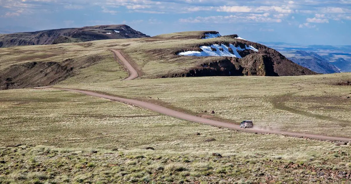
- The Steens Mountain Loop Road is a standard gravel road.
- Phone
- 541-573-4400
- Website
- blm.gov
- Managed by
- Bureau of Land Management.
- Established
- 1962.
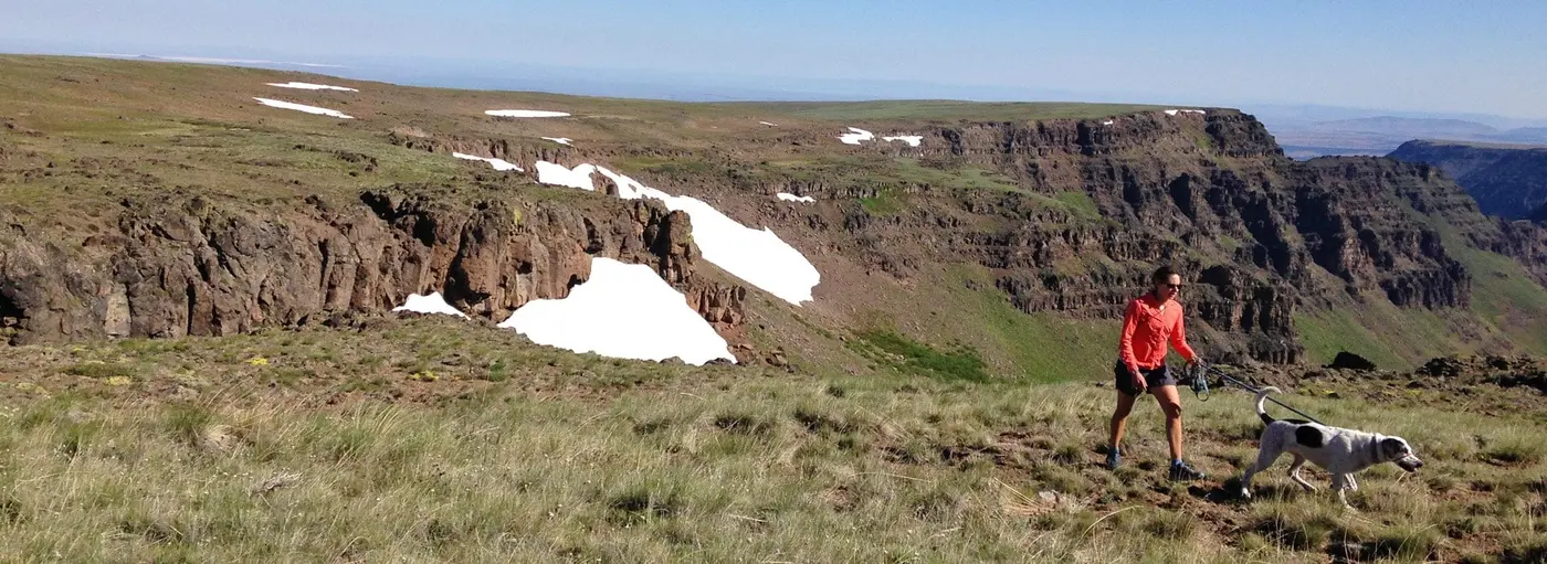
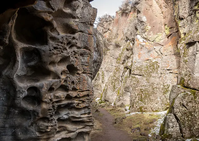
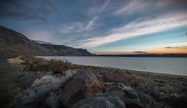
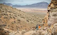
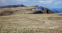
The Steens Mountain Loop Road is Oregon's highest elevation road and is generally open from early July to November. It affords visitor access to four developed campgrounds and overlooks at Kiger Gorge, East Rim, Big Indian Gorge, Wildhorse and Little Blitzen Gorge. The Loop Road also accesses the Riddle Brothers Ranch National Historic District.
Notable Events
- 1930The Civilian Conservation Corps built a road from Frenchglen up to Fish Lake, the beginnings of the Steens Mountain Loop Road. blm.gov
- 1962Construction of the remaining portion, delayed by World War II until the early 1960s, finished and the road was completed in 1962. blm.gov
- 1967E.R. Jackman and John Scharff published Steens Mountain, in Oregon's High Desert Country, with photographs by Charles Conkling. oregonencyclopedia.org
- 2000Congress designated the Steens Mountain Wilderness, now more than 170,200 acres managed by the Bureau of Land Management. blm.gov
- The Bureau of Land Management built a road from Frenchglen to the summit for livestock management, hunting, camping, and recreation. oregonencyclopedia.org
People
- Enoch Steen, Major for whom the U.S. Army named Steens Mountain (1860).
- John Work, Hudson's Bay Company fur trader whose description led early maps to call the mountain the Snow Mountains (1831).
Sources
- traveloregon.com/things-to-do/trip-ideas/scenic-drives/steens-loop-tour-route
- blm.gov/programs/recreation/recreation-activities/oregon-washington/steens-mountain
- blm.gov/programs/national-conservation-lands/oregon-washington/high-steens-wsa
- blm.gov/press-release/steens-mountain-loop-road-debuts-tripcheck
- tripcheck.com/Pages/Scenic-Byways-Steens-Loop
- fhwaapps.fhwa.dot.gov/bywaysp/byway/68916
- blm.gov/programs/recreation/recreation-activities/oregon-washington/steens-mountain
- oregonencyclopedia.org/articles/steens_mountain
- pubs.usgs.gov/bul/2183