
.jpg)
.jpg)
.jpg)
.jpg)
Christmas Valley Back Country Byway
Silver Lake, Lake County, Oregon. Back Country Byway.
Details

- Where
- Silver Lake, Lake County, OR. No street address stated. Directions
- Getting there
- From La Pine, Oregon: Take Hwy 97 South for two miles; turn left onto Hwy 31 South; follow Hwy 31 South for 30 miles. The Byway start at the intersection of Hwy 31 and County Road 5-10.
- Fees
- No fees.
- Access
- Paved and unpaved roads suitable to conventional passenger cars, as well as unpaved segments requiring high ground clearance.
- Phone
- 541-947-2177
- Managed by
- Bureau of Land Management.
- Coordinates
- 43.11583500000000, -120.86155100000001.
The byway begins where County Road 5-10 leaves Oregon Highway 31, thirty miles down 31 from its junction with U.S. 97 just south of La Pine. From there it runs 93 miles across northern Lake County. Some of the road is paved, some is gravel fit for an ordinary passenger car, and some unpaved stretches need high clearance. The Federal Highway Administration’s listing allows three hours for the drive. The Bureau of Land Management manages the route from its Lakeview District office and charges no fee. It asks drivers to check weather and road conditions first and to carry maps, plenty of water and fuel, a spare tire, a jack, tools, a shovel, and a blanket. The country is the northwestern corner of the Great Basin: sagebrush, an occasional juniper, and, by a 2020 Capital Press account, about one person per square mile in Lake County.
Fort Rock and the sandals under the ash
The first landmark is Fort Rock, a ring of volcanic tuff rising from an old lake bed above the small town that shares its name. The marker at Fort Rock State Park gives its height as about 325 feet at its highest point and its diameter as about a third of a mile. Waves from a lake that once covered the valley cut the outer cliffs, many of them over 200 feet high. Driven by prevailing southwest winds, those waves also breached the southwest wall, and wave-cut terraces show at both ends of the cliffs on the open side. Visitors walk the floor of the bowl, and social trails climb to the upper rim. “It is incredibly quiet in the center of Fort Rock,” Makenzie Whittle wrote for The Bulletin in 2020. She found birds of prey there, and small, skittish rodents.
The sources disagree on the rock’s age. The BLM’s 1992 byway brochure says it formed 5 to 6 million years ago, when volcanic material erupted through an existing lake in a burst of steam and molten rock and left a ring called a maar. The park marker places it near the end of the Ice Age, 10,000 to 12,000 years ago, and says it may have formed in a few days or months. The Capital Press gives 50,000 to 100,000 years. The marker also says William Sullivan, a rancher who settled in Central Oregon in 1873, is believed to have named it for the fortlike look of its high circular walls. Stories of settlers using the rock as a defensive position against Indian attacks have appeared over the years. The marker notes that none has ever been substantiated.
Next to that marker stands one for Reuban A. “Reub” Long, 1898–1974. His family moved from Lakeview to Christmas Lake when he was two, and by twelve, the marker says, he and his horse “were out doing a man’s work.” He ran horses and Hereford cattle on thousands of acres of the Fort Rock country and was named Oregon Grassman of the Year in 1952. He and his wife, Eleanor, gave thirty acres to the state for the park. The marker carries his sayings, among them: “The reason I’ve been able to produce some fast horses out here is that where I graze them they have to feed at 30 miles an hour to get enough to eat.”
Fort Rock Cave lies at Beggarheel Butte. In 1938 Luther Cressman, a University of Oregon archaeologist and anthropologist, led an excavation there after meeting a local homesteader, Hazel Menkenmaier (née Penrose), who wanted to know what the cave might hold. Under a layer of ash from Mount Mazama, the eruption that made Crater Lake, his crew found sandals woven from sagebrush bark. Each source dates them differently:
- The 1992 brochure calls them over 9,000 years old.
- The park marker gives more than 10,000 years by radiocarbon and calls them the oldest evidence of human habitation in Oregon.
- The Capital Press says that after several years of debate and eventual radiocarbon dating they proved to be 9,000 to 11,000 years old, the oldest footwear ever discovered.
Another marker counts more than 70 sandals from caves around the basin, along with mats, baskets, arrowheads, spear points, scrapers, gravers, and stone fish-net weights.
In the town, the Fort Rock Homestead Village Museum gathers cabins, the Sunset School building, the Stratton House, and other structures moved in from claims around the basin. It is open May through the end of September. The Capital Press dates the museum to 1984, when a group of eight people began moving abandoned buildings into town. The 1992 brochure says the Fort Rock Historical Society began work on a museum in 1989. Markers along the boardwalk show the Fort Rock School in 1911 and Penrose’s blacksmith shop in 1910, “always a busy place.” They also quote the Silver Lake Leader of 1911: “Every stage and every automobile licensed to carry passengers brings its quota of new settlers who are hurrying to file on a piece of government land before it is too late.”
Lava fields, a lookout, and Crack-in-the-Ground
Six miles east of Fort Rock, by the 1992 brochure, the byway continues east on Lake County Road 5-12 while 5-10 turns south toward Christmas Valley. Where the blacktop ends, the route follows 5-12 north as gravel. The Devils Garden Lava Flow, a Wilderness Study Area since November 1980, is mostly pahoehoe, lava that cools to a relatively smooth surface. At its center is a patch the lava never covered, the Devil’s Garden. Eight miles north of the byway, near the Deschutes Forest boundary, a short spur reaches Derrick Cave, a lava tube about 30 feet high and a quarter mile long. At the junction with Sinks Road the route turns east on 5-12B, past a flow of aa lava, sharp and blocky.
The byway then climbs Green Mountain on BLM road 6109 C, which the brochure does not recommend for low-clearance vehicles. The alternate is to stay on 5-12B until it meets County Road 5-14C. The fire lookout on top welcomes visitors unless fire operations are under way. A small camp nearby has no water or sanitary facilities, and neither does the lookout. East of the mountain, four cinder cones give the Four Craters Lava Flow its name.
Crack-in-the-Ground runs about two miles southeast from that volcanic field. The 1992 brochure says it formed 1,000 years ago, when a basalt layer from earlier eruptions collapsed during the Four Craters eruptions, and it gives the depth as 40 feet. The Capital Press found sections reaching 70 feet, up to 20 degrees cooler than the surface. In places the fissure is wide enough for a small truck. Elsewhere hikers twist sideways to squeeze through, scramble over boulders, and slide down to the floor. Stinging nettles grow along the way. The trailhead is a wide spot and a vault toilet on gravel Crack in the Ground Road, seven miles from Christmas Valley.
Pumice dunes and the Lost Forest
An alternate loop reaches Fossil Lake, the dunes, and the Lost Forest. The Capital Press puts the dunes 30 miles east of Christmas Valley, at the end of a long gravel road that is not maintained in winter. Ten thousand years ago, by the 1992 brochure, flamingos and mammoths lived on the shore of Fossil Lake, and ancient relatives of salmon swam in it. The lake bed is closed to motor vehicles. Visitors may walk it and look at fossils, but federal law forbids collecting vertebrate fossils without a permit.
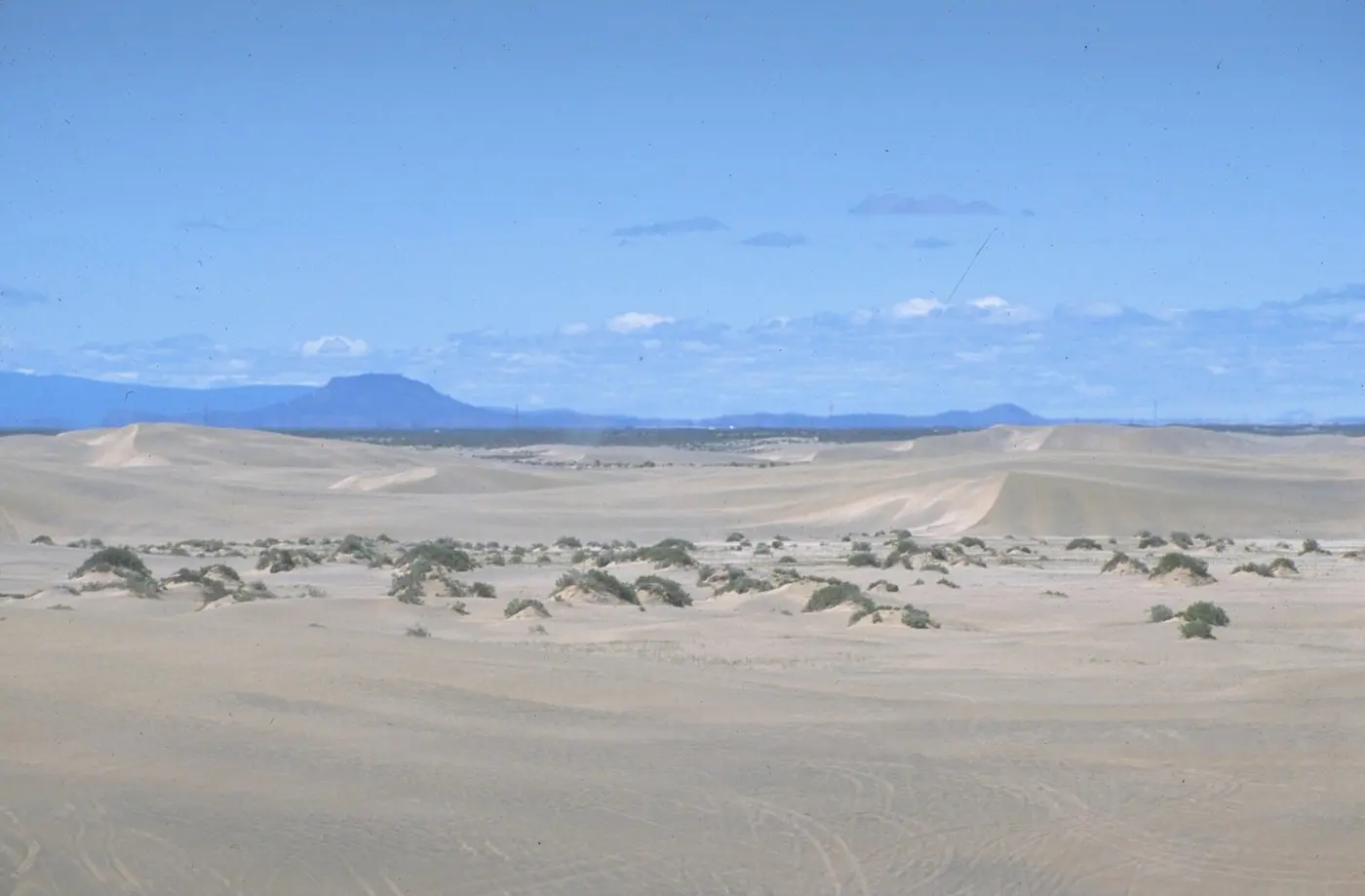
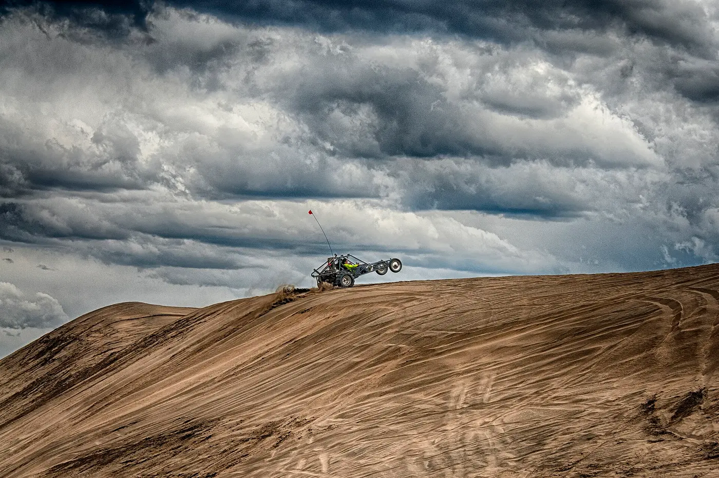
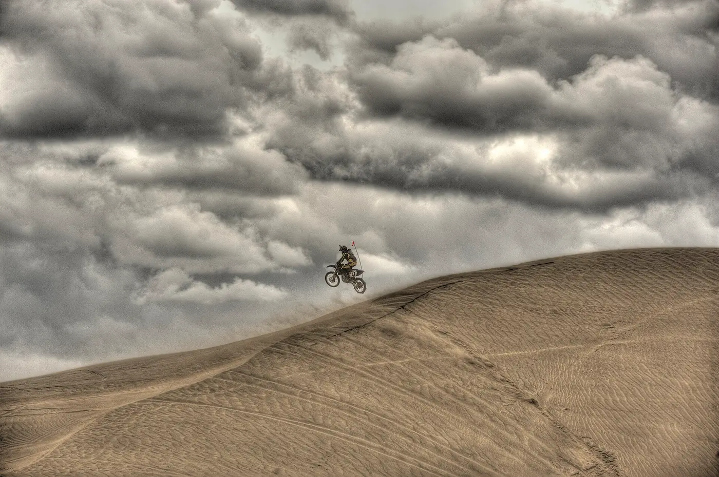
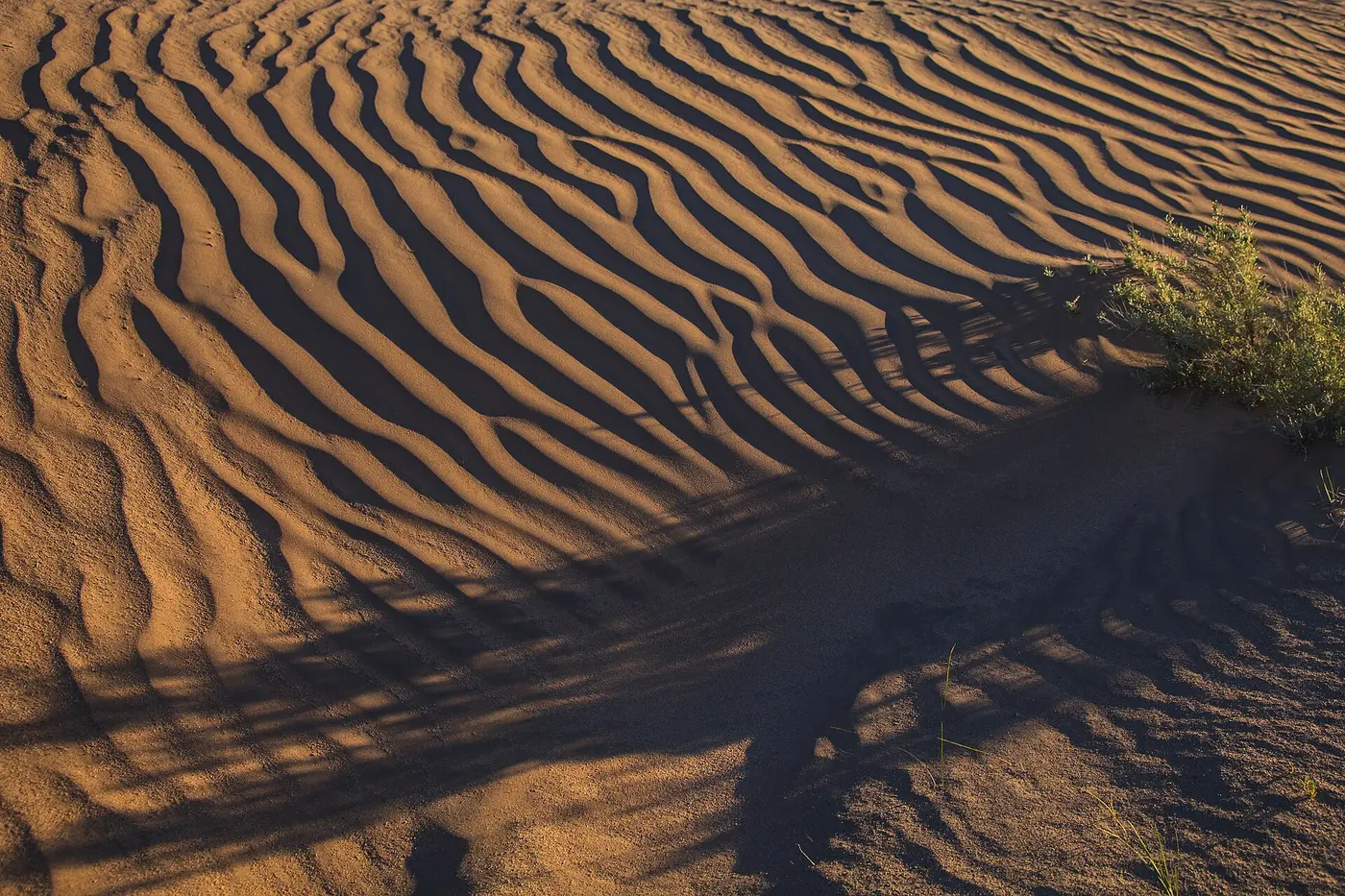
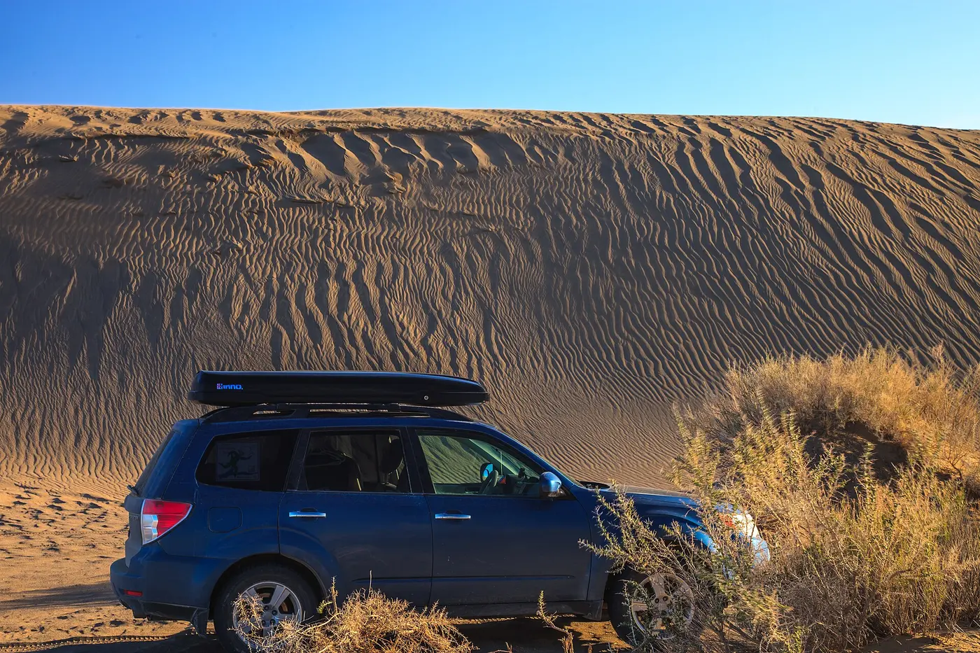
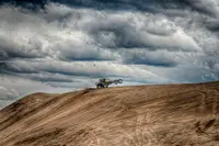
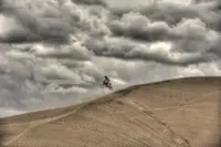
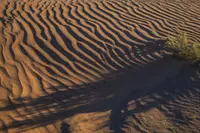
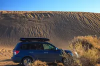
The dunes rise over 60 feet. They are built largely of ash and pumice that blew in when Mount Mazama erupted 7,000 years ago. The brochure places them inside a 16,000-acre Wilderness Study Area, with about 10,000 acres of dunes open to vehicles. The Capital Press gives 11,000 acres and calls them the largest inland shifting dune system in the Pacific Northwest. It reports thousands of off-highway vehicles on holiday weekends, and permits are required for OHV use on the dunes.
Beside the sand stand the pines of the Lost Forest Research Natural Area, 8,960 acres set aside in 1972. The forest sits at the eastern edge of the basin, 40 miles from the nearest contiguous ponderosa forest. Ponderosa typically needs at least 14 inches of rain a year, and the Lost Forest gets about 9.5. The BLM’s Lost Forest brochure names deep sandy soil as the major factor in the pines’ survival. There is no surface water, yet jackrabbits and mule deer are commonly seen, with pronghorn along the edges. Bobcat and badger hunt at night, and golden and bald eagles occasionally pass over.
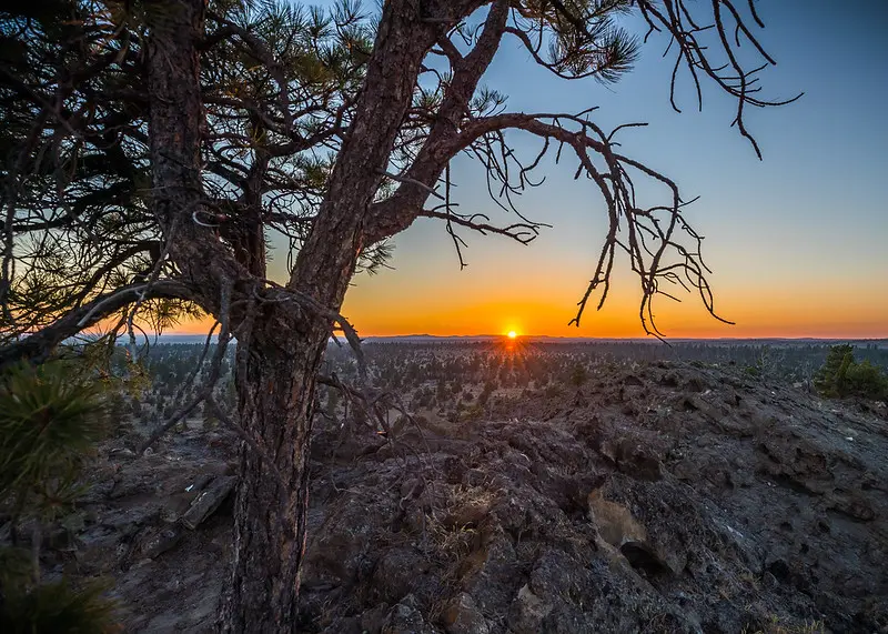
Homesteaders cut these pines for houses, corrals, and firewood, and timber sales followed in 1949 and 1955. Since 1972 the forest has been closed to timber harvest. Vehicles keep to roads posted open, and no wood may be cut or gathered. A BLM photograph shows sunset from atop Sand Rock in the Lost Forest.
Farther on, the Black Hills Interpretive Site has a parking area, fencing, and a sign, reached on foot or by four-wheel drive. It is a common starting point for day hikes and photography. The soils of the hills support two rare low-growing perennials, snowline cymopterus and Cusick’s buckwheat, protected by a vehicle closure. The 1992 brochure also points out a backscatter radar site, used to detect low-flying aircraft approaching the United States from the Pacific. It also names Table Rock, a basalt volcanic core inside a maar much like Fort Rock.
Chrisman’s lake and Phillips’s lodge
Christmas Valley, about 1,300 people, stretches more than five miles along Lake County Highway 5-14 and rarely reaches more than half a mile back from it. That description comes from Jeff LaLande in the Oregon Encyclopedia. In 2025, by his count, the town had two stop signs and no traffic lights. It also had a post office first built in the early 1960s, a credit union, a church, a county health clinic, and a small park. The Capital Press found a couple of cafes and a few shops, along with a golf course, a lake, an airstrip, and an A-frame lodge that is now a restaurant. Alfalfa grows in the surrounding fields. A marker at Fort Rock credits deep-well irrigation, developed in the 1960s, with making agriculture pay, and says the hay ships as far as Japan.
The name is older than the town. In the 1870s the cattleman Peter Chrisman built a cabin near a seasonal alkali lake about six miles northeast of the present townsite. Chrisman or Christman Lake had become Christmas Lake by 1877, and LaLande writes that the name may have begun as a spelling error. Bands of Northern Paiute gathered plants, hunted, and held jackrabbit drives in the valley, which LaLande says had long been their home. The marker at the Fort Rock museum says they came to the basin only around 500 years ago. White stockmen arrived in the 1860s and 1870s, and cattle led. Sheep became important in the 1890s, until the “sheep-shooting war” of 1900–1905, when vigilante cattlemen captured herders and killed thousands of sheep.
The homesteaders came next. The Lost Forest brochure counts 120 homesteads in the basin by 1906, with a post office at Cliff. Wet years drew hundreds of would-be farmers from about 1905. After 1909 the Enlarged Homestead Act drew more, allowing a 320-acre claim for building a residence and cultivating 40 acres. The Capital Press puts the peak in 1912. Settlers built cabins, dug wells, grubbed out sagebrush, and sowed grain. Killing frosts and the dry years after 1915 defeated them, and by 1920 most were gone. In the museum marker’s words, they left “the bleached remains of shattered homes.”
The ZX Ranch of Paisley bought abandoned claims cheaply in the 1920s and 1930s, and its cattle sought shade in the shadows of the empty cabins. In 1938 the Bankhead-Jones Act revested the land in federal ownership. The post office at Lake, within the present town, lasted until 1943.
In 1960 M. Penn Phillips came north. He was a California developer of desert towns such as Hesperia and Salton City and had, LaLande writes, a reputation for misleading investors and shoddy construction. He bought sagebrush from the ZX and others, 90,000 acres by the Capital Press count. He named the place Christmas Valley and surveyed a townsite for 5,000 people. Construction began in 1961:
- several model homes
- a 5,000-foot airstrip
- a golf course
- a Mid-Century-Modern-style lodge, said to have cost over $90,000, facing an artificial lake now called Baert Lake
Magazine advertisements sold inexpensive second homes and the “rugged West.” The development company printed its own paper, the Christmas Valley Gazette, starting in March 1962. A state investigation of falsified property-tax evaluations followed, along with buyers’ suits for fraud. Most lots went to out-of-state speculators who never built. LaLande puts the population at about 150 by the end of the 1960s, with Phillips long gone. The Capital Press says Phillips abandoned the venture by 1973, after only 150 people had moved in.
The paved streets stayed. Cheap lots drew a trickle of newcomers, and mobile homes and small houses went up in the 1980s. The byway was designated in 1989 and now brings a steady stream of summer visitors through town, past street names left from Phillips’s scheme: Jingle Bell Road, Snowman Road, Mistletoe Road, and Holly Street.
Notable Events
- 1862The Homestead Act let heads of households, widows and single people over 21 purchase 160 acres at $1.25 per acre, or by paying a $15 filing fee after 5 years of residence and cultivation. hmdb.org
- 1870sCattleman Peter Chrisman built a cabin near a seasonal alkali lake northeast of the present town. oregonencyclopedia.org
- 1905The first settlement in the Fort Rock area dates to 1905. npshistory.com
- 1909Congress passed the Enlarged Homestead Act of 1909, and many of the first homesteaders in this region arrived after it. hmdb.org
- 1912Homesteaders first began arriving in the late 19th and early 20th centuries, peaking in 1912. capitalpress.com
- 1920Drought and failed crops drove most of the new homesteaders away by 1920, leaving the bleached remains of shattered homes. hmdb.org
- 1938Dr. Luther Cressman discovered sagebrush sandals and other artifacts more than 9,000 years old at Fort Rock Cave. npshistory.com
- 1938Congress passed the Bankhead-Jones Act, which revested the land in federal ownership. npshistory.com
- 1949Timber sales occurred in the Lost Forest in 1949 and 1955, before its designation as a research natural area. npshistory.com
- 1952The desert cowboy and conservationist was named Oregon Grassman of the Year in 1952. hmdb.org
- 1960sThe development of deep-well irrigation technology in the 1960s made agriculture profitable. hmdb.org
- 1972The Lost Forest Research Natural Area was established in 1972 to preserve a unique example of relict ponderosa pine within a region of sagebrush-steppe. npshistory.com
- 1973By 1973 Penn Phillips abandoned the venture after only 150 people had come to live in his development. capitalpress.com
- 1980The Devils Garden Lava Flow was designated as a Wilderness Study Area. npshistory.com
- 1984Abandoned homesteads stood vacant around the basin until 1984, when a group of eight people began moving many of the buildings to the town of Fort Rock to preserve the area's history. capitalpress.com
- 1989The Fort Rock Historical Society began work on a museum to relate area history. npshistory.com
- 1989The Christmas Valley Back Country Byway was designated in 1989. oregonencyclopedia.org
- 9000Around 9000 years ago the arid-loving sagebrush had replaced much of the marsh grasses, and human habitation in the caves is thought to have continued for more than 11,000 years. hmdb.org
- It was only around 500 years ago that the Northern Paiute came to the Fort Rock Basin. hmdb.org
- A basalt layer deposited by earlier eruptions collapsed during the Four Craters eruptions, forming the nearly two-mile-long crack. npshistory.com
- Volcanic material erupted through a lake in an explosive burst of steam and molten rock, leaving a ring of material called a maar. npshistory.com
- Flamingos, mammoths, and other Pleistocene animals lived along Fossil Lake, and ancient relatives of salmon swam there. npshistory.com
People
- Hazel Menkenmaier, local homesteader whose interest in the cave brought Luther Cressman to excavate Fort Rock Cave (1938).
- Penn Phillips, real estate developer who bought land in Christmas Valley to build a resort community for retirees and aspiring farmers, with an airstrip, golf course, lake and A-frame lodge.
- Reuban A. "Reub" Long, lifelong cowboy of the Oregon desert whose family moved from Lakeview to Christmas Lake when he was two, and who with his wife Eleanor donated thirty acres to the state for Fort Rock State Park (1898-1974).
- William Sullivan, rancher who settled in Central Oregon and is believed to have named Fort Rock because its high rocky walls and circular formation gave it the appearance of a large natural fort (1873).
- Dr. Luther Cressman, Discoverer of sagebrush sandals and artifacts at Fort Rock Cave (1938).
- Peter Chrisman, Cattleman whose name may underlie the Christmas place name (1870s).