

.jpg)
Blue Mountain Scenic Byway
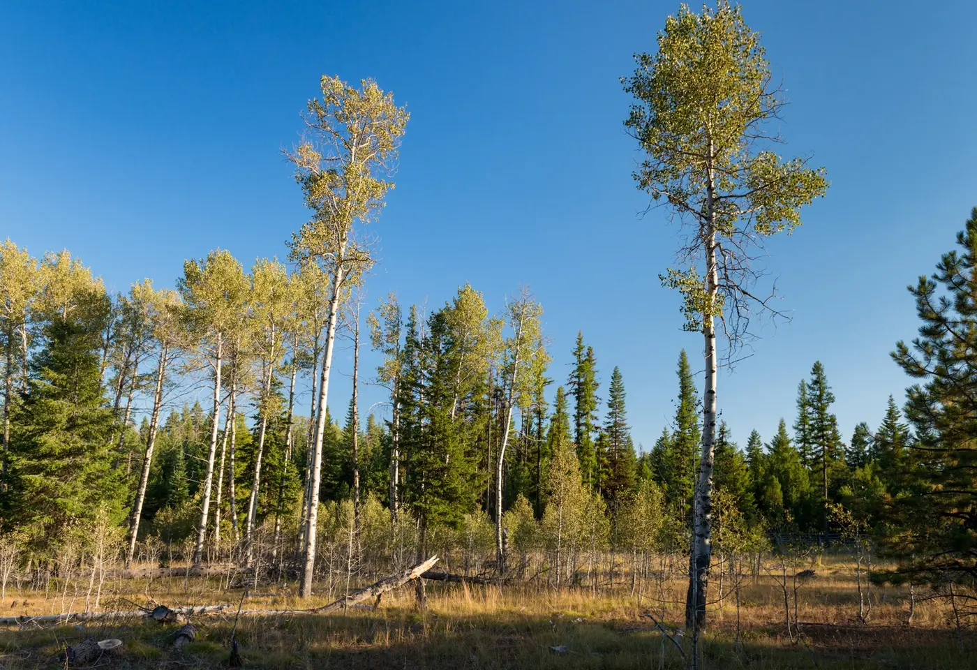
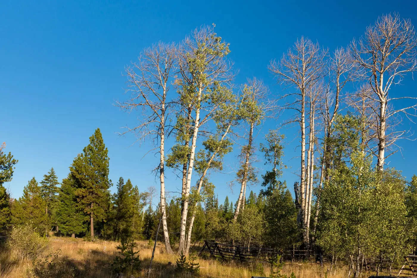
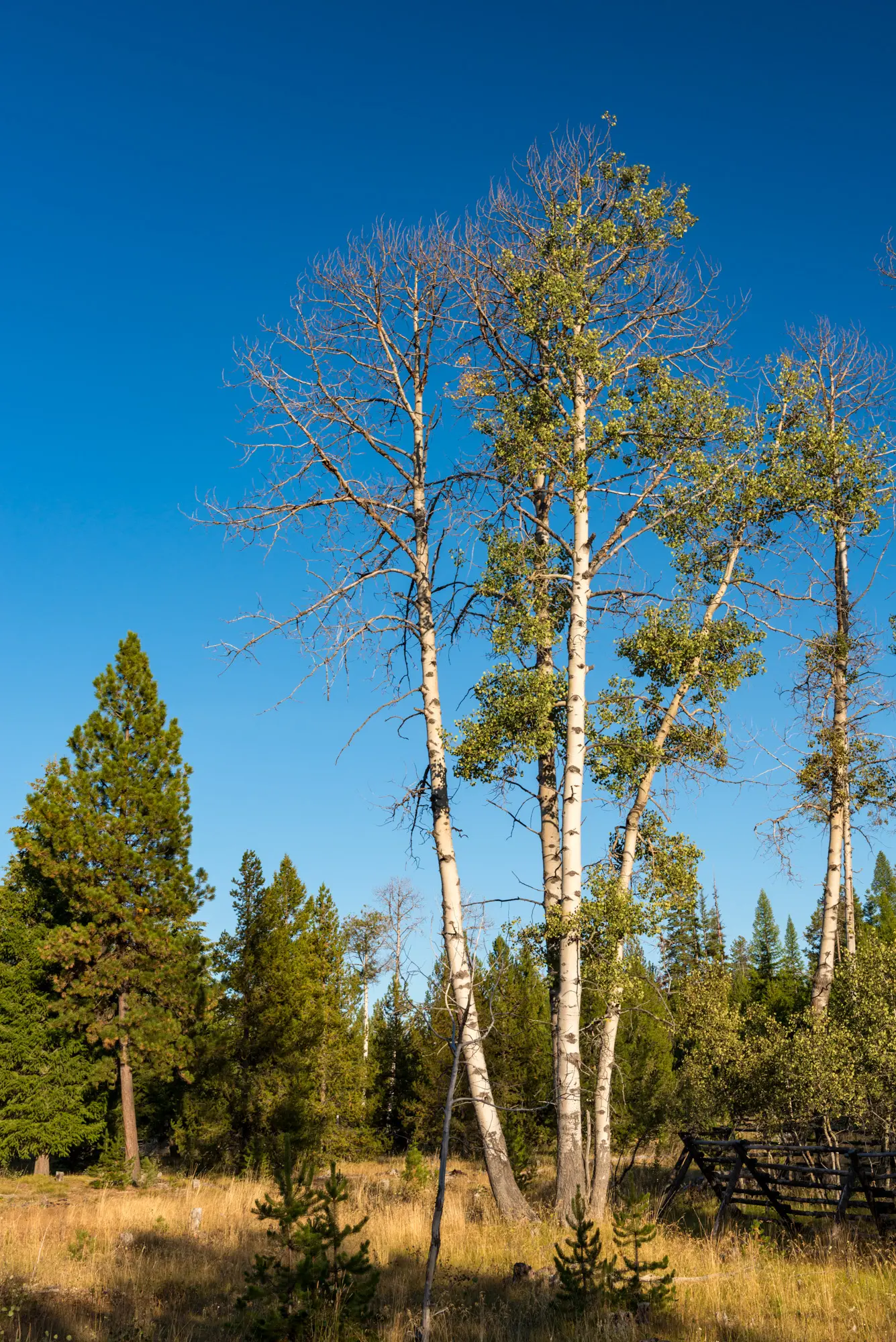
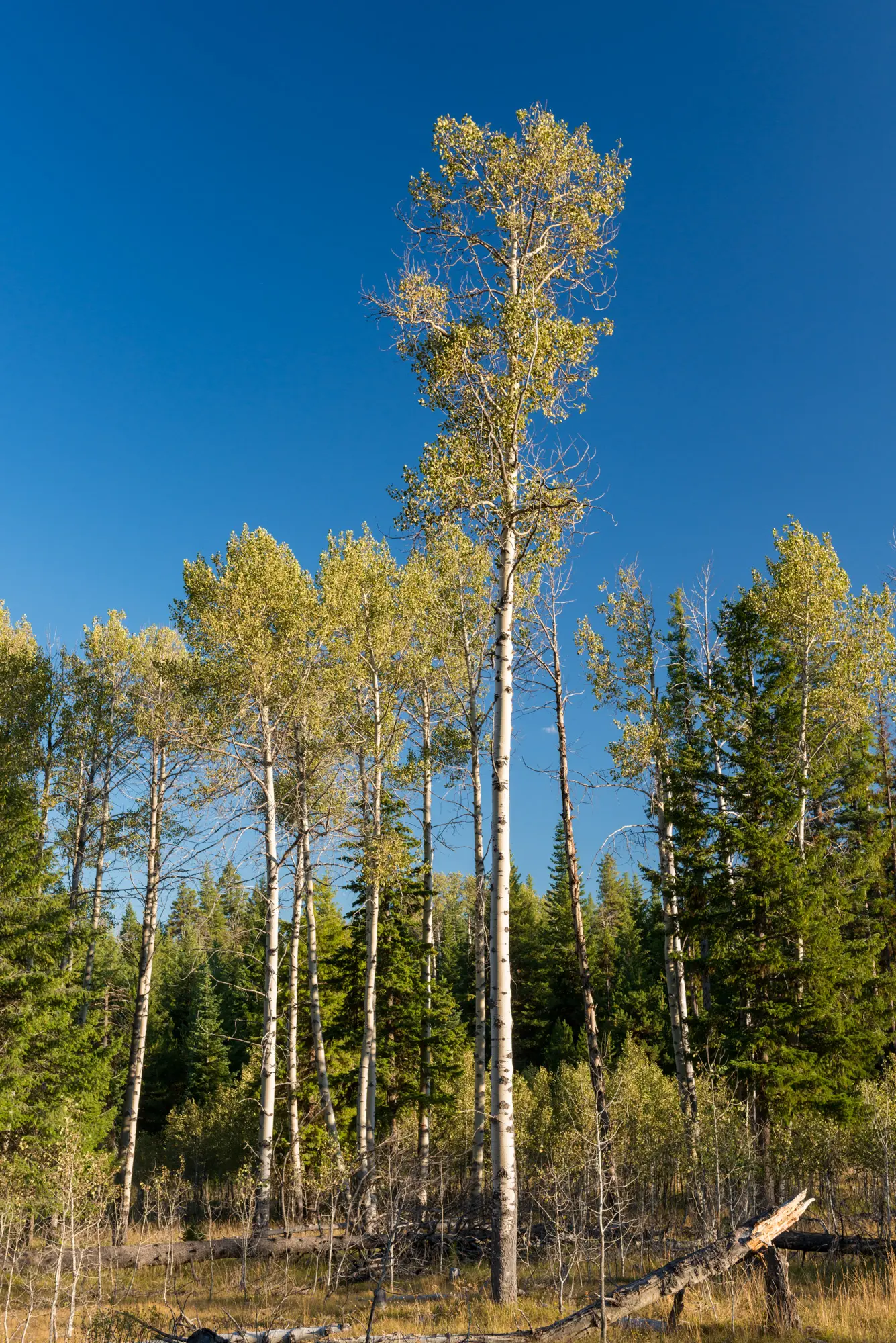
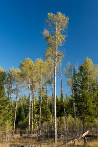
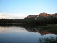
Heppner, Morrow, Umatilla County, Oregon. Scenic byway; Late May.
Details

- Where
- Heppner, Morrow, Umatilla County, OR. No street address stated. Directions
- Getting there
- between the Columbia River near Arlington and Baker City, Oregon.
- Access
- The Byway is typically inaccessible from late fall through early spring due to snow.
- Phone
- (541) 278-3716
- Website
- fs.usda.gov
- Managed by
- Umatilla National Forest.
- Established
- 1989.
- Coordinates
- 45.7861, -120.0385.
Oregon Route 74 leaves Interstate 84 at Heppner Junction, between Arlington and Hermiston, and turns south along Willow Creek. This is the western portal of the Blue Mountain Scenic Byway. The first miles run through wheat and canola fields and ranches, with hillsides dotted with livestock. They pass the Willow Creek Wildlife Area, which gives habitat to upland game birds and waterfowl. From here the byway runs diagonally across the northeastern corner of the state to the North Fork John Day Campground. Travel Oregon says the route “cuts the corner” of Interstate 84.
The Umatilla National Forest manages the road and gives its length as 130 miles of paved two-lane road across Morrow and Umatilla counties. TripCheck, Travel Oregon and the National Scenic Byway Foundation give 145 miles. The drive takes three to four hours. Travel Oregon warns that there are no gas stations between Heppner and Granite. Snow closes the higher elevations. The Forest Service says the road generally opens in late May and closes in mid-November, and asks travelers in the closed months to call the ranger district rather than trust GPS. Both TripCheck and Travel Oregon name spring and fall as the best seasons, since summer days can run hot.
Willow Creek and the sheep-station towns
Willow Creek, near the town of Cecil, was a popular stopping place on the Oregon Trail. By Travel Oregon’s account, “thousands upon thousands” of wagons passed through what is now Cecil in the 1850s, pulled by oxen and mule teams, carrying settlers bound for the Oregon Territory. An Oregon Trail marker points 13 miles east to an information kiosk at Wells Springs, where deep wagon ruts still furrow the earth.
Farther up the creek lie Ione and Lexington. Both towns began as sheep stations in the 1800s, and both keep classic examples of frontier architecture. Heppner is nine miles beyond Lexington.
Heppner and its courthouse clock
Heppner is the Morrow County seat. The city places itself in a narrow valley 50 miles south of the Columbia River and calls itself the “Gateway to the Blues.” Highway 74 cuts through downtown.
A historic walking tour covers several turn-of-the-century buildings, among them the 1902 bluestone county courthouse. Its clock tower was converted to an electronic mechanism in the 1950s. It has since been restored to its original weighted pendulum, which has to be wound every eight days. The city also offers the Talking Rocks of Heppner, a walking tour of the town’s history and heritage.
The Morrow County Museum holds pioneer, homestead and agricultural artifacts. It also chronicles the flood of 1903. The city says the flood “swept through town, leaving death and destruction in its path.” Travel Oregon calls it the deadliest natural disaster in Oregon to date.
The city lists what its kitchens serve: pizza, burgers, barbecue pulled pork, tacos and elephant ears. Willow Creek Lake, a mile from downtown, takes boats and anglers, and four streams near town also hold fish. The surrounding country draws hunters and off-highway-vehicle riders. At 1,800 feet, Heppner often gets winter snow, which brings snowmobiling and skiing. The city describes Highway 74 continuing over the mountains to Ukiah and La Grande, and gives the drive a second name, the Blue Mountain Century Scenic Bikeway.
Forest Road 53 to the North Fork
South of Heppner the byway follows Willow Creek Road through hills and canyons. The road narrows and twists, crosses from Morrow into Umatilla County, and climbs on Forest Service Road 53 into the Umatilla National Forest, 1.4 million acres of pine and fir. TripCheck notes that the forest is recovering from a wildfire and an insect epidemic.
Cutsforth Park sits at the forest boundary, with a campground, cabins for rent and equestrian trails. The Coalmine Hill day-use area gives access to several hiking and horseback trails. A half-hour side trip south on Forest Roads 5327 and 5316 reaches Potamus Point, which looks over the canyon of the Wild and Scenic North Fork John Day River. Bighorn sheep have been reintroduced into the canyon.
The fir and pine then give way, and the road descends into the basin at Ukiah. Travel Oregon writes that the basin once held a lake, drained for good by an ancient earthquake. TripCheck gives the Indian legend, in which the lake was emptied by a “great rumbling” that happened “many moons ago.” Ukiah was first called Camas Prairie, after the bright-blue camas that covers the ground in spring. Native people have long come here to dig camas root, a traditional food staple.
Past U.S. Route 395 and the Camas River, Road 53 climbs into the forest again. Four miles beyond Ukiah is the Bridge Creek Wildlife Area. More than 1,000 elk gather there between December and May to escape the deep snow higher up. TripCheck calls the herd one of the largest herds of Rocky Mountain elk in the nation, and a short trail leads to a vantage point over the wintering grounds.
About nine miles east, an overlook opens onto the North Fork John Day drainage. TripCheck names the views as the John Day Wilderness to the north and the Strawberry Mountain Wilderness to the south. Travel Oregon identifies the North Fork John Day Wilderness, established in 1984, which protects the headwaters of the John Day River, the third longest undammed, free-flowing river in the Lower 48. Campgrounds and trails follow the North Fork John Day and Camas rivers, and anglers fish them for rainbow trout and steelhead.
The byway ends at the North Fork John Day Campground, where the Elkhorn Drive Scenic Byway crosses it. From there travelers have three ways on:
- Forest Service Road 73 runs east through Anthony Lakes to Haines.
- Another route runs south through the mining towns of Granite and Sumpter toward Baker City.
- Forest Service Road 51 runs north along the Grande Ronde River to La Grande.
A designation in 1989, a name from smoke
The Forest Service designated the road under the National Scenic Byway Program in 1989, as an east-west alternative between the Columbia River near Arlington and Baker City. In 1993 the Blue Mountain Scenic Byway Interpretation and Visitor Services and Implementation Guide laid out a sequence of interpretive services and visitor accommodations along the route. In 1997 the byway became an Oregon State Scenic Byway, through the work of the Umatilla National Forest Rural Community Assistance Program. Since then, according to Morrow County, ODOT’s Engineering Services unit and the Blue Mountain Scenic Byway Action Group have put up the signs and markers and printed the travel brochures.
The range itself rises to more than 9,000 feet. In the Oregon Encyclopedia, Marli Miller writes that the landscape formed as the bedrock eroded while it was uplifted over about the last 15 million years. The USGS reads the region as a complex island-arc terrane that was joined to ancient North America in the late Mesozoic. A later batholith intruded it, and Cenozoic volcanic rock covered it before uplift and erosion stripped part of that away.
Native peoples were in these mountains long before the wagons. The Cayuse lived for millennia in the western and central Blues. Tenino, Umatilla and Northern Paiute lands reached deep into the region along the John Day and Umatilla rivers. Beginning in the early eighteenth century, the Cayuse, Umatilla and Nez Perce had horses. They fished the rivers and gathered berries and plants on seasonal rounds, and they burned the land widely to clear underbrush and increase food. According to the encyclopedia, the smoke from those fires cast a blue haze over the mountains and gave them their name.
Notable Events
- 1850sThe Oregon Trail passed through what is now Cecil on the byway's corridor, with thousands of pioneer wagons pulled by oxen and mule teams making their way west in the 1850s to settle the Oregon Territory. traveloregon.com
- 1989The Forest Service designated the Blue Mountain Scenic Byway under the National Scenic Byway Program. fs.usda.gov
- 1993The Blue Mountain Scenic Byway Interpretation and Visitor Services and Implementation Guide was created to guide development of interpretive services and visitor accommodations along the byway. morrowcountyor.gov
- 1997The byway achieved Oregon State Scenic Byway status through the efforts of the Umatilla National Forest Rural Community Assistance Program. morrowcountyor.gov
Sources
- fs.usda.gov/r06/umatilla/recreation/blue-mountain-scenic-byway
- nsbfoundation.com/sb/blue-mountain-scenic-byway
- traveloregon.com/things-to-do/trip-ideas/scenic-drives/blue-mountains-scenic-byway
- cityofheppner.org
- morrowcountyor.gov/planning/page/blue-mountain-scenic-byway
- oregonencyclopedia.org/articles/blue_mountains
- tripcheck.com/Pages/Scenic-Byways-Blue-Mountains
- pubs.usgs.gov/pp/1435/report.pdf