
Rogue-Coquille Scenic Byway
Gold Beach, Coos County, Oregon. Scenic byway.
Details

- Where
- Gold Beach, Coos County, OR. No street address stated. Directions
- Getting there
- Before entering downtown Gold Beach, and after crossing the Isaac Lee Patterson (a.k.a. Rogue River) Bridge, turn east on Jerry's Flat Road (SR-595), which becomes Agness Road (NF-33). The route parallels the Rogue River to Agness, where the Rogue is joined by the Illinois River. The two rivers form a gorge of incredible beauty.
- Fees
- None.
- Access
- Ten miles of this route (between Agness and Powers) is graveled, with some narrow, single-lane sections. Not recommended for large motor homes or winter travel.
- Phone
- 541-347-9616
- Website
- fhwaapps.fhwa.dot.gov
- Managed by
- Oregon Parks & Recreation Dept.; Siskiyou National Forest.
- Established
- 1992 (designated a Forest Service Byway).
This discovery drive provides scenic ocean views and an unforgettable experience of the true ruggedness and beauty of remote Oregon along its wild rivers and vast forests. The portion between Gold Beach and Myrtle Point is aptly named the Rogue-Coquille Scenic Byway.
Notable Events
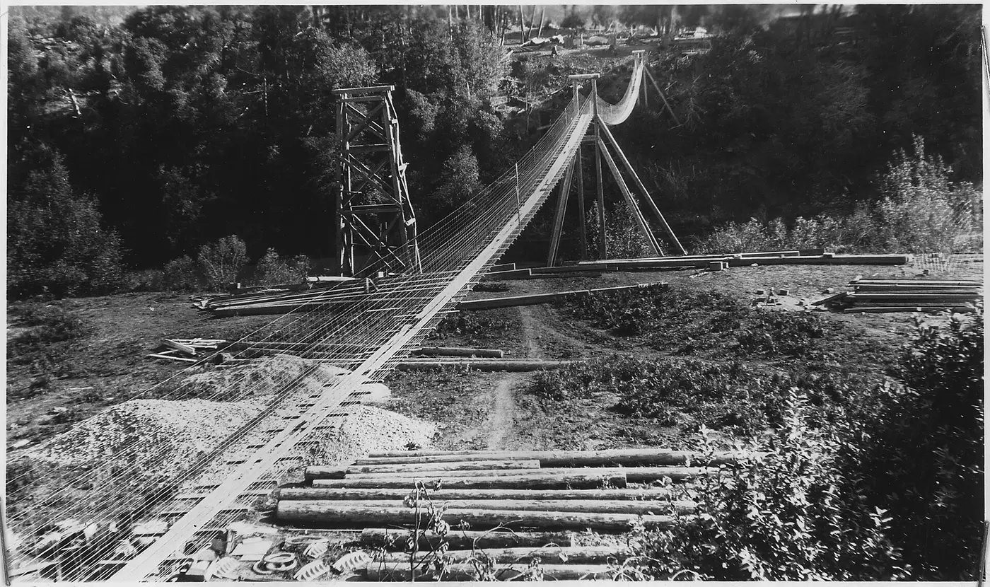
- 1933CCC enrollees began constructing a road from Gold Beach to Agness along the Rogue River's south bank. livingnewdeal.org
- 1935The 35 miles of National Forest Road 33 between Gold Beach and Agness were completed; Camp Agness crews continued north toward Powers. livingnewdeal.org
- 1992The Rogue-Coquille route was designated a Forest Service Byway. nsbfoundation.com
Sources
- bandon.com/rogue-coquille-scenic-byway
- commons.wikimedia.org/wiki/File:Forest_Service_Footbridge_at_Angess_-_NARA_-_298252.jpg
- fhwaapps.fhwa.dot.gov/bywaysp/byway/64107
- recreation.gov/gateways/13822
- nsbfoundation.com/sb/rogue-coquille-scenic-byway
- livingnewdeal.org/sites/agness-road-rogue-river-siskiyou-national-forest-or
- nsbfoundation.com/sb/rogue-coquille-scenic-byway