.jpg)
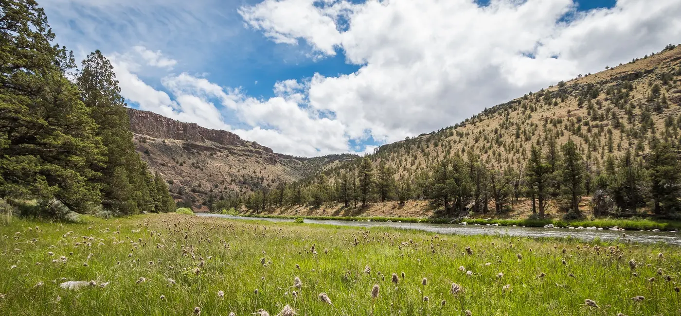
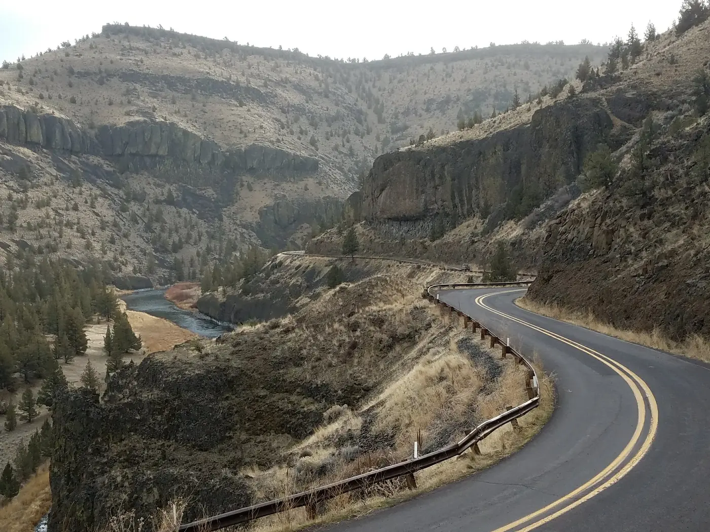
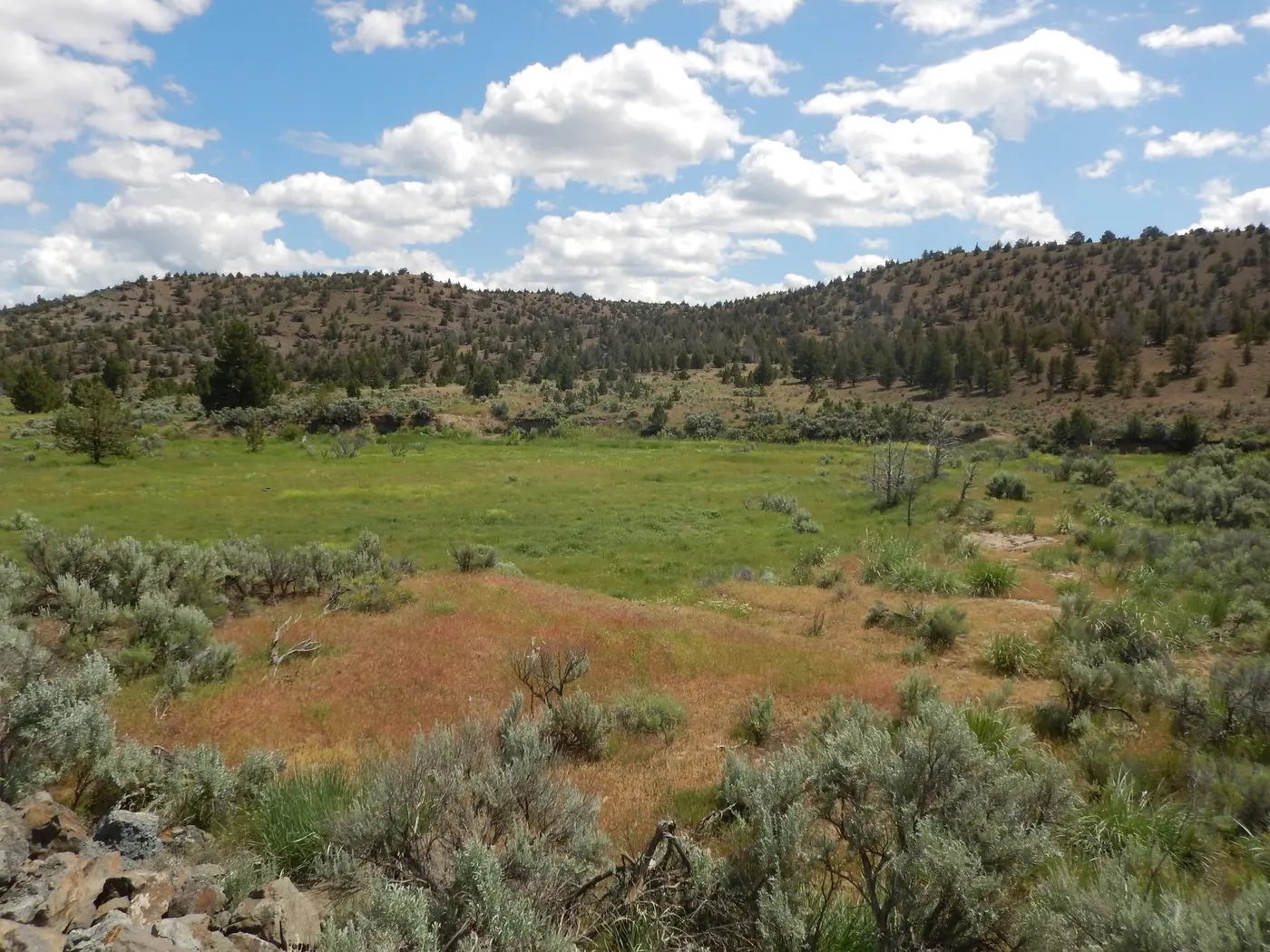
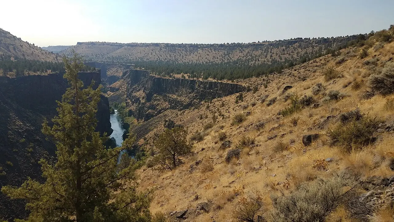
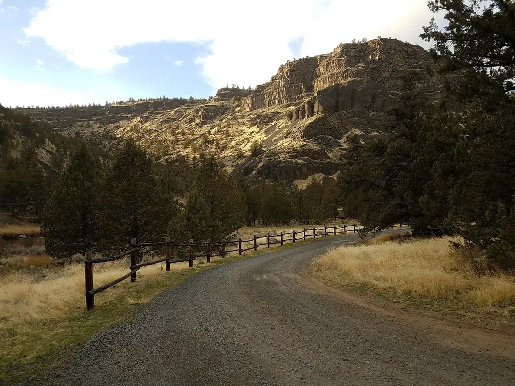
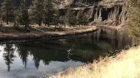
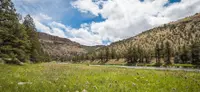
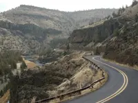
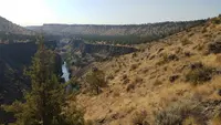
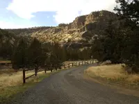
Lower Crooked River Back Country Byway
Prineville, Deschutes and Crook County, Oregon. Back country byway.
Details

- Where
- Prineville District Office 3050 NE 3rd Street Prineville Oregon 97754, Prineville, OR 97754. Directions
- Season
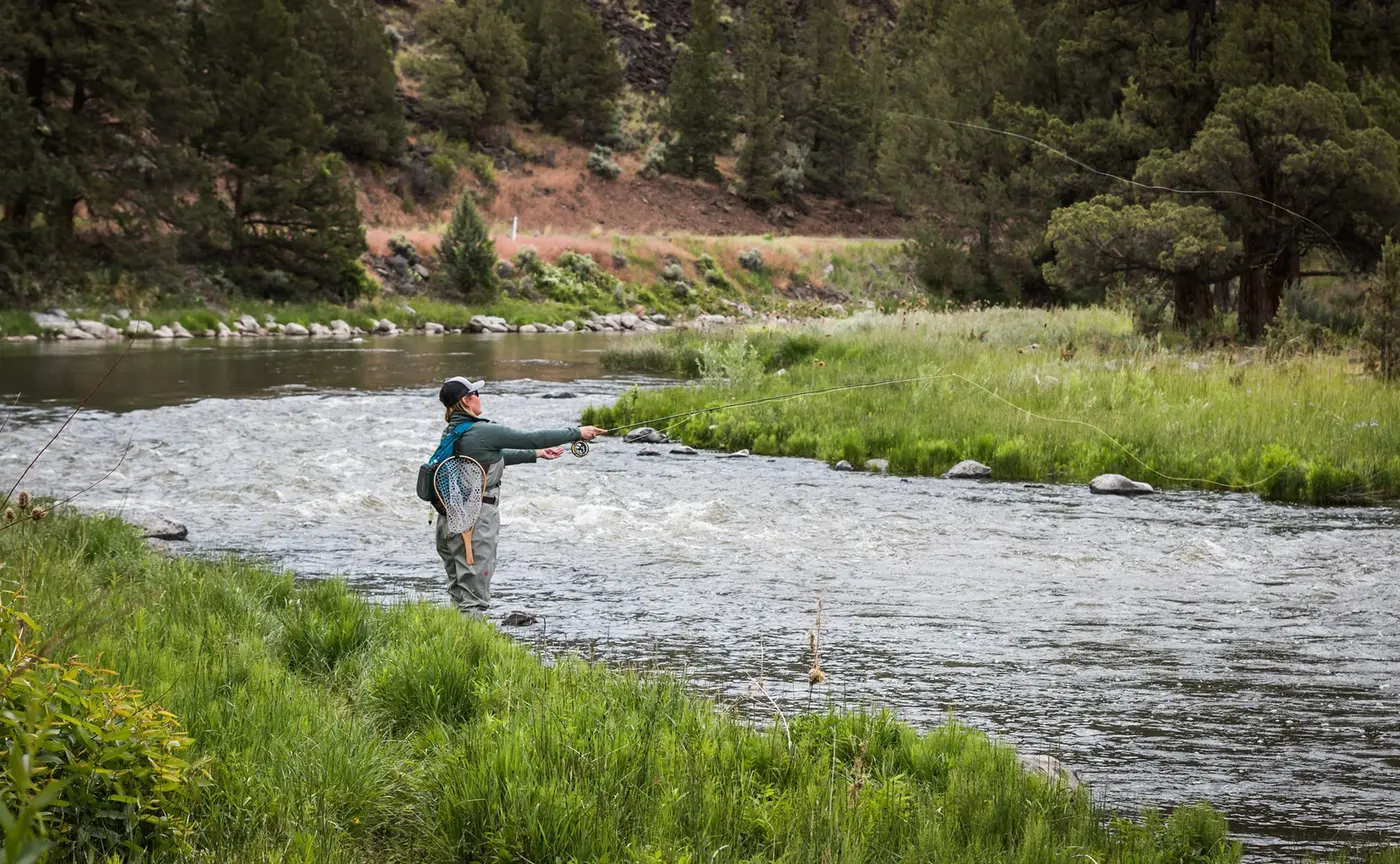
- access to camping, fishing and hiking opportunities are available year-round.
- Getting there
- From Bend, Oregon: Drive 33.3 miles east on State Highway 20.
- Fees
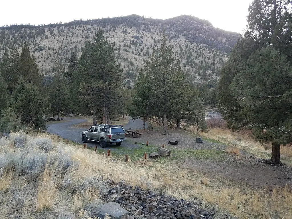
- No river use fees. Campsite fees: Single: $8/night, Group: $16/night, Extra car: $2.
- Access
- Fires are prohibited annually from June 1 through October 15 in the Lower Crooked River segment.
- Walk-in or reserve
- Nine non-reservable campgrounds and two day-use areas provide easy year-round access to the Chimney Rock segment south of Prineville, Oregon.
- Phone
- 541-416-6700
- Website
- blm.gov
- Managed by
- Prineville District Office.
An Oregon state highway located in Deschutes County and Crook County. OR 27 traverses the Crooked River Highway No. 14 of the Oregon state highway system. Known as the Lower Crooked River Back Country Byway, OR 27 has the distinction of being one of the only state highways in Oregon which is partially paved.
Notable Events
- 1871A post office was established in 1871 with William Heisler the first postmaster and it was named Prine in honor of Barney Prine. crookcountyhistorycenter.org
- 1877After receiving his deed, Monroe Hodges filed a town site plat on his homestead at the Wasco County seat in The Dalles on March 28, 1877. crookcountyhistorycenter.org
- 1880Prineville was incorporated in 1880, with a population at that time of about 400. crookcountyhistorycenter.org
- 1882Prineville was selected as the county seat for newly created Crook County in 1882, and Crook County then included all of Central Oregon. crookcountyhistorycenter.org
- 1911Prineville remained the main center of Central Oregon until the arrival of the railroad in 1911, when major commerce began to shift to communities along the railroad, such as Bend, Redmond and Madras. crookcountyhistorycenter.org
- 1911Construction of the railroad in 1911 necessitated a bridge over the Crooked River Gorge, with the river 860 feet below; at the time it was the seventh highest structure of its kind in the world and the highest cantilevered arch in the United States, and when the first train crossed on September 17, 1911, only half of the rivets were in place. nuggetnews.com
- 1916Hopes for a railroad through Prineville were dashed when the Oregon Trunk Railway was built along the Deschutes without a service line to the town, so voters authorized the sale of $322,000 worth of municipal bonds in 1916 to connect Prineville with the Oregon Trunk; the line was built but was a financial disaster for the community. oregonhistoryproject.org
- 1917The first successful wide-scale irrigation effort led local landowners to form the Ochoco Irrigation District, raise bonds, and build a dam on Ochoco Creek in 1921. oregonencyclopedia.org
- 1956With the help of Oregon senators Wayne Morse and Richard Neuberger, Crook County landowners and officials persuaded Congress to authorize and fund the Crooked River Project. oregonencyclopedia.org
- 1957After thirty-five years of lobbying, Crook County farmers and ranchers succeeded when Congress approved the Crooked River Project. oregonencyclopedia.org
- 1961Construction on the dam on the Crooked River was completed after LaSelle Coles and local farmers and legislators promoted the project. crookcountyhistorycenter.org
- 1962The operation of Prineville Reservoir water storage and Bowman Dam was turned over to the Ochoco Irrigation District. crookcountyhistorycenter.org
- 1988All three reaches of the Crooked River were designated as Wild and Scenic in the Omnibus Oregon Wild and Scenic Rivers Act of 1988. blm.gov
- 1989The BLM Scenic and/or Back Country Byway roster lists OR Lower Crooked River with a designation date of 09/26/89, BCB Type I, 43 miles. web.archive.org
People
- LaSelle Coles, Ochoco Irrigation District manager in the 1950s who, with local farmers and area legislators, promoted construction of the Crooked River Project (the 1950s).
- Frances Barney Prine, settled along the banks of the Crooked River with a blacksmith shop, saloon and store, and gave his name to Prine and then Prineville (1868).
- Isaac Bostwick, neighbor of Barney Prine from Linn County, one of the first settlers at the site that became Prineville.
- Monroe Hodges, bought Barney Prine's operation, consolidated holdings in the Crooked River Valley, platted the townsite of Prineville and saw the town incorporated.
- William Heisler, first postmaster of the Prine post office on the Crooked River (1871).
- A.R. Bowman, Crook County commissioner and chief project booster; Bowman Dam is named for him.
- Mark O. Hatfield, Oregon senator who led the 1988 change giving sections of the Crooked River Wild and Scenic protection.
- Richard Neuberger, Oregon senator who helped Crook County backers persuade Congress to authorize and fund the Crooked River Project.
- Wayne Morse, Oregon senator who helped Crook County backers persuade Congress to authorize and fund the Crooked River Project.
- Barney Prine, founded Prineville and operated a blacksmith shop, saloon and store in the fledgling town (1868).
Sources
- blm.gov/visit/lower-crooked-river-back-country-byway
- oregonhistoryproject.org/articles/historical-records/birdrsquos-eye-view-of-prineville-c-1915
- crookcountyhistorycenter.org/wp-content/uploads/2018/08/August-2018-Newslette-small.pdf
- nuggetnews.com/story/2017/07/03/news/working-on-the-railroad/27440.html
- oregonlive.com/travel/2016/12/how_oregons_rivers_got_their_n.html
- web.archive.org/web/20140102194252/http://www.blm.gov/pgdata/etc/medialib/blm/wo/Planning_and_Renewable_Resources/recreation_images/national_programs/byways.Par.26197.File.dat/Table%201.pdf
- crookcountyhistorycenter.org/2021/02/a-dam-good-irrigation-story
- blm.gov/programs/national-conservation-lands/oregon-washington/crooked-wsr
- oregonencyclopedia.org/articles/crooked_river_project