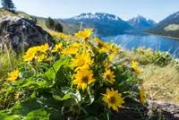
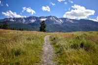
Hells Canyon Scenic Byway
Joseph, Baker, Wallowa, Union County, Oregon. All-American Road.
Details

- Where
- Joseph, Baker, Wallowa, Union County, OR. No street address stated. Directions
- Season
- June-October; Forest Road 39 is closed by snow from October 15 through May 15.
- Getting there
- Oregon State Route 82 to Joseph via La Grande; Oregon State Route 86 to Halfway via Baker City.
- Access
- The Hells Canyon Scenic Byway is usually closed by snow from late October through late May or early June and is not passable with motor vehicles.
- Website
- hellscanyonbyway.com
- Managed by
- Official partner of the Eastern Oregon Visitors Association.
- Established
- National Forest Scenic Byway, National Scenic Byway, All-American Road.
In downtown Joseph a bronze horse stands on the street. Nearby, Austin Barton’s “Attitude Adjustment,” a cowboy on a bucking bronco, is cast in the same metal. The town was incorporated in 1887 and named for Young Chief Joseph of the Nez Perce. It has a national reputation for its bronze foundries and for the galleries along Main Street. TripCheck counts four foundries in the area. A 2025 story map by Carla Axtman and Brett Fuller places one in Joseph and two in Enterprise, six miles down the valley. The byway’s own tally counts 21 art galleries along the whole route. Joseph is also home to the Chief Joseph Days Rodeo and the Fishtrap Writers Conference.
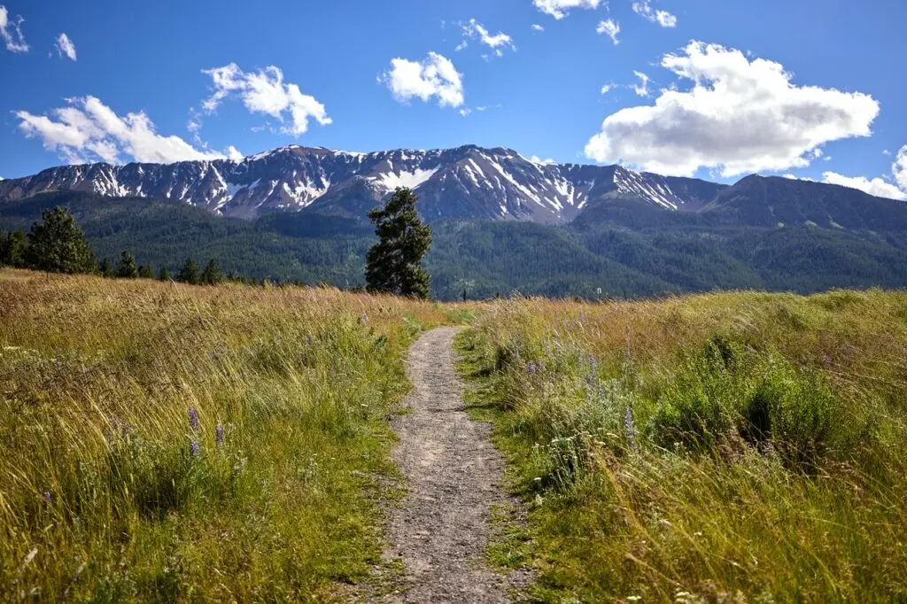
Joseph is where the Hells Canyon Scenic Byway leaves the valley floor. The route is a loop around the Wallowa Mountains and meets Interstate 84 at La Grande and at Baker City. Its length depends on who measured it. TripCheck gives 218 miles, and the Federal Highway Administration gives 218.43. The byway’s own site gives 213. The National Scenic Byway Foundation gives 213 in one place and calls it a 208-mile horseshoe in another. Side trips can stretch the drive to 400 miles. The road passes through 11 small towns and is paved the whole way. The Federal Highway Administration suggests six hours to drive it or three days to enjoy it, and TripCheck allows 8 to 10 hours, “optimally over several days.”
Forest Road 39 to the rim
From Joseph, Oregon 350 runs about 8 miles to the Wallowa Loop Road. Past that turn the loop road becomes Forest Road 39. It climbs into the Wallowas along streams through pine forest, past Forest Service campgrounds and picnic sites. It crosses the Wild and Scenic Imnaha River, spawning water for chinook salmon and steelhead. The byway’s site promises a chance to “share a canyon road with a cattle drive.” It also warns of rocks and sticks on the curves early in the season, of potholes, and of cattle guards, particularly on the road to the overlook. Between Joseph and Halfway there are stretches of more than eighty miles without gas.
This is the segment that snow closes, and the sources give different dates for the closure:
- The Forest Service says the byway is usually closed from late October through late May or early June.
- TripCheck gives October 15 through May 15.
- The byway’s own conditions page says late November through May, and asks drivers to wait until around Memorial Day Weekend.
The rest of the loop stays open year-round.
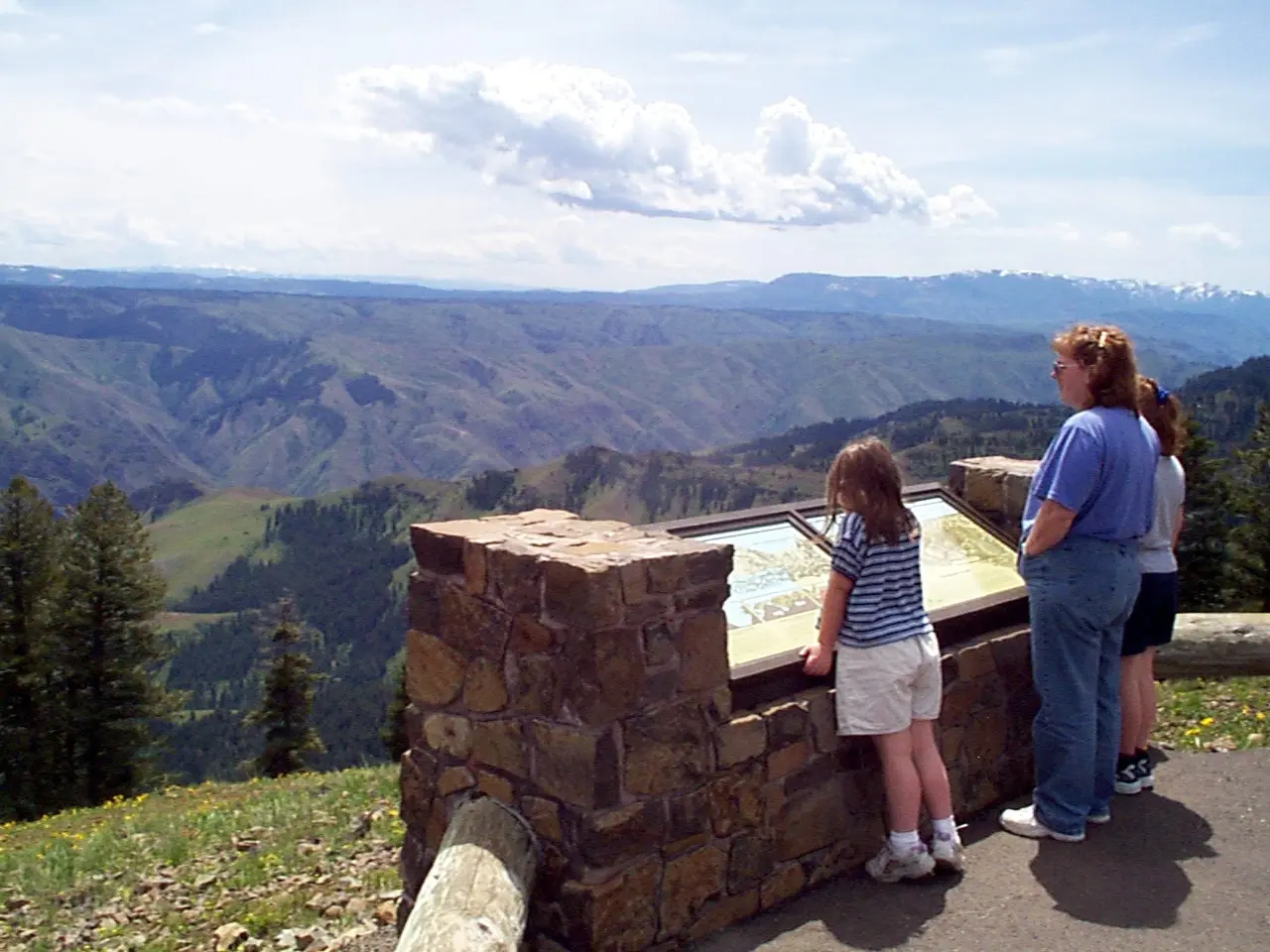
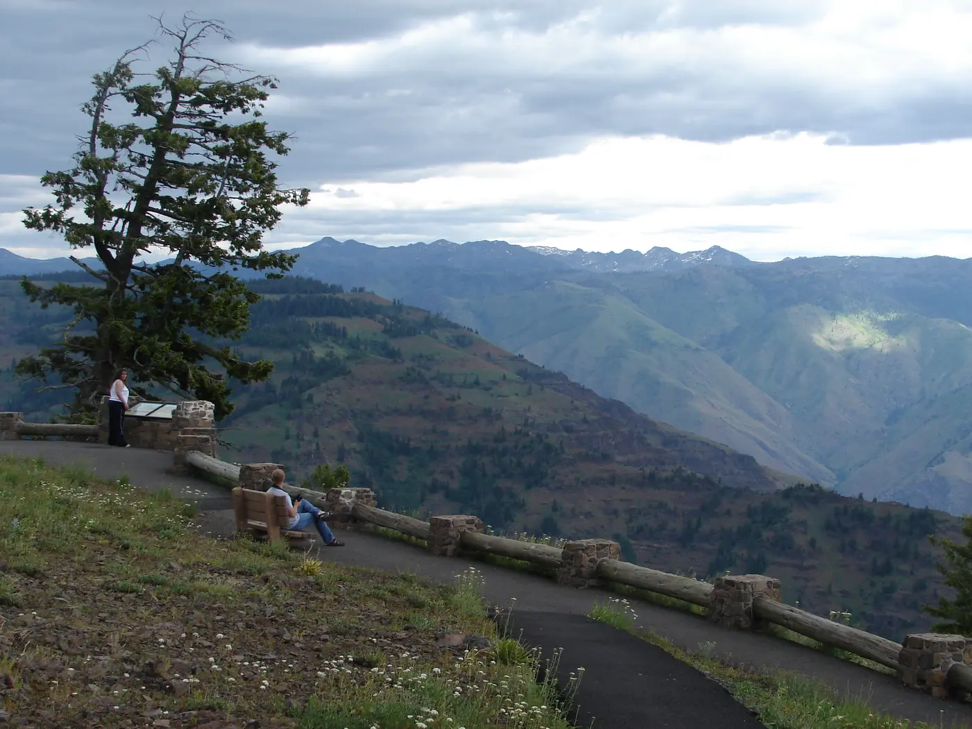
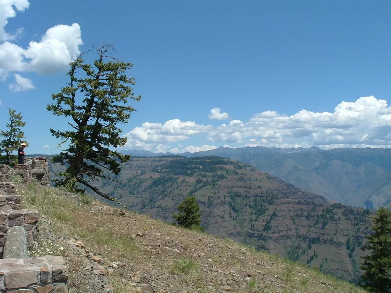
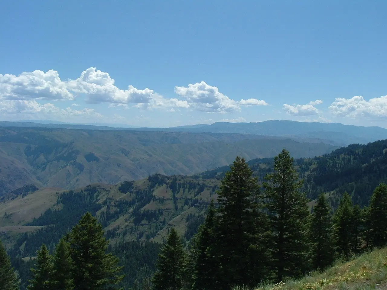
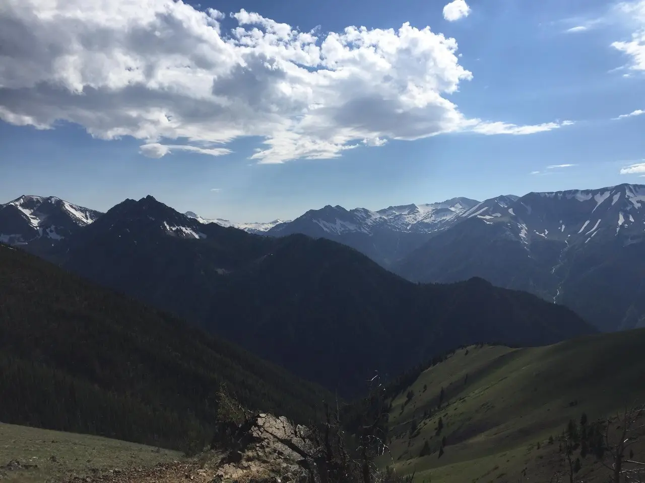
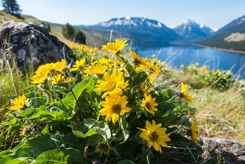
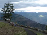
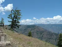
Thirty-four miles along the loop road, a spur leads 3 miles to the Hells Canyon Overlook. The Forest Service calls the spur Forest Road 490, and TripCheck calls it 3965. The overlook is paved and sits at 5,400 feet. It has vault toilets, picnic tables, interpretive displays on how the canyon formed, and spring and summer wildflowers along the paths. It has no drinking water. From the rim the view runs down McGraw Creek and across to the Seven Devils Mountains in Idaho. The river itself cannot be seen. “Spoiler alert,” the National Scenic Byway Foundation writes. “You can’t see the Snake River from this viewpoint.” The foundation sends those who want the water to Hat Point, a side trip from the small town of Imnaha. The ground there falls from 7,000 feet at Hat Point to 1,500 feet at the Snake, then rises to 9,393 feet in the Seven Devils, all within ten miles of horizontal distance.
Forest Road 39 ends at Oregon 86. A right turn leads to Halfway, Richland, and Baker City. Halfway is a base for llama excursions and other trips into the canyon. A left turn reaches the Snake in about six miles. From there a side trip down the Idaho side goes to Hells Canyon Dam, with jetboat rides below it.
Lake, valley, and grade
One mile south of Joseph lies Wallowa Lake. The 2,000-foot-thick Bennett Glacier scoured the West Fork of the Wallowa River for almost 20 miles to make it. The glacier left lateral and terminal moraines that geologists, as TripCheck reports, have called the most impressive in the world. The state park at the lake rents yurts, and a tramway climbs to the summit of Mount Howard. Near the north end of the lake is the grave of Chief Joseph’s father, Tiwiteqis, part of the Nez Perce Historic Trail National Park.
West of Joseph the byway follows Oregon 82 down the valley:
- Enterprise. The county seat has a Carnegie library and the Old OK Theatre. Historic barns stand in the ranch land around it.
- Lostine. The name is pronounced “Lah-steen.” The town has about 243 people.
- Wallowa. The town takes its name, as do the valley, river, lake, and mountains, from the Nez Perce word for the tripod that held fishing nets. The Wallowa Band of the Nez Perce gathers here each July for Tamkaliks, a Friendship Feast and Powwow.
- The Minam Grade. Below Wallowa the road enters a canyon, then climbs steeply where the Minam joins the Wallowa River.
- Elgin. The Elgin Stampede rodeo runs each July. The brick opera house, built in 1912, shows movies and stages concerts and plays. The Eagle Cap Excursion Train departs here for the canyons of the Grande Ronde and Wallowa rivers.
Below Elgin lies Imbler, “Grass Seed Capital of the World.” Past it, the Grande Ronde Valley grows hay, wheat, grass, mint, and canola. It was once a spring and summer gathering place for the Umatilla, Yakima, Shoshone, Walla Walla, Cayuse, and Bannock. At the south end, Baker City keeps its turn-of-the-century downtown and the Geiser Grand Hotel. North of town, at the Oregon Trail Interpretive Center on Flagstaff Hill, paved paths lead to wagon ruts the Bureau of Land Management describes as 150 years old. In the morning quiet of the valleys, the story map notes, a driver may hear a Western Meadowlark or a Red-winged Blackbird.
Coyote’s stick and a captured river
According to Nez Perce folklore as TripCheck tells it, Coyote dug Hells Canyon with a big stick to protect the ancestors in the Blue Mountains from the Seven Devils across the gorge. The version on Rivers.gov says he dug it in a day, and that the Seven Devils were a band of evil spirits living in the mountains to the east.
The scientific accounts have also changed over time:
- TripCheck says geologists believed the Snake cut the canyon by ordinary stream erosion through a rising range, beginning 6 million years ago. In this account the river is still cutting and the canyon is probably deeper now than ever.
- Rivers.gov says the Owyhee Mountains dammed the Snake into a vast lake until a million years ago. When the barrier was breached, the river cut northward through volcanic rock.
- A 2025 study published by the U.S. Geological Survey dated cave deposits in the canyon walls. It found that a drainage capture about 2.1 million years ago, plus or minus a million, sent the Snake into the Columbia system and set off rapid cutting.
The depth figures also vary. The Oregon Encyclopedia gives 7,993 feet. The story map says the canyon is 1,993 feet deeper than the Grand Canyon. The name came late: in the 1950s, “Hells Canyon” was borrowed from Hells Canyon Creek, which enters the river near the present dam.
People were here long before the name. The byway’s history dates Nez Perce ancestral settlements to at least 16,500 years ago. TripCheck puts signs of habitation in the canyon at over 11,000 years, with pictographs, petroglyphs, and winter pithouse villages along the river. A Clovis point found near the canyon’s southern end suggests people as early as 15,000 years ago, the story map says.
The first outside visitors had trouble getting through. Sgt. John Ordway of the Lewis and Clark Expedition came in June 1806. He reported a riverbank “in most places solid and perpendicular rocks, which rise to a great hight.” Capt. Benjamin Bonneville tried to navigate the canyon in 1834 and wrote that “the grandeur and originality of the views presented on every side beggar both the pencil and the pen.”
Settlement came from the south and west. The Oregon Trail crossed the Baker and Grande Ronde valleys from about 1845. Gold was found near Baker City in 1862, and white settlers reached the Wallowa Valley in 1872. In 1877 the Walwama band of Nez Perce, as the byway’s history names Chief Joseph’s people, was driven from its homeland. TripCheck says 250 men, women, and children went with Young Chief Joseph toward Canada. They came within 24 miles of safety before being captured in Montana. The story map puts the group at roughly 800. It says most were sent to Kansas and Oklahoma, and that they were later allowed back to the Northwest but not to Oregon.
Gold dust at Deep Creek
In the fall of 1886 a party of Chinese miners went up the Snake from Lewiston, Idaho, and camped on Deep Creek. They worked fine gold powder that may have netted them a few thousand dollars. On May 27, 1887, according to OPB, a gang of horse thieves shot them down. Bodies floating downriver were identified as employees of the Sam Yup Company of San Francisco. The company offered a reward and hired an investigator, and the Chinese consulate complained to the U.S. government.
Little came of the investigation until March of the following year, when Wallowa County rancher Frank Vaughan turned state’s evidence against six others. His statement, as printed in the New York Times in 1888, read: “We entered into an agreement nearly a year ago to murder these Chinese miners for their gold dust.” Three of the accused fled the county. The rest were found innocent at trial. Vaughan later served on the school board and the road commission. The Oregon Encyclopedia says the details “remain somewhat uncertain,” but that as many as thirty-four men were killed and mutilated.
R. Gregory Nokes researched the killings for his book “Massacred for Gold.” In 2012 he and others placed a granite monument at the site, engraved in English, Chinese, and Nez Perce: “Chinese Massacre Cove — Site of the 1887 massacre of as many as 34 Chinese gold miners — No one was held accountable.” “Of all the many things I’m proud of in my professional career, my involvement with that monument makes me the proudest,” Nokes said. An OPB crew reached the cove by sightseeing jet boat in 2016. They found the stone walls the miners built and the dug-out camp and cook site.
Three dams, a justice, and a road
In the 1940s the federal government proposed a Hells Canyon High Dam. The Idaho Power Company argued for private power and won. It built three low dams: Brownlee in 1958, Oxbow in 1961, and Hells Canyon in 1967. A fourth, the High Mountain Sheep Dam, reached the Supreme Court. In 1967 Justice William O. Douglas, who had owned a cabin near Lostine, wrote the majority opinion in Udall v. Federal Power Commission. He questioned whether there was a “need to destroy the river.”
The Hells Canyon Preservation Council formed that same year. Robert Packwood, elected to the Senate from Oregon in 1968, sponsored the protection bill. In 1975 President Gerald Ford signed the law creating the Hells Canyon National Recreation Area. The Oregon Encyclopedia gives its size as some 662,000 acres, and TripCheck and the story map give 652,488.
The byway was designated an All-American Road in June 2000, the top designation of the Federal Highway Administration’s National Scenic Byways Program. Janet Dodson, then Union County’s tourism director, helped write the application. Alice Trindle of the Eastern Oregon Visitors Association led the work of putting up interpretive panels and kiosks along the route. By October 2010 they stood at:
- a gateway monument near Baker City
- the Richland flower park
- the Imbler Historic Church
- Enterprise
- two sites in Elgin
Becci Scott of Elgin raised the town’s matching share from the city council and civic groups. “There are 27 All American Roads in the U.S., and we’re one of four in Oregon,” she said.
The panel in front of the Elgin Opera House shows the sheet music of Henry C. Work’s 1861 song “Lost on the Lady Elgin.” The song mourns the 302 people lost when that steamer sank on Lake Michigan on September 8, 1860. Most historians hold the ship to be the town’s namesake. The second Elgin panel, in Clarence Witty Park, reprints an old sales pitch for the town. It offered “land at a reasonable price, suitable for growing or raising anything in abundance.”
Notable Events
- 1845Immigrants bound for the Willamette Valley began following the Oregon Trail through the Baker and Grande Ronde valleys about 1845. hellscanyonbyway.com
- 1862Gold discovery near Baker City brought miners and supporting businesses that established Baker City and La Grande. hellscanyonbyway.com
- 1877Chief Joseph's Walwama band of Nez Perce was violently driven from its homeland as conflict over land and culture arose. hellscanyonbyway.com
- 1886Chinese people traveled from Lewiston up the Snake River and camped at Deep Creek, mining fine gold powder that may have netted a few thousand dollars. opb.org
- 1887Bodies found floating downriver were identified as Sam Yup Company employees; the company offered a reward and hired an investigator, and the Chinese consulate complained to the U.S. government. opb.org
- 1887A gang of horse thieves gunned down more than 30 Chinese gold miners on the Snake River in Hells Canyon. opb.org
- 1887Two Chinese mining crews near Deep Creek were murdered by white men from Wallowa County; as many as thirty-four men were killed and mutilated. oregonencyclopedia.org
- 1967The council was created to lobby for protection of the deepest gorge in North America as preservation gained importance over development. oregonencyclopedia.org
- 1967The Supreme Court overturned the lower court; Justice William O. Douglas wrote an opinion interpreting the law to permit no development, including no dam, as the best course. storymaps.arcgis.com
- 1975Congress passed and President Gerald Ford signed a law setting aside about 662,000 acres as a national recreation area, protecting wilderness and Snake River mileage. oregonencyclopedia.org
- 2000Dodson helped write the designation application and remained active in byway marketing and interpretation. lagrandeobserver.com
- 2000Hells Canyon Scenic Byway received the top designation available through the National Scenic Byways Program. lagrandeobserver.com
- 2012Nokes and others held a ceremony adding a monument engraved in English, Chinese and Nez Perce, commemorating as many as 34 victims and stating that no one was held accountable. opb.org
- Wallowa County rancher Frank Vaughan turned state's evidence against six others. opb.org
People
- Chief Joseph, Leader whose Walwama band of Nez Perce made the Wallowa Valley and surrounding mountains its home.
- Alice Trindle, Eastern Oregon Visitors Association executive director and Hells Canyon Scenic Byway coordinator; led planning and fundraising for the interpretation project.
- Becci Scott, Elgin participant in the byway interpretation project who collected the required matching donations (About four years before the report).
- Henry C. Work, Wrote the memorial song Lost on the Lady Elgin, shown on the Elgin interpretive panel (1861).
- Janet Dodson, Then-Union County Tourism director who helped plan and seek funding for the interpretive panels and write the designation application (2000).
- Joe Garlitz, Then-Elgin city administrator/recorder who supported Becci Scott's involvement in the interpretation project.
- Terrie Richards, Joe Garlitz's successor, who later supported Scott's interpretation-project work.
- Frank Vaughan, Wallowa County rancher who turned state's evidence against six others in the miners' murder investigations.
- R. Gregory Nokes, Researched the massacre for Massacred for Gold and helped commemorate its victims with the monument (2012).
- Gerald Ford, President who signed the 1975 law creating Hells Canyon National Recreation Area.
- Robert Packwood, Oregon senator and sponsor of legislation to make Hells Canyon a national recreation area.
- William O. Douglas, Supreme Court justice who wrote the opinion overturning the lower court in the Hells Canyon dam dispute (1967).
- Bob Packwood, U.S. Senator featured in the canyon-preservation history.
Sources
- hellscanyonbyway.com/about
- fs.usda.gov/r06/wallowa-whitman/recreation/hells-canyon-overlook
- tripcheck.com/Pages/Scenic-Byways-Hells-Canyon
- hellscanyonbyway.com
- hellscanyonbyway.com/conditions
- lagrandeobserver.com/2010/10/26/hells-canyon-scenic-byway-panels-installed
- storymaps.arcgis.com/stories/4033b7910a9c4194a36e75cef203e13c
- opb.org/article/2023/05/27/oregon-experience-massacre-of-chinese-miners-at-hells-canyon-1887
- fhwaapps.fhwa.dot.gov/bywaysp/byway/2145
- usgs.gov/publications/cave-records-reveal-recent-origin-north-americas-deepest-canyon
- nsbfoundation.com/nb/hells-canyon-scenic-byway
- oregonencyclopedia.org/articles/hells-canyon
- fws.gov/rivers/river/snake