Cow Creek Tour Route
Riddle, Douglas County, Oregon. Scenic canyon drive through western Oregon's historic mining country; Best time to drive: Spring and fall.
Details

- Where
- 777 NW Garden Valley Blvd., Roseburg, Riddle, OR 97471. Directions
- Getting there
- Your tour begins at I-5's exit 103, south of Roseburg at Riddle, the only place to fuel up along the route.
- Fees
- No fees known.
- Access
- Driving time 1-2 hours; active railroad and logging trucks on blind corners; do not trespass on private mining claims along the creek.
- Phone
- 541-440-4930
- Website
- traveloregon.com
- Managed by
- Bureau of Land Management.
- Coordinates
- 42.92174000000000, -123.44667000000000.
Riddle and the nickel tailings
The route leaves Interstate 5 at Exit 103, 21 miles south of Roseburg, and follows Riddle Bypass Road toward Riddle. Fuel up there. Travel Oregon calls Riddle the only place to fuel along the route, and the state’s TripCheck guide says there are no services until the far end. TripCheck describes Riddle as an old railroad town named after an 1851 pioneer. According to Travel Oregon, the arrival of the railroad spurred the area’s mining. The road runs past lumber mills, ranches and farms, and past the mine sites and tailings of Glenbrook Nickel. It was the last nickel smelter operating in the continental United States, and it closed in 1998.
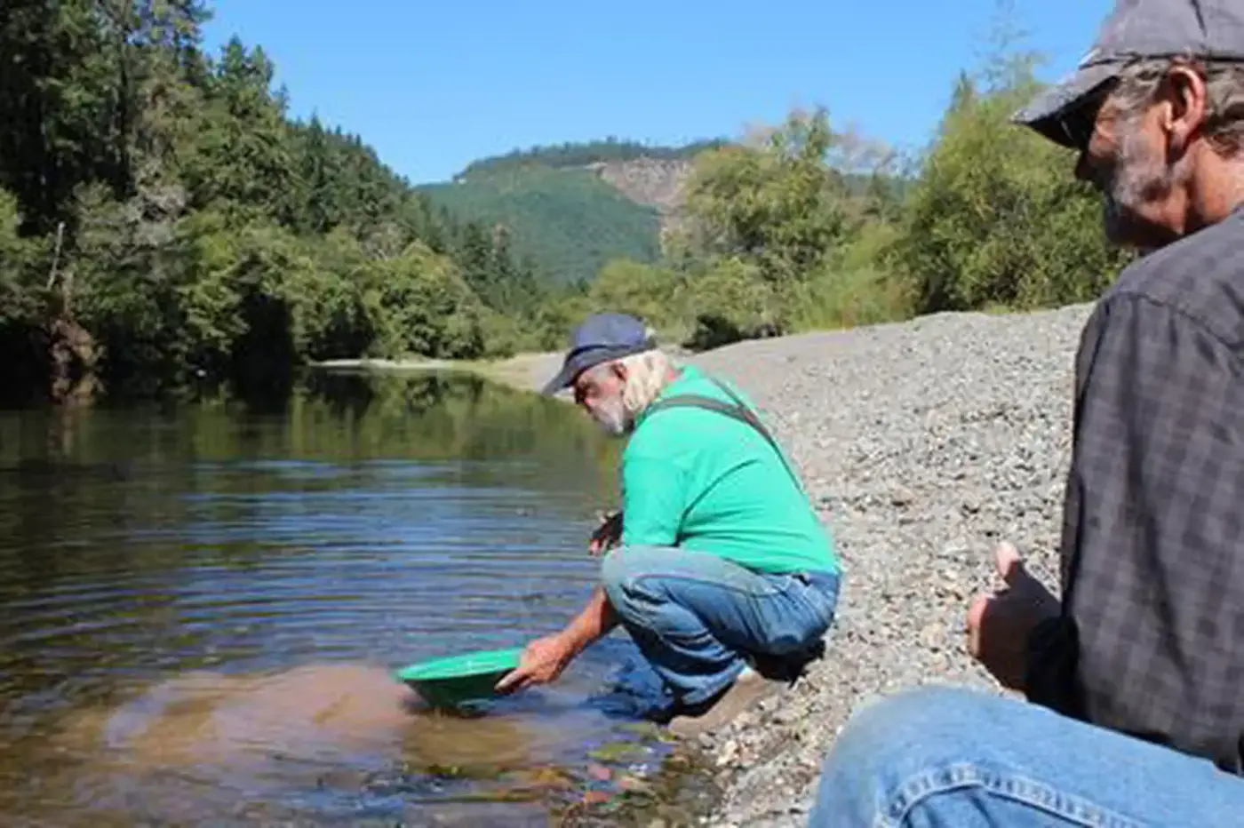
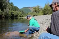
Some hardware stores in Riddle carry gold pans. Travel Oregon describes the pan as a shallow, flat-bottomed metal pan about 3 inches deep with flaring sides. A traveler who means to try the creek buys one here.
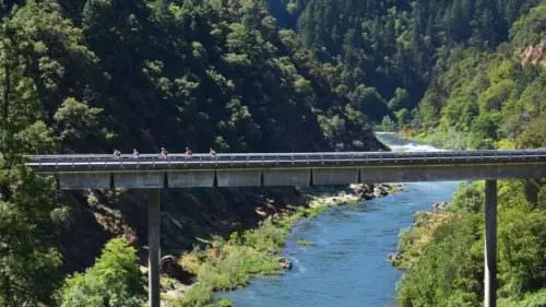
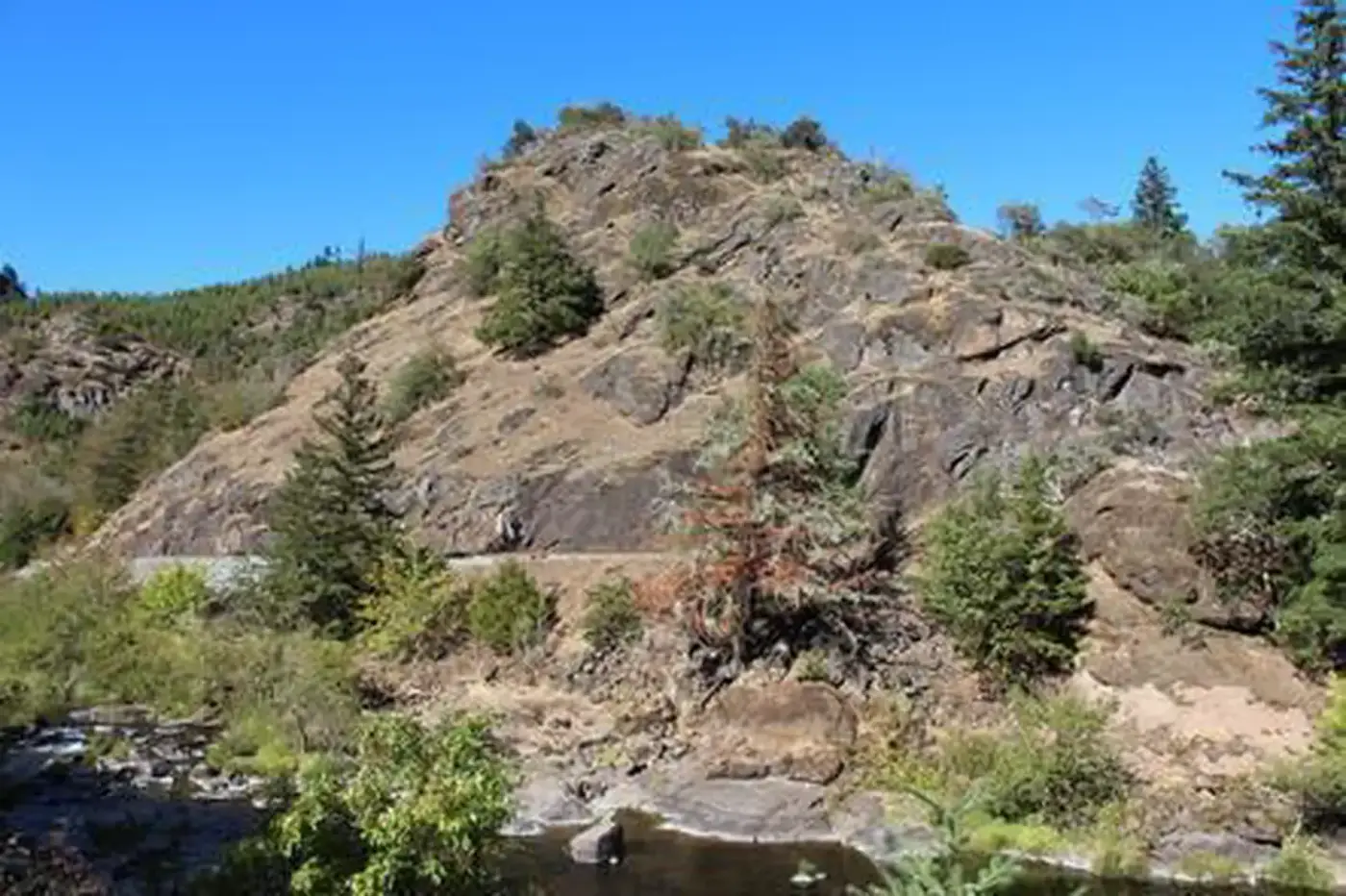
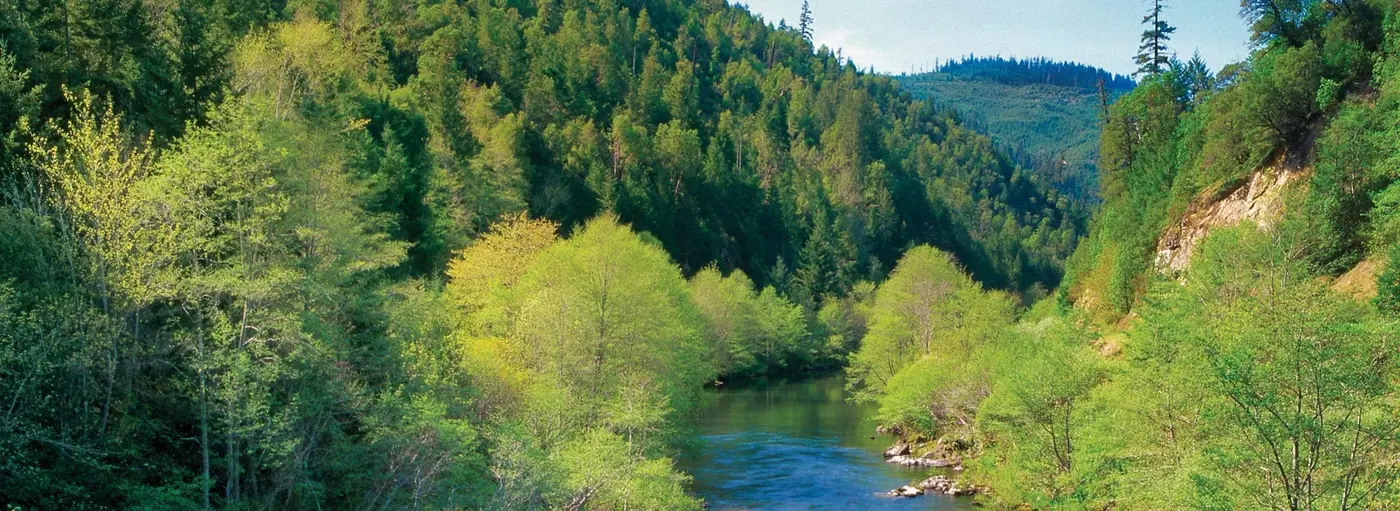
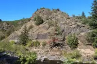
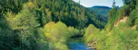
From Riddle the road becomes Cow Creek Road and runs 45 miles, beside the creek most of the way, to Glendale. It is a rustic two-lane road, paved and open year round. The Bureau of Land Management’s Roseburg District manages the byway, and the agency offers it as an alternative to the interstate. Driving time is given as one to two hours at minimum. The road follows lower Cow Creek through the coastal mountains of southwestern Oregon. Farms and ranches give way to deep forest in Cow Creek Canyon, among large rock outcroppings and ragged buttes.
Tunnel Number One and the gold gravels
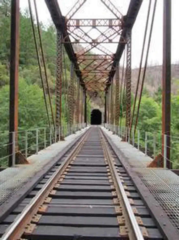
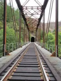
A railroad runs beside the road, and it is still in service. The Bureau of Land Management dates the original Oregon and California Railroad Company grade to 1869. The Federal Highway Administration’s byway listing and Travel Oregon both say the railroad was built during the 1870s. Trains and logging trucks share the canyon, and the agencies warn drivers to watch the blind corners.
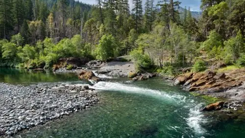
Tunnel Number One, cut into the canyon wall in 1883, can still be seen from the road. It is no longer in use. A short way past it is the public Recreational Gold Panning Area. TripCheck says miners panned here nearly 150 years ago. Travel Oregon explains that gold starts in veins in the mountains and washes into the creeks with the spring rains. It adds that geologists estimate the gold-rush miners found only about 25 percent of Oregon’s gold.
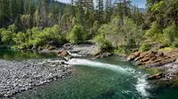
TripCheck gives directions for the pan. Gold is heavier than most stream gravel, so it settles with the other heavy minerals the guide calls “black sands”: pyrite, magnetite, ilmenite, chromite and garnet. The guide recommends places where the current slows. These include the inside of a stream’s curve, ground where the stream has overflowed, and the downstream side of a boulder. Private mining claims are marked along the creek, and the Bureau of Land Management asks visitors to stay off them.
The Island Creek Day Use Area, also on the creek, has room for a picnic, a walk and more panning. In summer, people swim and fish in Cow Creek. In spring there are waterfalls and wildflowers among old-growth Douglas-fir. In autumn the hardwoods turn red and yellow, and salmon and steelhead spawn in the creek’s gravel bed.
West Fork, the 1905 bridges, and Glendale
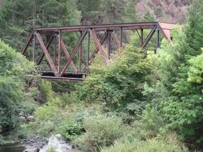
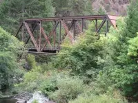
Interpretive signs mark the site of West Fork, a town now long forgotten. The signs tell the story of the settlement, the railroad and the gold mining. Past the West Fork of Cow Creek, the road crosses the creek on two steel girder bridges built in 1905, and both still carry traffic.
Skull Creek Campground comes next. It is free, first-come, first-served, and has up to five sites. The Bureau of Land Management sets a 14-day stay limit. Beyond the campground the road climbs, and pastures and orchards replace the forest. In Glendale, volunteers are restoring the 1901 Springer Martin House. The route ends a couple of miles past town and rejoins I-5 at Exit 80, 18 miles north of Grants Pass.
Fire seasons on Lower Cow Creek
Fire has burned parts of the canyon twice in recent years. In 2013 the Douglas Complex Fire burned portions of the forest around the byway. On August 29, 2017, the Bureau of Land Management’s Roseburg District closed the byway because of the Horse Prairie Fire. The closure ran from the end of county road maintenance, at the 200 block of Lower Cow Creek, to the Union Creek junction at the 13,000 block. It took in the Island Creek Day Use Area and the federal land around the fire, roughly bounded by Olalla Creek, Union Creek, Cow Creek, Beatty Creek and upper Doe Creek. The order barred all entry, on foot or by any vehicle. Only firefighters, landowners and permit holders could go in. The agency projected the closure would last until the fire was declared controlled, which it expected on Tuesday, October 31, 2017.
Notable Events
- 1869The railroad still active along the byway follows the original Oregon and California Railroad Company grade built in 1869. blm.gov
- 1883Tunnel No. 1 of the railroad, built in 1883, is still visible but no longer in use. fhwaapps.fhwa.dot.gov
- 1905Two steel girder bridges built in 1905 are still in use today. fhwaapps.fhwa.dot.gov
- 1998Mines and tailings visible from the byway remain from the last operating nickel smelter in the continental United States, Glenbrook Nickel, which closed in 1998. fhwaapps.fhwa.dot.gov
- 2013Portions of the surrounding forest land were burned in the Douglas Complex Fire in 2013. blm.gov
- 2017The Horse Prairie Fire emergency closure affected public lands within its road and area closure perimeter, including the Cow Creek Backcountry Scenic Byway; the order was specific to BLM lands and routes. blm.gov