

Elkhorn Drive Scenic Byway
Baker City, Baker County, Oregon. Scenic drive; Summer and fall.
Details

- Where
- Baker City, Baker County, OR. No street address stated. Directions
- Getting there
- The byway follows OR-7 through ranchlands, turning west along the Powder River.
- Access
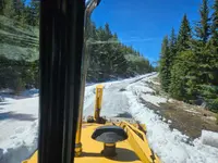
- Most years, several miles of the byway, from the ski area to the Crawfish Lake trailhead area, are blocked by snowdrifts until mid to late June.
- Website
- traveloregon.com
- Managed by
- Wallowa-Whitman National Forest.
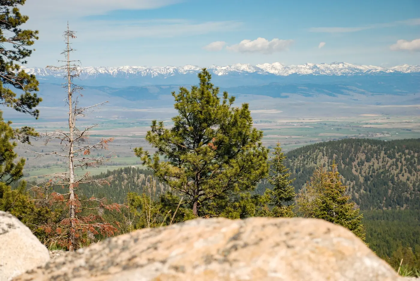
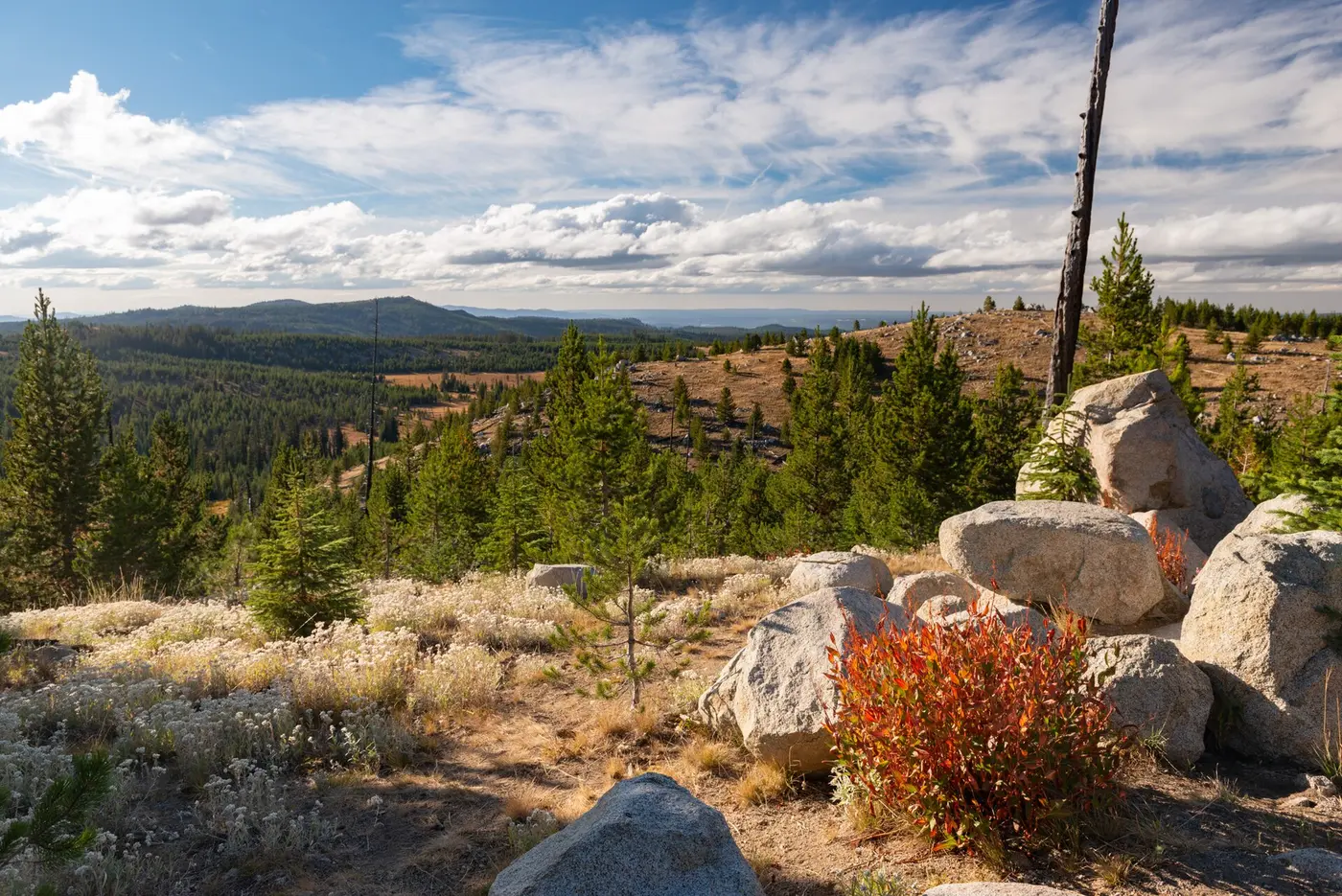
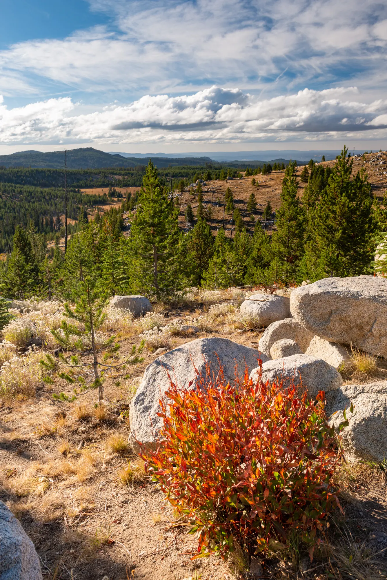
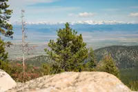
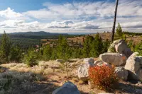
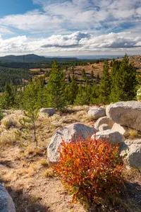
Two miles west of Anthony Lakes Mountain Resort, the Elkhorn Drive Scenic Byway reaches a gravel turnout at Elkhorn Summit. The Baker City Herald in 2026, Travel Oregon, and the state’s TripCheck guide give the elevation as 7,392 feet. A 2001 Herald article put the turnout at 7,395. Among Oregon’s paved roads, only sections of the Rim Drive in Crater Lake National Park run higher. In 2001 the Herald’s Jayson Jacoby wrote that from this spot it may be possible, “on the clearest of days and with well-rested eyes,” to see the white smudge of Mount Hood on the horizon, some 175 miles away. Nearer at hand, jagged peaks stand behind the Anthony Lakes Recreation Area. The range also holds 9,106-foot Rock Creek Butte, which the Herald called the highest point in the north half of Oregon between the Wallowas and the Cascades.
The summit is the high point of a two-lane paved loop that begins and ends in Baker City and takes three to five hours to drive. For about half its length the road runs above 5,000 feet, which the Herald noted is higher than most of the major passes across the Cascades. Along the way it passes seven Forest Service campgrounds and more than a dozen trails for hikers, riders, and mountain bikers. The Wallowa-Whitman National Forest manages the country it crosses. The state guides describe the loop clockwise, south from Baker City on Oregon Route 7. The 2001 Herald recommended going the other way, out through Haines, because the counterclockwise route “affords passengers the grandest scenery without requiring lots of dizzying head-swiveling.”
A single lane through the drifts
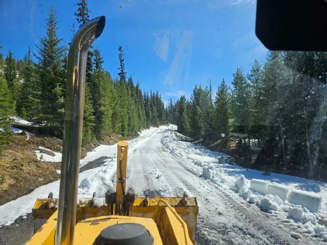
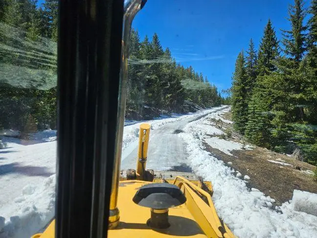
The high stretch closes every winter. In 2001 the Herald gave the closed season as roughly Halloween to mid-June. In 2026 the paper reported that most years several miles, from the ski area to the Crawfish Lake trailhead area, stay blocked by snowdrifts until mid- to late June. TripCheck says the road between Granite and Anthony Lake is often closed until July. The road cuts through granitic stone there, and the deep cuts collect wind-driven drifts that persist in the shade.
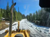
On Thursday, May 21, 2026, Ian Warner, longtime mountain manager for Anthony Lakes Mountain Resort, plowed through the lingering drifts. He cleared one of the two lanes. Chelsea Judy, the resort’s marketing director, told the Herald that for the moment only four-wheel-drive vehicles should try the route. That year the road opened about a month earlier than usual, after a scanty snowpack and spells of unseasonably warm weather that began in March. The resort is run by the nonprofit Anthony Lakes Outdoor Recreation Association, which also manages the three Forest Service campgrounds in the Anthony Lakes area. In winter the snowplows stop near the resort.
By the fall of 2026, the Forest Service had closed land in the Whitman Ranger District for fires. The Anthony Fire perimeter was closed to public entry from August 31 through December 31, 2026. A McCully Fire closure took effect October 3 and runs to the same date. Inside the McCully perimeter it shut the Baldy Creek and Downie Lake trails, while the Elkhorn Crest Trail stayed open.
Queen City of the Mines and the Powder River
The mountains west of Baker City were long the hunting grounds of the Plateau Indian tribes, according to Travel Oregon. Miners came later. TripCheck says many emigrants on the Oregon Trail stopped short of the Willamette Valley to dig gold near Baker City. In the late 1800s the town was called the Queen City of the Mines, and it grew wealthy supplying miners in the nearby mountains with transportation, food, and goods. When the Elkhorn mines stopped producing, agriculture and the railroad kept Baker City going after other boom towns failed. Downtown, the 1889 Geiser Grand Hotel has mahogany columns and a stained-glass ceiling. A five-pound gold nugget is on display at the U.S. Bank on Main Street. The Baker Heritage Museum, housed in a 1920 natatorium, keeps a mineral collection along with exhibits on ranching and mining.
From town the byway follows Route 7 south through ranchland and then turns west along the Powder River. In good water years the river holds stocked and native rainbow trout, and a half-mile paved trail leads to the bank. The road runs through the basalt walls of Blue Canyon and into the national forest, where grassland and juniper hills give way to ponderosa pine. Mason Dam holds back the river to form 2,235-acre Phillips Lake. The North Shore Trail runs more than six miles along its shore. Osprey, bald eagles, deer, and elk can be seen from the Mowich wildlife viewing area. Past the lake, the Tailings Overlook looks out on ground turned over by mining.
A ship on dry land at Sumpter
At McEwen, the restored narrow-gauge Sumpter Valley Railroad train called the Stump Dodger follows track that miners and loggers used more than a century ago. TripCheck says it runs four times daily on summer weekends and holidays. The round trip to Sumpter takes about two hours.
Sumpter’s heyday came around 1900. TripCheck says miners took more than $10 million in gold ore from the district. The town had three newspapers and an opera house, along with 16 saloons by Travel Oregon’s count and 15 by TripCheck’s. Fire destroyed the business district in 1917. TripCheck gives Sumpter’s population as 130. The Herald in 2001 counted about 175 and called it “the liveliest of Oregon’s ghost towns.”
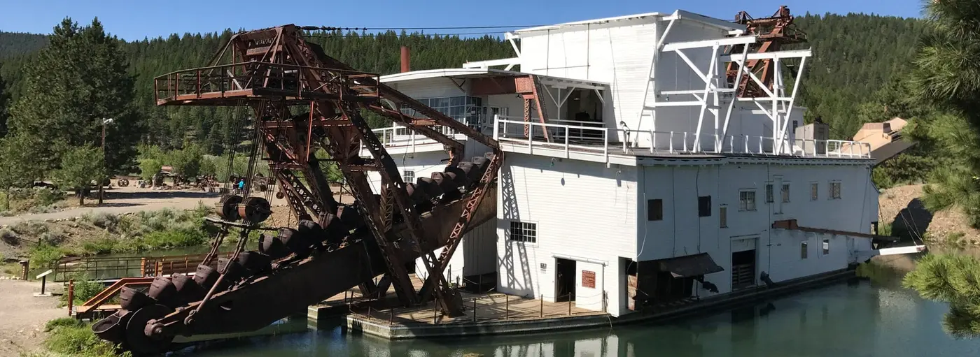
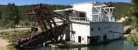
At the edge of town stands the Sumpter Valley Dredge. Oregon State Parks calls it “essentially a ship on dry land.” Gold had been found in the Blue Mountains and the Sumpter Valley in 1862, and prospectors arrived in droves, many of them veterans of the 1848 California rush. By the early 1900s the easy gold was gone, but fine flakes remained deep in the old riverbed. Three dredges were built in the valley, in 1912, 1915, and 1935. Each one used a row of buckets at the front to dig through the ground and feed soil and rock into the hull, where sorting machinery strained out the gold. The leftover tailings were dumped out the back. Each dredge floated in a pond of its own making, and river water followed the buckets into each new channel they cut.
The two early dredges were taken apart in the mid-1920s. The 1935 machine weighs 2.4 million pounds. It ran almost without stopping, seven days a week and 24 hours a day, and is estimated to have dug up more than $4 million in gold. In August 1954, pressure from local citizens and soaring operating costs forced the company to shut it down for good. For the next 41 years weather and neglect worked on its wood and steel. It was added to the National Register of Historic Places in 1971. The Oregon Parks and Recreation Department bought the dredge and its tailings in 1992 and 1993, opened it to the public in 1994, and began restoring it the following year. Visitors may go aboard from May through October, and rangers lead tours on weekends. About a mile and a half of trail winds through the wetlands that have grown up in the dredge ponds. TripCheck reports the rumor that the dredge is haunted by a ghost.
Granite, the Chinese diggings, and the lakes
Beyond Sumpter the road climbs to Blue Springs Summit, 5,864 feet by the state guides and 5,867 by the 2001 Herald. In winter the summit is a snowmobile staging area with more than 150 miles of trail. From here the mountains show their layers: sedimentary rock topped with granite and capped with volcanic basalt.
Gold was found in Bull Run Creek in 1862, and the town of Granite sprang up. TripCheck says the town produced gold for 80 years, along with characters named Skedaddle Smith, One-eyed Dick, and ‘49 Jimmie, whose only companion was a rooster with whom he shared all his meals. Their stories are told about the abandoned buildings that still stand. In 2001 the Herald listed a store, café, and gas station in Granite, plus a lodge. TripCheck advises filling the tank there, because there are no services between Granite and Baker City.
A mile and a half north of Granite on Forest Road 73 is the Ah Hee Diggings Interpretive Site. Chinese miners could not file their own claims, the Forest Service explains, but claim holders could sell or lease worked-out ground to Chinese-owned companies. In the late 1800s those miners stacked rock by hand across 16 acres of the valley to expose the streambed. They then used gold pans, rockers, and sluice boxes to recover gold that earlier operations had missed. TripCheck calls the boulder rows along Granite Creek “walls.” The site has room for three or four vehicles and no water or restrooms, and it is open from June through September.
At the North Fork John Day Campground the byway meets the Blue Mountain Scenic Byway. It follows the Wild and Scenic North Fork John Day River for a stretch, then climbs about 2,500 feet to Elkhorn Summit. Beyond the summit, Grande Ronde Lake and Anthony Lake lie within a few miles of each other and offer camping and fishing. The downhill ski area at Anthony Lakes has run since 1933. Just before Anthony Lakes Campground, the 23-mile Elkhorn Crest National Recreation Trail leaves to the south along the ridgeline.
From the lakes the road drops through a narrow canyon, losing about 3,500 feet in ten miles by the Herald’s figure, and comes out onto the Baker Valley. No foothills stand between the valley floor and the peaks, and the Wallowa Mountains show in the distance. TripCheck calls Haines, population 370, the “biggest little town in Oregon.” Its Eastern Oregon Museum keeps pioneer antiques and bootleggers’ stills. From Haines, U.S. Route 30 runs the last ten miles south to Baker City.
Notable Events
- 1800sChinese miners' efforts left hand-stacked rock tailings visible from the Elkhorn Drive Scenic Byway. fs.usda.gov
- 1862Gold was discovered in Oregon's Blue Mountains and nearby Sumpter Valley in 1862; prospectors, many veterans of the 1848 California Gold Rush, arrived in droves. stateparks.oregon.gov
- 1862Gold discovery in Bull Run Creek led to the town of Granite. tripcheck.com
- 1917Sumpter's business district was destroyed by fire. tripcheck.com
- 1933The Anthony Lake downhill ski resort has served powder skiing since 1933. tripcheck.com
- 1935The last of three dredges built in Sumpter Valley ran almost continuously, seven days and 24 hours a day, from 1935 until 1954. stateparks.oregon.gov
- 1954Mounting pressure from local citizens and skyrocketing operating costs forced the dredge company to permanently stop the machine in August 1954. stateparks.oregon.gov
- 1954Gold was extracted from the area until 1954. tripcheck.com
People
- '49 Jimmie, Legendary Granite character whose only companion was said in the guide to be a rooster with whom he shared all his meals.
- One-eyed Dick, One of Granite's legendary characters.
- Skedaddle Smith, One of Granite's legendary characters.