
.jpg)
.jpg)
.jpg)
.jpg)
.jpg)
Snake River-Mormon Basin Back Country Byway
Baker City, Baker and Malheur counties County, Oregon. Back country byway.
Details

- Where
- Baker City, Baker and Malheur counties County, OR. No street address stated. Directions
- Getting there
- From Baker City, Oregon: Use this online map to navigate the byway.
- Fees
- No fees.
- Access
- The byway includes a variety of remote paved, gravel and earthen surface roads; care should be taken in planning travels after weather events or during the winter season.
- Phone
- 541-523-1256
- Website
- blm.gov
- Managed by
- Bureau of Land Management.
- Coordinates
- 44.81098300000000, -117.74358700000001.
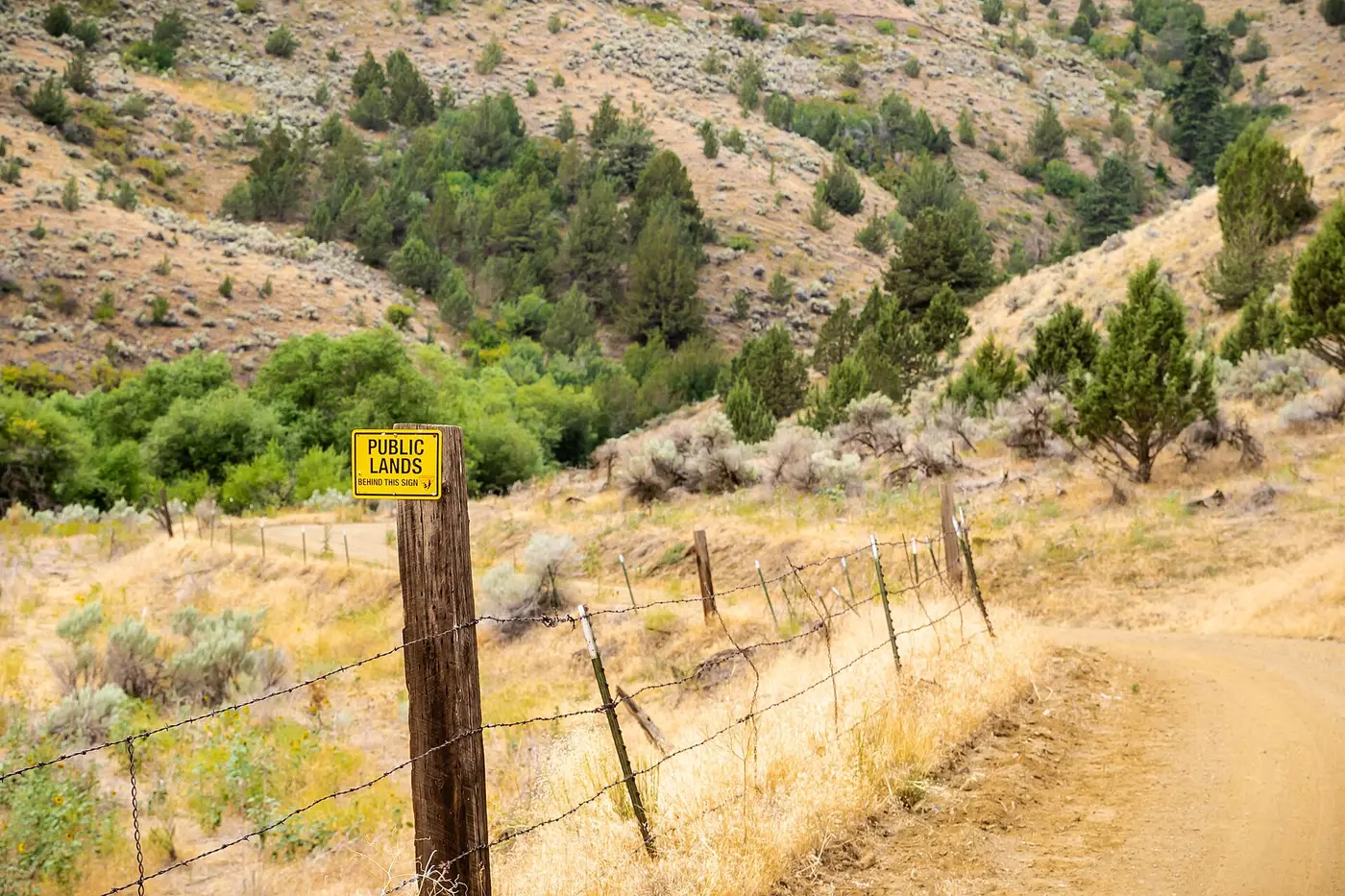
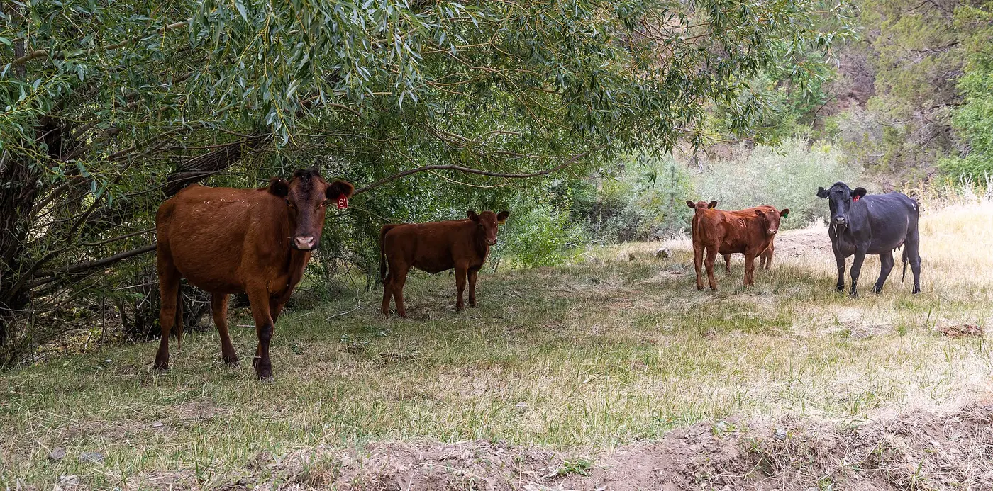
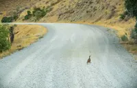
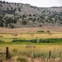
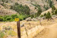
A 150-mile byway through the rangelands of eastern Oregon's Baker and Malheur counties, with options for high-clearance two-wheel drive vehicles. Steep canyons, prominent cliffs, and rock outcrops line the route.
Notable Events
- 1800sHistoric wagon roads crossed the area, where ranching, mining, logging, and homesteading occurred in the late nineteenth century. blm.gov
- 1863Mr. Ingraham and two partners did the camp's first sluicing in spring 1863 and took out $65 per day per person. oregongenealogy.com
- 1867Miners rushed into Mormon Basin after gold was discovered in 1867. oregonencyclopedia.org
- 1870sAmelia City was among the first mining settlements established as miners moved south of Mormon Basin in the 1870s. oregonencyclopedia.org
- 1900Amelia City disappeared from maps after 1900 and was presumably deserted. oregonencyclopedia.org
People
- Charles Stubley, Dug the first ditch from Glengary Gulch to Sunburnt Flat.
- Mr. Getchell, Mormon Basin miner who made as much as $200 per day with a rocker.
- Mr. Ingraham, Early Mormon Basin claimant and sluicer (1863).