

Enchanted Circle Scenic Byway
Taos, Taos County, New Mexico. National Forest Scenic Byway.
Details

- Where
- Taos, Taos County, NM. No street address stated. Directions
- Getting there
- From Taos Plaza, Hwy. 64 north to Hwy. 522 north to Questa; Hwy. 38 east to Red River, then south to Eagle Nest and Angel Fire; Hwy. 64 west to Taos.
- Fees
- There are no fees to drive the byway; however, attractions (such as skiing) may have fees.
- Phone
- 505-586-0520
- Managed by
- NMDOT.
- Established
- designated as a National Forest Scenic Byway by the U.S. Forest Service on December 14, 1989.
The loop leaves Taos Plaza heading north and for 84 miles keeps one mountain at its center. Wheeler Peak, 13,161 feet in the Sangre de Cristo range and the highest point in New Mexico, stands inside the circle. Four highways bend around it: NM 522, NM 38, NM 434, and US 64. They pass through Questa, Red River, Eagle Nest, and Angel Fire before returning to Taos. Enchanted Circle markers point the way at the turns, and there is no fee to drive it. The Federal Highway Administration tells drivers to allow four hours, and the Taos visitor bureau puts the driving time at two and a half to three. The Taos and Red River visitor pages date the quartz and feldspar along the route to two billion years, some of the oldest rock in the Southwest.
North on 522 to Questa
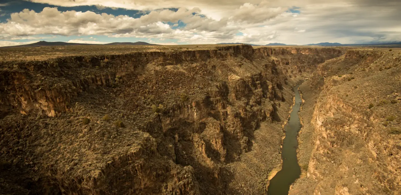
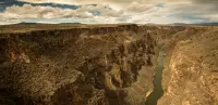
The byway begins in Taos within sight of the multi-story skyline of Taos Pueblo, which the state tourism department calls the oldest continuously occupied residence in New Mexico. Nine miles north on NM 522 is Arroyo Hondo. It grew out of an 1815 Spanish land grant and was later home to the New Buffalo commune. Near the village the John Dunn Bridge crosses the Rio Grande at what was once Warmsley Crossing, where an old Navajo trail crossed the river and turned west. Mike Butler’s 2026 pictorial history, Taos and the Enchanted Circle Byway, as reviewed in the Taos News, calls the John Dunn crossing a “white knuckle drive.” It remained one until 1965, when the Rio Grande Gorge Bridge was built. That bridge carries US 64 660 feet above the river, a side trip twelve miles northwest of Taos.
In the Hondo Valley a sign points to the D.H. Lawrence Memorial. The English author spent much of the years 1922 to 1925 writing on a ranch here. After his death his ashes were brought back and placed in a chapel built by his widow, Frieda. The Taos visitor bureau warns that the site is often closed while its management through the University of New Mexico is restructured.
Farther on, a scar on the mountains marks a 1996 fire that destroyed almost 8,000 acres of national forest. The Red River visitor bureau calls it the Hondo Fire. The Taos bureau calls it the San Cristobal/Lama fire and places the scar to the east of a northbound driver. Both say reforestation continues.
Questa takes its name from cuesta, slope or ridge. Trails lead from it to Cabresto Lake, Mallette Canyon, and Midnight Meadows. At Artesanos de Questa, a cooperative, local woodworkers, tinsmiths, painters, stained glass workers, and sculptors show their work. St. Anthony’s Church on the town square holds historic santos and retablos. Its west wall collapsed in 2008, and residents worked for years to rebuild it, finishing in 2016. The Molycorp molybdenum mine ran here from 1916 to 2014 and is now a Superfund cleanup. Northeast of town the Rio Grande and the Red River meet in the Wild Rivers Recreation Area, where the Bureau of Land Management keeps a visitor center.
Up the Red River to Bobcat Pass
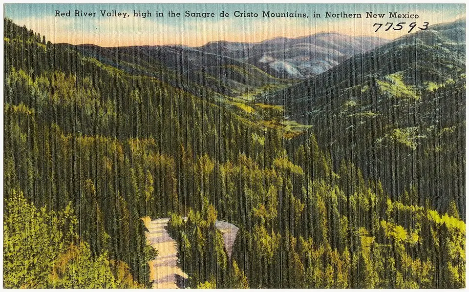
From Questa, NM 38 turns east up the Red River Valley, once mined for copper, lead, silver, and gold. The Red River Fish Hatchery offers free self-guided tours of a show pond and several trout raceways. The visitor bureaus say the show pool of large rainbow trout is a favorite with children. Each year volunteers carry containers of trout fry down to the Rio Grande; the Taos account says they are brown trout.
Miners from Elizabethtown settled the town of Red River in the late 1800s. The mines petered out, the boom ended in the 1920s, and the town turned to tourists and skiers. John Mutz, grandson of the German immigrant Herman Mutz, helped build the Red River ski area in 1958, and its lifts now run in summer as well. The town has saloons, a melodrama theater, and ATV rentals.
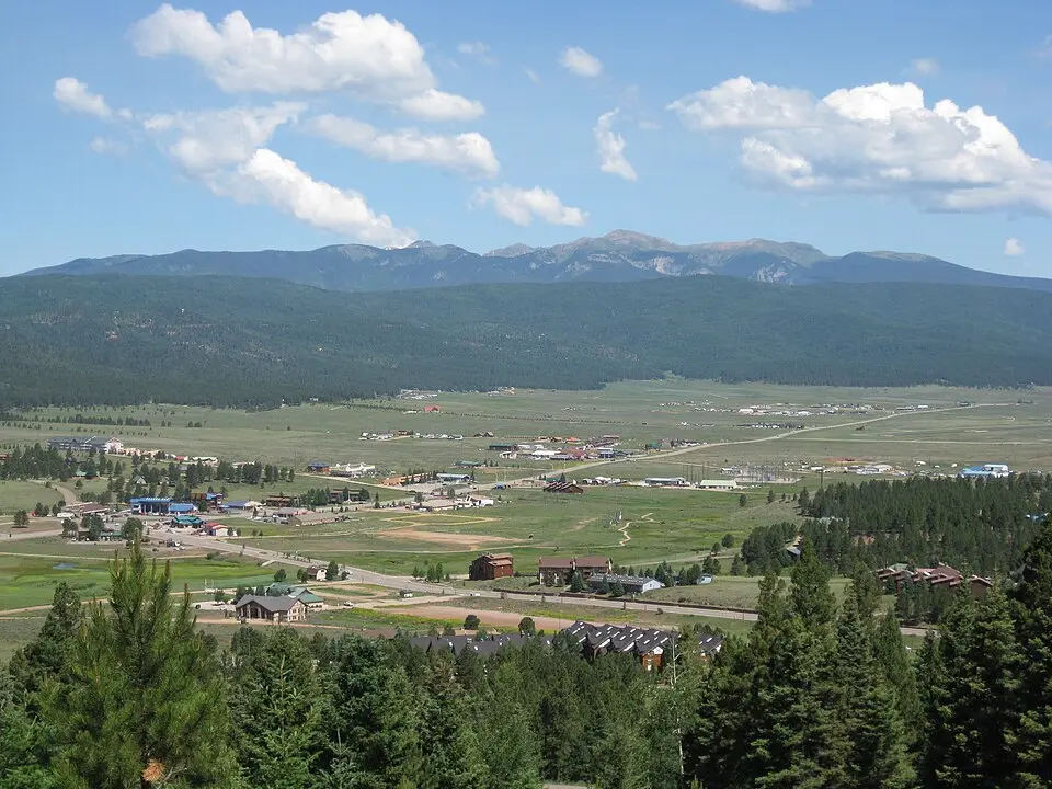
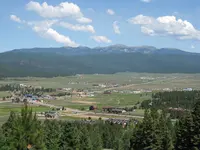
East of town the road climbs to Bobcat Pass at 9,820 feet and descends into the Moreno Valley, with a view of the north side of Wheeler Peak. Between the pass and Eagle Nest Lake the visitor bureaus advise watching for elk and other wildlife.
Elizabethtown, Eagle Nest, and the Moreno Valley
Elizabethtown, now a ghost town, lies off the road five miles north of Eagle Nest. Accounts of its start differ. The Taos and Red River visitor pages say it was established in 1870 after gold was found and was the first incorporated town in New Mexico, with at least seven saloons and three dance halls. Butler’s book, as the Taos News reviews it, has the town booming after copper was discovered on nearby Baldy Mountain in 1866. It says Captain John William Moore named the town for his daughter, Elizabeth Catherine. Herman Mutz’s stone hotel there stands in ruins.
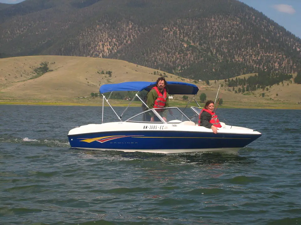
Eagle Nest Lake formed behind a dam built in 1918 to irrigate farms. The visitor bureaus count it among the finest trout and landlocked salmon waters in the United States. Talmadge D. Neal of Oklahoma founded a settlement called Therma beside it in 1920, with a post office and general store. The settlement became Eagle Nest in 1935 and was incorporated in 1976. The Eagle Nest Lodge did business from 1930 to 1944.
Vietnam Veterans Memorial State Park sits at the southernmost point of the valley. Dr. Victor Westphall and his family built the memorial in memory of his son, who died in Vietnam, and of others who died there. The state tourism department calls it the United States’ first memorial to Vietnam War veterans.
Angel Fire, south on NM 434, has a ski resort and a golf course. In summer, hikers, sightseers, and mountain bikers ride its chairlift. Butler traces the name, possibly, to a fire the Moache Ute saw turned aside by wind, which the Franciscans later wrote down as “breath of angels.”
Over Palo Flechado and down Taos Canyon
US 64 runs west from Angel Fire over Palo Flechado Pass, 9,101 feet, with a distant view of San Juan. Taos Pueblo hunters crossed this pass to hunt buffalo. Butler suggests the name could come from the Flecha de Palo band of Apaches, who lived there then and routed the Taos. Beyond the pass the road twists down the canyon of the Rio Fernando de Taos past campsites, canyon trails, and picnic areas. Many artists live and work in the canyon, and studios for painting, pottery, bronze casting, and woodworking open so visitors can watch them work. The village of Shady Brook has information on the studios. The circle closes on tree-lined Kit Carson Road into Taos. The films Easy Rider and Butch Cassidy and the Sundance Kid were shot in this country.
Buffalo paths, wagon roads, numbered highways
The first paths here were made by buffalo, and Plains Indians and Puebloan peoples followed them to hunt. The animals were called “the best civil engineers in the world” for finding the lowest, easiest ways through the mountains. Native Americans still ride the Old Kiowa Trail on horseback along the base of the Rockies. Other trails radiated out from Taos Plaza.
In the 19th century the Old Taos Trail ran from Bent’s Fort on the Arkansas River in Colorado through Sangre de Cristo Pass and Old La Veta Pass into the Questa country. It entered Taos either on the Taos Pueblo road or half a mile west on Couse Hill. Most wagon trains came instead by the Cimarron Route of the Santa Fe Trail into the Rio Fernando canyon. Charles Bent led the first wagon train in 1831. He was the brother of William Bent of Bent’s Fort, became the most successful merchant in Taos, and was then made governor of New Mexico.
The roads took numbers in the 20th century. The Questa–Eagle Nest road was named NM 38 in or before 1912 and extended south of Eagle Nest by 1917. In 1988 that southern stretch was renumbered NM 434. The road north from Taos had been NM 3 since 1930, and it became NM 522 in the same 1988 renumbering. The northeastern road into Taos was highway 485 in 1927 and was replaced by US 64 in 1931.
During the Depression, Roy Stryker of the Resettlement Administration, later the Farm Security Administration, hired three photographers to record northern New Mexico. Arthur Rothstein photographed Taos Pueblo about 1935, Russell Lee the Taos Fiesta in 1940, and John Collier Jr. Elizabethtown and the Moreno Valley in 1941. Butler draws on their work.
The U.S. Forest Service designated the loop a National Forest Scenic Byway on December 14, 1989, and New Mexico named it a state scenic byway on July 31, 1998. Inquiries go to the Questa Ranger District of Carson National Forest. Butler dedicated his book “to all federal employees, particularly the loyal members of the National Park Service and the U.S. Forest Service.”
Notable Events
- 1989The route was designated a National Forest Scenic Byway. taosnews.com
- 1996The Hondo Fire of 1996 destroyed almost 8,000 acres of national forest, leaving a visible scar on the mountains along the route; reforestation projects continue today. redriver.org
- 1998The route was designated a New Mexico Scenic Byway. taosnews.com
Sources
- newmexico.org/places-to-visit/scenic-byways/enchanted-circle
- taos.org/discover/enchanted-circle-driving-tour
- fhwaapps.fhwa.dot.gov/bywaysp/byway/2082
- taosnews.com/tempo/books/a-serpentine-surprise-tracking-history-through-the-enchanted-circle-byway/article_11ab51f2-8023-51ac-b01d-96bf77ee17c3.html
- srca.nm.gov/parts/title18/18.031.0002.html
- redriver.org/things-to-do/nearby-adventures/the-enchanted-circle