Geronimo Trail Scenic Byway
Truth or Consequences, Sierra County, New Mexico. National Scenic Byway.
Details

- Where
- Visitor Center 523 N. Broadway, Truth or Consequences, NM 87901. Directions
- When
- Tuesday through Saturday: 10am-3pm; closed Sunday, Monday, Easter, Thanksgiving, Christmas.
- Getting there
- 138 miles: driving north from the Visitor Center in T or C, the distance to Beaverhead is approximately 82 miles one way; the Visitor Center to San Lorenzo at the southern end of the trail is about 56 miles one way.
- Access
- Starts and ends in the Gila Wilderness; for those with 4-wheel drive, Forest Service Road 150 completes the loop. Winter snow can close roads from Kingston to Beaverhead until plowed; Forest Development Road 150 is never plowed.
- Phone
- (575) 894-1968
- Website
- geronimotrail.com
- Managed by
- Geronimo Trail National Scenic Byway Visitor Center.
The byway starts at a visitor center in downtown Truth or Consequences. There, according to the National Scenic Byway Foundation, the volunteers are long-time residents who know the local history, and the staff hand out maps, brochures and the wireless password to anyone who asks. Two roads run west from town, and both end in the Gila country. The northern route reaches Beaverhead in about 82 miles. The southern route reaches San Lorenzo in about 56. The byway’s own site gives the length as 138 miles. The foundation and the Federal Highway Administration list it at 154. The byway’s site says the trail can be driven end to end in a day. The federal listing says to allow 13 hours, counting backtracking, or two or three days to see it properly.
For drivers with four-wheel drive, Forest Service Road 150 closes the loop between the two ends. The 2008 corridor management plan dropped it to a side trip, because the road needs high clearance and its condition cannot be predicted. It is never plowed, and driving it in snow is forbidden. Snow can also close the paved roads from Kingston to Beaverhead until crews clear them. No fuel is sold on the 36 miles from Hillsboro to San Lorenzo or on the 62-mile round trip between Winston and Beaverhead. Cattle on the road have free range and the right-of-way.
Hot water on the Rio Grande
Before 1949 Truth or Consequences was the town of Hot Springs. It was known for its mineral water, and since 1939 it had been home to the Carrie Tingley Orthopedic Hospital, built to treat polio. That year Ralph Edwards, host of the NBC radio show “Truth or Consequences,” asked for a town willing to take the show’s name for its tenth anniversary. Hot Springs offered. The foundation’s account says Edwards raised money for children with polio, and that this made the town a natural choice.
The 2008 plan puts the start of the byway at the Geronimo Springs Museum. Its collections run from mammoth and mastodon skulls to prehistoric Mimbres pottery, with Apache, Hispanic, military, mining and ranching exhibits. Next door, by Las Palomas Plaza, a kiosk at Geronimo Springs tells of an attack recorded in military files. On June 20, 1863, Captain Albert Pfeiffer, commander of Fort McRae, came to bathe in the springs with his wife, two servant girls and a small escort. He was still recovering from wounds taken in a recent fight with Apaches. A band of Apaches drove off the escort and carried off Mrs. Pfeiffer and one of the maids. The byway’s Apache history booklet gives two versions of what came next. In one, Pfeiffer climbed out of the water naked, jumped on his horse and gave chase, and took an arrow in the thigh. In the other, the Apaches left him for dead, and when he came to he swam away with arrows still in his body. Either way, he made it ten miles to the fort. Soldiers caught up with the raiders near the Caballo Mountains, and the Apaches killed both women and escaped.
The same booklet records local oral history of Mescalero Apaches making pilgrimages to bathe in the waters through the early 1950s. They camped near the rocks on the edge of town, where Ralph Edwards Park is now. By 1952 the growing town had crowded in on the campground, and the pilgrimages ended. Across the river, a “T” on Turtleback Mountain stands for the Tigers of Hot Springs High School. The booklet notes that the stories now told about the turtle are recent inventions, not old oral tales.
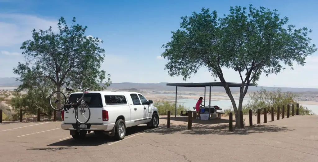
North of town lies Elephant Butte Lake, a 40-mile reservoir with 200 miles of shoreline. The butte that gives it its name is the eroded core of an ancient volcano. South along NM 187 is Caballo Lake, where bald and golden eagles spend the winter from October through spring. Below it, cottonwoods shade Percha Dam State Park, which the byway counts among the five top birding areas in the state.
Highway 152 over the Black Range
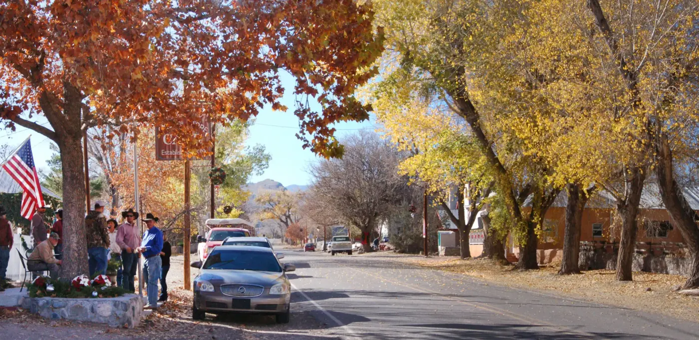
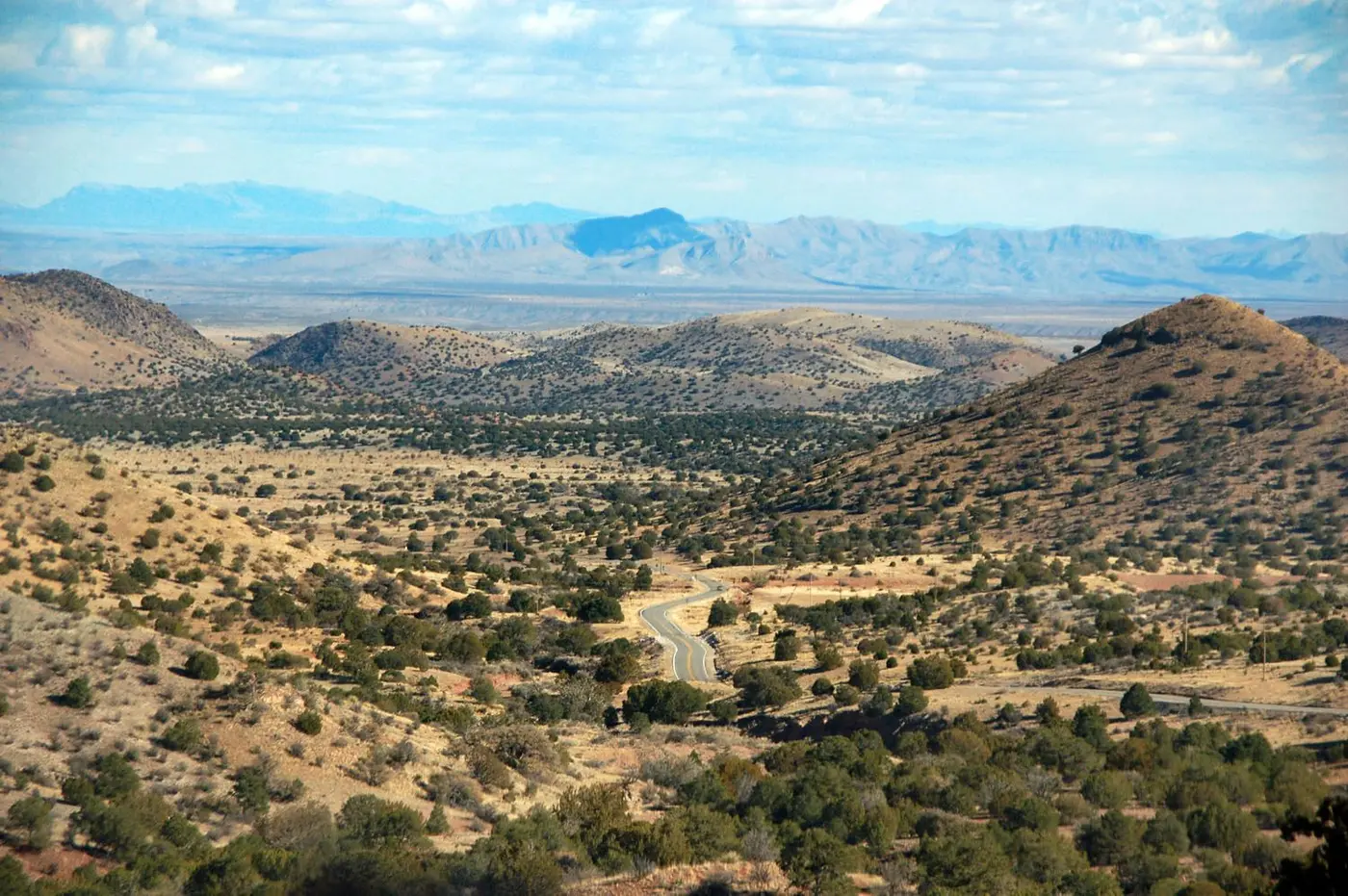
From Caballo, NM 152 runs west about 50 miles. It climbs out of the river valley through ranch country to Hillsboro, founded in 1877 when gold and silver were found nearby. Hillsboro’s main street is lined with trees and holds the Black Range Museum, bought by the Hillsboro Historical Society in 2016, and a General Store about 120 years old that now serves as a restaurant. The town has a Bookfest in March and the Heritage Music Festival in mid-May. Hillsboro was the seat of Sierra County when the county was formed in 1884. In 1934 the seat moved to Hot Springs. Hillsboro sued the county commissioners for election fraud and lost. After that, according to the Apache history booklet, the county records were stolen from the new courthouse several times and “mysteriously” turned up again in Hillsboro’s old one. The commission then sold the red brick courthouse for salvage. A piece of wall and one arch are all that remain.
A side road runs about 18 miles south to Lake Valley, a silver town named in 1878 for nearby ancient lake beds. The Apache booklet gives a different account: the town was established in 1881 about seventeen miles south and moved three times. Its population once passed 4,000. The Bureau of Land Management now cares for what survives: weathered wooden buildings, a school, a garage and several houses. This was the site of the Bridal Chamber Mine, which the byway calls one of the richest veins of silver ever found.
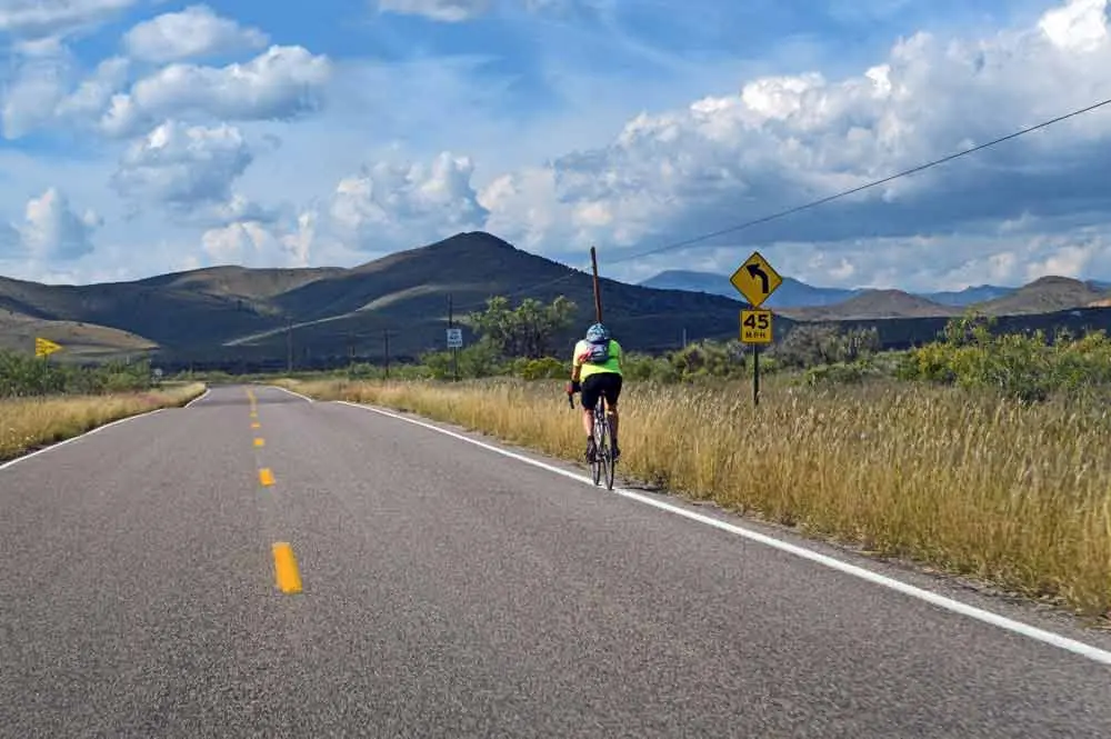
West of Hillsboro the road reaches Kingston, an 1880s mining town with a reputation for “wild and wooly ways.” Its historic district includes a town bell cast from local ore. The old cemetery outside town is still in use. The byway’s page says the Percha Bank has been restored but is currently closed. The foundation describes the bank as once the largest in New Mexico Territory, now the only original building in Kingston still fully intact, with an ornate lobby and a vault that once held $7 million in silver. Each mid-September the Black Range Lodge holds Pickamania, three days of regional folk music, at its pavilion. Bicycle endurance races cross the range here, usually in May, and the road is part of the southern cross-country Bike Centennial route.
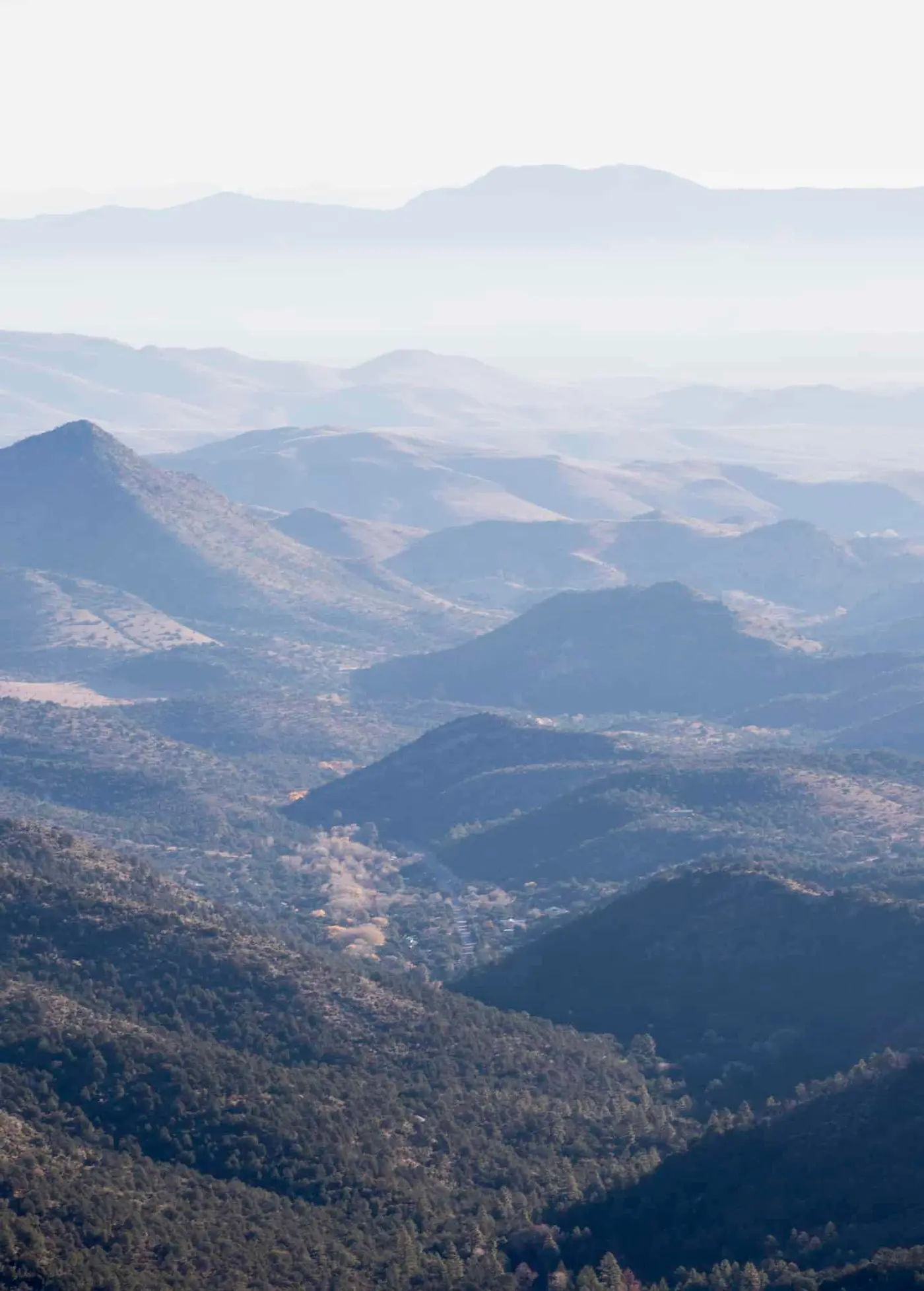
Past Kingston the road gains nearly 3,000 feet in nine miles to crest at Emory Pass. The byway gives the pass as above 8,000 feet, with a view of Caballo Lake more than 50 miles east. The county’s tourism site says more than 8,200 feet and a view of more than 40 miles. The pass is named for Lt. W. H. Emory, who led the Army of the West through the Black Range in 1846 with Kit Carson as his guide. The Apache booklet says Emory probably crossed at another pass farther south. Going down the west side, the tall pines give way to juniper, cedar and scrub oak. The byway ends at the junction of NM 152 and NM 35, just south of San Lorenzo in the Mimbres River Valley, where the Trail of the Mountain Spirits Scenic Byway begins.
Silver towns on the road to Beaverhead
The northern route crosses the south end of Elephant Butte Lake and turns west on Highway 52 to Cuchillo. Hispanic farmers and ranchers settled the town in the 1850s. It takes its name from Cuchillo Negro, or Black Knife, Creek, which was named for an Apache chief. Cuchillo later became a stagecoach stop halfway between the railroad at Engle and the mines near Chloride and Winston. The 2008 plan lists it as home to an annual Pecan Festival. On a side trip, Monticello is laid out around a Spanish plaza. Its perimeter buildings had thick adobe walls with gunsight holes, and remains of those walls can still be seen. San Ignacio Catholic Church, built in 1867, stands on the north side of the plaza. The church gave the building to the Monticello Canyon Association in 2024. Its tower was torn down in spring 2025 because of structural damage. Every December the growers and artisans of Monticello open a Holiday Store selling candies, wool clothing, salves and OM balsamic vinegar. The village has no stores, and every building is on private property.
Winston’s old houses and stores date from the silver boom of the late 1800s. The town once had more than three thousand people, on land that had been home to the Warm Springs Apaches. Each June Winston holds a fiesta with a parade, a barbecue and cow-chip poker. The foundation says Winston was started by “gentle folk” who could not stand the rougher crowd in Chloride. Chloride was founded in 1879 when silver chloride ore was discovered. It also grew to three thousand people, and it was wiped out in the silver panic of 1893. Its Pioneer Store, built of ponderosa pine logs, is now a museum. The Monte Cristo Saloon next door is a gallery. A live oak in the middle of Wall Street is called the Hangin’ Tree. By the foundation’s account, rowdy cowboys and miners were dunked in the stock tank and then chained to the tree until they reformed.
Highway 59 crosses mountain meadows and the Continental Divide Trail and ends at Beaverhead, where the pavement stops at the edge of the Aldo Leopold Wilderness. The Civilian Conservation Corps had a camp here in the 1930s. Fire and trail crews are now stationed here by season, and when the office is staffed it hands out maps. Somewhere north of Winston lies Ojo Caliente, the old Warm Springs reservation. The byway’s history says Indian agent John Clum trapped and captured Geronimo there in 1883, and the government then closed the reservation.
Model Ts in the box canyon
The spring 2026 cover of La Crónica de Nuevo México shows Model T cars working through the box canyon on Highway 152 in 1921, before the bridge was built. Joseph Britton’s article in that issue traces the southern road to early ambitions for a “Dam to Dam Highway.” The first road opened in 1921, running south of the present route, with a grand opening picnic followed by processions to Silver City and Hillsboro. A federal aid project finished the box canyon bridge between Hillsboro and Kingston in June 1927. Two more steel truss bridges went up on that stretch in 1929. Governor Clyde Tingley saw the last stretch over the pass finished in 1935, as a gravel road. In 1939 the highway commission voted to ease the grades and straighten the curves from Kingston to the Mimbres. Part of the road had been oiled by 1949. Governor Jack Campbell cut the ribbon on the fully paved road on September 20, 1964. Statewide renumbering made it NM 152 in 1988. In 1995 a concrete bridge replaced the Warren steel deck truss in the box canyon. The old bridge still stands on the site with a National Register marker. The two 1929 bridges were replaced in 2021.
The state named the route a New Mexico Byway in 1995. An advisory committee chaired by Albert Lyon was formed in May 1996, and the first corridor management plan followed in 1997. National designation came in 2005.
Goyakla, and a bookkeeper from Kansas
The byway’s account says Geronimo was born Goyakla, “one who yawns,” in the 1820s near the headwaters of the Gila River, into the Bedonkohe Chiricahua. In the 1850s Mexican attackers killed his mother, his wife and three children. During the Apache revenge raid that followed, Mexicans called out to San Geronimo for help, and the name stuck to him. He surrendered in Skeleton Canyon on September 4, 1886, and was sent east. After riding in Theodore Roosevelt’s 1905 inaugural parade, he asked the President to let him go home. He died at Fort Sill in 1909.
LaRena Miller led the work that made the road a byway. She was born in Eureka, Kansas, in 1946. Her family moved to Truth or Consequences in November 1951, and she graduated from Hot Springs High School in 1964. She worked as a bookkeeper before moving into tourism. As executive director, she put her name to the Apache history booklet, which was researched with students at Western New Mexico University’s Gardner Learning Center. She directed the byway until December 2022 and died on October 31, 2023. Her family asked that donations go to the Geronimo Trail National Scenic Byway in lieu of flowers.
Notable Events
- 1846Emory, guided by Kit Carson, led the Army through the mountains; the pass later bore Emory's name even though he probably crossed farther south. geronimotrail.com
- 1921An initial road crossed south of the present highway; its grand opening picnic was followed by processions to Silver City and Hillsboro. digitalrepository.unm.edu
- 1927A Federal Aid Project completed the bridge between Hillsboro and Kingston. digitalrepository.unm.edu
- 1929Two additional steel truss bridges were originally built on the Hillsboro–Kingston stretch. digitalrepository.unm.edu
- 1930sBeaverhead was a CCC camp site; the CCC performed reclamation work. geronimotrail.com
- 1935The last stretch across the pass was finished under Governor Clyde Tingley; it remained gravel. digitalrepository.unm.edu
- 1939Commission voted to lower grades and straighten curves on the Kingston–Mimbres section. digitalrepository.unm.edu
- 1949Part of the road had been oiled, but the last gravel section awaited later paving. digitalrepository.unm.edu
- 1964Governor Jack Campbell performed the ribbon cutting for the fully paved road. digitalrepository.unm.edu
- 1988Statewide highway renumbering gave the road its current designation. digitalrepository.unm.edu
- 1995A concrete bridge replaced the original Warren steel deck truss bridge, which remained on site with a National Register marker. digitalrepository.unm.edu
- 1995The trail was designated a New Mexico Byway. sierracountynewmexico.info
- 1996The Geronimo Trail Advisory Committee was organized to define the byway's direction, stressing preservation and economic development. geronimotrail.com
- 1997The first corridor management plan had been published by 1997. geronimotrail.com
- 2005Designated a National Scenic Byway. nsbfoundation.com
- 2008The corridor management plan was updated in April 2008. geronimotrail.com
- 2021Two bridges on the Hillsboro–Kingston section were replaced. digitalrepository.unm.edu
- 2022Miller continued as director of the scenic byway until her retirement. articobits.com
People
- LaRena M. Miller, Led development of the byway and continued as director until retirement (07/30/1946 - 10/31/2023).
- Clyde Tingley, Governor during completion of the final Black Range stretch (1935).
- Jack Campbell, Governor who performed ribbon cutting for the fully paved road (September 20, 1964).
- Richard C. Dillon, Governor attending the road celebration at San Lorenzo.
- Geronimo, Bedonkohe Chiricahua Apache whose homes were along the Gila and Mogollon Mountains; birth name Goyakla, meaning one who yawns.
- Kit Carson, Guided Lt. W. H. Emory through the Black Range Mountains (1846).
- LaRena Miller, Executive Director of Geronimo Trail National Scenic Byway.
- W. H. Emory, Led the Army of the West through the Black Range; Emory Pass named for him, though he probably crossed another pass (1846).
Sources
- newmexico.org/places-to-visit/scenic-byways/geronimo-trail-national
- geronimotrail.com
- geronimotrail.com/contact-us
- geronimotrail.com/tour-and-travel-advice
- geronimotrail.com/geronimo
- geronimotrail.com/about
- geronimotrail.com/cmp/cmp2008.pdf
- fhwaapps.fhwa.dot.gov/bywaysp/byway/2091
- nsbfoundation.com/nb/geronimo-trail-national-scenic-byway