
High Road to Taos Scenic Byway
Chimayó, New Mexico. Scenic byway.
Details
- Where
- Chimayó, NM. No street address stated. Directions
- Getting there
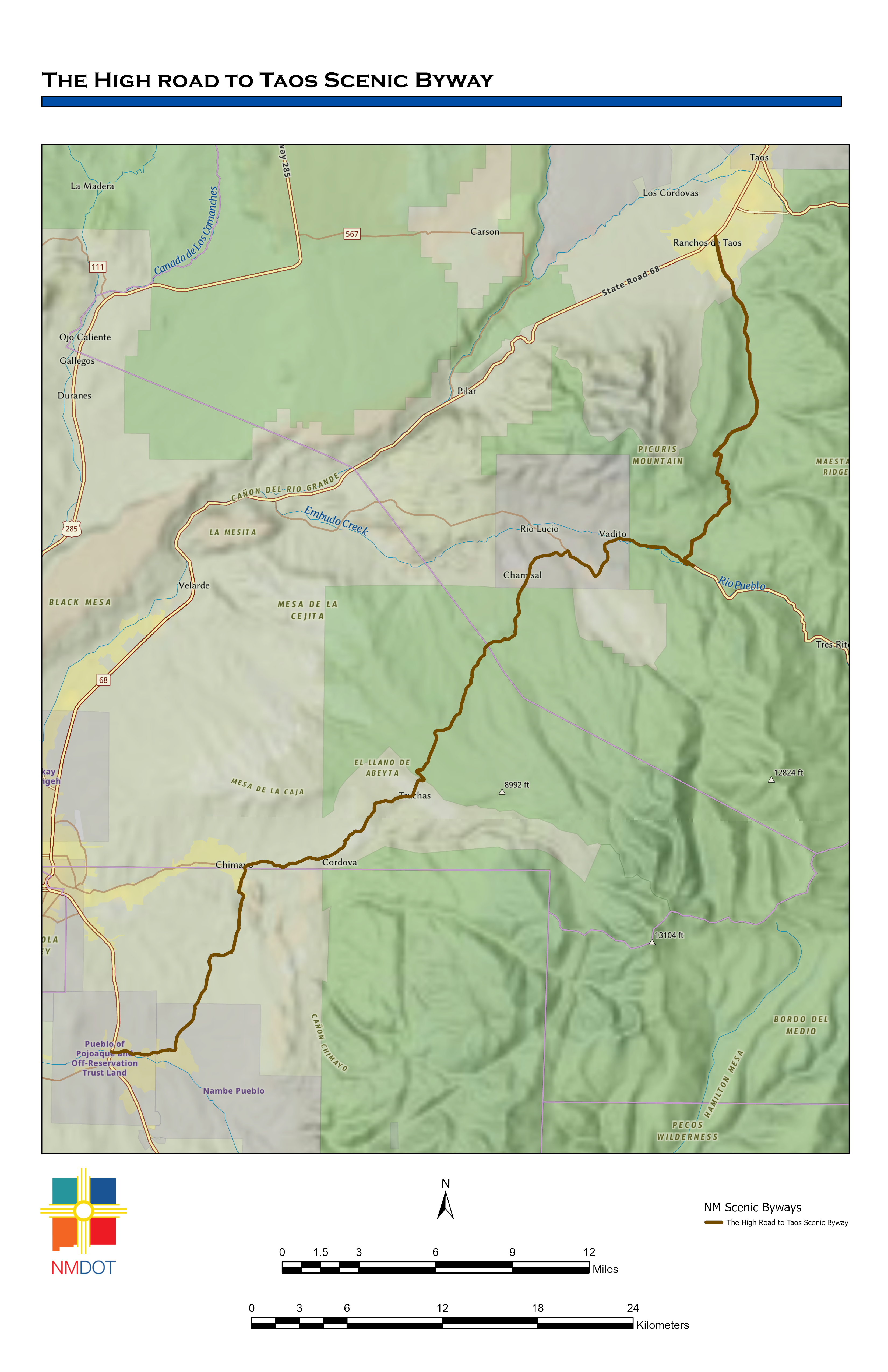
- 105-mile byway through the Sangre de Cristo Mountains between Santa Fe and Ranchos de Taos; the drive takes a little over two hours without stops.
- Access
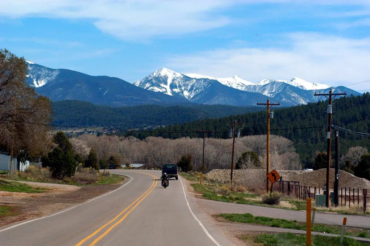
- Road conditions change with elevation, warmer-month afternoon thunderstorms are common, and roads within Carson National Forest can be narrow and winding; larger RVs and trailers should allow extra time.
- Website
- newmexico.org
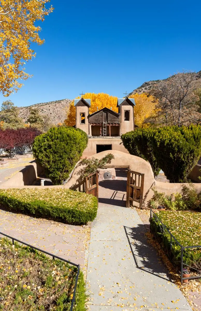
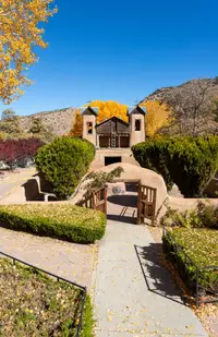
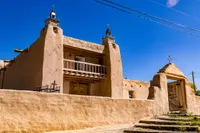
In a side chapel of El Santuario de Chimayó there is a hole in the floor, El Posito, filled with earth. Pilgrims kneel to take a little of it away and pray for healing. In 2009 the state Tourism Department described the walls of the adjoining chapel as covered with religious paintings and statues, crosses, rosaries, and the crutches of those who say they were healed. The sanctuary stands in a farming valley. It was built during the Spanish colonial era, in the early 1800s, to mark the presence of the healing clay, the tierra bendita. The Tourism Department counts it among the most important Catholic pilgrimage sites in the United States, drawing hundreds of thousands of visitors each year. The Santa Fe New Mexican calls it one of the largest in North America. At the Easter season, the 2009 account says, the road to Chimayó fills with people who have walked many miles.
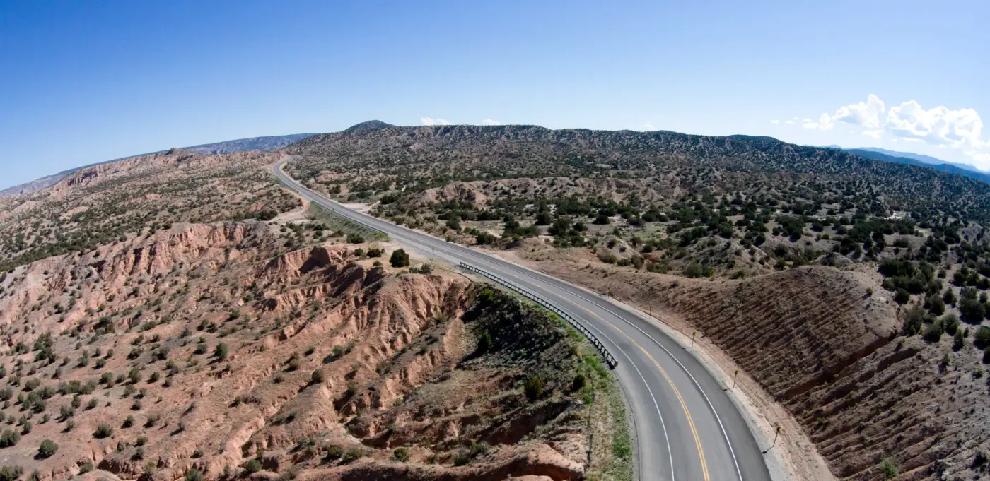
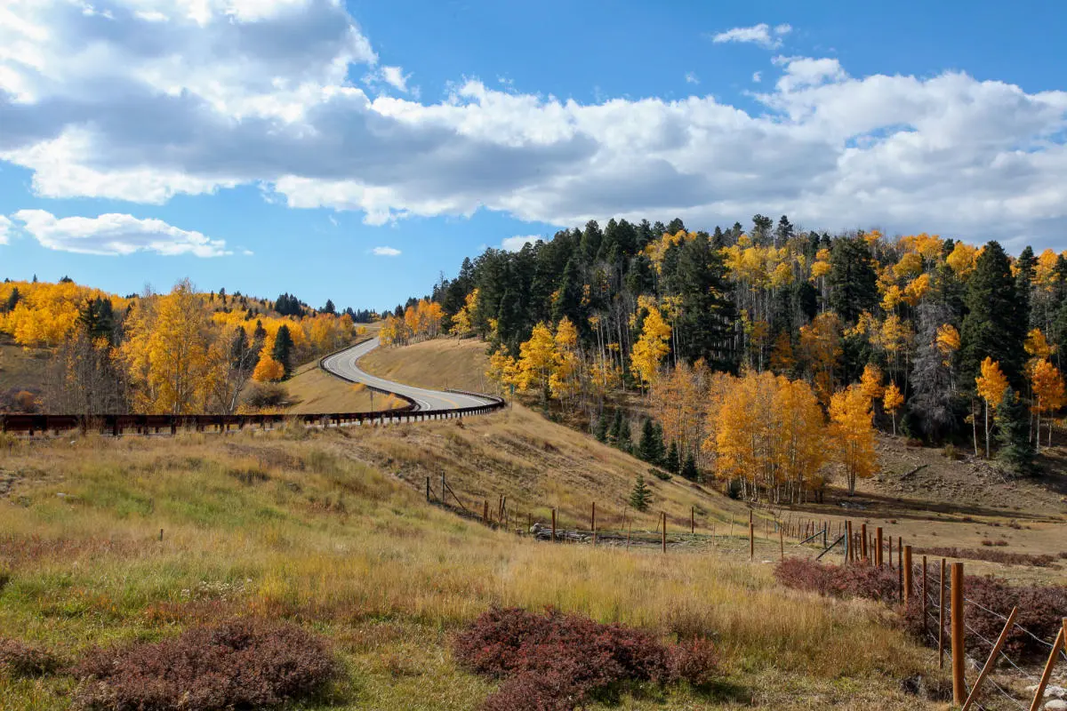
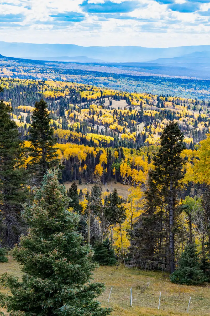
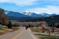
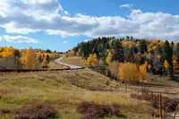
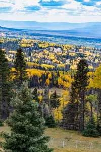
Chimayó lies on the High Road to Taos Scenic Byway, 105 miles through the Sangre de Cristo Mountains between Santa Fe and Ranchos de Taos, southwest of Taos. Without stops the drive takes a little over two hours. The road passes through Spanish villages and older Pueblo communities. Red rock and high desert valleys give way to forested slopes near Carson National Forest, which covers more than 1.5 million acres. The air cools as the road climbs, and afternoon thunderstorms are common in the warmer months. New Mexico lists the route among its state scenic byways under a program the state enacted on July 31, 1998.
The 2009 Tourism Department account began the trip north of Santa Fe. It took U.S. 285/84 north and then N.M. 503 east to the Pueblo of Nambé. That Tewa pueblo has been occupied since about 1300. Castaño de Sosa first described it in 1591 as a square structure two stories high with a central plaza. From there the byway turns north on N.M. 520 into Chimayó, which the same account knew for its Spanish weaving and crafts, its food, and its church. The village was founded in the early eighteenth century around a defensible plaza and still keeps that pattern.
Up N.M. 76 to Truchas and Las Trampas
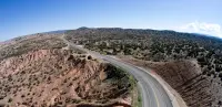
Beyond Chimayó the byway follows N.M. 76 northeast. The 2009 account describes “creased and crinkled badlands, polka-dotted with scrubby pinon and juniper,” with the Jemez Mountains on the horizon. A short detour reaches Córdova, whose houses spread along a narrow road through a valley. The village is noted for its traditional wood carvers.
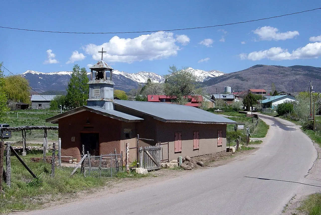
Truchas sits about 10 miles from the Chimayó valley and much higher, at about 8,000 feet. Its name means trout. The road through the village runs beside a deep canyon, and some of the buildings on its rim have stood there for generations. To the east the land falls away toward the Española valley. To the west the Truchas Peaks rise 5,600 feet above the village. They reach over 13,000 feet and are among the highest in the New Mexico Rockies. Truchas began as a frontier outpost built in a square, with an entrance just wide enough for one cart to pass. The Tourism Department now calls it a remote Spanish land grant village.
The village long had a reputation, in the New Mexican’s words, as “legendary for its hostility toward outsiders.” In 2002 the paper ran the headline “Not Another Taos — Yet” as galleries opened along the main street. David Cordova, a real estate agent with deep family ties to Truchas, remembers the hippies in rainbow buses who came to Dixon and Truchas in the 1960s and ‘70s. “People thought at the time, ‘Were they going to clash with the Hispanic culture that was there?’” he said. “To be honest with you, a lot of friendships and bonds were made, and people are still there from back in the ‘70s.”
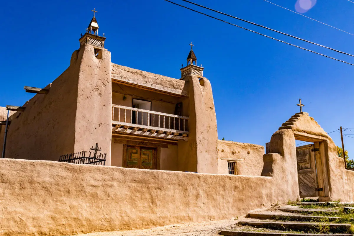
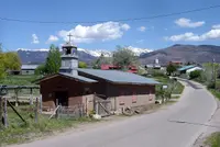
Past Truchas a wide valley opens toward Las Trampas, settled in 1751. Its church, San José de Gracia, was built in 1760. The 2009 account ranks it among the finest surviving eighteenth-century churches in New Mexico and says all of its original paintings have survived. In Las Trampas an acequia runs above the ground through an old hollowed log.
Picuris, Peñasco, and the plaza at Ranchos
At the junction of N.M. 76 and 75, the entrance to Picuris Pueblo is half a mile north. The sources date its church differently. The 2009 account calls it the third church built at the pueblo and dates it to the 1770s. It describes unadorned adobe, small plants growing on top of the buttresses, and a pueblo ladder leaning against a wall. The current Tourism Department page calls it San Lorenzo de Picurís, a 200-year-old adobe church that the Pueblo community restored by hand.
The route turns back south on N.M. 75 through Peñasco, a village of about 500 people near the Jicarita and Trampas peaks. Sahd’s hardware store has served it for over 50 years. The owner, Randy Sahd, is also the volunteer fire chief. In the mornings locals come in to banter and choose their newspapers.
From Peñasco, N.M. 518 runs north. A pullout at milepost 51.5 looks over Placita and its valley. At milepost 61.2, on U.S. Hill, the Carson Forest spreads out below the Taos Mountains, with Wheeler Peak, at 13,161 feet New Mexico’s highest, above them all. At milepost 66.4 is the Forest Service’s Pot Creek Cultural Site. Its parking-lot gate is kept locked against pot hunters, so visitors park on the road and walk up. A one-mile loop trail leads to a kiva and a reproduction pueblo room, with signs on the prehistoric people of the area.
The road then runs through Talpa into Ranchos de Taos. The 2009 account notes an old campo santo along the way: flowers of every color and crosses of every kind among low marble gravestones. The byway ends at the San Francisco de Asís Church on the plaza at Ranchos. A bronze Saint Francis stands with his arms lifted. The church’s massive adobe walls glisten with straw, and many artists and photographers have tried to capture them. Inside are whitewashed walls, dark-stained vigas, and the red and green of the reredos behind an intricately carved altar. Two plain glass windows, one on either side, light the room in place of stained glass.
In 2009 the church shared the plaza with private homes and Andy’s La Fiesta saloon. Renovated shops and galleries stood between collapsing adobes. A purple coyote fence stood near turquoise window frames, under red roofs and red ristras, while ranchero music played from a boom box.
Open studios in September
For two weekends at the end of September, the High Road Artisans open studios, galleries, and community centers in villages along 50 miles and three counties, from Chimayó to Taos. The 2025 tour was the 28th. It was free and self-guided and showed more than 30 artists working in weaving, woodcarving, painting, pottery, jewelry, and photography. Some studios are in centuries-old adobe homes. Restaurants took part as well. Metal artist Kimberly Pollis of Gifted Hands Studio named Rancho de Chimayó, Gabriels outside Santa Fe, food carts, and Sugar Nymphs, which shares its building with a historic theater.
The painter and musician Chris Morel has lived on the High Road for 31 years. He paints the hand-built territorial adobes, which were raised with communal labor and are now being replaced with metal and manufactured materials. “We need to record the history of this area, because the earth is starting to take back the buildings,” he said. “Sometimes I’ll meet family members who share their stories.” His studio has 16-foot ceilings. “I love winter scenes, a creek in the light and shadow, the way the light drops when storms come over the mountains,” he said. “I love the drama. That’s why painters have always come here.”
Land at thirty thousand an acre
Many of these villages were founded as Spanish land grants, and land has usually passed down through families. A 2015 Santa Fe County plan for Chimayó describes the old pattern. Until the mid-1900s, houses clustered on the hills above the acequias, leaving the irrigated farmland open on the gentle slopes and valley floor. In May 2026 the New Mexican reported land along N.M. 76 regularly listed at $20,000 to $30,000 an acre.
Ronald Mascareñas is a fifth-generation rancher and Taos County commissioner. He lives in Llano, near Peñasco, on family land, and feeds hay to his roughly 20 cows and to his horses Gabby, Princess, and Bella. He remembers when nearly every pasture held cattle or sheep and neighbors gathered for a yearly ditch cleaning. Land he bought at $3,000 an acre in the mid-1990s would likely bring $30,000 or more today, he said. “Now, there’s only a handful of us with cattle.” In Truchas, the acequia mayordomo Dio Dominguez said buyers are “paying way, way over market.” In Peñasco, Randy Sahd put it this way: “We’ve gone from being a rural community to a bedroom community.”
On N.M. 76 in Chimayó, the old post office burned in a 2023 Valentine’s Day fire. The site is now about half an acre of bare concrete with a Sotheby’s sign out front. Pat Oviedo-Trujillo, 76, has lived in Chimayó all her life and traces her family back 12 generations in the region. She compares what is happening to The Milagro Beanfield War, John Nichols’s 1974 novel of Hispanic farmers and a fight over water. “I’ll die here,” she said. “But all of a sudden, my property taxes have gone through the roof, and it’s hard to maintain even what you have.”
Notable Events
- 1751Settled in 1751, the village of Las Trampas on the byway holds one of the finest surviving eighteenth-century churches in New Mexico, San Jose de Gracia, built in 1760. web.archive.org
- 2023The old Chimayó post office along N.M. 76 lost its status as the community's post office in a 2023 Valentine's Day inferno, and the site is now about half an acre of concrete wiped clean of any structure. santafenewmexican.com
- The village of Chimayó on the byway was founded around a defensible plaza and still retains that pattern. web.archive.org
People
- Pat Oviedo-Trujillo, Lifelong Chimayó resident on the High Road who can trace her family roots back twelve generations in the region.
- Ronald Mascareñas, Fifth-generation rancher and Taos County commissioner for District 5 who lives in Llano, a High Road community near Peñasco, on property that has been in his family for generations.
- Chris Morel, Painter and musician who has lived and worked along the High Road to Taos for more than three decades and shows landscape paintings on the High Road Art Tour (more than three decades).
Sources
- newmexico.org/places-to-visit/scenic-byways/high-road-to-taos
- assets.simpleviewinc.com/simpleview/image/upload/v1/clients/newmexico/taos_cef53eae-1100-46a3-9b1d-9d5c740c8ec1.png
- web.archive.org/web/20090804190933/http://www.newmexico.org/explore/scenic_byways/highroad.php
- scenic.org/state/new-mexico
- santafenewmexican.com/news/local_news/land-prices-soar-along-high-road-to-taos-spurring-concerns-of-cultural-loss/article_224699ef-d0ee-45f6-9b34-24a95018370f.html
- taosnews.com/tempo/arts/the-high-road-art-tour-capturing-drama-and-the-stories-of-the-land/article_1e65f765-731d-5e39-9bce-031fa3430f1b.html