Ebbetts Pass Scenic Byway
Arnold, Calaveras County, California. National Scenic Byway; generally open from June to mid-November.
Details

- Where
- Arnold, Calaveras County, CA. No street address stated. Directions
- Getting there
- Stretching from Calaveras Big Trees to Grover Hot Springs State Park.
- Fees
- None.
- Access
- Caltrans closed and one-way-traffic-controlled portions of the byway in Alpine County for drainage work on August 11 and August 13, 2026.
- Phone
- (209) 728-8471
- Website
- scenic4.org
- Managed by
- Ebbetts Pass Scenic Byway Association.
- Established
- September 22, 2005.
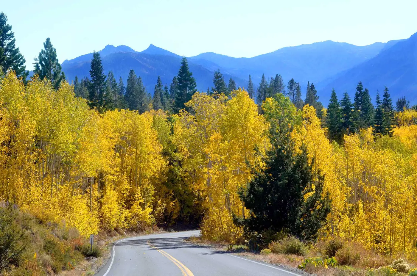
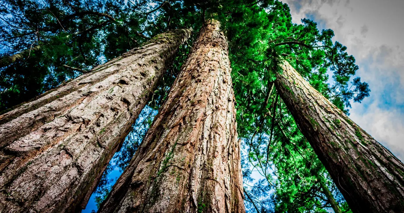
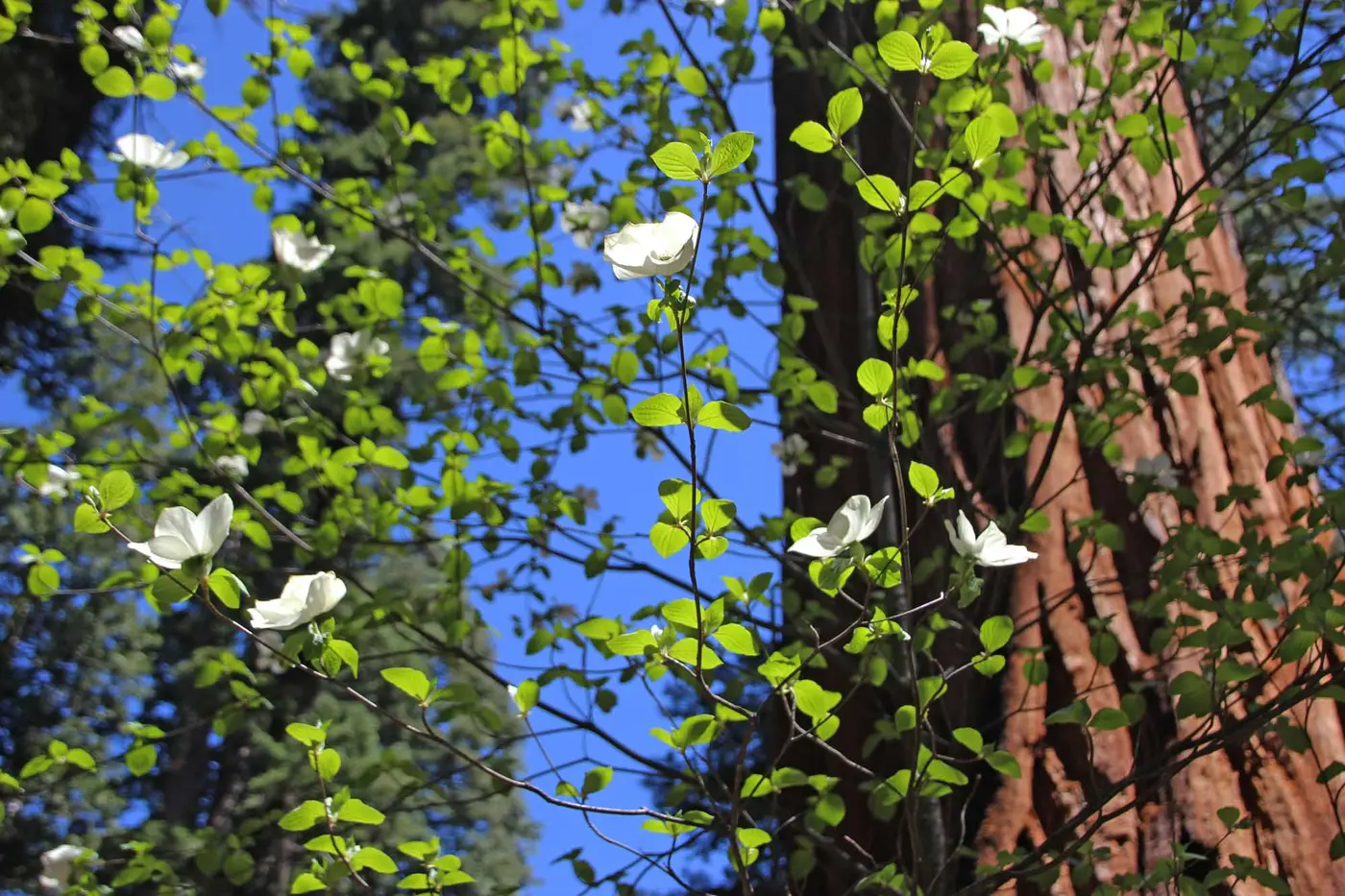
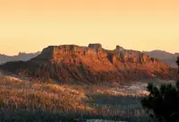
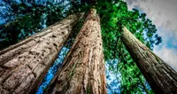
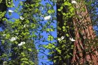
At Arnold, in Calaveras County, Highway 4 is a full-width state highway with a double yellow line, shoulders, and passing lanes. The Sierra Nevada Logging Museum stands at this western end. A short way up the road, Calaveras Big Trees State Park holds groves of Giant Sequoia and dogwoods and gives access to the Stanislaus River. From here the Ebbetts Pass Scenic Byway follows Highways 4 and 89 for 61 miles to Markleeville in Alpine County, where Grover Hot Springs State Park keeps a swimming pool fed by natural hot springs. Between the two parks the route climbs from about 4,000 feet to about 8,700. It crosses the Stanislaus and Humboldt-Toiyabe National Forests and passes the Carson-Iceberg and Mokelumne Wilderness areas. The state named it a California State Scenic Highway in 1971, and the U.S. Department of Transportation made it a National Scenic Byway on September 22, 2005. There is no fee. The Federal Highway Administration allows two hours to drive the byway and five hours to explore it. The Ebbetts Pass Scenic Byway Association, a nonprofit with a post office box in Arnold, publishes a guidebook with a folded map of 38 points of interest.
Lake Alpine to Silver Creek
The full-width highway runs from Arnold to Lake Alpine on the west side and from Silver Creek to Markleeville on the east. Between Lake Alpine and Silver Creek the road becomes a narrow two-lane strip with no center line and no shoulders as it winds over the Sierra crest. Some stretches are steep and curved, with precipitous drop-offs. The association recommends the section for cars and motorcycles and says it cannot take tractor-trailers, buses, or large RVs. Its driving page quotes Wikipedia on the eastern slope, where “many of the hairpin corners are blind, and steepen suddenly at the apex, making it necessary to shift to first gear in most vehicles.”
No gas, food, or lodging is available between Lake Alpine and Markleeville, and cell phones will likely have no service over much of the pass. Snowstorms can come as early as September and as late as June. The high segment generally opens in June and stays open to mid-November. The association’s road page says it reopens after snowmelt, normally by Memorial Day, though sometimes as early as April or as late as July. In winter the Forest Service grooms parts of the closed road for snowmobiles, cross-country skis, and snowshoes. In 2026 the association announced the pass open on May 7, with a warning about icy patches and snowmelt water on the road. On May 26 Caltrans closed it again ahead of a storm. On August 11 a crew shut the highway near Raymond Meadows from eight to four for drainage work.
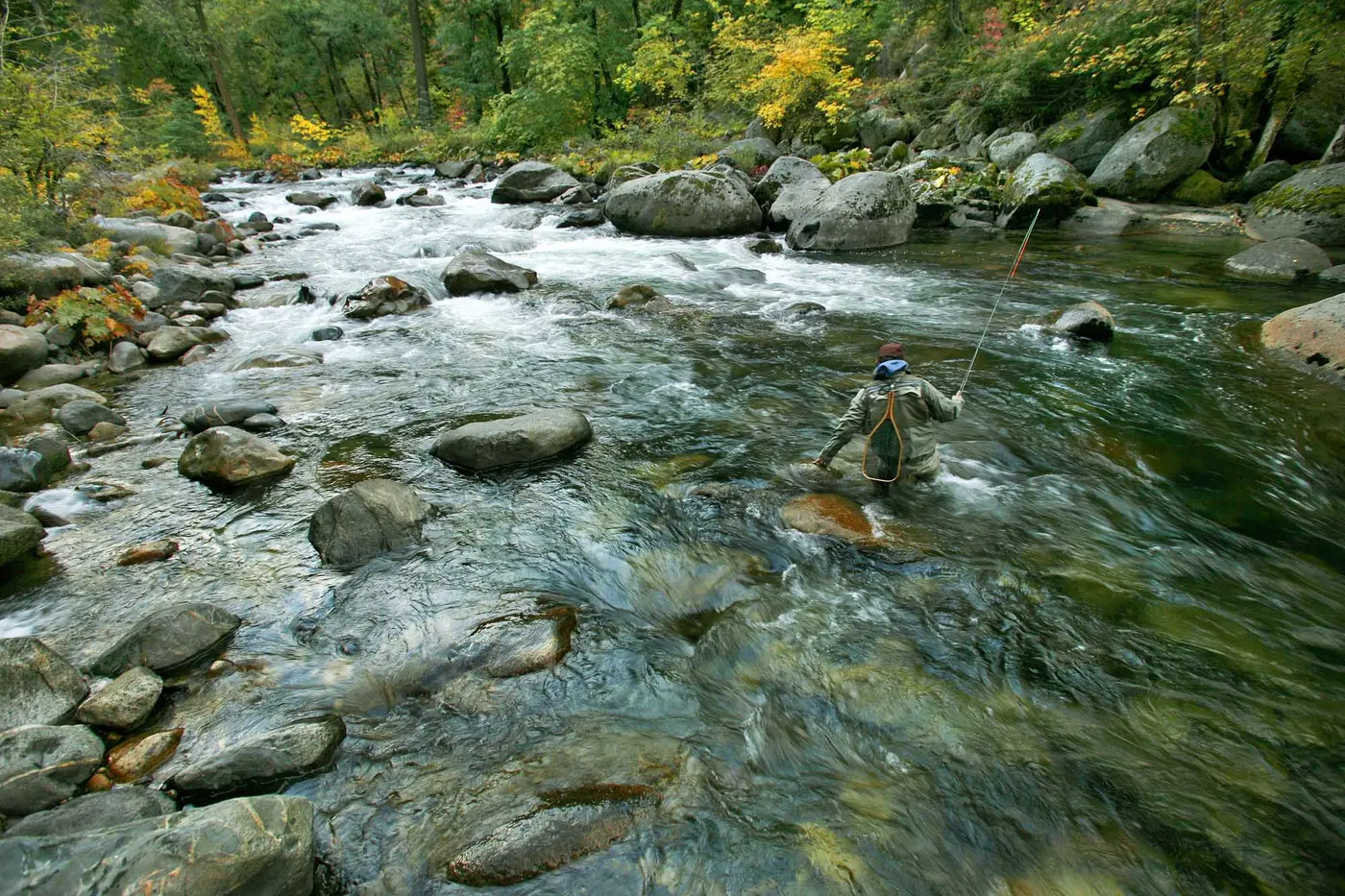
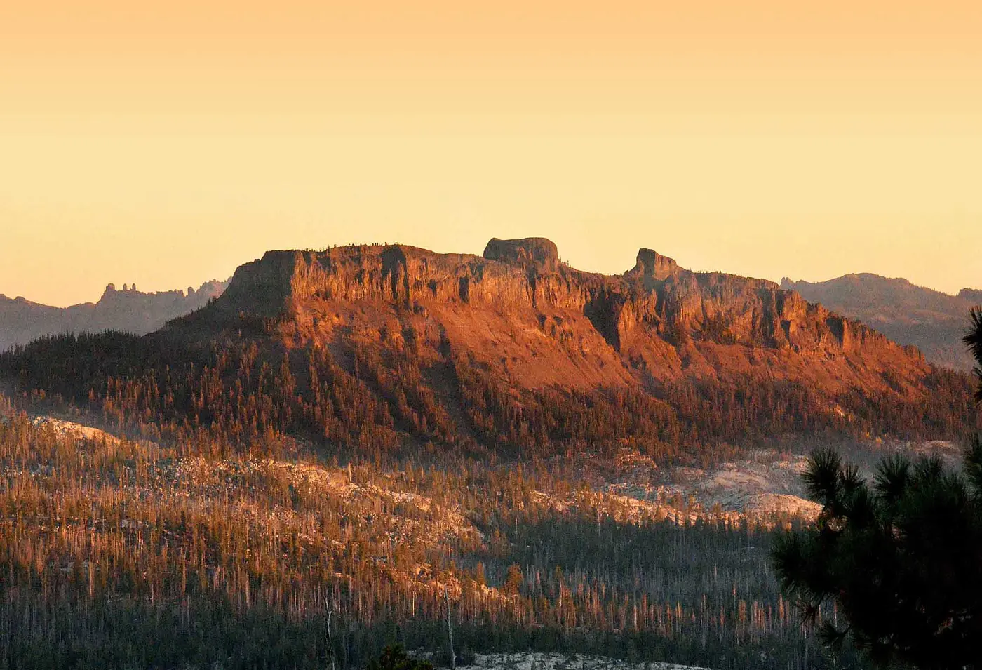
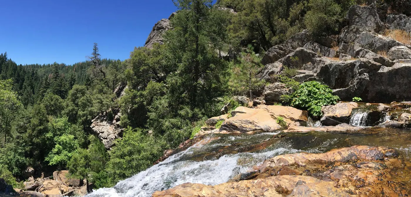
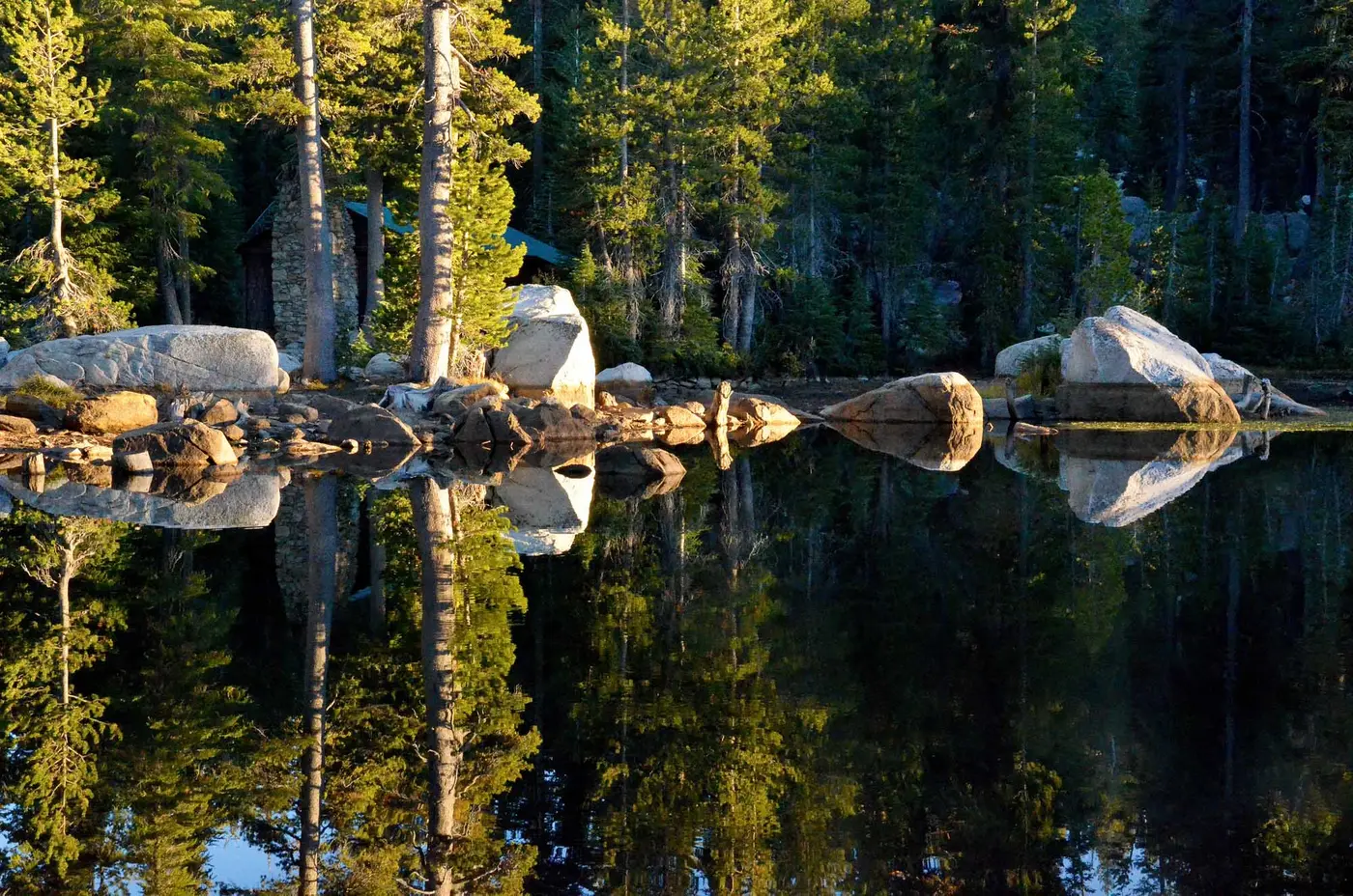
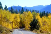
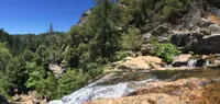
The named stops along the high road read like a gazetteer of the old route. Liberty Vista gives the first west-to-east view into the glaciated canyon of the North Fork of the Stanislaus. Bear Valley sits above 7,000 feet, with a village and a ski resort. Cape Horn Vista looks out over the Carson-Iceberg Wilderness, the Union, Utica, and Spicer reservoirs, and the Dardanelles beyond. Mosquito Lake has cabins set on granite boulders. Then come Pacific Valley and Hermit Valley. Ebbetts Pass, the Pacific Crest Trail trailhead, and Kinney Reservoir lie close together at about 8,700 feet. East of the summit are Volcanic Neck and Upper Cascade Falls, Scossa’s Cow Camp, Chalmer’s Mansion and Pioneer Cemetery, and Silver Mountain City. Silver Mountain City was founded in the 1860s after a silver strike and served for a time as the county seat. At the East Fork of the Carson River a wildlife pullout gives views of bald eagles and river otters, and anglers fish there catch-and-release. Monitor Pass is known for its aspens in fall.
At the summit, on the left for eastbound drivers, stands a Forest Service marker for California Historical Landmark No. 318, registered July 12, 1939. By the summer of 2006 its letters had chipped so badly that the marker was hard to read. Syd Whittle of Mesa, Arizona, asked the Alpine Ranger Station for permission to repaint them. Later that month he and a friend drove back up the pass and spent a day repainting this marker and the one at Hermit Valley.
HermitFest on the Bear Valley ball field
Each year the Byway Association holds a celebration of the byway, HermitFest West, on the first Saturday after Labor Day in Bear Valley. The 2026 festival was the 18th. It ran from noon to eight on Saturday, September 12, on the Bear Valley Ball Field, with free admission. The Deep Thicket Dwellers opened the stage. Grover Anderson & The Lampoliers, The Highlife Band (also billed as the High Life Cajun Band), and Greg Sutton & Friends followed, and the HermitFest All-Stars closed the night.
Food trucks lined the field: Cowboy Caribe BBQ, Los Pinos Taco Truck, Jonesing for Java, Wild Ginger Catering, Doa’s Delights, and Bear Valley Adventure Company. The organizers recommended cash. Katie Lackler gave pottery demonstrations, Fun Fine Artist ran a tie-dye table, and the Motherlode Weavers & Spinners set up among the artisans. A kids’ zone had a puppet show, a showcase by High Sierra Circus, and face painting. Limited campsites next to the field went first-come, first-served, and the association passed along word of a possible late-night jam in the campgrounds. On Sunday morning came yoga on the ball field at nine, a guided mountain-bike ride with Bear Valley Adventure Company, and a Sunday Morning Music Revival from ten to two. Sales of festival shirts help keep the event free. After the 2026 festival the association thanked the musicians, volunteers, vendors, sponsors, and its board, “who makes this event happen.”
The man the pass was named for
People have crossed the Sierra Nevada for more than 12,000 years. The Calaveras Heritage Council writes that Native American trails were undoubtedly used by the first trappers and traders. Jedediah Smith appears to have been the first Euro-American to enter the region. In May 1827 he and two companions left a camp on the lower Stanislaus and crossed the range in eight days, on a path thought to have paralleled present Highway 4. A 1964 marker in Bear Valley gives Smith’s crossing as 1821. In 1841 the Bidwell-Bartleson party entered California somewhere near present Lake Alpine, having left its wagons on the eastern side. By 1849 several parties were using the route between Genoa and Murphys, and many described the Big Tree Grove in their diaries. The name of the first traveler is unknown.
The sources disagree about the pass’s namesake. The Heritage Council says Major John Ebbetts crossed Border Ruffian Pass with a large group of prospectors in April 1850. In 1853 he surveyed the route for the Atlantic and Pacific Railroad Company. His friend George H. Goddard formally named the pass in 1854, after Ebbetts died in a steamer explosion. The Byway Association gives a different account. It says “Major” J.A.N. Ebbetts claimed to have led miners and mules east in 1851 over a snow-free pass at the head of the Mokelumne. In 1853, from a high peak just east of Sonora Pass, he pointed north and showed Goddard, a mapmaker, the pass he thought he had taken. Goddard then placed the name on a map he completed in 1856, “approximately in the region he thought Ebbetts had pointed out.”
Notes on the Historical Marker Database add more. Ebbetts reached California in 1849 at thirty-three as captain of the Knickerbocker Exploring Party of New York. On April 16, 1854, the boilers of the steamer Secretary exploded as it entered Petaluma Creek, and Ebbetts was fatally injured. His name appears as Ebbett and as Ebbetts, and Goddard spelled it Ebbet. The summit marker quotes Goddard calling the pass a “route of great promise – probably the best one for a transcontinental railway.” The railroad never came. The U.S. Geological Survey made the name official in 1893, while drafting the Markleeville Quadrangle.
Leonard Withington Noyes reached Bear Valley by 1853. In 1856 he and Dr. N. C. Congdon of Murphys took the contract for the Big Tree Road, paid for by a $4,000 subscription. Noyes set out with an ox team, his tools, and some ten men, and he left a journal:
“there was but little work excepting to turn over a stone and role it down hill out a fallen tree out of the road little or no grading and a fiew log bridges to build… I never spent a pleasenter summer the Montain Air agreeing with me so well.”
In forty days, he wrote, an emigrant train passed over the road. He plotted the route with “a very small pocket compass,” and his party named Silver, Indian, Faith, Hope, and Charity valleys. That branch of the road left the main trail in Hermit Valley and went north over Border Ruffian Pass toward Genoa. The summit marker says no emigrant train ever used Ebbetts Pass itself. On April 15, 1857, the county supervisors laid out a road from Murphys to Big Trees from maps held by James Sperry, who owned the Murphys Hotel and the Mammoth Tree Hotel. From 1856 to 1876, John A. “Snow-Shoe” Thompson carried mail over these mountains on skis he made like those of his native Norway, across 90 miles of snow-covered trails and passes.
Turnpike and tollgate at Bear Valley
Silver built the road over the summit. After the Comstock strike in Nevada and rich finds on Silver Mountain in the early 1860s, a group of Murphys men organized the Big Tree and Carson Valley Turnpike Company in the winter of 1861–62. They raised $4,000, and construction began in June 1862 between Black Springs and Carson Valley. Oxen worked the grade at first, but horses soon replaced them. The new road crossed the crest a bit east of the old Ebbetts Pass trail, at a slightly lower elevation. William H. Brewer of the Whitney Geological Expedition saw it in the summer of 1863:
“now, suddenly, travel is pouring over this route. A stage runs part of the way, until the road becomes very rough; then a ‘saddle train,’ with a few pack animals, takes the passengers and their luggage to the promised land… at Silver Valley the stages stop and saddle trains start.”
Silver Valley is now the site of Lake Alpine. The Utica Mining Company’s dam in the late 1880s flooded Dennis/Osborn’s Hotel and a race course that had stood beside the road. William Dennis had fenced 160 acres in the valley in the summer of 1859 and brought in 300 head of cattle. In the spring of 1864 he sold his Bear Valley ranch to Harvey Blood.
The turnpike company was short of money. In 1864 it agreed to let Blood and Jonathan Curtis, early settlers of Bear Valley, pay the back taxes, finish the road, and collect tolls. The profits never came, and in 1868 the indebted company was deeded to the two men. Blood’s station in Grizzly Bear Valley had a station house, barns, corrals, and a tollgate. Other gates stood at Cottage Springs, Hermit Valley, the summit, and Silver Mountain City. T. J. Matteson had begun twice-weekly mail between Murphys and Genoa in 1861. By 1869, stages of Matteson and Garland’s line were leaving Murphys daily for Big Trees, Bear Valley, Hermit Valley, and Silver Mountain. The stopping places along the way began as ranching and grazing operations, where travelers often slept on dirt or wood floors, a dozen or more to a room. In May 1891 the toll was 40 cents for a horse and vehicle, 25 cents for a horseman, and a cent a head for goats and sheep. Blood fought several lawsuits over his right to collect, and he kept the road until 1910. The Byway Association dates the toll road from 1861, the Heritage Council from 1864. The 1964 marker of the Matucca Chapter of E Clampus Vitus stands on Station House Road just west of Toll Gate Road. It reads: “Harvey Blood collected tolls at this point from 1864-1910.”
The Alpine Highway and the ski road
Blood died in 1910. In 1911 the state accepted the road into the highway system as the Alpine Highway, though only as far as the Big Trees. The first car had reached Gardner’s in 1908. In June 1923 Calaveras County signed an agreement with the Secretary of Agriculture to build the road for $212,000, and mules and scrapers finished the grading in 1926. In December 1926 the Big Trees Road joined the state system. It was surfaced to the Big Trees in the early 1930s, and the road over the summit was oiled gradually over several years. In the 1960s the Bear Valley Ski Area brought a realignment between Camp Connell and Bear Valley, and maintenance stations went up at Camp Connell and Cabbage Patch. The ski resort opened in the fall of 1967, the same year the new Highway 4 was completed.
Notable Events
- 1827Smith and two companions crossed in eight days. calaverashistory.org
- 1849Several parties used the route by 1849; the first traveler is unknown. calaverashistory.org
- 1850Ebbetts crossed Border Ruffian Pass in April with prospectors. calaverashistory.org
- 1850sThe Emigrant Trail through Ebbetts Pass was opened in the early 1850s. ohp.parks.ca.gov
- 1854Goddard formally named the pass after Ebbetts's death in a steamer explosion. calaverashistory.org
- 1856Thompson delivered mail on two routes. calaverashistory.org
- 1856The construction contract went to Noyes and Congdon. calaverashistory.org
- 1857County supervisors established a road using maps and survey held by James Sperry. calaverashistory.org
- 1859According to the San Andreas Independent, Dennis claimed and began fencing land in Silver Valley in summer 1859. calaverashistory.org
- 1860sThe company built the toll road over Ebbetts Pass to Silver Mountain. hmdb.org
- 1861Murphys men organized the company to build toward the mining areas. calaverashistory.org
- 1861Matteson began the first Murphys-to-Genoa mail delivery. calaverashistory.org
- 1862Construction began between Black Springs and Carson Valley. calaverashistory.org
- 1864Blood and Curtis agreed to pay back taxes and complete unfinished portions. calaverashistory.org
- 1864Blood collected tolls at the marker location. hmdb.org
- 1864The inscription says no emigrant train used this route, but a stage road was completed to serve Silver City mining. hmdb.org
- 1864A toll road named Carson Valley and Big Tree Road was completed to help open Nevada's Comstock Lode. ohp.parks.ca.gov
- 1868The indebted company was deeded to Blood and Curtis. calaverashistory.org
- 1869Matteson and Garland's stage line ran daily from Murphys to route communities and back. calaverashistory.org
- 1887County supervisors granted Blood a franchise to collect tolls for the next ten years. calaverashistory.org
- 1893USGS officially named the location for Ebbetts while drafting the Markleeville Quadrangle. calaverashistory.org
- 1911The road was accepted into the state system as Alpine Highway; the source then limits state takeover to Big Trees. calaverashistory.org
- 1919Supervisors sought federal funds to grade the Murphys-to-Big Trees road. calaverashistory.org
- 1923The county entered a construction agreement with the Secretary of Agriculture. calaverashistory.org
- 1926Grading was completed using mules and scrapers. calaverashistory.org
- 1926Big Trees Road became part of the state system. calaverashistory.org
- 1930sRoad surfacing reached Big Trees; summit oiling followed gradually. calaverashistory.org
- 1939The Ebbetts Pass Route historical landmark has a registration date of July 12, 1939. ohp.parks.ca.gov
- 1960sBear Valley Ski Area development prompted road realignment and regrading. calaverashistory.org
- 1964Matucca Chapter, E Clampus Vitus erected the marker. hmdb.org
- 1967The new route was completed the same year the ski resort opened. calaverashistory.org
- 1971Ebbetts Pass was designated a California State Scenic Highway. nsbfoundation.com
- 2005Ebbetts Pass received National Scenic Byway status. nsbfoundation.com
People
- Dr. N. C. Congdon, Received the 1856 Big Tree Road contract with Leonard Withington Noyes.
- George H. Goddard, Ebbetts's friend and exploration-party member who formally named the pass (1854).
- Harvey S. Blood, Bear Valley settler who agreed in 1864 to pay back taxes and complete unfinished portions of the road.
- James Sperry, Held maps and survey used to establish the road (April 15, 1857).
- Jedediah Story Smith, Appears to have been the first Euro-American to enter the region.
- John A. “Snow-Shoe” Thompson, Delivered mail from 1856 to 1876 along two routes using Norwegian-style skis.
- Jonathan Curtis, Bear Valley settler who agreed in 1864 to pay back taxes and complete unfinished portions of the road.
- Leonard Withington Noyes, Investigated the route for a wagon road and received the 1856 Big Tree Road contract with Dr. N. C. Congdon.
- Major John Ebbetts, Used this Sierra crossing according to the inscription (1850).
- T. J. Matteson, Began the first mail delivery between Murphys and Genoa in 1861.
- William H. Brewer, Whitney Geological Expedition leader who visited and described the road (July and August of 1863).
- William Dennis, First claimant of land in Silver Lake Valley; sawmill owner and rancher.
- Harvey Blood, Collected tolls at Bear Valley (1864-1910).
- Jedediah Smith, Used this Sierra crossing according to the inscription (1821).
- Snowshoe Thompson, Used this Sierra crossing according to the inscription (1856-76).
- G.H. Goodard, Surveyor to whom the pass was pointed out; regarded it as promising for a railway (1853).
- Major John Ebbett, Pass namesake in the USFS inscription.
- George Goddard, Mapmaker who placed the name Ebbetts Pass on a map completed in 1856.
- J.A.N. Ebbetts, Claimed to have led miners and mules east over the Sierra in 1851; namesake of Ebbetts Pass.
- Jedediah Strong Smith, The first Euro-American who appears to have entered the region; he and two companions crossed the Sierra Nevada in May 1827.
Sources
- scenic4.org
- scenic4.org/the-route/points-of-interest
- dot.ca.gov/caltrans-near-me/district-10/district-10-news/winter-pass-traffic-advisory-ebbetts-08-11-2026
- fhwaapps.fhwa.dot.gov/bywaysp/byway/2305
- scenic4.org/the-route
- scenic4.org/the-route/the-driving-experience/road-conditions
- scenic4.org/the-route/the-driving-experience
- scenic4.org/plan-your-trip
- scenic4.org/contact
- roads.dot.ca.gov/roadscell.php?roadnumber=4
- instagram.com/ebbettspass
- facebook.com/Scenic4
- scenic4.org/history
- ohp.parks.ca.gov/listedresources/Detail/318
- nsbfoundation.com/nb/ebbetts-pass-national-scenic-byway
- fs.usda.gov/r05/stanislaus/recreation/ebbetts-pass-national-scenic-byway