

Lassen Scenic Byway
Old Station, Shasta County, California. National Forest Scenic Byway.
Details

- Where
- Old Station, Shasta County, CA. No street address stated. Directions
- Getting there
- If you begin the byway at Old Station, take Highway 44 southeast to the junction with Highway 36, whereupon you follow 36 to the right. Follow it past Westwood to the Junction with Highway 147. Past Chester, follow Highway 147 or 36 to the junction with Highway 89 and turn right to journey through Lassen Volcanic National Park to the junction with Highway 44 and conclude at Old Station.
- Fees
- None.
- Access
- The byway can also be driven in the opposite direction.
- Phone
- 530-257-2151
- Website
- recreation.gov
- Managed by
- Department of Transportation.
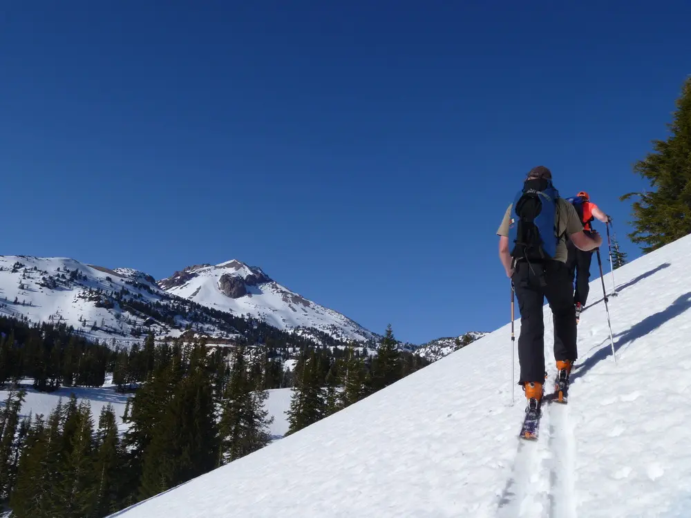
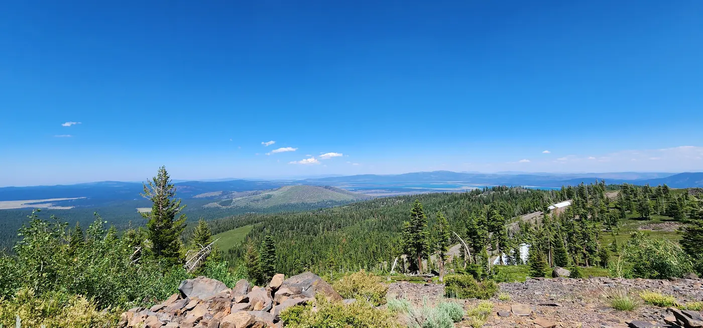
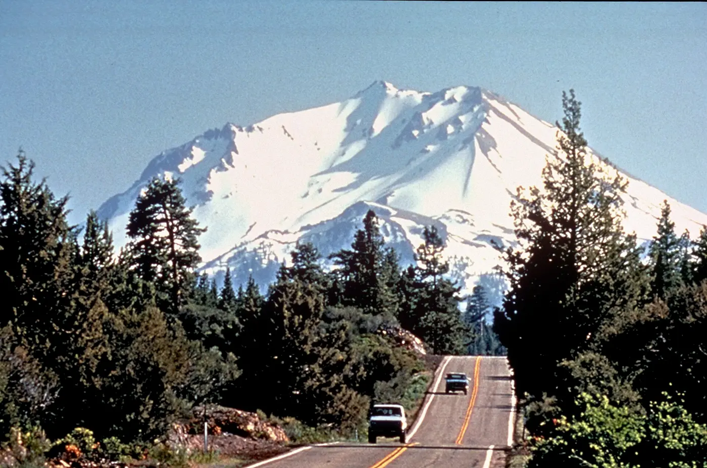
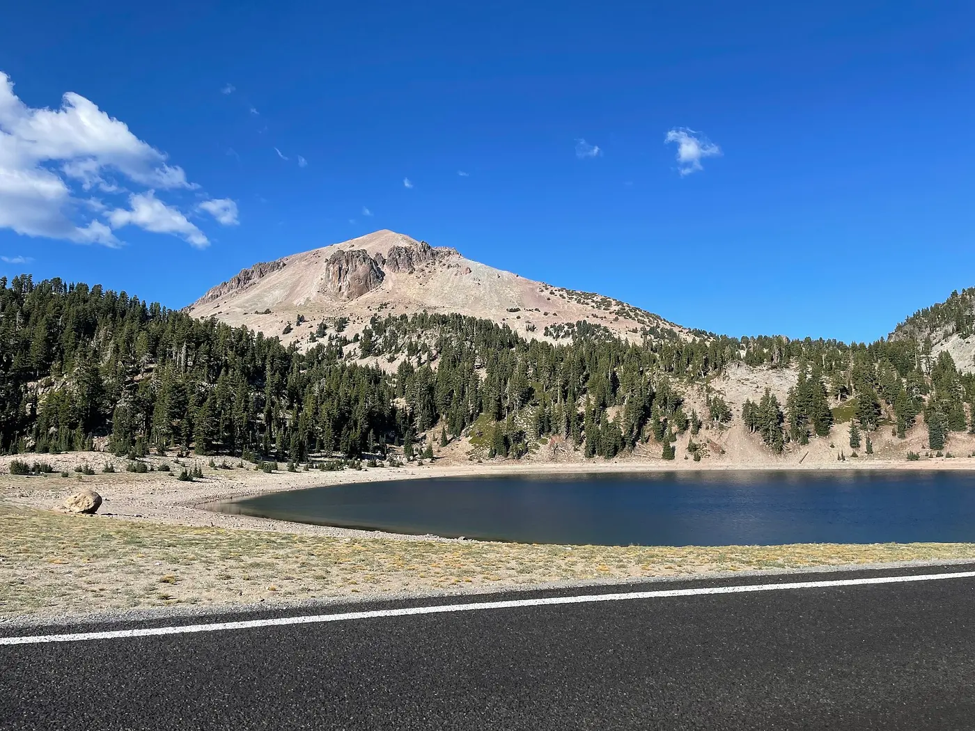
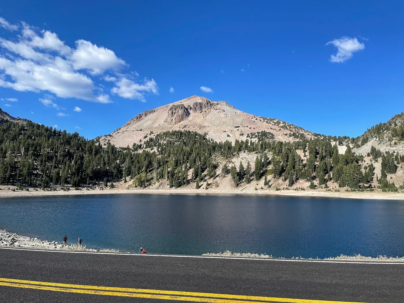
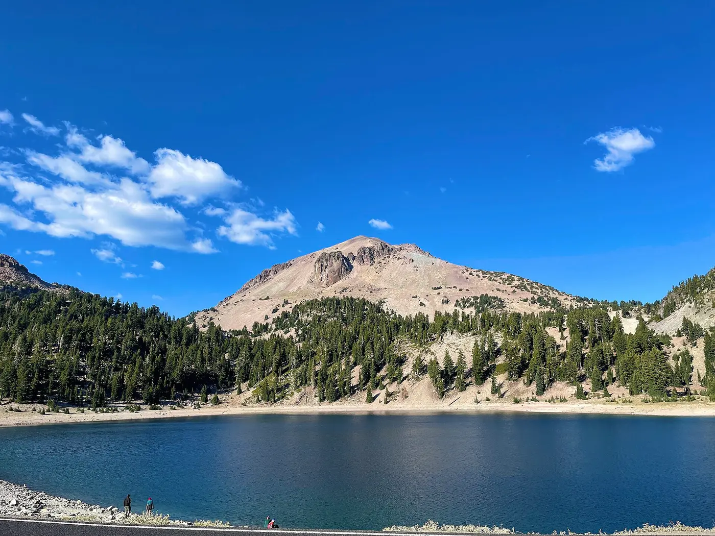
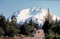
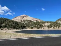
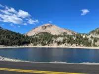
Winding through both Lassen National Forest and Lassen Volcanic National Park, the Lassen Scenic Byway is one of the most scenic drives in California. The 185-mile loop can be traveled in only a day, but it s best to take the time to appreciate its beauty and diversity by making frequent stops to hike, take photos, fish, camp, and just enjoy the fascinating nature that surrounds you.
Notable Events
- 1852The Nobles Emigrant Trail, established as a westward emigration route, crisscrosses the road between Hat Creek and Manzanita Lake; visible sections are interpreted with a bronze plaque. npshistory.com
- 1907Cinder Cone National Monument and Lassen Peak National Monument were established by proclamation of President Theodore Roosevelt, to be administered by the U.S. Forest Service. nps.gov
- 1914A series of highly publicized, dramatic volcanic eruptions of Lassen Peak preceded the park's establishment. nps.gov
- 1925The congressional appropriation provided $110,000 for the first year's construction of a road system in Lassen; engineers in the Portland Field Office prepared plans for what became known as the Lassen Loop Highway. npshistory.com
- 1931Park officials gathered to dedicate the park and celebrate the opening of the park highway, with summit fireworks simulating an eruption of Lassen Peak. nps.gov
- 1931Three-day public dedication ceremonies were held the weekend of July 24, with a dozen rangers from Yosemite and Crater Lake assigned to the park for the weekend. npshistory.com
- 1948The second phase of the road's construction widened the entire route and paved a portion of it, in response to increased recreational travel after World War II. npshistory.com
People
- Peter Lassen, Guide for whom the park is named; developed a pioneer trail associated with the park and tried to establish a city.
- William Nobles, Discovered an alternate route to California through Lassen; developer of a pioneer trail associated with the park (1851).
- Horace M. Albright, Then National Park Service Director who consented to summit fireworks simulating an eruption of Lassen Peak at the 1931 park dedication (1931).
- Benjamin Loomis, Local resident who in the early 1920s built a road connecting Manzanita Lake with the Devastated Area after the 1914 eruptions (early 1920s).
- Mathias Supan, Austrian immigrant who staked a sulfur claim along Sulphur Creek, mined sulfur and salt for San Francisco markets, and carved the wagon trail the southwest section of the road follows (mid-1860s).
Sources
- fhwaapps.fhwa.dot.gov/bywaysp/byway/2195
- scenicbyways.info/byway/2195.html
- recreation.gov/gateways/13730
- nps.gov/lavo/planyourvisit/conditions.htm
- nps.gov/lavo/learn/management/park-significance.htm
- fs.usda.gov/r05/lassen/recreation
- nps.gov/lavo/learn/news/newsreleases.htm
- npshistory.com/publications/lavo/nr-hwy.pdf
- nps.gov/lavo/learn/management/park-significance.htm
- nps.gov/lavo/learn/historyculture/people.htm
- nps.gov/lavo/learn/photosmultimedia/audio.htm