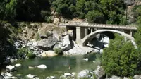
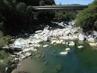
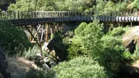
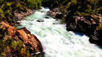
Yuba-Donner Scenic Byway
Truckee, Yuba, Sierra, and Nevada counties County, California. Scenic Byway.
Details

- Where
- Truckee, Yuba, Sierra, and Nevada counties County, CA. No street address stated. Directions
- Getting there
- Yuba Donner loops around on State Highways 89, 49, and 20 and on Interstate 80 in northeastern California.
- Fees
- None.
- Access
- Expect winter driving conditions along higher elevation stretches.
- Phone
- 530-587-3558
- Managed by
- Truckee Ranger Station, Tahoe National Forest.
- Established
- 1992.
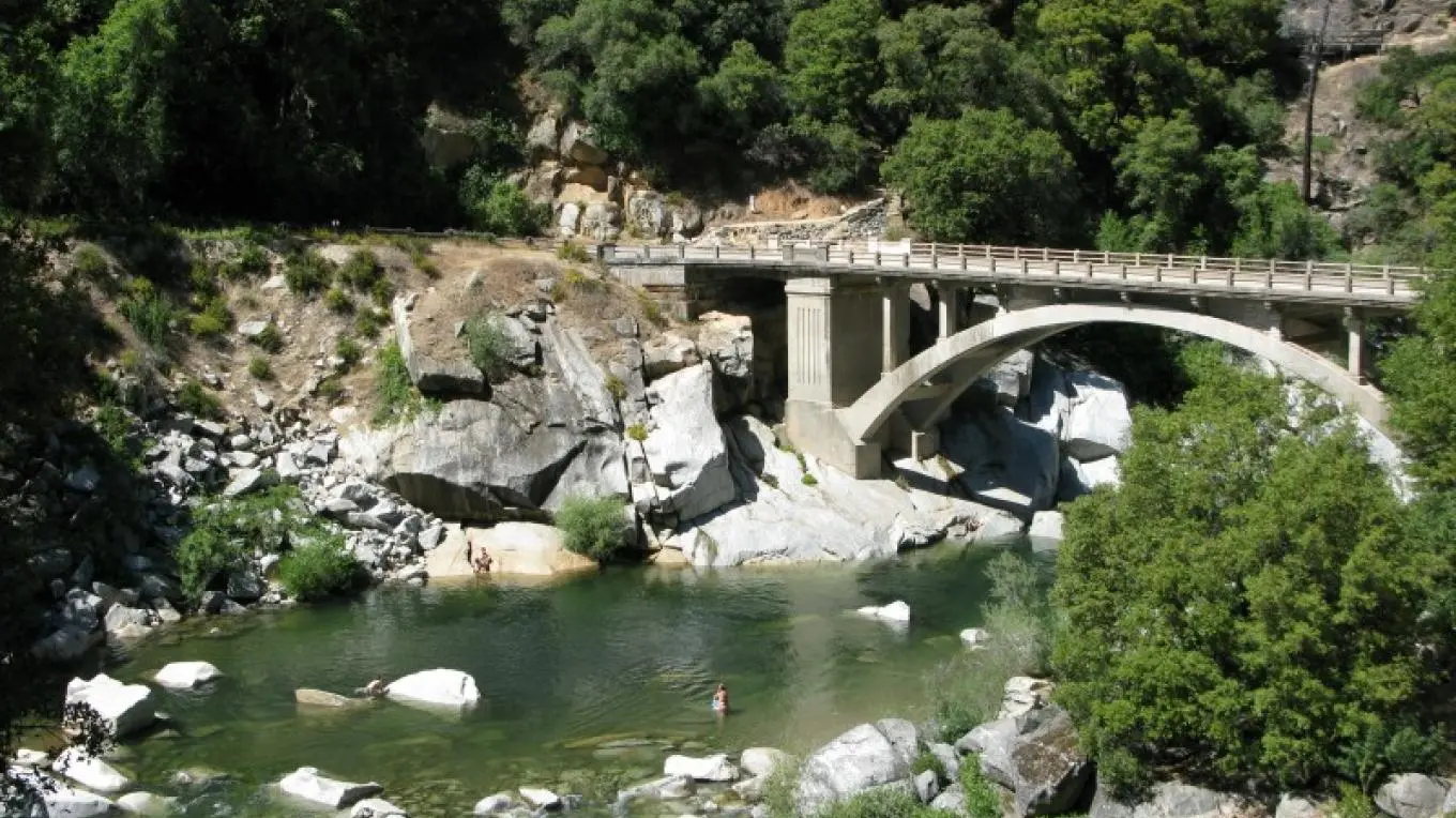
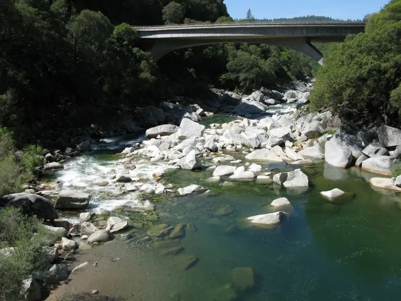
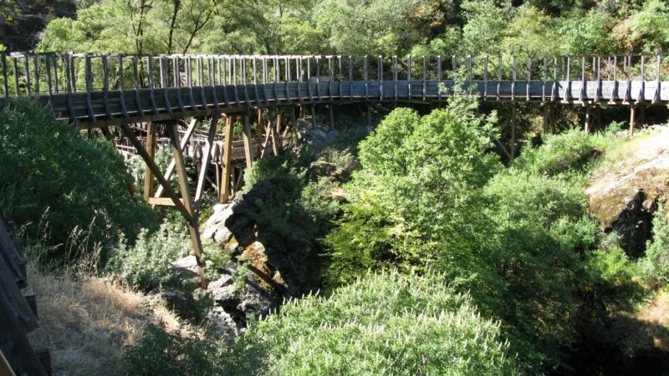
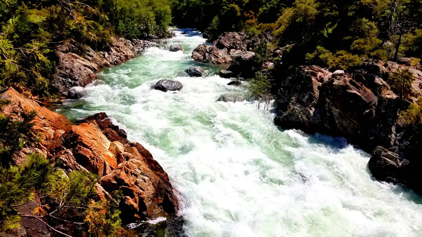
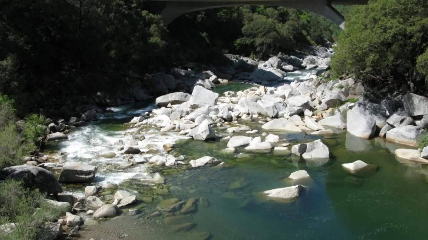
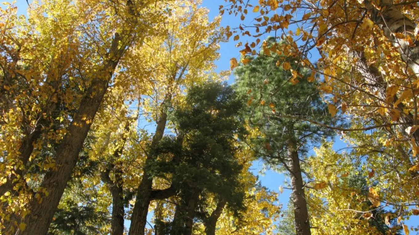
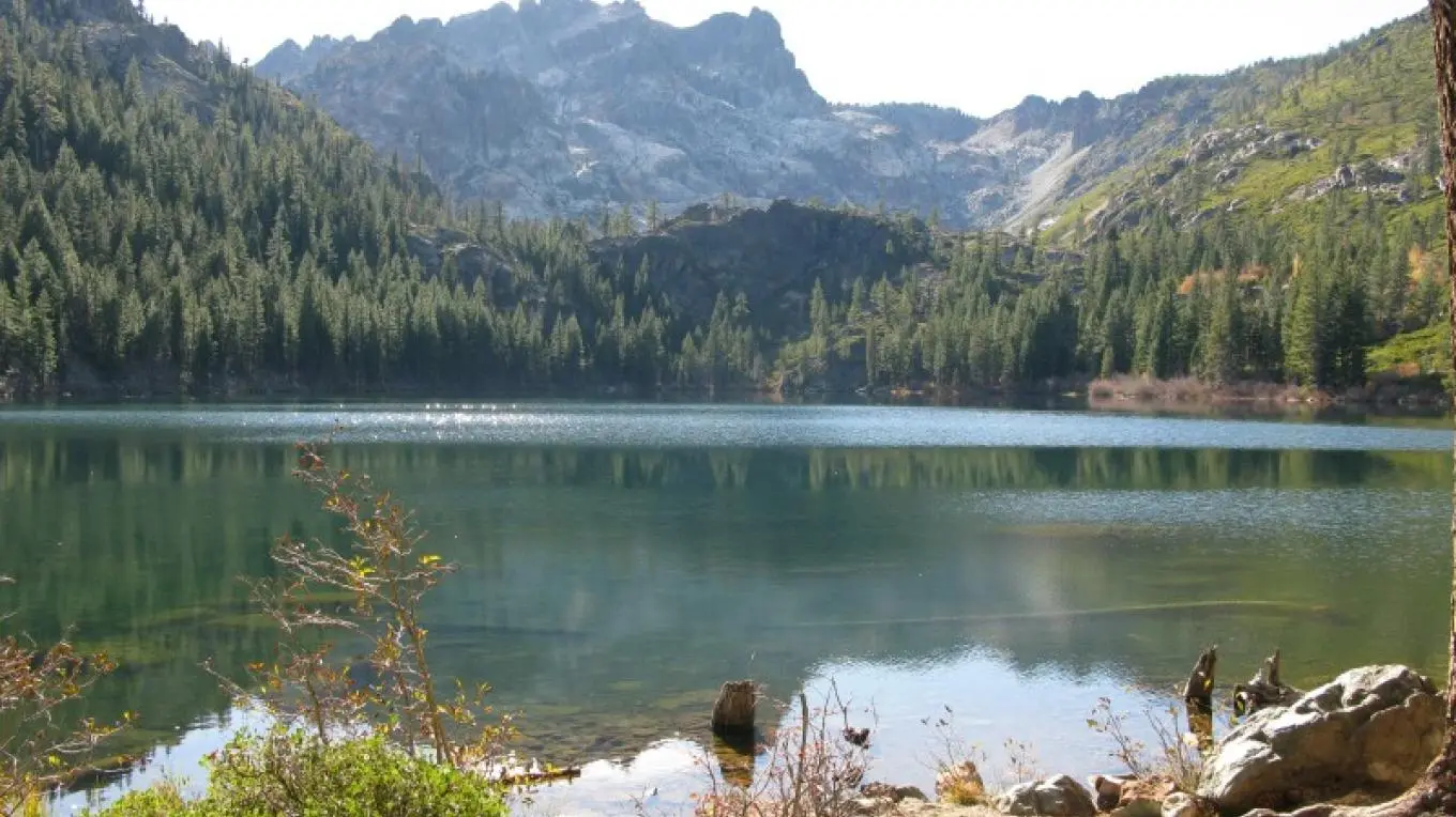
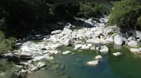
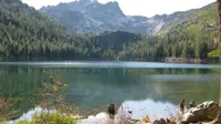
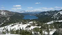
This Scenic Byway makes a 160-mile driving loop route through the Sierra foothills and mountains west and east of the Sierra Crest, highlighting small communities located north of I-80, including Nevada City, Downieville, Sierra City, Sierraville and Truckee.
Notable Events
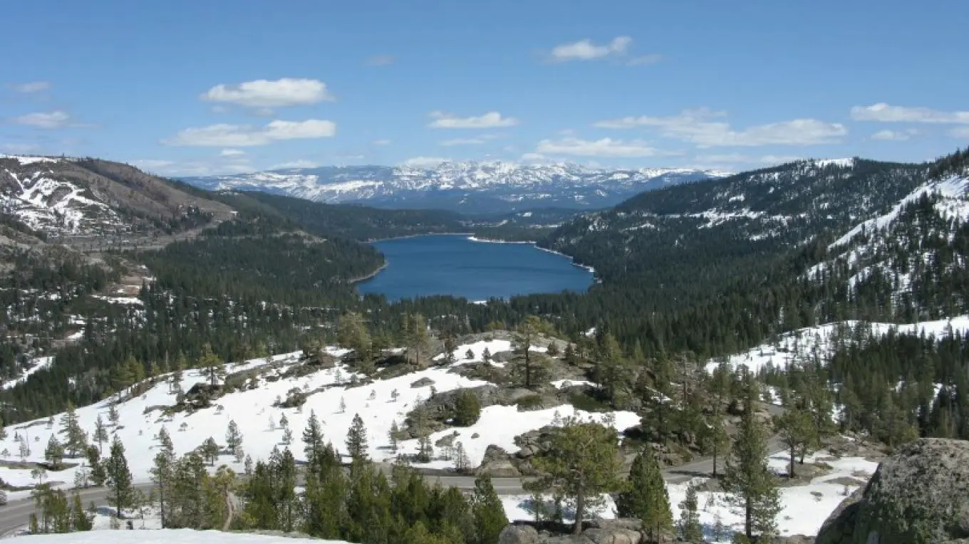
- 1846Half of the Donner Party camped where Donner Memorial State Park now stands, outside Truckee; a monument there honors the emigrants' isolation at Donner Lake in the winter of 1846. donnersummithistoricalsociety.org
- 1867China Wall on the byway's Donner Summit section was built without mortar by Chinese workers; Chinese workers also blasted the Sierra railroad tunnels nearby. donnersummithistoricalsociety.org
- 1992The National Scenic Byway Foundation lists the byway's designation as Forest Service Byway in 1992. nsbfoundation.com
Sources
- fhwaapps.fhwa.dot.gov/bywaysp/byway/55728
- recreation.gov/gateways/13903
- sierranevadageotourism.org/entries/yuba-donner-scenic-byway/80d25bdb-a37c-41b3-be5a-42bc885e4bbb
- nsbfoundation.com/sb/yuba-donner-scenic-byway
- scenicbyways.info/byway/55728.html
- fs.usda.gov/r05/tahoe/recreation/opportunities/scenic-drives
- web.archive.org/web/20111023092447/http://byways.org/explore/byways/55728
- donnersummithistoricalsociety.org/PDFs/ScenicByway2015brochurepg2.pdf