


Angeles Crest Scenic Byway (SR 2)
La Cañada-Flintridge, Los Angeles Co County, California. Scenic byway.
Details

- Where
- Angeles Crest Highway, La Canada Flintridge, La Cañada-Flintridge, CA. Directions
- Season
- Tire chains or cables may be required from mid-fall through early spring.
- Getting there
- SR2 runs 66 miles from La Cañada-Flintridge to the Mountain Top junction at SR138.
- Access
- Is closed from 3.3 mi east of Newcomb's Ranch to Islip Saddle (Los Angeles Co) - Due to emergency repairs - Motorists are advised to use an alternate route.
- Phone
- 1-800-427-7623
- Managed by
- CalTrans D7 & D8.
- Established
- concept 1912; construction 1929-1956.
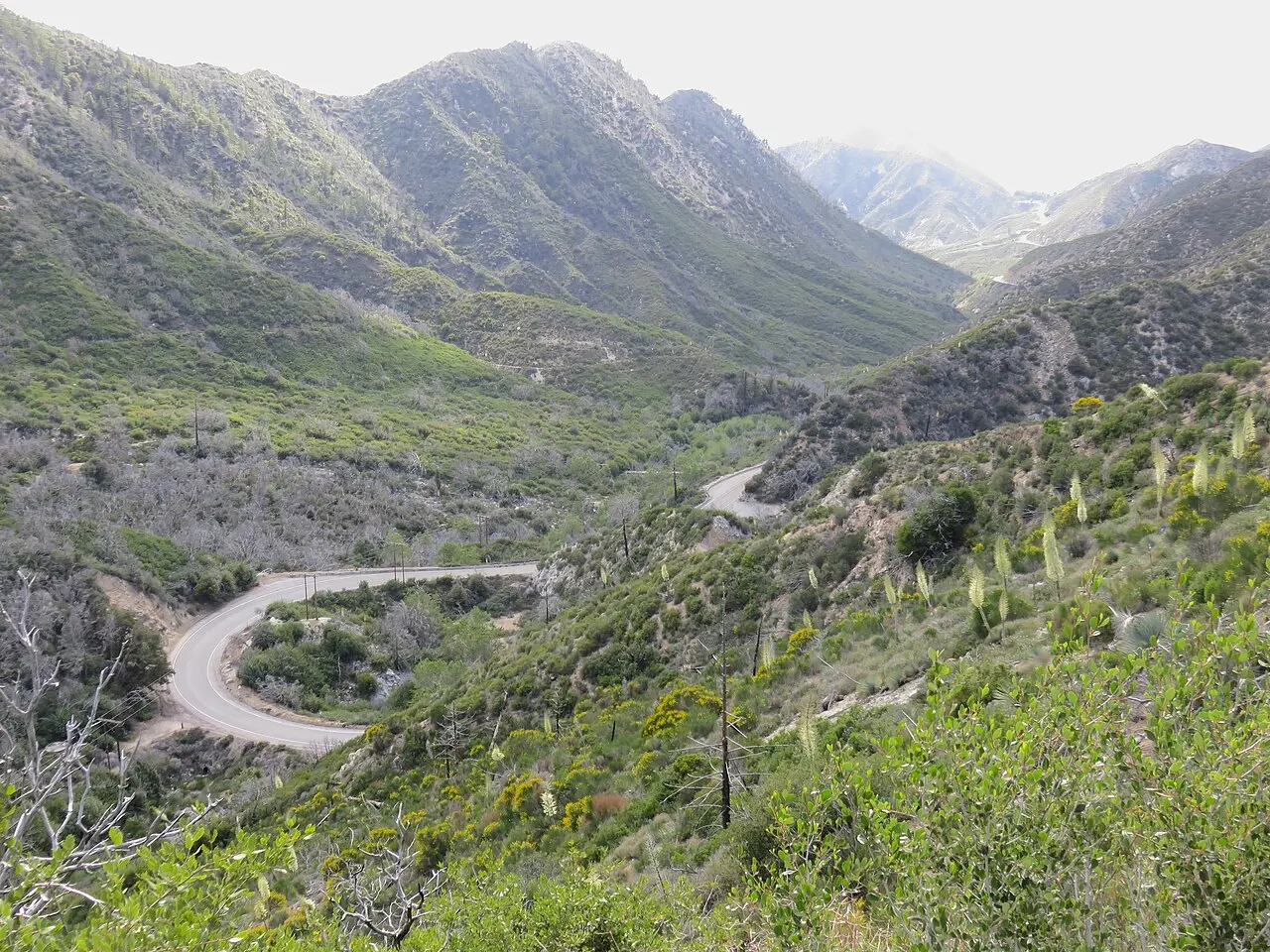
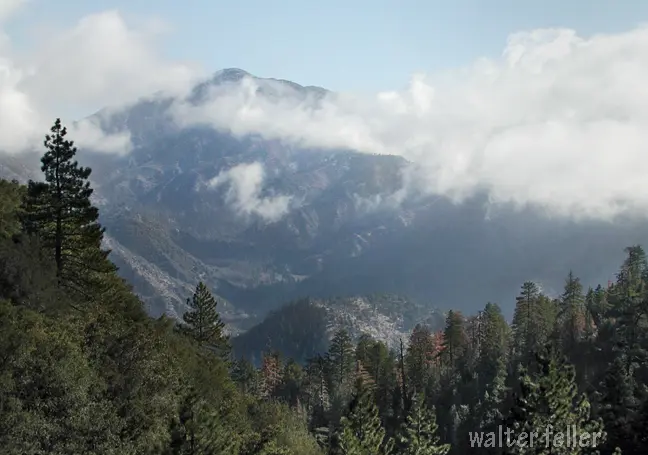
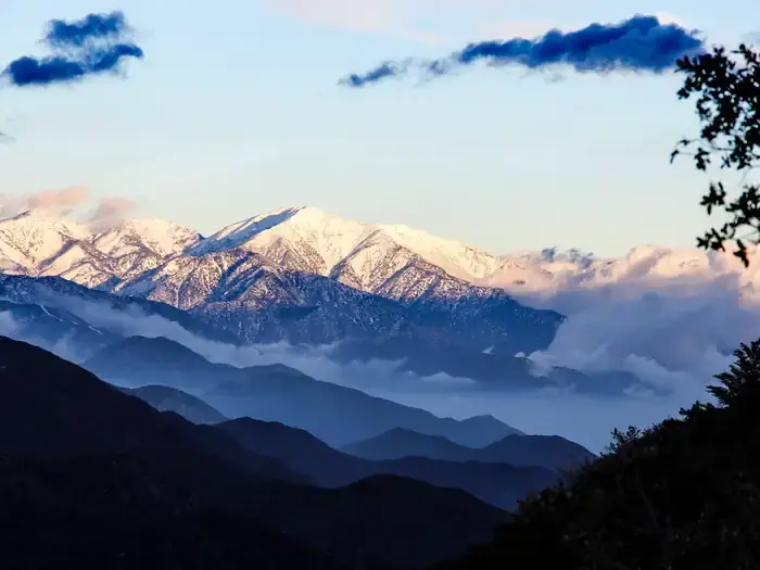
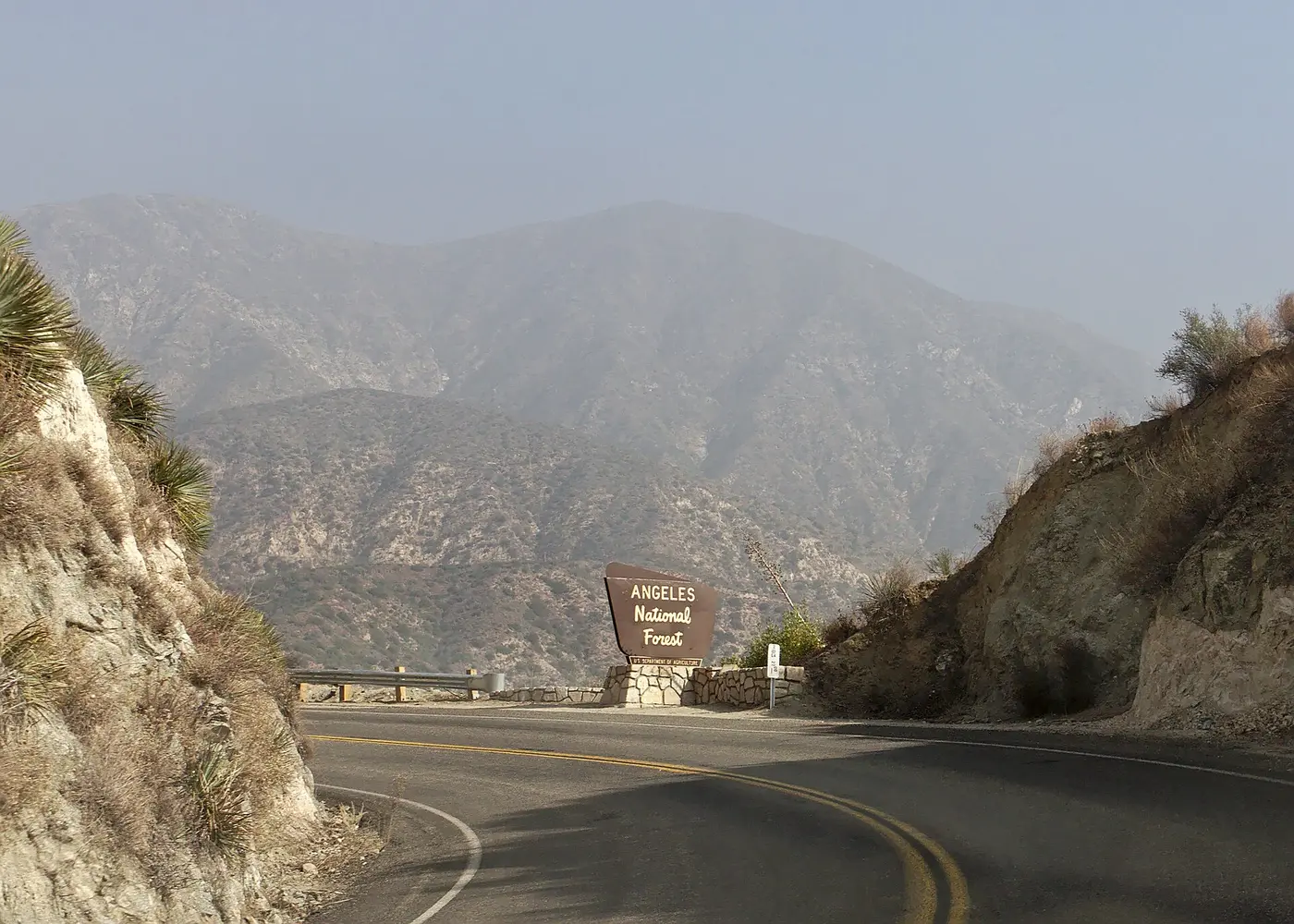
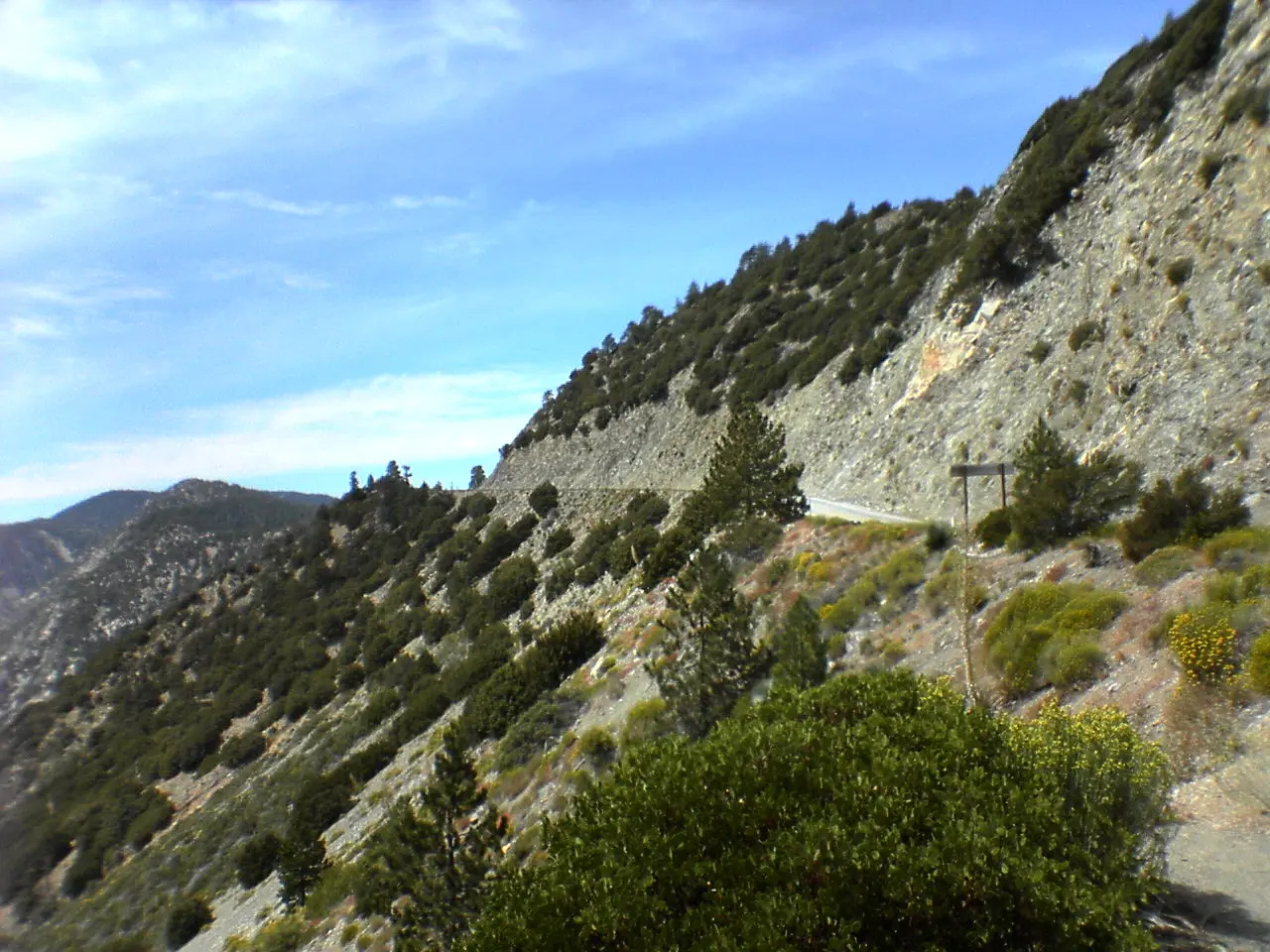
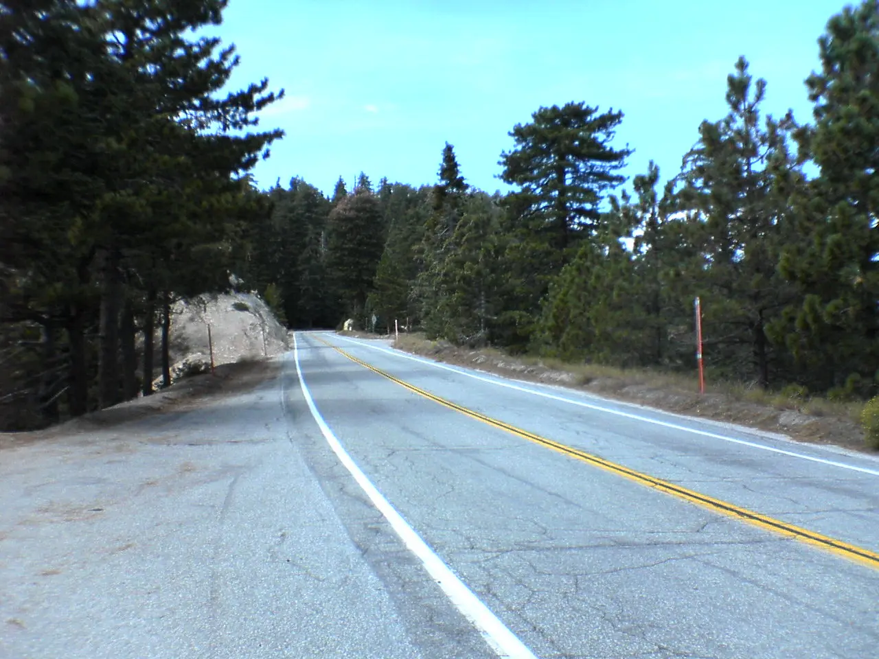
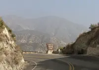
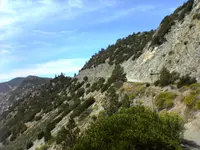
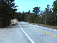
The scenic byway ascends up and winds its way through 66 miles of the Angeles National Forest, through chaparral, and montane forest habitats, along the highest and most scenic ridges of the San Gabriel mountain range.
Notable Events
- 1919Two big forest fires in 1919 consumed 151,680 acres, and another in 1924 burned 50,000 acres and lasted a month before it was controlled. latimes.com
- 1919Henry W. Keller of the Automobile Club of Southern California authorized $2,200 to J. B. Lippincott's engineering firm for a reconnaissance survey for the Angeles Crest Highway. wrightwoodcalif.com
- 1919The westerly section from Foothill Boulevard in La Canada to the Mt. Wilson Road at Red Box Divide was brought into the State Highway System by the Bond Amendment of 1919. wrightwoodcalif.com
- 1928The State Division of Highways started the location surveys in 1928 and initiated construction in 1929. wrightwoodcalif.com
- 1931The middle section from the Mt. Wilson Road at Red Box to Pine Flats became part of the State Highway System by Statutes of 1931. wrightwoodcalif.com
- 1932Almost immediately after the first segment opened, automotive visitors flooded trail resorts; in the 18 months between July 1932 and Dec. 1933, nearly 2.5 million people visited the Angeles National Forest. pbssocal.org
- 1933The approximately 27-mile section from the head of the Arroyo Seco to Cedar Springs was built between 1933 and 1940. livingnewdeal.org
- 1941Work on the 2.5-mile section from Cedar Springs to West Islip Saddle began under the New Deal, but paused in 1941 and did not recommence until 1946. livingnewdeal.org
- 1956The Angeles Crest Highway across the San Gabriel Mountains was completed and, after dedication ceremonies on November 8, 1956, opened to public use. wrightwoodcalif.com
- 1978The highway was meant to connect with the San Gabriel Canyon Road to create a scenic loop; the loop was completed but was severed by a landslide in 1978. pbssocal.org
- 1990In 1990, the road was designated a state scenic highway. latimes.com
- 2004The winter storms of 2004/05 caused several landslides and significant damage to the highway; the highway never reopened in the summer of 2005; damage was estimated to be over $4 million as of November 2005. wiki.aaroads.com
- 2006A March 2006 storm caused even more extensive damage to the highway, including a complete washout of a large section of roadway, further delaying the reopening of the highway. wiki.aaroads.com
- 2009The highway, closed for several years due to landslides, was repaired and reopened on May 20th, 2009, continuing through to Wrightwood and state route 138. angelescrestscenichighway.com
People
- Joseph Barlow Lippincott, Auto Club engineer who said it took firefighters days to reach fires in the forest.
- J. B. Lippincott, Engineer who surveyed the highway for the Automobile Club of Southern California and routed it high above the canyons (1919).
- H. A. Hinshaw, Correctional officer in charge of the prison camp.
- Henry W. Keller, Chairman of the Roads and Highways Committee of the Automobile Club of Southern California; authorized the first reconnaissance survey (1919).
Sources
- angelescrestscenichighway.com
- angelescrestscenichighway.com/road-guide.html
- angelescrestscenichighway.com/map.html
- recreation.gov/gateways/13562
- fs.usda.gov/r05/angeles/conditions
- dot.ca.gov/caltrans-near-me/district-7/district-7-projects/d7-sr2-ach-winter-storm-repairs
- roads.dot.ca.gov/?roadnumber=2
- facebook.com/AngelesCrestHighway
- wiki.aaroads.com/wiki/Angeles_Crest_Highway
- en.wikipedia.org/wiki/Angeles_Crest_Highway
- pasadenastarnews.com/2009/05/20/angeles-crest-highway-through-wrightwood-reopens