

Alpine Loop Back Country Byway
Lake City, Hinsdale County, Colorado. Colorado Scenic Byway, 63 miles, driving time 4 to 6 hours; Open seasonally.
Details

- Where
- Lake City, Hinsdale County, CO. No street address stated. Directions
- When
- OHVs may operate 6:00 a.m. to 11:00 p.m. in the Town of Lake City year-round; elsewhere in Hinsdale County the same hours, June 1 through September 30 only.
- Getting there
- From Lake City enter on County Road 30 or County Road 20; from Silverton on County Road 2; from Ouray on County Road 18.
- Access
- Status OPEN, with an active wildfire advisory; conditions can change quickly, check fire updates before and during the trip.
- Phone
- 970-944-2527
- Website
- alpineloop.info
- Managed by
- BLM-Gunnison Resource Area, 216 N. Colorado, Gunnison CO 81230.
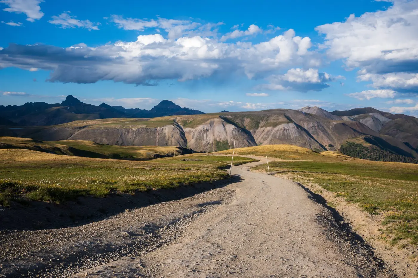
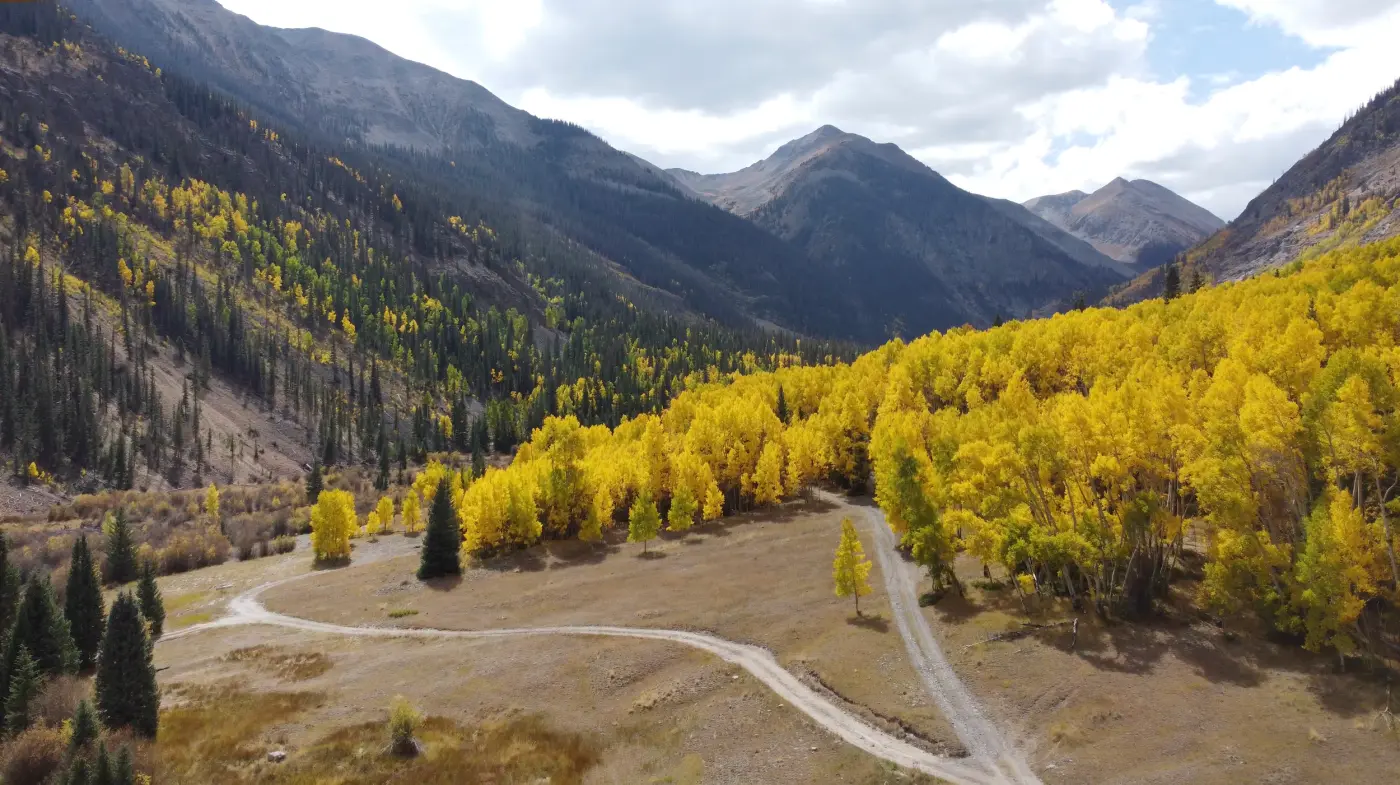
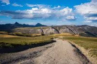
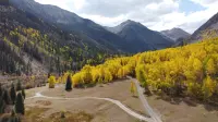
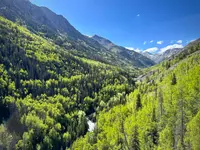
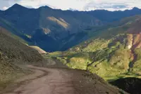
South of Lake City, County Road 30 follows the Lake Fork of the Gunnison River past Lake San Cristobal, the lake the town is named for. Lake City’s own guide calls it the second-largest natural lake in Colorado. Past the lake the asphalt ends. From there the Alpine Loop Back Country Byway is dirt and rock, a network of old mining roads that crosses the San Juan Mountains to Silverton and Ouray. It runs from 7,792 feet at Ouray to 12,800 feet at Engineer Pass. The Bureau of Land Management, which manages the byway from its Gunnison Field Office, and the Colorado Department of Transportation both give the length as 63 miles. The Lake City guide says 60-plus. The two passes, Cinnamon and Engineer, require a high-clearance four-wheel-drive vehicle.
The road is a summer road. Most of the high passes do not open until late June, depending on snow, and they typically close after the first significant fall snowstorms. Cell phones and wireless devices do not work over most of the route, and the BLM tells travelers to carry printed maps, water, food, and fuel. On July 21, 2026, the status page kept at AlpineLoop.info listed the Loop as open under an active wildfire advisory and pointed travelers to updates on the Gold Mountain and Elk fires.
Jeeps, side-by-sides, and passenger cars
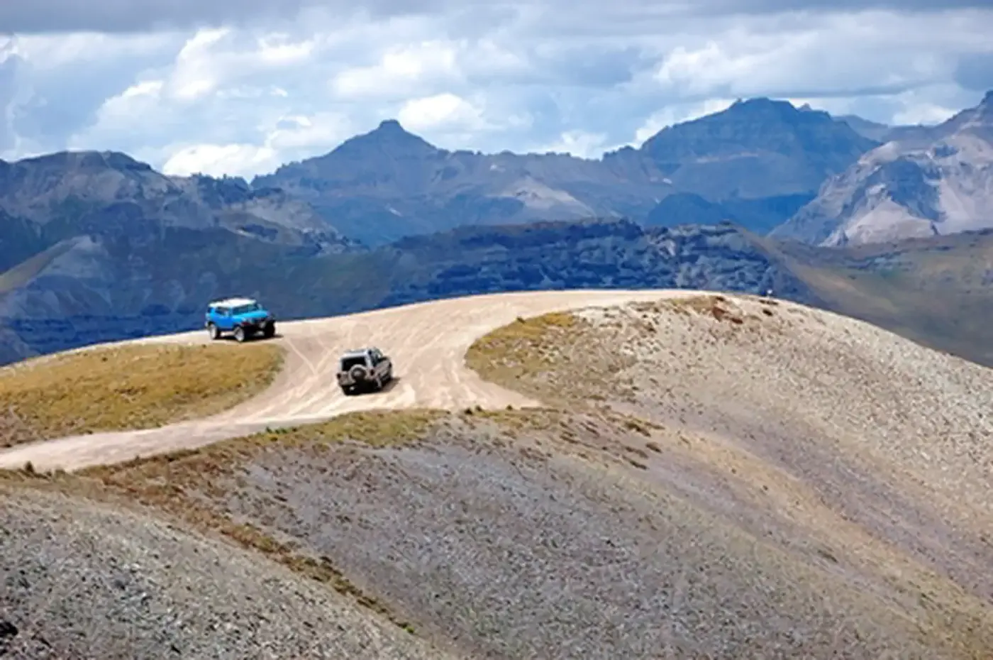
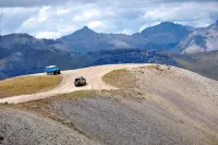
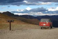
Stock SUVs with low-range gearing can make the full loop, the Lake City guide says, and Jeeps, side-by-sides, and built rigs handle it comfortably. Several Lake City outfitters rent off-highway vehicles by the day. From June 1 through September 30, those machines may run out of town on a 3.26-mile stretch of Highway 149, between County Road 30 and Ocean Wave Drive, and onto the Loop. The state byway program puts the driving time at 4 to 6 hours. The Lake City guide says most travelers take 6 to 8 hours with stops.
A passenger car can still reach part of it. From Lake City the guide sends ordinary cars up the Engineer Pass side as far as Capitol City and up the Cinnamon Pass side as far as American Basin. From Silverton a car can reach the ghost town of Animas Forks. These are rough, unpaved drives, and the guide advises taking them slow.
Drivers do not agree on which way to go around. The Lake City guide recommends clockwise from Lake City, over Cinnamon first, so that the hard switchbacks on the west side of Engineer Pass are climbed rather than descended. The Wikipedia entry gives a second reason for the same direction: clockwise puts the vehicle on the inside of the mountain shelves and the driver on the outside, where the edge of the drop-off is easier to judge. It also notes that less powerful four-wheel-drive vehicles may do better counterclockwise, since they can struggle up the steep western grades of Engineer. On the narrow stretches, uphill traffic has the right of way. Drivers coming down pull over, and passing parties hold up fingers to show how many vehicles are behind them.
Cinnamon Pass and Animas Forks
About eight miles past the lake, an overlook shows the first ghost town, Sherman. Beyond it comes the first shelf road, cut directly into the cliff face, where the guide tells travelers to watch the rock walls for mining ruins and bighorn sheep. The road opens into Burroughs Park. There the Silver Creek and Grizzly Gulch trailheads lead hikers toward Handies, Redcloud, and Sunshine, three peaks over 14,000 feet, and the next miles pass avalanche debris.
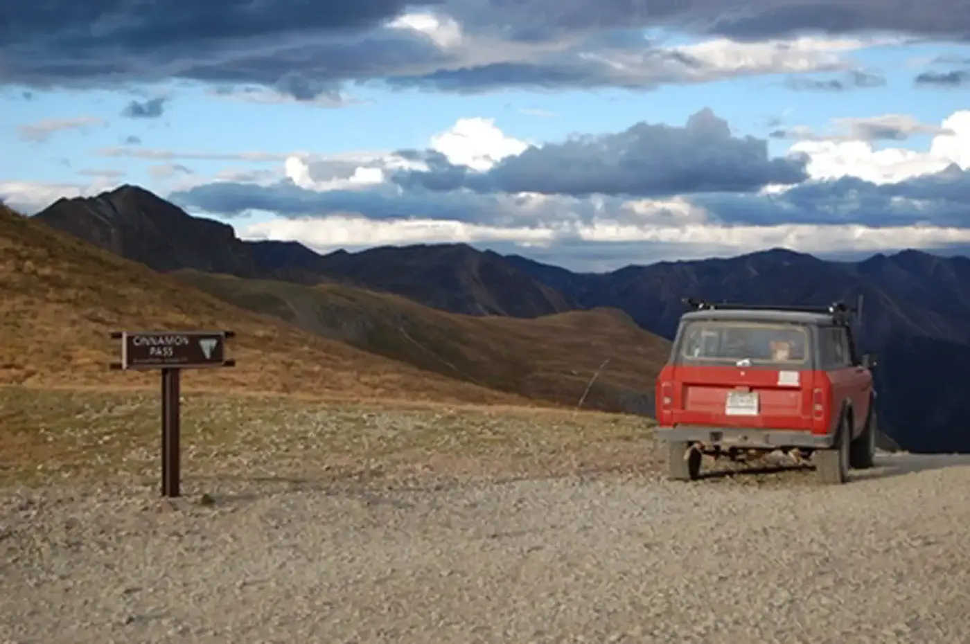
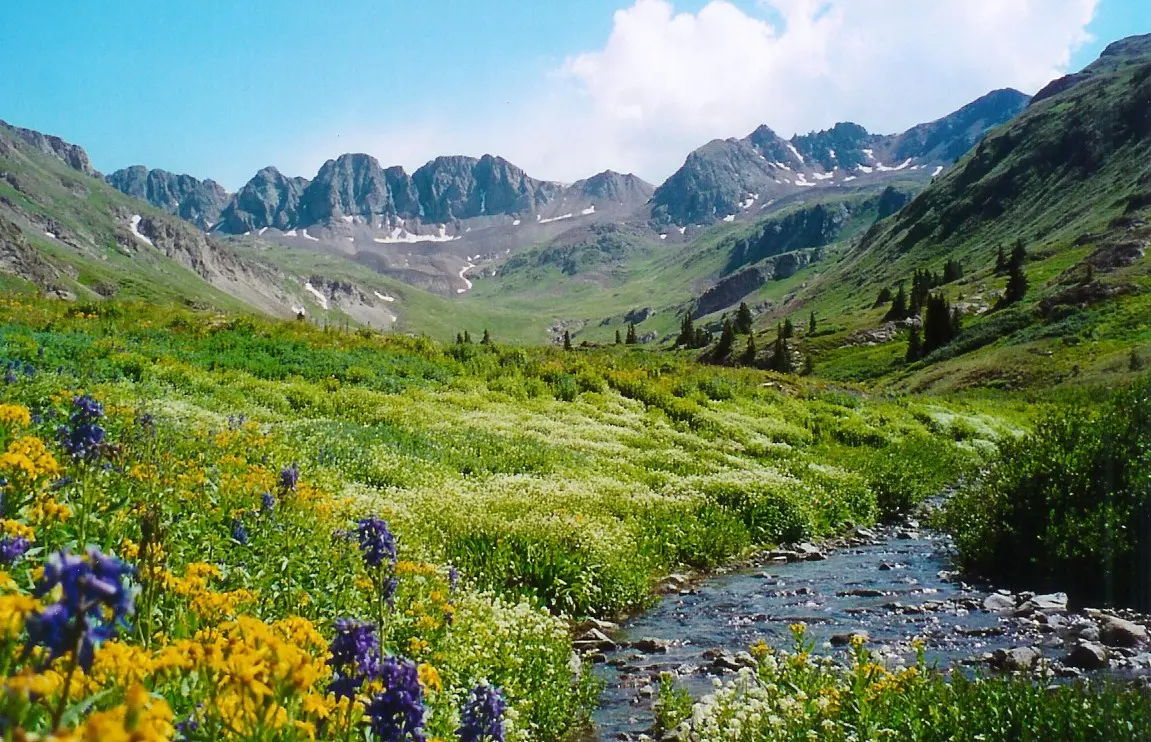
American Basin lies about a mile east of the Cinnamon Pass summit. In July its meadows fill with columbines, Indian paintbrush, larkspur, and dozens of other species, and the Lake City guide counts it among the most photographed places in Colorado. The Handies Peak trail leaves from the basin, and Sloan Lake sits two steep miles up it. Climbing on toward the pass, the road breaks above the trees at the ruins of the Tobasco mine. In the valley to the left stand the old tramway posts that carried ore from the mine to the mill. Cinnamon tops out at 12,600 feet and is often dusted with snow even in July.
The descent drops in low gear to Animas Forks, at about 11,000 feet. Its first log cabin went up in 1873, and the Animas Forks, Colorado Territory, post office opened on February 8, 1875. The camp boomed in the late 1880s, with about 450 residents, and was abandoned after the silver crash of the 1890s. In the 1880s, a 23-day blizzard dropped 25 feet of snow there, and residents dug tunnels between their houses. Animas Forks is also where the road divides: twelve bumpy miles down to Silverton, or up toward Engineer.
Engineer Pass and the road down Henson Creek
The western approach to Engineer, between Animas Forks and the summit, is the most technical stretch of the Loop. Its switchbacks are narrow, rocky, and exposed. At the top, Oh! Point and Odom Point look out over the San Juans. The summit sits a quarter mile past Odom Point, on American Flats, a wide expanse of alpine tundra under Uncompahgre Peak and Wetterhorn Peak. Much of the Loop above 11,000 feet runs along Engineer’s flanks above tree line. The guide warns that tracks left on that tundra can last hundreds of years.
The descent runs about 20 miles of rocky road back to Lake City. It passes the ruins of the Empire Chief mine and the sign for Whitmore Falls. A short walk reaches the falls overlook, and a steeper one-tenth-mile trail drops to a swimming hole at the base. Capitol City comes next. George Lee founded it in 1877 and, the guide says, dreamed of making it the capital of Colorado. Hinsdale County’s Wikipedia entry gives its one-time population as 400. The post office, some outbuildings, and brick kilns remain. Below Nellie Creek, the access road for Uncompahgre Peak, lies Henson, site of the Ute Ulay mine. The guide calls it the silver strike that fueled Lake City’s first boom. Its ruins can be seen on a self-guided walking tour, and the Hard Tack Mine there runs guided tours through an underground tunnel. Lake City is four miles on.
Toll roads and mule wagons
The Ute people hunted and fished the high valleys of the San Juans in summer. The land was theirs by treaty, but prospectors had entered the region by the 1860s. After silver was found near Lake City, a new treaty in 1873 took the Utes’ rights to the mountains. Prospectors and pack mules crossed this ground in the 1870s and 1880s, and miners hauled their ore to Silverton, Ouray, and Lake City in mule-drawn wagons over the same rocky roads the Loop now follows.
Hinsdale County was founded February 10, 1874, and named for George A. Hinsdale, a pioneer and former lieutenant governor of Colorado Territory. Lake City was platted that fall, during construction of the Saguache & San Juan Wagon Toll Road. The developers laid out 72 blocks across the valley floor. Otto Mears subsidized a newspaper to promote the new town, and on June 19, 1875, he published the first issue of The Silver World, the first newspaper on the Western Slope. Mears was born in Russia in 1840 and orphaned early, and he was at most 13 when he was earning his keep in San Francisco. He opened a store in Saguache about 1866 and began building toll roads in 1870. According to the San Juan County Historical Society, the toll roads he founded grew to more than 200 miles, from Saguache to Lake City, Gunnison, Ouray, and Telluride, and to Silverton. Those around Silverton and Ouray were nicknamed “The Rainbow Route,” a name later given to the Silverton Railroad, which he organized in 1887. He died in Pasadena in 1931, at 91.
Engineer Pass came from other investors. In 1876, Jacob J. Abbott, Jr., James W. Abbott, and Richard Woodward built the Henson Creek and Uncompaghre Toll Road to serve the Galena Mining District. It was later extended west over Engineer to Ouray, with a branch south to Silverton.
Lake City’s first boom had faded by 1879, the year fire took much of the wooden town. A second upturn came with the Denver & Rio Grande in 1889, and by 1905 the mining era was over. Visitors began coming for whole summers in 1915. The Lake Shore Inn opened on Lake San Cristobal in 1917, and automobiles began arriving around 1920.
A byway since 1989
The Alpine Loop was designated a Colorado State Scenic and Historic Byway and a BLM Back Country Byway in September 1989. The BLM classes it as Type III, its most rugged category. In 2000 the BLM and the Hinsdale County Historical Society stabilized the mill ruins at the Bonanza-Empire Chief mine. Hinsdale County’s Wikipedia entry says an avalanche demolished them in 2007–2008, and the Lake City guide gives the year as 2008. At Animas Forks, repairs called for in a 2009 Historic Structures Assessment were made under two State Historical Fund grants beginning in 2013. The work was finished in 2014, in time for the byway’s 25th anniversary. In 2019, avalanches dumped over 100 feet of snow on the road near Animas Forks and kept it closed until July.
Notable Events
- 1873The town's first log cabin was built in 1873, and the Animas Forks, Colorado Territory, post office opened on February 8, 1875. en.wikipedia.org
- 1876Local mining investors built the Henson Creek and Uncompaghre Toll Road to serve the Galena Mining District; the Uncompaghre Road was eventually extended west over Engineer Pass to access Ouray, with a branch forking south to access Silverton. townoflakecityco.gov
- 1887Mears organized the Silverton Railroad Company in 1887, with a route of about 25 miles when completed. sanjuancountyhistoricalsociety.org
- 1989The Alpine Loop was designated as a Colorado State Scenic and Historic Byway and BLM Back Country Byway. fs.usda.gov
- 2014Work identified in the 2009 Historic Structures Assessment was completed under two subsequent grants from the State Historical Fund, beginning in 2013. Work was completed in 2014, just in time for the recognition of the 25th Anniversary of the establishment of the Alpine Loop Scenic Byway. en.wikipedia.org
People
- Otto Mears, Pathfinder of the San Juans; built hundreds of miles of toll roads and several railroads through the San Juan Mountains (1840-1931).
- Jacob J. Abbott, Jr., local mining investor who built the Henson Creek and Uncompaghre Toll Road over Engineer Pass (1876).
- James W. Abbott, local mining investor who built the Henson Creek and Uncompaghre Toll Road over Engineer Pass (1876).
- Richard Woodward, local mining investor who built the Henson Creek and Uncompaghre Toll Road over Engineer Pass (1876).
Sources
- blm.gov/visit/alpine-loop-back-country-byway
- lakecity.com/driving-the-alpine-loop-mile-by-mile-guide
- alpineloop.info
- codot.gov/travel/coloradobyways/southwest/alpine-loop
- townoflakecityco.gov/transportation-the-toll-roads
- fs.usda.gov/wildlifecrossings/library/documents/FederalSurfaceTransportationProgramsAndTransPlanningForFLMA_AGuidebook.pdf
- lakecity.com/driving-the-alpine-loop-mile-by-mile-guide