
Swift Trail Parkway
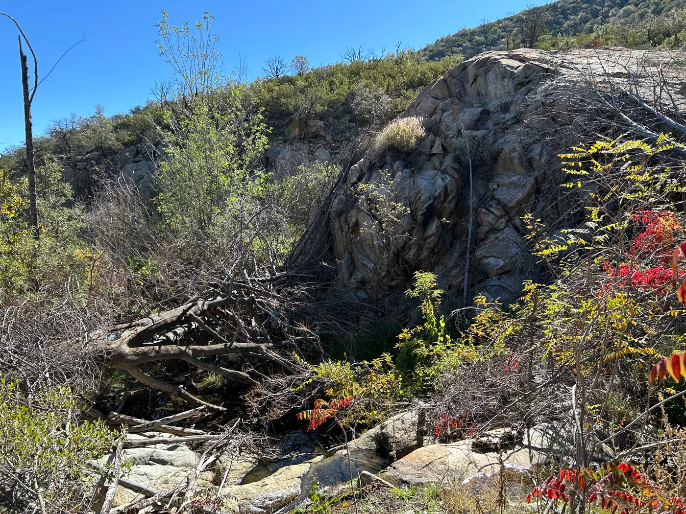
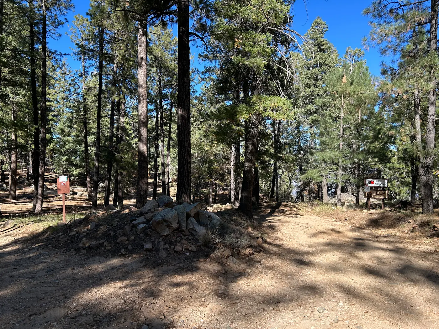
Safford, Graham County, Arizona. Scenic Drive.
Details

- Where
- Safford, Graham County, AZ. No street address stated. Directions
- Season
- Reopened for the season on Wednesday, April 15.
- Getting there
- State Route 366, 25 miles.
- Fees
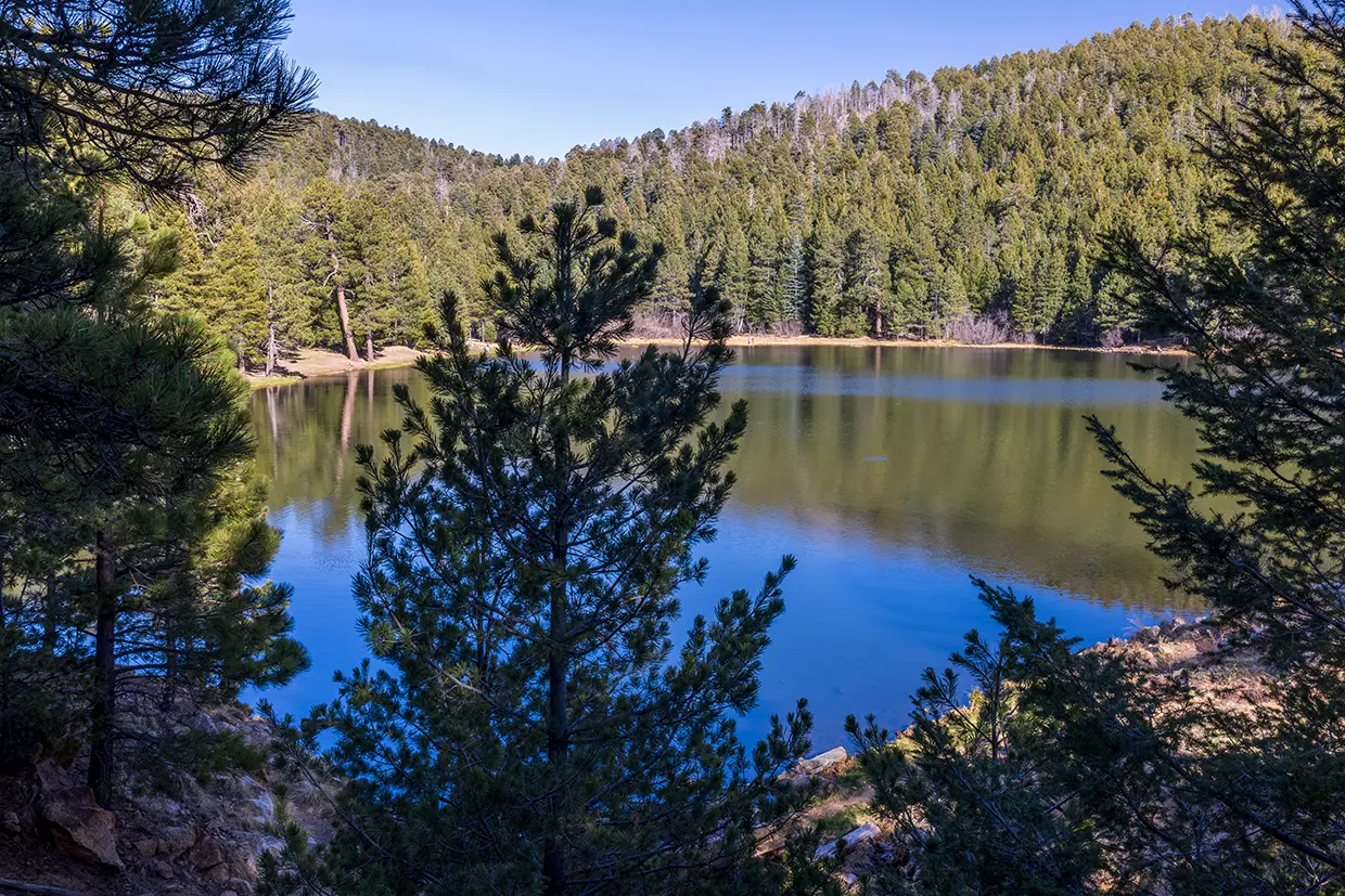
- A day-use pass, available at Coronado National Forest offices and online, is required at Riggs Lake; other fees apply at campgrounds along the road.
- Access
- The first 22 miles are paved; the last 13 miles are dirt and require a high-clearance vehicle.
- Phone
- (520) 388-8300
- Website
- fs.usda.gov
- Managed by
- Coronado National Forest.
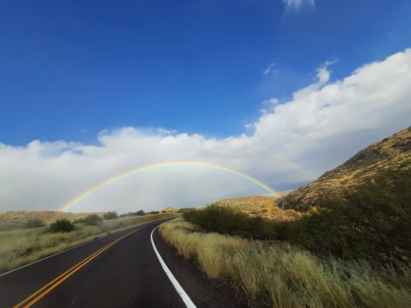
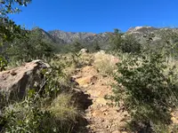
Climbs more than 7,000 feet over 35 miles with views of the surrounding landscape.
Notable Events
- 1993The State of Arizona designated the State Route 366 segment from milepost 116.0 to 142.0 as Swift Trail Parkway. azsos.libguides.com
- Workers from the Civilian Conservation Corps camp at Columbine extended the Swift Trail to Riggs Flat Lake. fs.usda.gov
- Members of the Civilian Conservation Corps constructed the historic route during the Great Depression. fs.usda.gov
People
- T. T. Swift, Namesake of the Swift Trail and first supervisor of the Coronado National Forest.
Sources
- azdot.gov/about/historic-and-scenic-roads/list-scenic-roads
- fs.usda.gov/r03/coronado/recreation/groups/swift-trail-parkway-state-highway-366-scenic-drive
- arizonahighways.com/swift-trail
- fs.usda.gov/r03/coronado/recreation/pinaleno-mountains
- azdot.gov/news/seasonal-closures-several-high-country-highways-starting-soon
- azdot.gov/news/seasonal-winter-highway-closures-lifted-mount-graham-white-mountains
- fs.usda.gov/r03/coronado/recreation/columbine-visitor-center
- fs.usda.gov/r03/coronado/recreation/upper-arcadia-group-site
- azsos.libguides.com/aznamesboard/pshrdesignations