Hidden Coast Scenic Byway
Hoquiam, Grays Harbor County, Washington. State Byway; Open year-round.
Details

- Where
- Hoquiam, Grays Harbor County, WA. No street address stated. Directions
- Getting there
- State Route 109 between Hoquiam and Taholah.
- Access
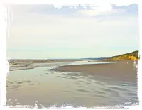
- This scenic byway is open year-round, making it a great four-season road trip. Winter brings the opportunity for storm watching, while summer is perfect for flying kites and playing in the sand and surf.
- Phone
- 360-289-2430
- Website
- stateofwatourism.com
- Managed by
- Statewide byway partners: Washington State Dept. of Transportation & State of WA Tourism.
Hoquiam to the four-way stop
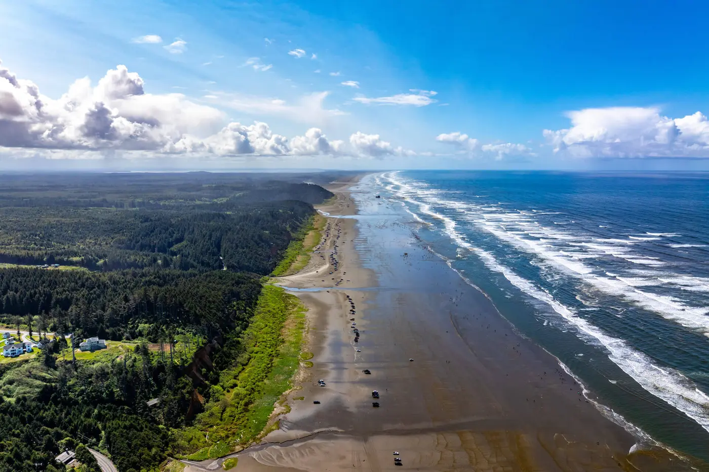
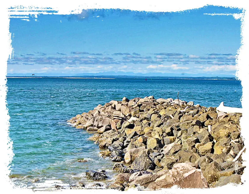
The Hidden Coast Scenic Byway is State Route 109 between Hoquiam and Taholah. It runs 41 miles of two-lane highway, and the state tourism office puts the drive at an hour and a half. Grays Harbor is in view from the moment the road leaves Hoquiam. The byway’s own guide lists shorebird viewing first along the way and seafood for sale after it. The National Scenic Byway Foundation explains the name: the coast’s bays and inlets mean a traveler “can’t just hop on the 101 and see the whole thing.” The road is open year-round. Winter is the season for storm watching and summer the season for kites.
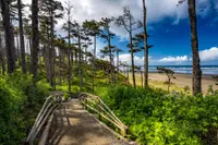
Hoquiam is the southern gateway. It has historic architecture, a timber heritage, the Polson Museum in a restored mansion, and the Grays Harbor National Wildlife Refuge nearby. Past town, at Hogan’s Corner, a left turn leads to Ocean Shores, slightly off the byway. Ocean Shores has oceanfront lodging, restaurants, kayaking, fishing, and the High Dunes Trail. The highway itself continues to Ocean City, where Ocean City State Park offers birding, beach walks, and razor clams in season.
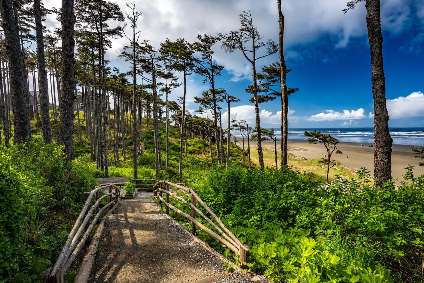
Copalis Beach is known as the “Home of the Razor Clam.” It sits near the northern end of what is believed to be the greatest razor clam bed in the Pacific Northwest. The Copalis Ghost Forest lies here, and the sources describe it in different terms. The state tourism office writes of centuries-old stumps emerging from the sand. Another account in the dossier describes standing dead evergreens along the Copalis River, inland from the town. To the north, Iron Springs Resort rents cabins built along the bluff. At Iron Springs the ocean can be seen breaking on the beach from a car window. Roosevelt Beach follows, with free public access where a car may be driven directly onto the sand.
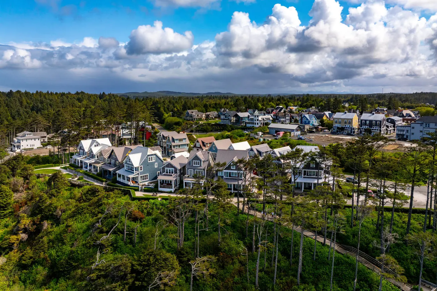
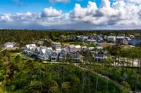
Seabrook is a planned village of vacation rentals, boutique shops, and restaurants. The byway’s guide calls it an “idea town,” where every new home or business is fitted to the whole development. Sources differ on its look. The state tourism office says it was inspired by Seaside, Florida. Scenic Washington describes its architecture as reminiscent of the northeast. The stretch between Seabrook and Hoquiam was rebuilt in 2024. That summer, the Washington State Department of Transportation closed the highway five times over four months. Crews dug up the entire road and set large concrete structures beneath it so fish could swim under, then repaved. The work was part of the department’s compliance with a 2013 federal court order to correct outdated culverts and open habitat for salmon and steelhead.
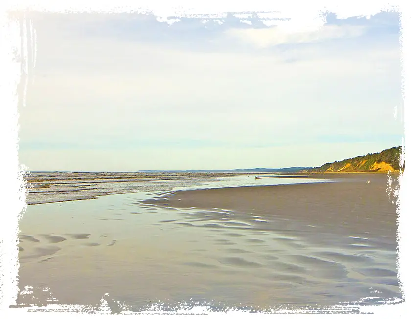
North of Seabrook comes what the byway’s guide calls the route’s major intersection. It is a single four-way stop, where a turn west leads onto the western-most Main Street in the contiguous United States. Pacific Beach is four blocks long, and the ocean is steps off First Street. Pacific Beach State Park, nearby, is a year-round campground with tent sites, RV hookups, and yurts on a flat, sandy beach used for kite flying, clamming, and fishing.
Moclips and the end of the road at Taholah
Moclips sits partly on bluffs with ocean views and partly on the “Moclips flats,” where lodgings open directly onto the beach. Ocean Crest Resort is run by its fourth generation and has a restaurant. Its Cedar Serenity Spa, with a heated pool, sauna, and hot tub, is open to the public. Moclips Country Store & Deli sells burgers and take-and-bake pizza. On the line between Pacific Beach and Moclips, Chapel by the Sea holds Sunday worship and hosts North Beach Singers concerts, the Washington State Chili Cook-off, and a Spring Fair. The Museum of the North Beach covers the history of the whole North Beach. The byway’s guide advises visitors to ask there about McQ, a John Wayne film shot in and around Moclips. Through the year the town holds kite contests and sand sculpture competitions. Scenic Washington also lists the Kelper’s Parade and Celebration.
The road ends at Taholah, near the mouth of the Quinault River and headquarters of the Quinault Indian Nation. The Quinault Cultural Center and Museum is owned and funded by the Nation. It holds Quinault artifacts, arts, and crafts in a converted retail building.
Bloody waters and a forest drowned
Moclips was a Quinault village beside the Moclips River before it was a town. The byway’s own Moclips page tells its story. Young women reaching puberty were moved there for purification and secluded to prevent what the Quinault believed would harm the salmon run or the whale run. The name, the page says, refers to “bloody waters.” When white tourists came by the thousands, the meaning was changed to “placid waters” to less offend their sensibilities.
The Ghost Forest dates to 1700. That year a great earthquake on the Pacific Ocean floor sent a tsunami against the Washington coast. The water flooded upstream along the Copalis River and the land dropped, killing the evergreens that still stand there.
Later names on the map belong to newcomers. Grays Harbor carries the name of Robert Gray, a New England ship captain who lived from 1755 to 1806. Damon Point, the headland at the byway’s southern end, was named for A.O. Damon. Matthew McGee was the first non-native homesteader of the Point Brown peninsula, today’s Ocean Shores.
Sand roads, rails, and a hotel on the dunes
Homesteading at Moclips began in 1862. The first coast road was hard sand or planks laid on the beach, and it was passable only at low tide. Before the train, the only way into Moclips was by wagon on the beach.
The railroad changed that, though the sources date its arrival differently. One account says the Northern Pacific Railway built lines all the way to the coast in 1902. In that year Pacific Beach, which had begun as a sawmill and cannery, turned into a tourist destination. Another puts the completion of the line to Moclips in 1905, the year Moclips became a town. Moclips was then the westernmost rail terminus in the United States. Hotels, canneries, restaurants, and mercantiles followed, and shingle mills dotted the land. The train carried out shingles and canned razor clams and salmon, and it brought tourists in.
Dr. Edward Lycan, one of the first landowners in the area, built the grandest hotel at Moclips. The Moclips Beach Hotel opened in 1905 with 150 rooms, and the two surviving accounts of its life disagree in the details. One says the two-story building opened in July and burned within two months. By 1907, that account goes on, Lycan had rebuilt it three stories tall and a full block long, on the dunes a few dozen feet from the high-tide line. The byway’s Moclips page puts the original 36 feet from the ocean and has fire taking it four months after opening. It says the rebuilt hotel changed from an L-shape to an E-shape and grew to 325 rooms.
The ocean took it in the end. In 1911, heavy rains, huge swells, strong winds, and a shift in the shoreline brought down the school, numerous other buildings, and the hotel. The Seattle Times put the damage from that series of storms at $40,000. The byway’s page counts three storms. Lycan died in 1912.
From county road to scenic highway
Cars came by way of Hoquiam. In 1910, the 8th Street Bridge carried motor traffic over the Hoquiam River, and eventually all the way to the beach. The earlier routes north ran inland and were developed as state highways. The present SR 109 began as a county road that replaced the beach route. In 1934, the tail end of a hurricane reached the Pacific Northwest, and 90 mph winds struck the coast at the Grays Harbor end. According to the byway’s Moclips page, the route was first established in 1937 as Secondary State Highway 9C and renumbered SR 109 in 1983. The train tracks from Moclips to Hoquiam were removed in the 1980s.
In 1967, the Legislature created a scenic and recreational highway system and wrote secondary state highway 9C into it. The act set the route as beginning at a county road junction 3.01 miles northwest of the highway junction in Hoquiam, “thence in a northwesterly direction by way of Ocean City, Copalis, Pacific Beach, and Moclips.” That designation covered the road west of the SR 109 Spur. The section east of the Spur, through Hoquiam to US 101, was added in 1993.
Notable Events
- 1700A great tsunami from a major Pacific Ocean floor earthquake battered the Washington coast and dropped elevations along the Copalis River, creating the Ghost Forest. ghcog.org
- 1862Homesteading at Moclips began in 1862; the town was officially a town by 1905, when it was Northern Pacific Railway's western-most terminus. hiddencoastscenicbyway.com
- 1905The Northern Pacific completed a rail line to Moclips, developing the westernmost rail terminus in the United States. ghcog.org
- 1905Lycan's grand hotel, two stories tall with 150 rooms, had a very short life and burnt down within two months of its July opening. graysharbortalk.com
- 1905After homesteading beginning in 1862, Moclips officially became a town in 1905. hiddencoastscenicbyway.com
- 1907By 1907 Lycan had rebuilt the hotel, three stories tall and stretching an entire block, set on the dunes a few dozen feet from the high-tide line. graysharbortalk.com
- 1910The 8th Street Bridge in Hoquiam ushered in car travel over the Hoquiam River and eventually all the way to the beach, the beginning of the auto era for the byway region. ghcog.org
- 1911Heavy rains, huge swells, strong winds and a shift in the shoreline toppled the school, numerous buildings and the Moclips Beach Hotel, and the Seattle Times reported the damage from the series of storms at $40,000. graysharbortalk.com
- 1934The tail end of a hurricane struck the Pacific Northwest, and 90 mph winds hit the coast at the byway's Grays Harbor end. graysharbortalk.com
- 1937Roadways for automobiles began to develop with State Route 109 first established as Secondary State Highway 9C in 1937. hiddencoastscenicbyway.com
- 1967The portion of SR 109 west of the SR 109 Spur was designated as a Washington State Scenic and Recreational highway. ghcog.org
- 1980sTrain tracks from Moclips to Hoquiam were removed in the 1980s. hiddencoastscenicbyway.com
- 1983Secondary State Highway 9C was renumbered to SR 109 in 1983, as the byway's own Moclips page states it. hiddencoastscenicbyway.com
- 1993The portion of the route east of the Spur connecting through Hoquiam to US 101 was designated. ghcog.org
People
- Matthew McGee, first non-native homesteader of the Point Brown peninsula, today's Ocean Shores.
- Edward Lycan, doctor and one of the first landowners in the area, who built and rebuilt the Moclips Beach Hotel (died 1912).
- A.O. Damon, the man for whom Damon Point, the headland at the byway's southern end, was named.
- Robert Gray, New England ship captain whose name took hold on Grays Harbor, the harbor at the byway's southern gateway (1755-1806).
Sources
- stateofwatourism.com/scenic-byways/hidden-coast-scenic-byway
- scenicwa.com/hidden-coast
- hiddencoastscenicbyway.com
- nsbfoundation.com/sb/hidden-coast-scenic-byway
- hiddencoastscenicbyway.com/page09
- nsbfoundation.com/sb/hidden-coast-scenic-byway
- ghcog.org/wp-content/uploads/2026/02/Hidden-Coast-Final-83111-compressed-WEB.pdf
- leg.wa.gov/media/4gnng4k5/1967ex1c85.pdf