.jpg)
.jpg)
.jpg)
.jpg)
.jpg)
Chief Joseph Scenic Byway
Cody, Park County, Wyoming. State Byway; Open year-round.
Details

- Where
- Cody, Park County, WY. No street address stated. Directions
- Getting there
- WYO 296 in Park County, the 47-mile Chief Joseph Scenic Highway.
- Access
- A 12-foot width restriction and single-lane traffic remain in place over the Dead Indian Creek bridge on Wyoming Highway 296 northwest of Cody.
- Managed by
- Wyoming Department of Transportation.
- Established
- 1988.
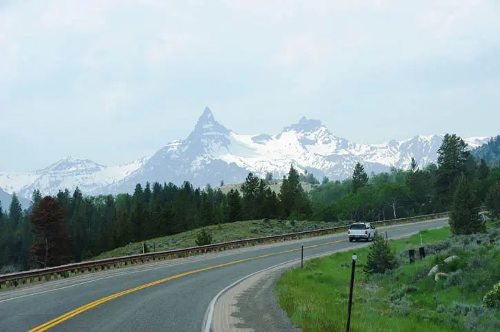
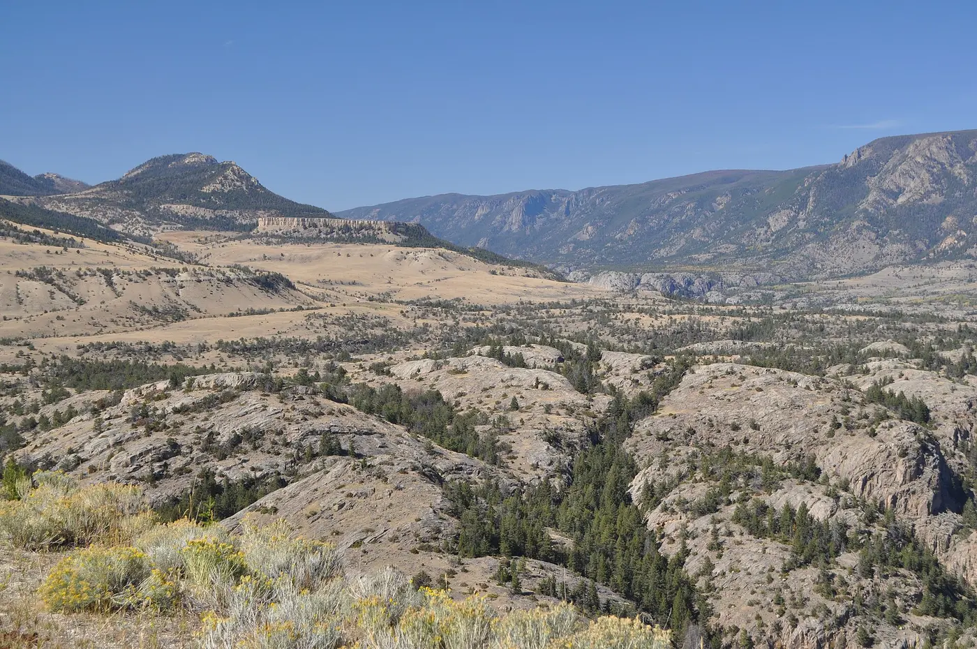
Wyoming Highway 296 leaves Wyoming 120 seventeen miles north of Cody. From there it runs 47 paved miles northwest to U.S. 212, the Beartooth Highway. The National Scenic Byway Foundation gives the length as 46 miles. The state calls the road the Chief Joseph Scenic Byway, and WyoFile calls it the Chief Joe. It links Cody with the Beartooth Highway and the Northeast Gate of Yellowstone National Park. On the way it crosses the Shoshone National Forest through the Absaroka Mountains to the Clarks Fork Valley. The Beartooth Mountains and the Clarks Fork of the Yellowstone lie to the north, and the Absarokas and the North Absaroka Wilderness lie to the south. The Wyoming Department of Transportation advises allowing one hour at the least.
Summer and fall are the most predictable seasons for the drive. The road is open year-round, and in winter the plows keep it clear to just east of the Yellowstone entrance. On almost any winter day, elk and deer can be seen along the highway near Dead Indian Mountain.
Up the grade to Dead Indian Pass
The first miles cross grassy plains. About eight miles out, the road climbs through thickening pines to the boundary of the Shoshone National Forest, which covers 3,800 square miles. From its junction on the Cody side, the highway gains 3,000 vertical feet to the pass. The summit elevation is given three ways. The WYDOT brochure puts it at 8,060 feet, WyoFile at 8,050, and the 1940 bronze marker at the overlook reads “Altitude 8000 Feet.”
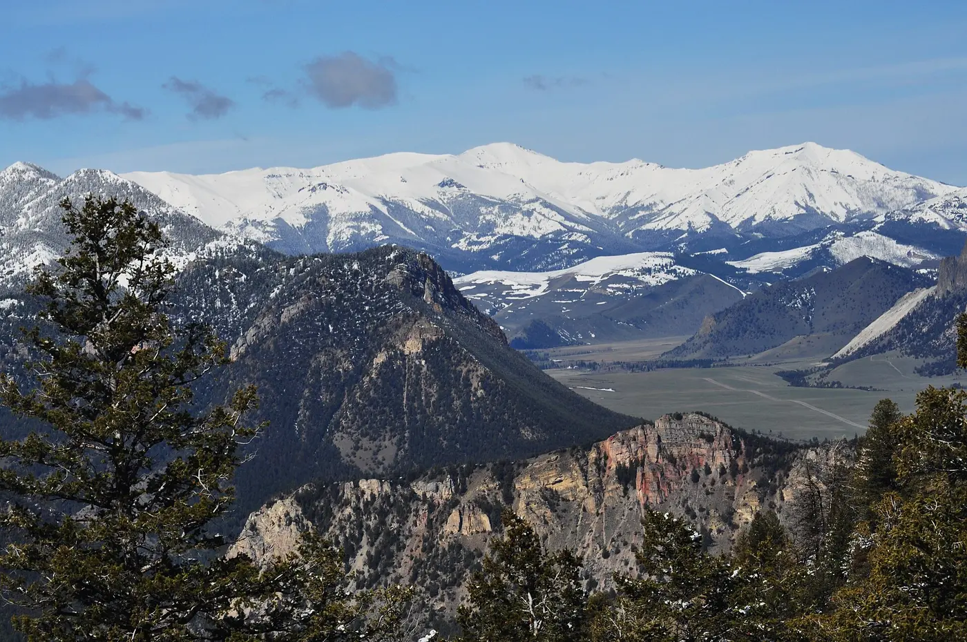
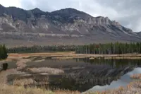
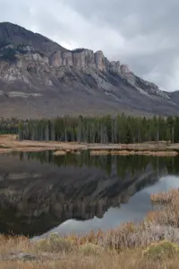
At the top, Dead Indian Summit Overlook is a paved turnout with a 220-degree view of the Absaroka and Beartooth mountains. Some 25 peaks in that view rise above 12,000 feet. Sunlight Basin lies below the western side of the pass.
Various legends explain the name of the pass. Most versions agree that in 1878 a skirmish took place here between a party of Bannock Indians and either early prospectors or the U.S. Army. One of the Bannocks died and was left at the summit. A different version holds that a mountain peak in the distance looks like the profile of a Native American.
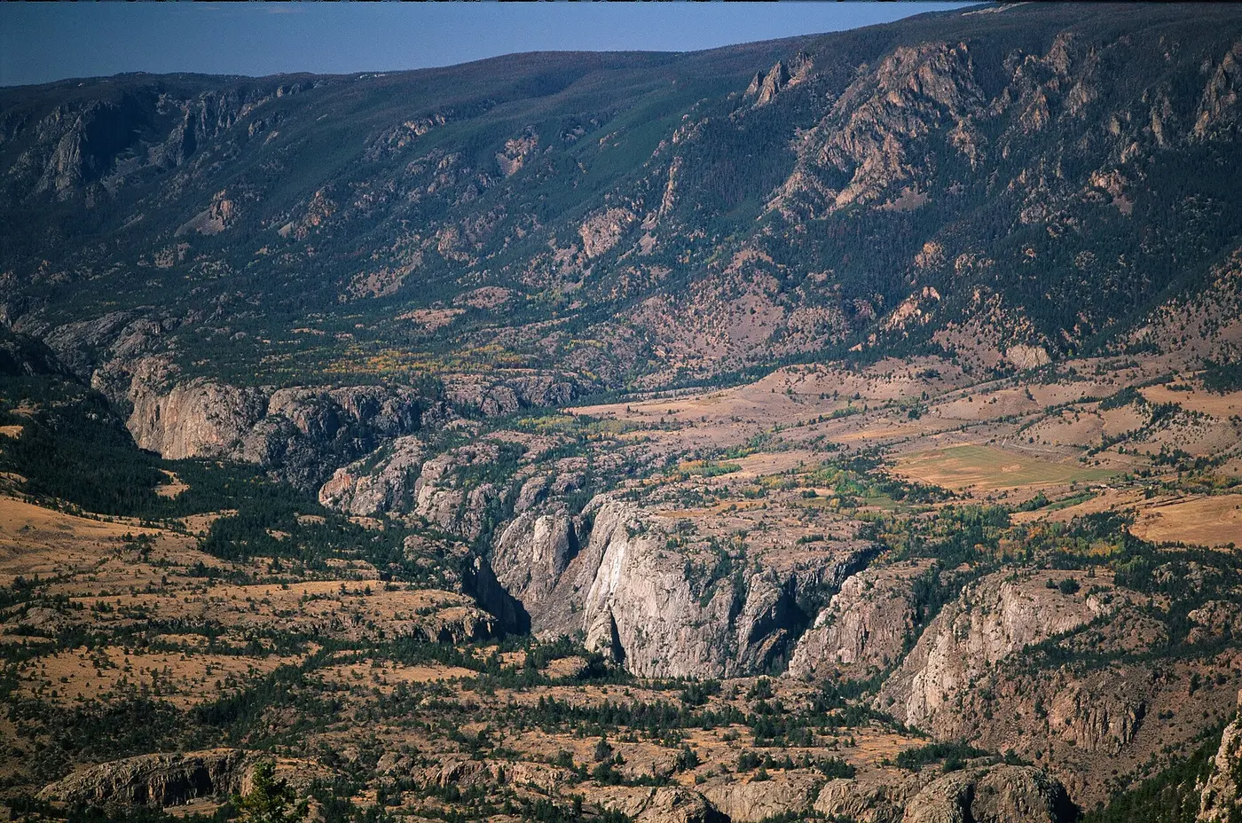
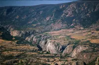
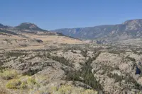
At the first switchback below the summit, a small pullout looks into the canyon of the Clarks Fork of the Yellowstone. It is Wyoming’s only designated Wild and Scenic River, and farther on the road gives a quick view of its gorge, as deep as 1,200 feet. The Cooke City side of the pass drops 2,000 feet. That descent includes an unbroken 7.2-mile double-yellow no-passing zone, with 7 percent grades and hairpin turns.
Below, Sunlight Creek has cut a deep gorge in solid rock. The bridge across it, built in 1986, is the highest bridge in Wyoming and has won awards for its engineering. A pullout gives a closer view of it.
A second crossing, the Dead Indian Creek bridge, lies 21.12 miles west of Wyoming 120 and 25.07 miles east of U.S. 212. Flood scour damaged the ground around its west pier, and the westbound lane closed August 6, 2026. As of a WYDOT notice dated August 19, 2026, the bridge was still restricted to a single 12-foot lane. “Motorists should expect a one-lane road controlled by traffic signals with less than a two-minute delay at the Dead Indian Creek bridge,” said Chad Shaffer, WYDOT’s area maintenance supervisor in Cody.
Bears, cranes, and aspen in Sunlight Basin
Throughout Sunlight Basin, visitors are reminded that this is grizzly bear country. Bears are seen near the highway now and then in spring. Moose live in the area in winter and early spring, and large numbers of elk sometimes show in the aspen and mixed conifer forest. Yellow-bellied marmots, pikas, rosy finches, and mountain bluebirds are common. Black bears and mountain goats frequent the shrubby slopes and alpine meadows near timberline, and they can sometimes be seen from the road.
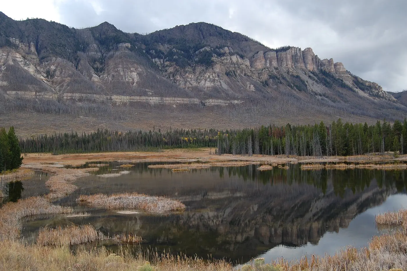
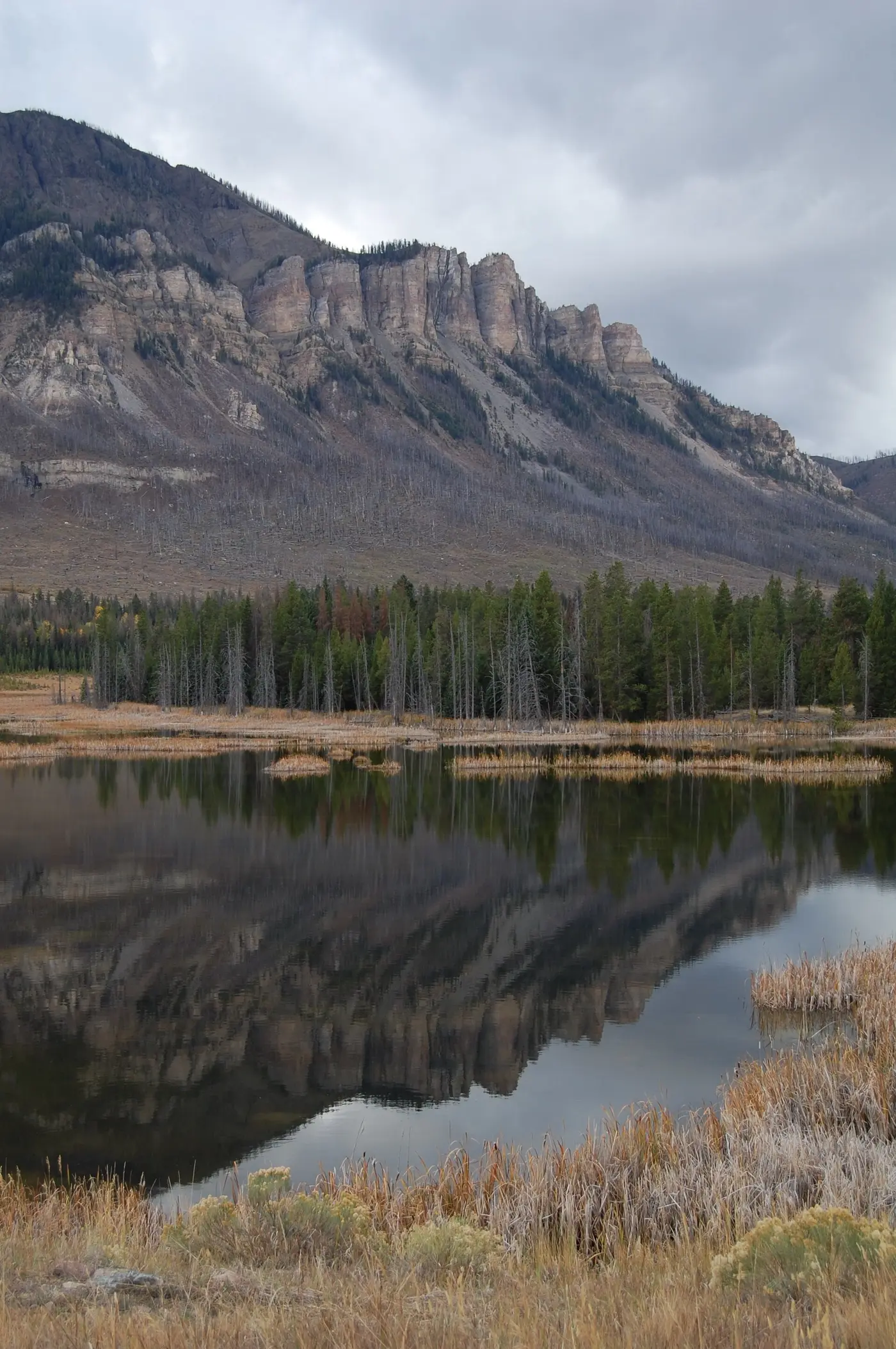
Glaciers rounded the Beartooths and shaped flat-bottomed valleys such as Sunlight Basin. Each spring and summer, snowmelt pours into Sunlight and Crandall creeks. The Swamp Lake Botanical Area is a wetland below Cathedral Cliffs. Sandhill cranes and trumpeter swans gather there with other waterfowl, and the area also has rare plants, warm springs, and fishing.
In fall, the aspen leaves turn yellow and orange against the dark pine and spruce. WyoFile notes that it can snow any day of the year in this country.
Services are few. The small settlement of Crandall has gasoline, a small store, and a restaurant. The Painter Store stands at the junction of U.S. 212 and Wyoming 296. Forest Service campgrounds lie along the way. Dead Indian Campground marks a trailhead into country reachable only on foot or horseback.
The names on the 1940 marker
The bronze marker at Dead Indian Hill Overlook was erected in 1940. Its inscription describes great herds of wild game migrating through the pass between the mountains and the plains. It calls the pass the gateway for “countless Indian hunting and war parties.” It says that in 1877 Chief Joseph led his Nez Perce through it “in a strategic and defensive retreat,” pursued by U.S. Army soldiers. After them came “a vast army of miners” bound for Cooke City, and the early settlers of Sunlight Basin, who “braved its dangers” down the steep hill.
The marker states that the first road improvement over the pass was made possible in 1909 by dwellers of Sunlight Valley. Fifteen names follow. They include Wm. V Campbell, Siras J. Davis, Wade W. McClung, John K. Rollinson, and four Painters: John R., Evelyn T., Mary E., and Wm. T. The first name is cast as Adolphus J. Beam. A great-great-grandson later wrote to the Historical Marker Database that the man was Alpheus J. Beem. Beem’s daughter Pearl Beem Horner of Cody was the correspondent’s great-grandmother, and Beem built the ranch the correspondent said is now owned by Carol Holding.
A few steps from the 1940 marker stand three more, all on the Nez Perce War: “One Last Mountain,” “The Military,” and “Diversion and Escape.” Interpretive signs along the highway describe Chief Joseph’s place in Wyoming and United States history. The Nez Perce National Historic Trail runs parallel to the road and has its own markers.
The National Park Service tells the longer story. On June 15, 1877, the Wallowa Band of Nez Perce fled their homelands in the Wallowa Valley of northeastern Oregon rather than be forced onto the reservation in Idaho. Chief Joseph’s father had refused to sign the 1863 treaty. An estimated 750 to 800 men, women, and children, with 250 warriors, traveled a winding 1,170 miles over five months. The 7th Infantry and 7th Cavalry pursued them.
After the Battle of the Big Hole, they entered Yellowstone on August 23. They met about 25 visitors in the young park, and warriors took several hostage or attacked them, killing two. The band crossed the Absarokas into Montana and turned toward Canada after the Crow refused them aid. Chief Joseph surrendered after a battle near the Bears Paw Mountains, less than 40 miles from the border. It is there, the Park Service says, that he is believed to have said, “From where the sun now stands, I will fight no more forever.”
Travel Wyoming gives a different account of where the Nez Perce lived. It says the byway’s region was the tribe’s home before they left to flee the U.S. Cavalry.
From county gravel to a haul of tailings
The 1909 road over the pass later became a county gravel road. In 1988, when only part of it was paved, Cody tourism businesses wanted to promote the Sunlight Basin route to Yellowstone’s northeast entrance. That same year, the Wyoming State Highway Commission designated the 47 miles of WYO 296 in Park County as the Chief Joseph Scenic Highway. The Knife River company built portions of the highway during the 1980s. In 1995, after a 31-year effort, the road became a fully paved state highway.
The road is narrower and lighter than the highways it joins. By WyoFile’s 2010 account, its earliest stretches were nearing their 50-year design life. WYDOT counters recorded 185,000 vehicles on it in 2008, most of them in summer. Fewer than 200 Wyoming residents live along the route year-round.
Cooke City, Montana, can be reached only by driving through Wyoming. In August 2010, WyoFile reported that Montana planned to truck thousands of tons of contaminated tailings from the abandoned McLaren mill at Cooke City over the Chief Joe. The trucks would carry the tailings 318 miles to a smelter at Whitehall to recover their remaining gold. Estimates ran to as many as 25 ten-axle belly-dump trucks a day outbound, with as many returning.
State Representative Pat Childers of Cody objected that Wyoming had been left out of the planning. Montana’s environmental quality director, Richard Opper, moved the start from June to July 2011 to keep the trucks off wet spring pavement. Opper also agreed not to haul on some summer holidays. “This is a federal highway and this is a legal haul,” Opper said. The contract went to Knife River, the same firm that had built parts of the road.
Roger Koontz, a lifelong Cody resident who runs Harris Trucking, knew the highway well. “That’s a job I would love to have,” he told WyoFile, “but those trucks will tear up that road.”
Notable Events
- 1877Chief Joseph led his Nez Perce through the pass in a strategic and defensive retreat, pursued by U.S. Army soldiers. hmdb.org
- 1909The first road improvement over the pass was made possible in 1909 by dwellers of Sunlight Valley, whose names are inscribed on the marker. hmdb.org
- 1980sKnife River built portions of the Chief Joseph Scenic Highway. wyofile.com
- 1988The Wyoming State Highway Commission designated the 47-mile-long WYO 296 in Park County as the Chief Joseph Scenic Highway. dot.state.wy.us
- 1988Cody tourism businesses sought to promote the Sunlight Basin route to Yellowstone's northeast entrance. wyohistory.org
- 1995After a 31-year effort, the former county gravel road was upgraded to a fully paved state highway. wyofile.com
- 2011Opper said he had delayed the planned haul from June to July to avoid wet spring road surfaces, after objections from Childers and WYDOT engineers. wyofile.com
- Under Childers' urging, the Park County commissioners asked Montana about compensation for potential road damage and other hauling impacts. wyofile.com
- Phone records revealed the first agency contact concerning use of the Chief Joseph Scenic Highway, according to McOmie and Carlson. wyofile.com
People
- Adolphus J. Beam, Dweller of Sunlight Valley whose group made the first road improvement possible (1909).
- Chief Joseph, Nez Perce chief and byway namesake who fled east through Yellowstone (1877).
- Siras J. Davis, Dweller of Sunlight Valley whose group made the first road improvement possible (1909).
- Wade W. McClung, Dweller of Sunlight Valley whose group made the first road improvement possible (1909).
- Wm. V Campbell, Dweller of Sunlight Valley whose group made the first road improvement possible (1909).
- Cody Beers, WYDOT spokesman explaining the highway's legal load limit.
- Dave Freudenthal, Wyoming governor asked by Childers to pressure Montana for information on the project.
- Del McOmie, Chief Operating Engineer in Cheyenne documenting the first interstate contact about highway use.
- Pat Childers, Cody state representative who raised concerns about the planned haul's road damage and tourist-economy impacts.
- Richard Opper, Montana Environmental Quality director asked about potential road damage and hauling impacts.
- Roger Koontz, Cody resident and Harris Trucking operator familiar with the highway who warned the trucks would damage it.
- Shelby Carlson, District engineer announcing a planned technical assessment of the highway before hauling.
- Tom Henderson, McLaren project manager and hydrologist defending the overland haul plan.
Sources
- dot.state.wy.us/files/live/sites/wydot/files/shared/Planning/Buffalo%20Bill%20-%20Yellowstone%20Country%20Scenic%20Byway.pdf
- nsbfoundation.com/sb/chief-joseph-scenic-byway
- travelwyoming.com/places-to-go/destinations/scenic-byways
- dot.state.wy.us/home/travel/scenic_byways.html
- dot.state.wy.us/news/wyoming-296-travel-limited-over-dead-indian-creek-bridge-following-flo