Chuckanut Drive Scenic Byway
Burlington, Skagit and Whatcom Counties County, Washington. State Byway; Year-round.
Details

- Where
- Burlington, Skagit and Whatcom Counties County, WA. No street address stated. Directions
- Getting there
- Chuckanut Drive Scenic Byway (State Route 11) stretches about 22 miles between Burlington and Bellingham.
- Access
- Open for travel year-round.
- Website
- wsdot.wa.gov
- Established
- 1916.
Chuckanut Drive leaves Interstate 5 at Exit 231, on the northern outskirts of Burlington, and runs as State Route 11 to Bellingham. Its length depends on who measured it. The National Scenic Byway Foundation gives 24 miles in one line and about 22 in another. State tourism and HistoryLink give 20. HistoryLink’s Phil Dougherty describes the first nine miles as flat country at the northern end of the Skagit Valley, and adds: “When it reaches the edge of Samish Bay, the real scenery starts.”
Farm flats, oyster beds, and the overlooks
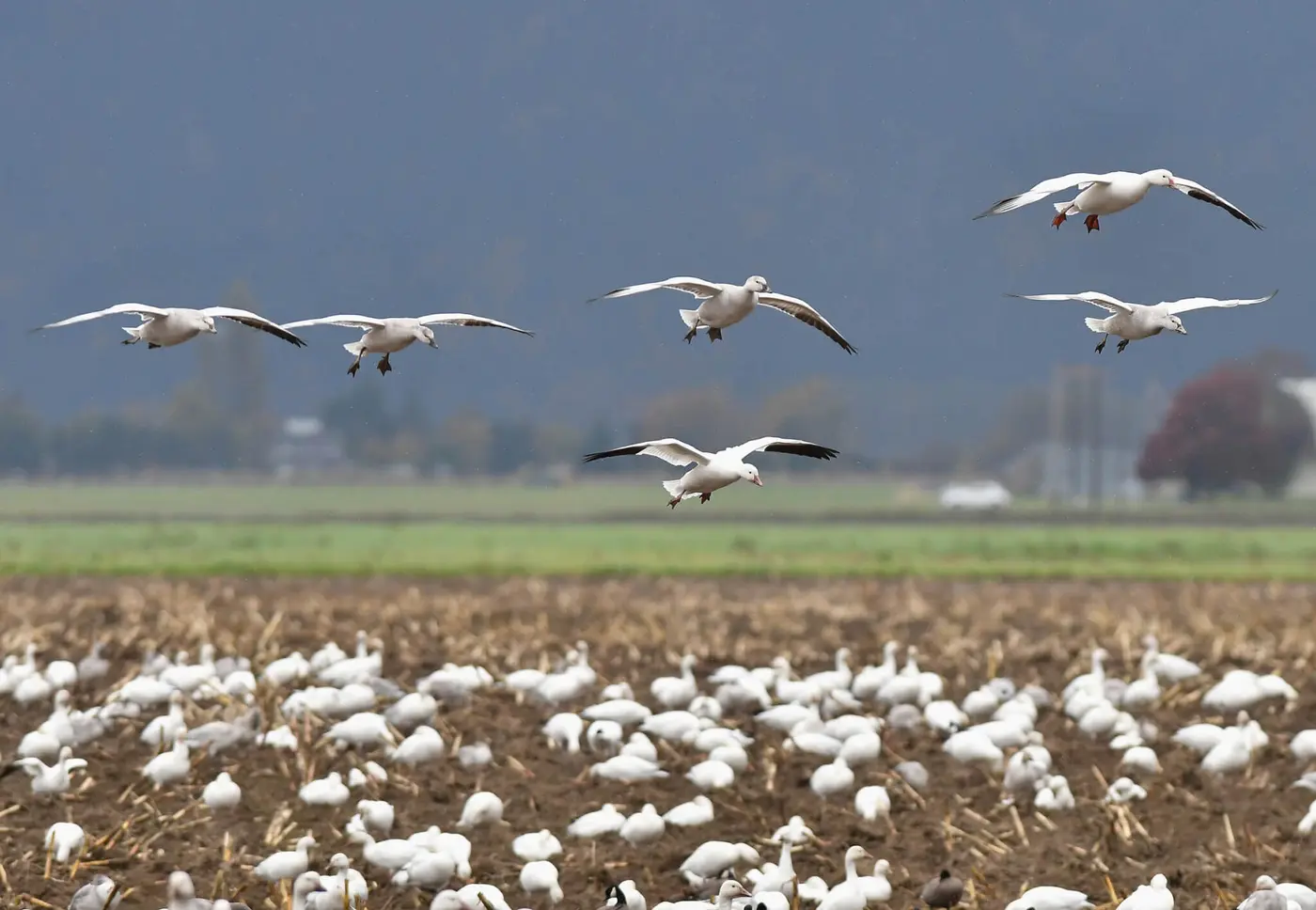
From Burlington to Bow-Edison the road crosses a patchwork of fields. A short detour along the shoreline reaches the Skagit Wildlife Area’s Samish Flats, where raptors gather in the winter birding season. In spring the valley fills with the blooms of the Skagit Valley Tulip Festival. At the Bow Junction, Bow and Edison sit just off the drive, with a compact main street, small galleries, and farm-to-table eateries. In Edison, Breadfarm sells baked goods and Slough Food sells specialty foods. The two towns also hold farmers’ markets and art walks. On Samish Bay, Taylor Shellfish Farms sells mussels, clams, and oysters, sets out picnic tables above the water, and gives tours on shellfish farming.
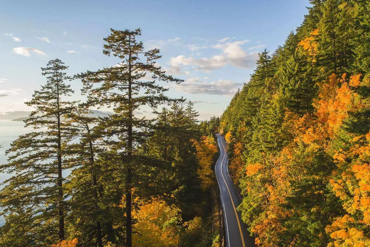
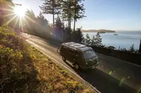
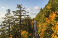
North of Legg Road, at milepost 9, the road climbs onto the face of the Chuckanut Mountains. The state highway department lists what a driver meets on this stretch:
- a narrow two-lane roadway with little or no shoulder
- restricted sight distance
- a ban on commercial trucks and buses
- severely reduced speed limits
Jean Sherrard, writing in The Seattle Times in 2025, called it a road whose “narrow curves chiseled into precipitous sandstone cliffs leave scant margins for error.” The rail line runs directly below. A low wall of original stone and mortar survives at milepost 9.95. Interpretive signs at pullouts tell about the oyster beds near Oyster Creek, at milepost 11.5, and the history of the drive, at milepost 12.45.
The pullouts face west over the bay:
- Samish Overlook.
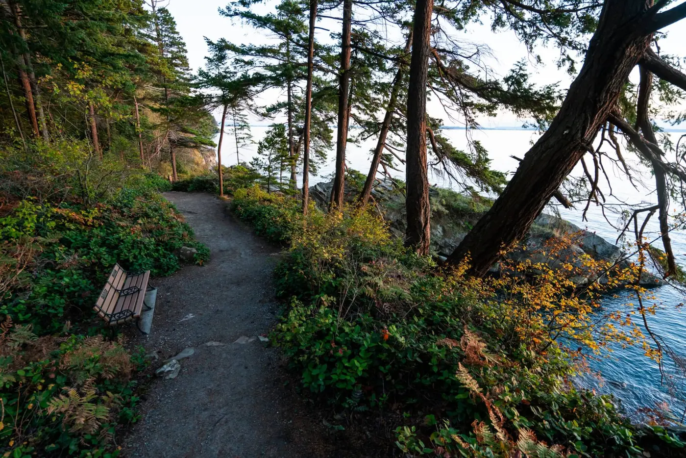
- Dogfish Point. The Byway Foundation calls it the best viewpoint on the drive, with Samish Bay below.
- The state heritage marker. Marker No. 48 stands at a lookout with parking where Chuckanut Mountain Drive meets the highway, south of Bellingham. Its text names the views of Puget Sound, the San Juan Islands, and the Olympic Mountains on the horizon.
- Oyster Dome. Hikers and paragliders use the summit, which looks over the San Juans, the Skagit River flats, the Olympics, and Samish Bay.
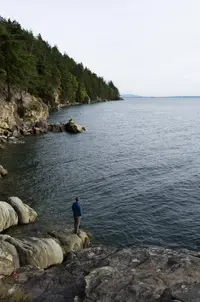
Farther north the road is the only automobile access to Larrabee State Park. The park has camping, picnicking, and miles of hiking and mountain-biking trails. In its day-use area are a pair of restrooms built with Depression-era relief money from the Public Works Administration, still in use, and a bandshell designed by architect Earle E. MacCannell and built in 1944. Since 2023 an improved trail and an overpass across the BNSF Railway have given safe access to Clayton Beach, with its sandy shore and sculptured cliffs.
The drive ends in Bellingham’s Fairhaven District. There are Village Books, Good Earth Pottery, and Estelle, a restaurant, and nearby Taylor Dock and a boardwalk run out over Bellingham Bay.
Sherrard’s grandfather Jean, a truck driver from Stillwater, Oklahoma, came to Washington in the 1930s and brought his family here. Parking on the shoulder and scrambling down to a small cove at Pigeon Point for picnics became a family tradition. Sherrard remembers sandy beaches, crab pots, and Burlington Northern trains, and the pennies the trains flattened.
Sandstone, palm fronds, and a disputed name
The cliffs are the Chuckanut Formation, alternating layers of siltstone, sandstone, and conglomerate. The two sources date and explain the rock differently:
- Washington State Parks says rivers carried the sediments from the Rocky Mountains 40 to 50 million years ago, and plate tectonics later folded the layers into tight ridges and valleys. The rock preserves large fossil palm fronds, coal seams, and the tracks of crocodiles, turtles, and extinct rhinoceros-like plant eaters.
- WhatcomTalk places the formation in the Eocene, 34 to 55 million years ago, when streams spread sand, silt, and clay over floodplains. The sediments hardened and were raised by earthquakes into the Chuckanut Mountains.
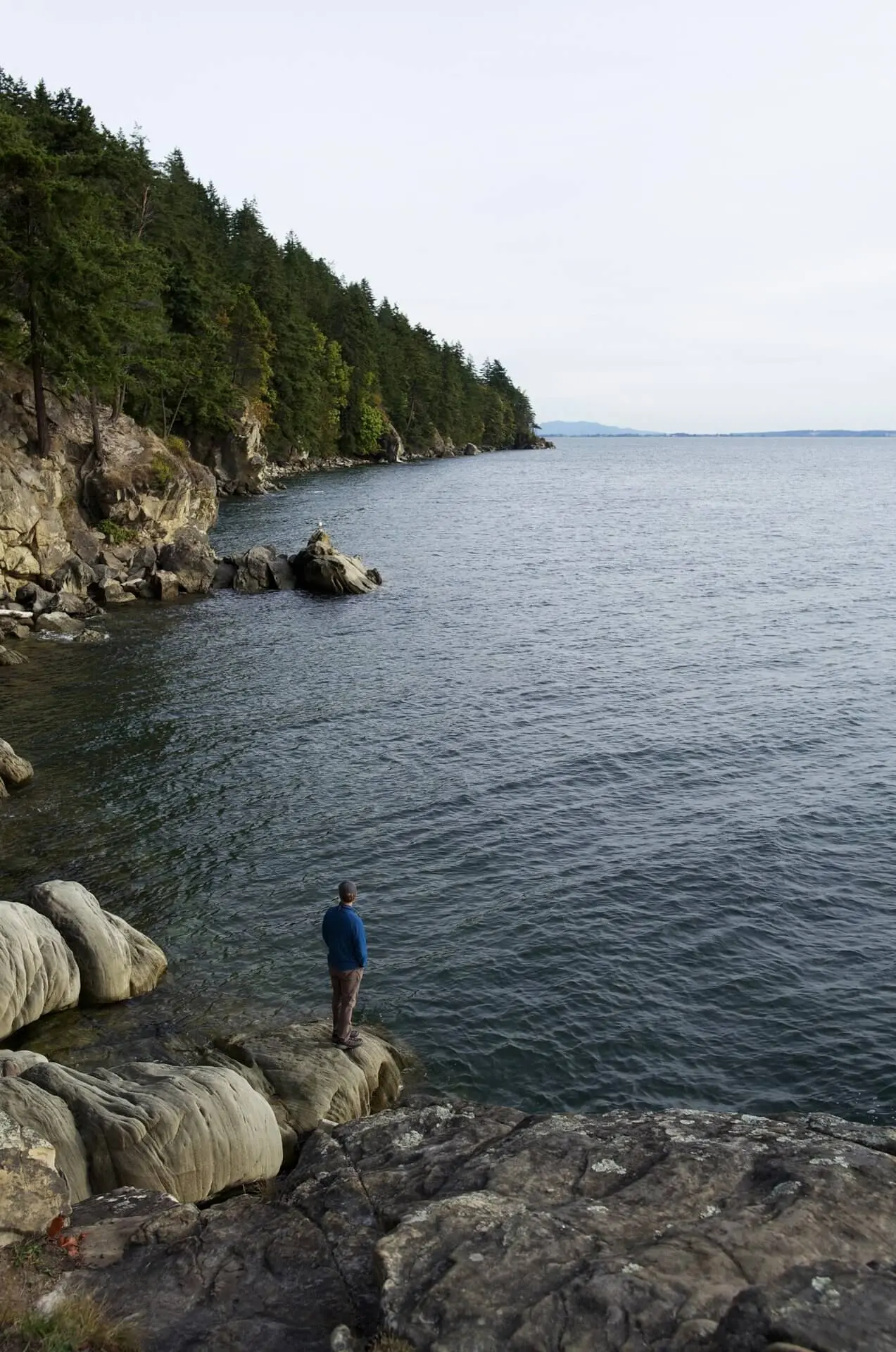
Along the trails the layers stand at steep slopes. On the shores of Larrabee, Clayton Beach, and Wildcat and Teddy Bear coves, the sandstone weathers into honeycomb pockets called tafoni.
The stone left the bay long before the road came. In 1856 the settler Henry Roeder opened the Chuckanut Stone Quarry near Teddy Bear Cove and shipped building blocks by schooner across Chuckanut Bay. Under its later name, Roth Stone Quarry, it supplied sandstone to rebuild Seattle after the fire of 1889 and San Francisco after the fire of 1906.
The land lies within the traditional territories of Coast Salish peoples. Their present-day descendants include members of the Samish Indian Nation, the Swinomish Indian Tribal Community, the Lummi Nation, the Upper Skagit Indian Tribe, the Nooksack Indian Tribe, and the Suquamish Tribe. The meaning of the name is disputed:
- HistoryLink and State Parks give “long beach far from a narrow entrance.” State Parks says the phrase fits the bay.
- The Nooksack form. In a 2016 letter to Whatcom Watch, Allan Richardson cited “Nooksack Place Names,” which he wrote with Brent Galloway. He gave the Nooksack form as Chúkwenet, meaning “beach or tide goes way out,” or more literally “distant, far away bottom.” Chuckanut Bay, he wrote, was the most important Nooksack place for digging clams, gathering other shellfish, and saltwater fishing, and the main camp stood at the mouth of Chuckanut Creek.
- The Lummi form. Richardson also gave the Lummi form, Chéqwenet, “burn at the bottom.” It refers to fires set regularly to keep the slopes above the bay clear of brush.
The tribes ceded the land under duress in the Treaty of Point Elliot in 1855. On April 23, 1892, a coal land patent passed it to Peter W. Strader, and Charles X. Larrabee later bought it.
Convicts on the ledges
Before any road, travel in northwest Washington went by canoe, steamboat, sailing ship, or train, according to the marker at Bow. From the 1860s, HistoryLink says, there was a road of sorts between Fairhaven and Blanchard. Where it ran near the water, travelers often had to stop for high tide and wait for it to drop. The Great Northern Railway bought the right-of-way along the shore in 1892, by HistoryLink’s account, or in 1893, by the Seattle Times. Road improvements then stalled, so that landslides would not block the trains.
The sources describe 1896 in different terms:
- The state marker calls the road completed that year and the first to connect Whatcom County with points south. It says the road let residents take their goods to market in Bellingham and get home the same day.
- The highway department describes a road built that year with state and Skagit County money along the shoreline below the present highway. It calls this the Old Blanchard Road, the first road linking Whatcom and Skagit counties.
- HistoryLink calls the 1896 road a logging road that for its first ten years could not really be called a road.
In 1901 Skagit County commissioners sold three miles of the road to the Great Northern for its Chuckanut Cutoff. The marker says the sale came “amidst controversy” and that the road stayed impassable afterward. A 1905 appropriation for a road from Bellingham to Bow ran out after a few miles.
Charles X. Larrabee (1843–1914), a wealthy Bellingham man, and his business partner Cyrus Gates (1858–1927) wanted a scenic drive above Samish and Chuckanut bays, and they surveyed parts of it themselves. They obtained funding for the Fairhaven section in 1907. The highway department credits bicycle riders, whose lobbying for a smooth surface helped bring about construction. In 1909 the legislature appropriated $25,000 for what was then called Waterfront Road.
In 1910 the state built a labor camp at the mouth of Oyster Creek, and convicts began work on the route Gates and Larrabee had laid out. Guards with shotguns watched them. Parts of the roadbed had to be blasted out of the cliffs. The accounts of how far they got differ:
- The highway department says they finished only 4,000 feet, from Blanchard to Oyster Creek, out of 5.5 miles intended. Critics accused the department of “bungling.”
- HistoryLink credits them with more than five miles at the southern end.
- Sherrard writes that after 5.5 grueling miles the money ran out.
In 1913 the legislature added $53,000, and the state hired Quigg Construction Company to build four more miles. That stretch hung directly over the Great Northern tracks, and debris kept falling onto the rails. The railroad sued, the contract was rescinded, and the highway department’s own crews finished the work. By the 1916 opening the road had cost about $135,000.
A widow’s twenty acres and a fifteen-foot slide
Governor Ernest Lister wanted to “secure, by donation, small tracts of land along State highways” for the “comfort of automobilists and other travelers.” In 1913 he asked Larrabee to give land along the drive, and Larrabee agreed, but he died in 1914 before the deed was drawn. His widow, Frances Larrabee (1867–1941), carried out the promise. The park opened to the public in October 1915. On November 22, 1915, the Board of Park Commissioners met in Lister’s office and accepted her 20 acres as Chuckanut State Park, Washington’s first state park.
The opening had been timed to coincide with the dedication of the drive. Then a landslide 15 feet deep covered a section of the new road, and the ceremony was put off until the following spring.
The Seattle Times hailed the spring 1916 opening as “the first link of the Pacific Highway from Vancouver, B.C., to San Francisco to parallel saltwater,” and as “an incomparable panorama of Western Washington.” The Seattle Sunday Times reported: “The roadbed is fully twenty feet wide in the narrowest places and where necessary retaining walls of concrete and stone insure the permanency. Heavy wooden guards make the passing of all vehicles absolutely safe.” The May 28, 1916, issue carried a mile-by-mile account of the route by Helene Wilson, assistant secretary of the Automobile Club of Seattle. Of the park, the Times wrote: “It will undoubtedly be appreciated by tourists desiring an ideal picnic spot.”
On February 15, 1923, the park was renamed for the Larrabee family, though Frances insisted her husband would not have wanted the recognition. The park then grew:
- 1935. A pedestrian underpass beneath the railroad, discussed almost from the park’s founding, was finished. It gave safe access from the drive to the waterfront.
- 1937. The family gave about 1,500 more acres, much of the land the trails now cross.
- 1988. The park added more than 100 acres at Clayton Beach.
The highway department and the Times put the park at 2,683 acres. The Byway Foundation says more than 2,700.
The liquor runners’ road
Paving and widening began in 1919. In 1920 the City of Bellingham paved the northern approach to Inspiration Point, near the road’s 1,460-foot summit. With federal aid, the state then carried concrete 20 feet wide and 8 inches deep three miles south, at $35,000 a mile. By the highway department’s account, two contracts in 1921 paved nearly the whole route. HistoryLink says a two-mile stretch between Oyster Creek and Blanchard waited until 1930.
Concrete bridges replaced the wooden ones. In 1924 L.A. Farmer of Anacortes won the contract for the Oyster Creek Bridge, at $10,817.50, to replace a temporary log bridge. He built an 86-foot span on a 73-degree curve, working from May 7 to September 9, 1924. HistoryLink dates the bridge 1925. The Blanchard Bridge, an 883-foot crossing over the Great Northern, opened to traffic on December 1, 1931; HistoryLink gives 1930. Both bridges keep their concrete baluster guardrails.
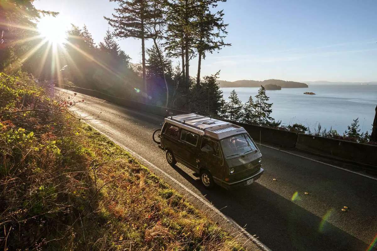
From 1913 until 1931 the drive was part of the Pacific Highway, and in 1926 it became US Route 99. Tourist buses with observation windows used it, and so did smugglers moving liquor and narcotics south from Canada. In 1922 the Seattle Times reported a cocaine seizure in Seattle and traced the drug from Vancouver “along Chuckanut Drive, the liquor runners’ road.” In 1931 an inland bypass took the US 99 designation, the drive became US 99 Alternate, and the smuggling waned. Asphalt replaced the concrete in 1958, and in 1964 the road was renumbered State Route 11.
Rockfall and landslides have closed the road for repairs ever since, and the failures have left modern retaining walls along the mountainside. The stone and mortar walls at the scenic pullouts, built more for decoration than safety, have been rebuilt.
The highway department considers the nearly 11 miles from Legg Road to Fairhaven eligible for the National Register of Historic Places. It judges the road essentially unchanged since it was built. The eligible segment ends at the north end of the Padden Creek Bridge, milepost 19.92. That bridge, then called the 12th Street Bridge, is 539 feet of concrete, built between August 4 and August 20, 1932. It still carries its concrete baluster rails and what appear to be its original glass lights on concrete standards.
Notable Events
- 1892In 1892 the Great Northern Railway bought the right of way to this road, and it was discontinued. historylink.org
- 1901In 1901, amidst controversy, Skagit County sold a three mile section of the road to the Great Northern Railway. hmdb.org
- 1905In 1905 the Washington State Legislature allocated funds for an improved road to run from Bellingham to Bow, but funding ran out after only a few miles were completed. historylink.org
- 1907Larrabee and Gates obtained funding to build the Fairhaven section of the road in 1907. historylink.org
- 1909Cyrus Gates and C.X. Larrabee helped influence the Washington Legislature to appropriate $25,000 in 1909 for construction of a road on the flanks of Chuckanut Mountain. wsdot.wa.gov
- 1910Construction was carried out during 1910 by convicts monitored by armed guards. historylink.org
- 1910The road remained impassable until convicts from local jails began rebuilding it in 1910. hmdb.org
- 1910A nascent state highway department took control in 1910 with inexperienced convict crews guarded by men with shotguns; after 5.5 grueling miles the money ran out and labor stopped until further state funding arrived. seattletimes.com
- 1910In 1910, when the state built a labor camp at the mouth of Oyster Creek, convicts began building the road on a route suggested by Gates and Larrabee. wsdot.wa.gov
- 1913The 1913 legislature created the State Board of Park Commissioners to accept donations of land from wealthy citizens that became the first state parks, Chuckanut, now Larrabee, and Jackson Courthouse. historylink.org
- 1913That same year, the not-quite-finished road was designated part of the Pacific Highway, a designation that remained until 1931. historylink.org
- 1913The Department contracted with Quigg Construction Company in 1913 to build an additional four miles of roadway. wsdot.wa.gov
- 1915The park opened to the public in October 1915, planned to coincide with the dedication of Chuckanut Drive, but the ceremony was postponed when a section of the newly completed road was covered by a landslide 15 feet deep and finally held the following spring. parks.wa.gov
- 1916The state highway department eventually took over the completion of the road, and it opened in the spring of 1916. historylink.org
- 1916On its spring 1916 opening the road boasted a slew of firsts; a glowing Seattle Times account called it the first link of the Pacific Highway from Vancouver, B.C., to San Francisco to parallel saltwater. seattletimes.com
- 1919In its original incarnation it was a narrow dirt and gravel road, but paving and widening of the road began in 1919. historylink.org
- 1920sChuckanut Drive proved an irresistible temptation to smugglers bringing both narcotics and liquor from Canada into the allegedly dry America of the Prohibition years of the 1920s. historylink.org
- 1920sBy the mid-1920s tourist-filled buses with observation windows shared the highway with smugglers moving liquor and drugs from Canada around Prohibition. seattletimes.com
- 1920In 1920 the City of Bellingham paved a section of the road approaching its north end to Inspiration Point near the road's 1,460-foot summit. wsdot.wa.gov
- 1921Most of the road remained gravel until 1921, when two contracts resulted in paving nearly the entire route. wsdot.wa.gov
- 1923The park's name was changed to honor the Larrabee family on February 15, 1923, although Frances insisted that her late husband would not have wanted such recognition. parks.wa.gov
- 1924Work began on May 7, 1924, and was completed September 9, 1924. wsdot.wa.gov
- 1926It was designated US Route 99 in 1926, but changed to US Route 99 Alternate in 1931 when an inland bypass was designated by the state as US 99. wsdot.wa.gov
- 1931The smuggling problem waned in 1931 when a bypass route for the Pacific Highway opened farther inland, and Chuckanut Drive became the scenic drive for which it was originally intended. historylink.org
- 1931Work began in February and the 883-foot long concrete tee-beam bridge was opened to traffic on December 1, 1931. wsdot.wa.gov
- 1935A pedestrian underpass below the railroad tracks, discussed soon after the park was established to allow safe waterfront access from Chuckanut Drive, was finally completed in 1935. parks.wa.gov
- 1937Much of the land the park trails wind through was added to the park in another donation from the Larrabee family in 1937. parks.wa.gov
- 1944In 1944, a distinctive bandshell designed by architect Earle E. MacCannell was built. parks.wa.gov
- 1958The road's concrete paving was replaced with asphalt in 1958, providing a smoother ride for motorists. historylink.org
- 1964Highway renumbering changed the designation to State Route 11 in 1964. wsdot.wa.gov
- 1988The park acquired more than 100 acres in 1988 encompassing the sandy shore and sculptured cliffs of Clayton Beach. parks.wa.gov
- 2023In 2023, an improved trail and overpass over the BNSF Railway provided a long-awaited safe access to Clayton Beach. parks.wa.gov
People
- Charles X. Larrabee, Wealthy Bellingham resident who envisioned the scenic drive and surveyed parts of the road (1843-1914).
- Cyrus Gates, Larrabee's business partner who helped survey parts of the road (1858-1927).
- Ernest Lister, Governor of Washington who in 1913 approached Charles Larrabee about donating land along Chuckanut Drive for a state park (1870-1919).
- Frances Larrabee, Widow of Charles X. Larrabee who sealed the park donation deal after his death; the 20-acre Chuckanut State Park was established in October 1915 (1867-1941).
- Earle E. MacCannell, Architect who designed the park's distinctive 1944 bandshell.
- Henry Roeder, Early settler who established the Chuckanut Stone Quarry near Teddy Bear Cove in 1856, shipping sandstone blocks by schooner over Chuckanut Bay, the bay the drive is named for (1856).
- L.A. Farmer, Anacortes contractor who built the Oyster Creek Bridge (1924).
Sources
- stateofwatourism.com/scenic-byways/chuckanut-drive-scenic-byway
- wsdot.wa.gov/construction-planning/protecting-environment/historic-highways/historic-highway-sr-11
- seattletimes.com/pacific-nw-magazine/april-6-now-then
- whatcomwatch.org/index.php/article/redefining-chuckanut
- historylink.org/File/9855
- hmdb.org/m.asp?m=143275
- parks.wa.gov/about/news-center/field-guide-blog/larrabee-state-park-history
- nsbfoundation.com/sb/chuckanut-drive