Gold Butte Back Country Byway
Mesquite, Clark County, Nevada. Back Country Byway.
Details

- Where
- 4701 North Torrey Pines Drive, Mesquite, NV. Directions
- When
- open and accessible 24 hours a day, 365 days a year.
- Getting there
- From Las Vegas, take Interstate-15 approximately 69 miles north to Exit 112/State Route 170. Travel south on State Route 170 for approximately 3 miles to the Gold Butte Backcountry Byway (Gold Butte Road). Turn right onto the Byway and travel approximately 12 miles to the Monument boundary. The nearest communities are Mesquite and Bunkerville, Nevada.
- Fees
- No admission fees or special permits are required to visit Gold Butte National Monument.
- Access
- Camping here is primitive and no services or facilities are provided. All roads within the Monument are primitive and may require the use of high-clearance and 4 wheel-drive vehicles.
- Phone
- (702) 515-5000
- Website
- blm.gov
- Managed by
- Bureau of Land Management.
Three miles south of Interstate 15 at Exit 112, State Route 170 crosses the Virgin River on a bridge. Immediately beyond it, Gold Butte Road turns off to the right. This is the start of the Gold Butte Back Country Byway, a 62-mile loop through the southeastern corner of Nevada. The Bureau of Land Management lists it among the first back country byways it designated. The first stretch is paved and, in Travel Nevada’s word, potholed. About 12 miles in, a sign marks the boundary of Gold Butte National Monument. About 8 miles farther, at Whitney Pocket, the pavement ends.
The BLM rates the byway Type II. That is its class for roads a two-wheel-drive, high-clearance vehicle can travel “without undue difficulty.” The bureau allows 4 to 5 hours for the drive. Its byway page asks for sturdy tires and says the last 20 miles should be driven only in high-clearance vehicles. Travel Nevada is blunter. It says the road was last maintained decades ago and that one or two flat tires are common. It advises four-wheel drive and two full-sized spares. Inside the monument there is no fuel and no rest stop, and cell service is limited or absent. There is no fee, and the land is open at all hours, every day of the year.
Pavement’s end at Whitney Pocket
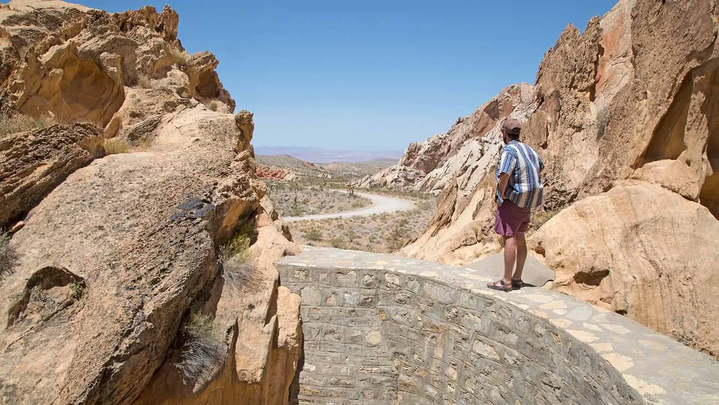
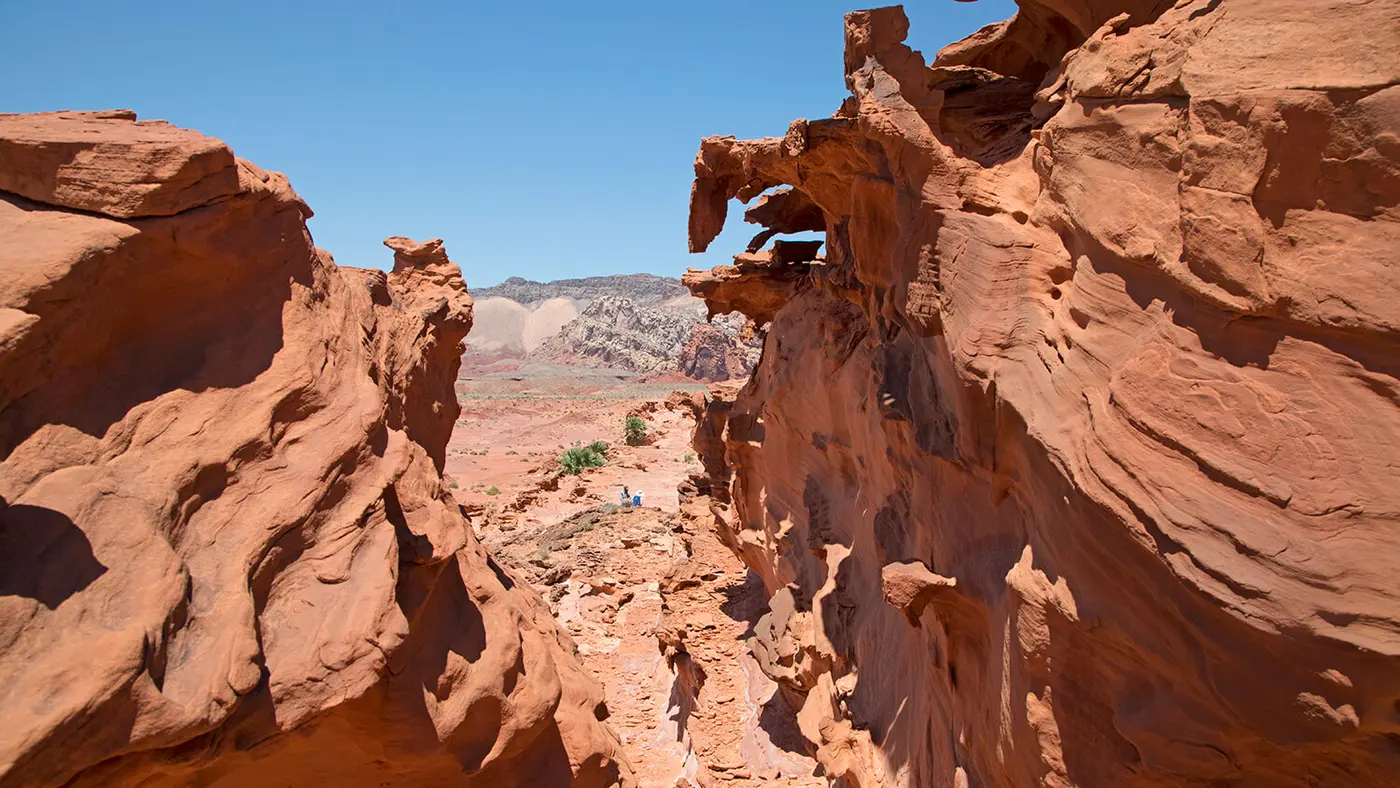
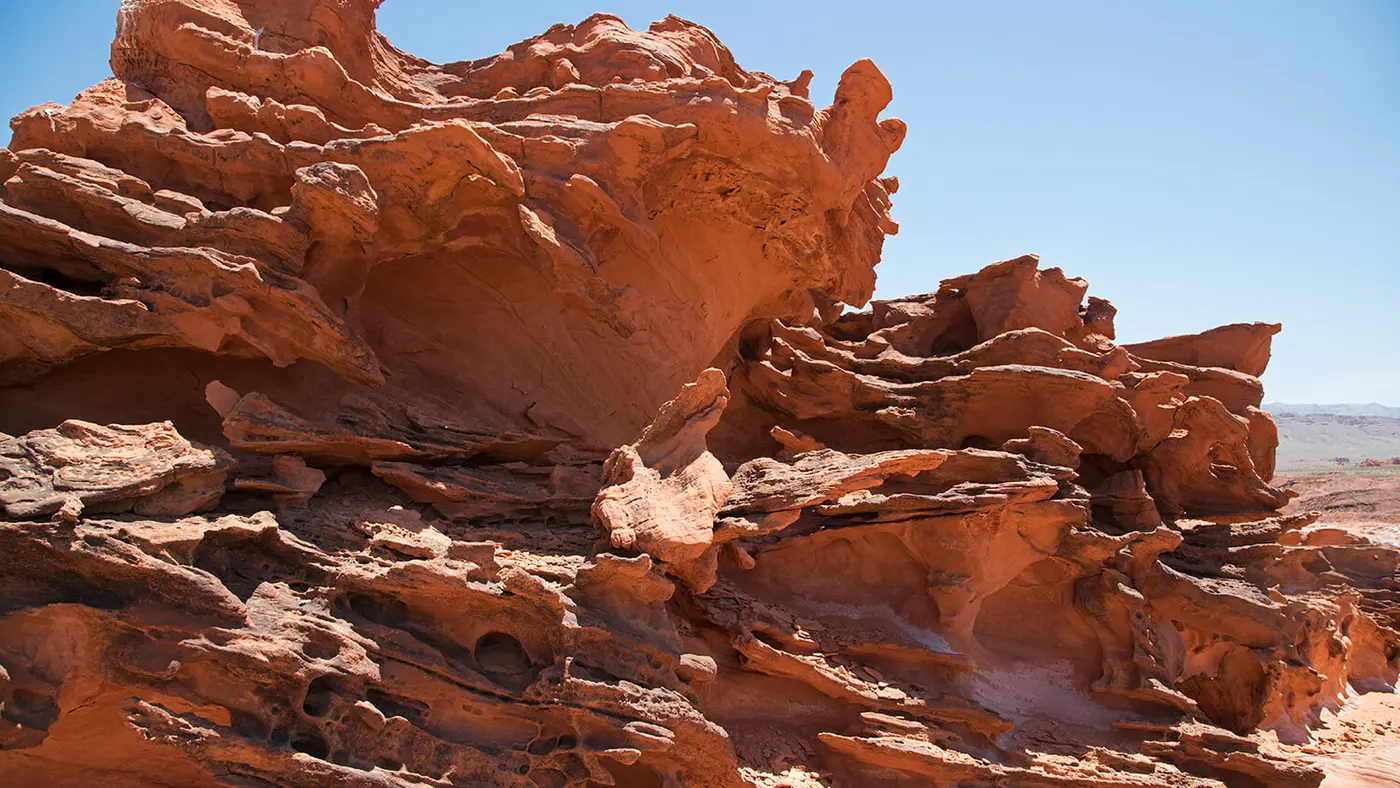
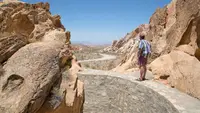
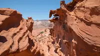
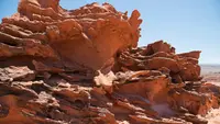
Whitney Pocket is a wall of sandstone pitted with hollows of many sizes, shaped by water and wind over millennia. The BLM calls it the gateway to the heart of the monument. Friends of Gold Butte, an advocacy group based in Mesquite, calls it the focal point of recreation, with the heaviest camping and off-roading in the area. Camping is primitive, with no facilities, and riders unload off-highway vehicles here before heading out.
Travel Nevada directs visitors to the remains of a prehistoric roasting pit and to petroglyphs nearby. In the 1930s the Civilian Conservation Corps set up a camp at Whitney Pocket to build a dam that would catch rainwater for ranching. The crews built storage rooms into the sandstone alcoves. The Friends note that all of this sits within a Native American habitation site. One of those rooms was later damaged: a wall was torn down for a fire ring, and graffiti covered the inside of the alcove. The Friends write that after a small sign went up showing how the room had looked several years before, the damage stopped. Visitors then began trying to rebuild the side that had been pulled down.
Down to the townsite and back by Mud Wash
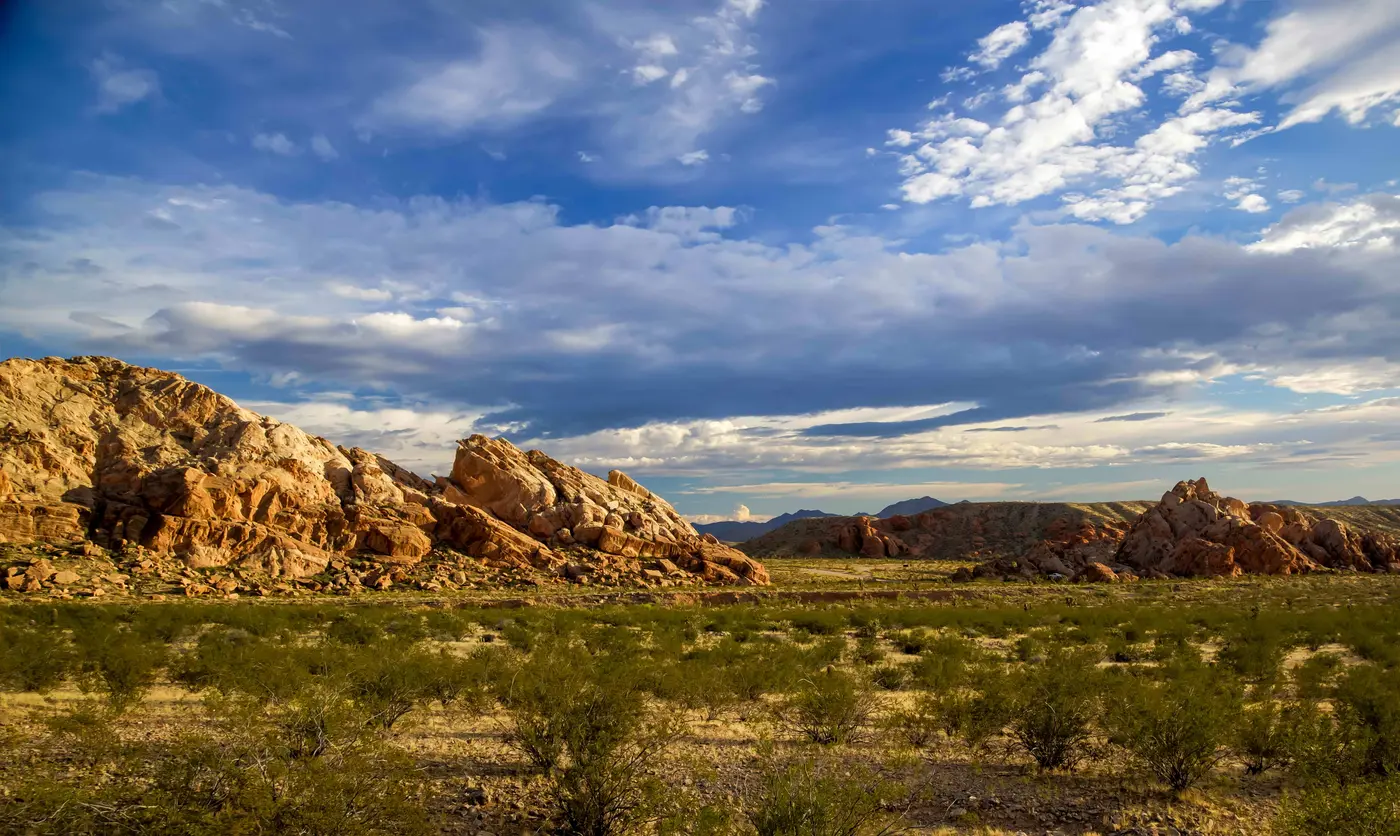
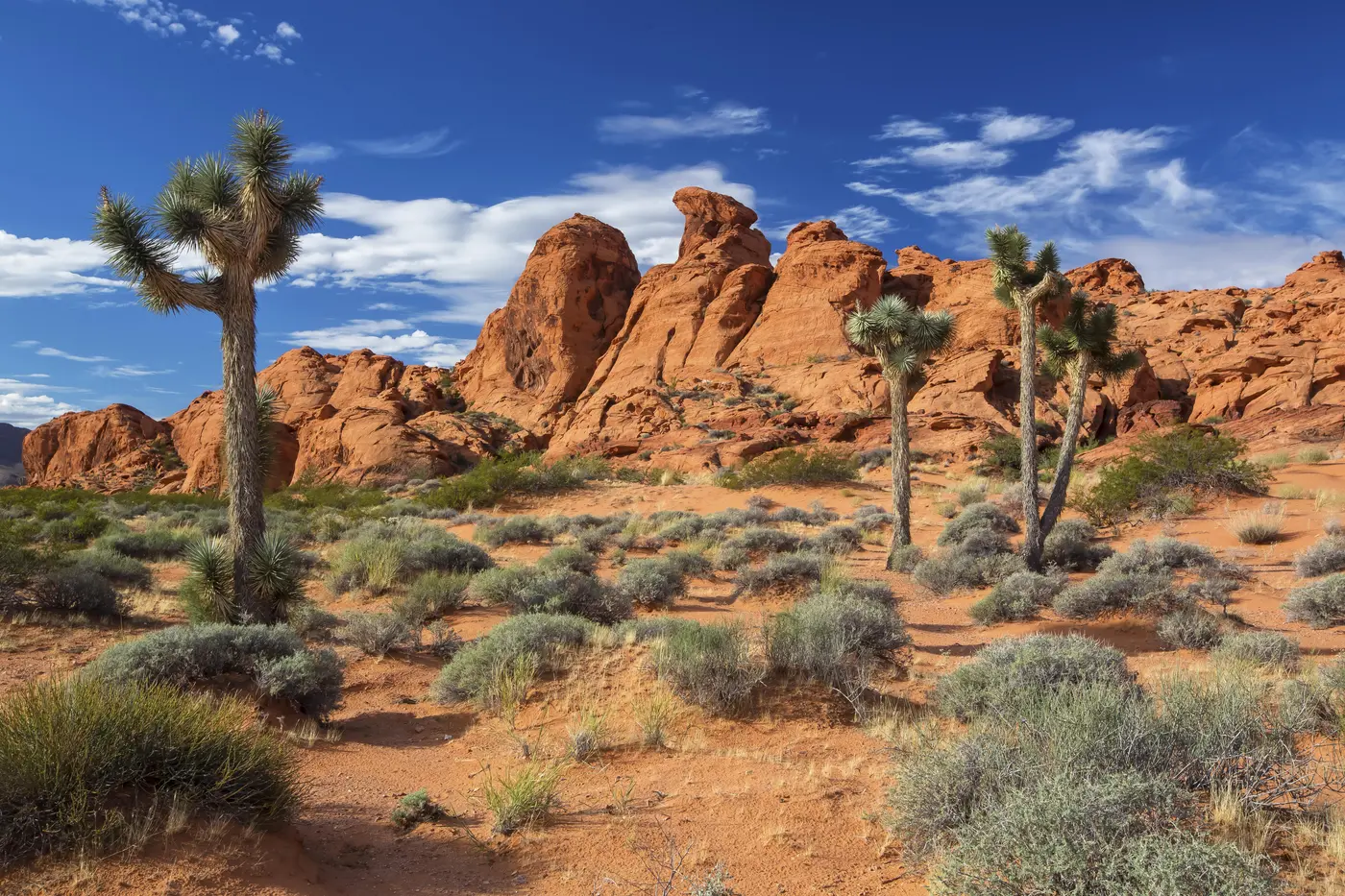
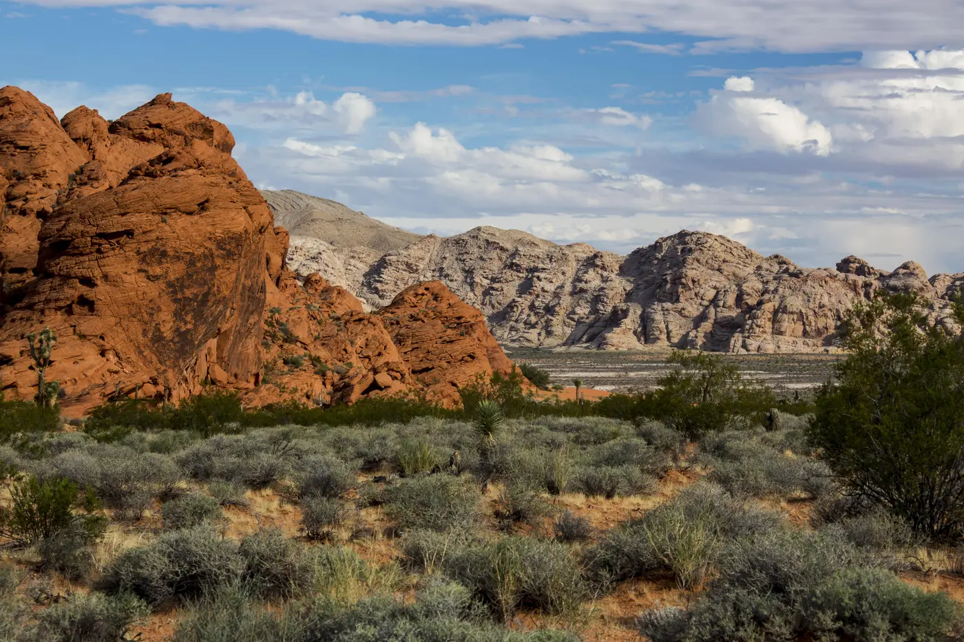
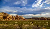
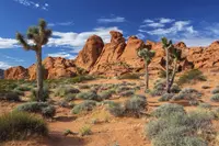
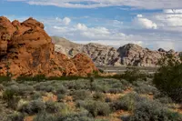
Past Whitney Pocket the road is graded native soil for about 20 miles. The 2016 proclamation that created the monument describes Aztec Sandstone “twisted into otherworldly shapes by wind and water” and pale granitic domes. It also names the Virgin Mountains, which rise to almost 8,000 feet along the northeast edge and are regularly snow-covered in winter and spring. Creosote bush and white bursage cover the open flats. Blackbrush, which can live up to 400 years, grows at middle elevations, and Joshua trees stand in scattered groves. The BLM notes views across to Lake Mead National Recreation Area and Valley of Fire State Park. In the southwest corner of the monument, Bonelli Peak rises to 5,334 feet. According to the Friends, it is named for a man born Daniel Johann Bommeli.
The proclamation places a settlers’ corral at Horse Springs, along the byway. The Friends describe it: short on wood, its builders set it against a rise and made its walls from rock. They also built a rock wall up the hillside to steer the herd inside. The wood they did use still stands, weathered.
At the end of the dirt stretch is the Gold Butte Townsite, which gave its name to the mining district and later to the monument. Sources date it differently:
- The BLM’s byway page says the town was established in 1908 and mined copper, gold, lead, and zinc.
- The Friends say gold was discovered in 1906, and by 1907 the camp was booming with a speculated population of 2,000. By 1909 the boom had gone bust and the post office was removed.
- The proclamation says the town was mostly abandoned by 1910.
- Travel Nevada dates the district’s mines to about 1905–1910.
The Friends add that mining is thought to have begun far earlier, in the 1700s, when the Spanish left arrastras behind. An arrastra is a large hollowed flat rock over which a donkey dragged another rock to crush ore. Four are known in the townsite area. Mica was mined and shipped from the district in the 1800s. Today the site holds several foundations, historic gravesites, and old mine shafts.
One arrastra lay hidden in shrubs for many years until the fire of 2005 burned the area and exposed it. Within a few weeks, the Friends report, some of the more valuable artifacts around it were gone. The same area has a corral from the 1930s associated with Bill Garrett, Art Coleman, and “Crazy Eddie” Bounsall. The Friends say many locals still know these names and tell stories of their lives in the desert. More recently, someone sawed off the wooden boards of the corral’s loading chute for firewood.
From the townsite the byway turns north on Gold Butte Wash Road, also called Red Bluff Spring Road. It narrows to a single lane and runs to Mud Wash. Mining went on after the boom: the Grand Gulch copper mine produced much of the copper needed for World War I. Wagons hauled the ore to the railroad spur at St. Thomas, and the Friends say those wagon trails can still be followed. The wagon masters signed their names in wagon-wheel axle grease on the sandstone walls of Mud Wash.
Mud Wash Road begins in a wide wash that leads to the Devil’s Throat. Travel Nevada describes the sinkhole as 110 feet deep and so screened by sagebrush and yucca that it is nearly hidden in plain sight. A chain-link fence surrounds it, and the edge is unstable. The proclamation calls it an actively expanding sinkhole of 1,200 square meters, the subject of several scientific studies of how sinkholes form. Just past it, the byway meets itself again at about mile 29 of Gold Butte Road.
Roasting pits and rock art
The sources differ on how long people have lived here. The Friends write that Native Americans have depended on the Gold Butte country for over 3,000 years. The proclamation says it has fed and sheltered people for at least 12,000. Agave roasting pits survive as circular mounds of white rock up to 25 feet across. The rocks whitened in the heat and were tossed to the edge with each use. The Friends report that grinding stones still lie beside some of these ovens, and that archaeologists estimate more than 2,000 sites within the Gold Butte complex.
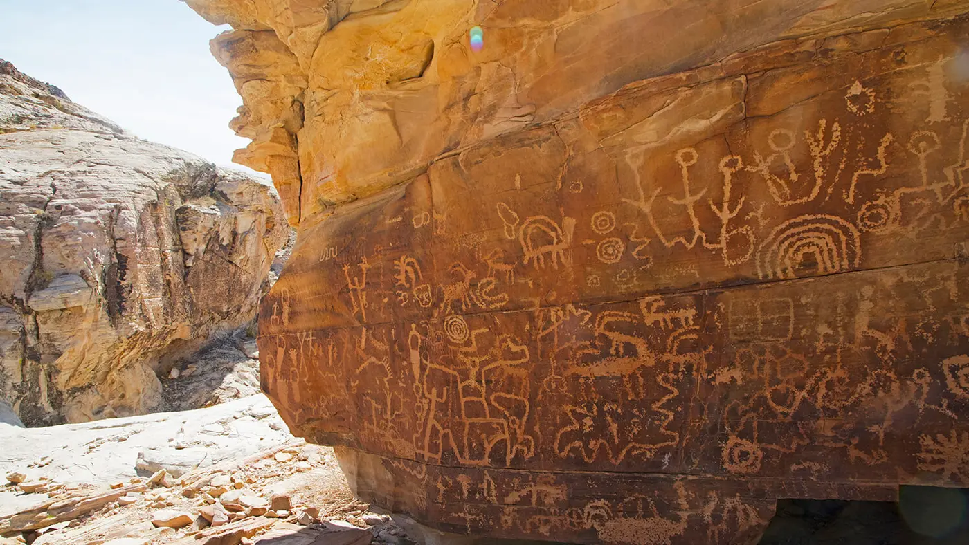
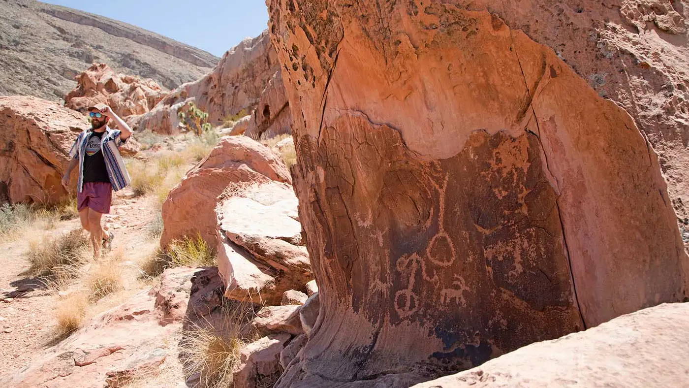
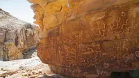
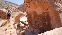
Rock art appears throughout the central sandstone country, sometimes in panels up to 90 feet long. Some panels show several generations of use. The proclamation names the Falling Man petroglyph site and Kohta Circus, with figures of people, animals, and swirling abstract designs. It also records dinosaur tracks from the Jurassic Period in the same Aztec Sandstone. The modern Moapa and Las Vegas Bands of Paiutes trace their roots to Gold Butte. The BLM recognizes several Traditional Lifeway Areas here, used for gathering medicinal plants and basket materials. Travel Nevada asks visitors not to touch the petroglyphs, because the oils on fingers damage them.
According to the proclamation, Southern Paiute people were living here when Spanish explorers arrived in the late eighteenth century. By 1865, Mormon pioneers had built settlements in the region.
A monument drawn on the 2008 road map
In 1998 the BLM designated Gold Butte an Area of Critical Environmental Concern and removed all grazing rights. A federal law for Clark County in 2002 created two wilderness areas, Jumbo Springs and Lime Canyon, which the Friends say was only a fraction of what citizens had proposed. Friends of Gold Butte formed in early 2003. In the fall of 2008, Congresswoman Shelley Berkley introduced the Gold Butte National Conservation Area and Wilderness Act. More bills followed in 2013. At a public meeting in February 2015, Congresswoman Dina Titus stood for hours listening to more than 300 constituents speak. That July, hundreds of Nevadans rallied at Zappos.com in downtown Las Vegas. On April 7, 2016, Senator Harry Reid gave a floor speech on recent damage at Gold Butte.
On December 28, 2016, President Obama designated Gold Butte National Monument, about 296,937 acres in Clark County. The proclamation allows motor vehicles only on roads already open on that date. A 2024 BLM memorandum clarifies that this means the routes approved in the bureau’s July 2008 route decision. That network is about 300 miles of legal roadway, of which, the Friends report, only one section of Gold Butte Road is paved. The same memorandum, dated December 13, 2024, sets January 2031 as the goal for completing the monument’s first management plan.
Notable Events
- 1700sMining is thought to have begun in the 1700's when the Spanish left remnants of their efforts in the form of arrastras. friendsofgoldbutte.org
- 1865Mormon pioneers had built settlements in the Gold Butte region by 1865. blm.gov
- 1900sThe Gold Butte townsite was established as a mining boomtown in the early 1900s and was mostly abandoned by 1910. blm.gov
- 1906Gold was discovered in 1906, and by 1907 Gold Butte was booming with a speculated population of 2,000. friendsofgoldbutte.org
- 1908The mining town along the byway was established and produced copper, gold, lead, and zinc. blm.gov
- 1909By 1909 the boom went bust and the post office was removed from the townsite of Gold Butte. friendsofgoldbutte.org
- 1930sThe Civilian Conservation Corps built features in Gold Butte, including a dam and a camp in the Whitney Pockets area. blm.gov
- 1998The journey to protection started with the administrative designation of Gold Butte as an Area of Critical Environmental Concern by the Bureau of Land Management in 1998, and all grazing rights were removed. friendsofgoldbutte.org
- 1998Livestock grazing has not been permitted in the monument area since 1998, after grazing permits were retired under the Clark County habitat conservation plan and the 1998 Las Vegas Resource Management Plan closed most of the land to grazing for the Mojave Desert tortoise. npshistory.com
- 2002In the Clark County Conservation of Public Land and Natural Resources Act of 2002 Gold Butte received only a fraction of the wilderness proposed by citizens. friendsofgoldbutte.org
- 2003In early 2003, Friends of Gold Butte was formed to bring together advocates who were fighting for the area's permanent protection. friendsofgoldbutte.org
- 2005When the fire of 2005 burned the area, an arrastra long set in shrubs was uncovered, and in just a few weeks some of the more valuable artifacts around it were gone. friendsofgoldbutte.org
- 2007A Southern Nevada Public Lands Management Act funded archaeology study - random surveys of habitat type, surveys of known sites, several excavations, rock art documentation, and a historic report including an oral history document - was completed at the end of the 2007. friendsofgoldbutte.org
- 2008Under the same SNPLMA funding, a biological study was approved and initiated in 2008 to help the BLM and stakeholders decide management practices for the cultural resources in the Gold Butte area. friendsofgoldbutte.org
- 2008The route designations open to motorized travel in the Gold Butte area were authorized by BLM Nevada's July 2008 Decision Record, carried in the July 2008 Route Designations environmental assessment NV-052-2006-433 for the Areas of Critical Environmental Concern in the northeast portion of the Las Vegas District. npshistory.com
- 2016President Obama issued the Proclamation designating the Gold Butte National Monument, reserving more than 296,937 acres of land in Clark County as the smallest area compatible to protect the objects identified. npshistory.com
- The depression era Civilian Conservation Corps left a long series of stone check dams in Windmill Wash south of Bunkerville, and at Whitney Pockets a CCC camp was established to build a dam to catch rain water for ranching. friendsofgoldbutte.org
- Mining continued in the area as the Grand Gulch copper mine produced much of the needed copper for World War 1, hauled by wagon to the St. Thomas railroad spur. friendsofgoldbutte.org
People
- Shelley Berkley, Congresswoman who introduced the Gold Butte National Conservation Area and Wilderness Act (fall of 2008).
- "Crazy Eddie" Bounsall, One of the colorful characters associated with a 1930s rock corral in the Gold Butte area, whose name locals still recognize (1930's).
- Art Coleman, One of the colorful characters associated with a 1930s rock corral in the Gold Butte area, whose name locals still recognize (1930's).
- Bill Garrett, One of the colorful characters associated with a 1930s rock corral in the Gold Butte area, whose name locals still recognize (1930's).
Sources
- blm.gov/visit/gold-butte-back-country-byway
- blm.gov/programs/recreation/recreation-programs/byways/nevada
- blm.gov/visit/gold-butte-national-monument
- friendsofgoldbutte.org/latestposts
- travelnevada.com/parks-recreational-areas/gold-butte-national-monument
- blm.gov/sites/default/files/BLM_Backcountry_Byways_Sytem_Brochure.pdf
- friendsofgoldbutte.org/about-gold-butte/historical-resources
- friendsofgoldbutte.org/about-gold-butte/cultural-resources
- friendsofgoldbutte.org/about-gold-butte/designations
- friendsofgoldbutte.org/about-gold-butte/timeline-of-protection
- npshistory.com/publications/blm/gold-butte/interim-mgt-plan-2024.pdf
- blm.gov/sites/default/files/documents/files/2016goldbutte.prc_.rel_.pdf