
Mt. Charleston Scenic Byway
Mt. Charleston, Nevada. State byway.
Details
- Where
- Sr 156, Sr 157, Sr 158, Mt. Charleston, NV 89124. Directions
- When
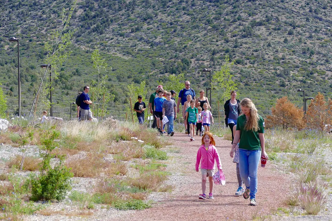
- The Spring Mountains Visitor Gateway is open 9am - 4pm 7 days a week.
- Season
- Year-round programming; National Public Lands Day volunteer events held late September each year; winter seasonal ranger positions open late September through early October each fall.
- Getting there
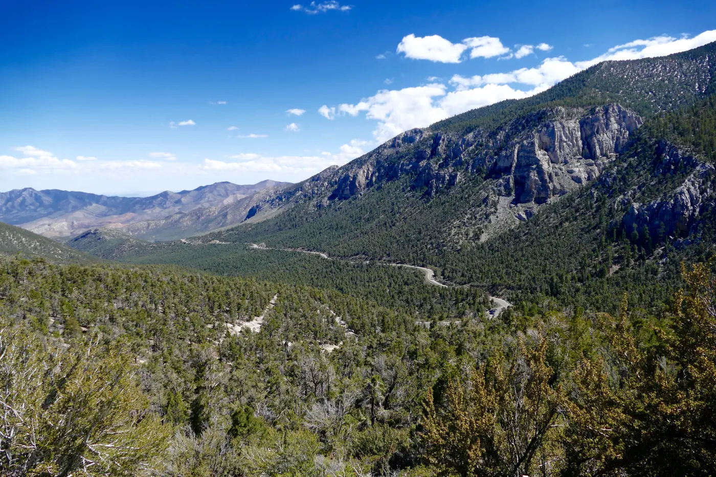
- An hour's drive north on U.S. 95 from energetic Las Vegas, this byway's elevation takes you from low to high.
- Access
- Tropical Storm Hilary damage closures remain in effect: Mary Jane Falls, Trail Canyon, Cathedral Rock Trail, Echo Road, Powerline Access Road, and Upper Bristlecone Trailhead and Trail closed indefinitely under a Forest Closure Order; Mack's Canyon Road reopened.
- Phone
- (702) 515-5400
- Website
- gomtcharleston.com
- Managed by
- GO Mt. Charleston (Sierra Forever partner).
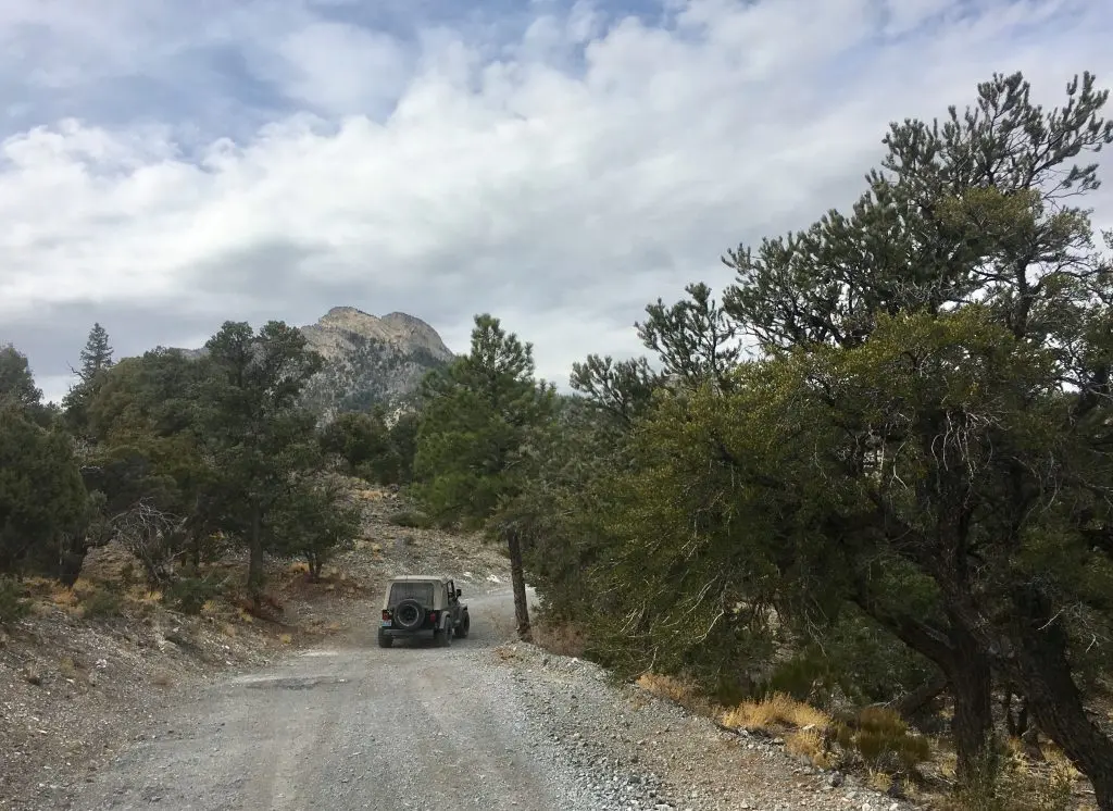
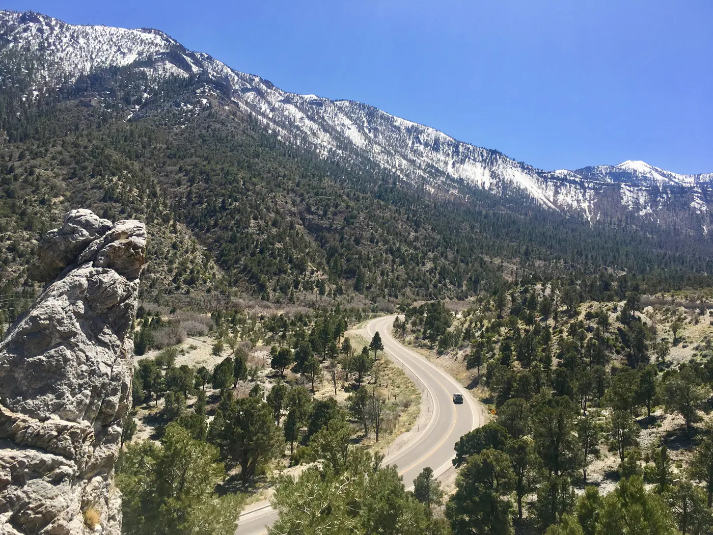
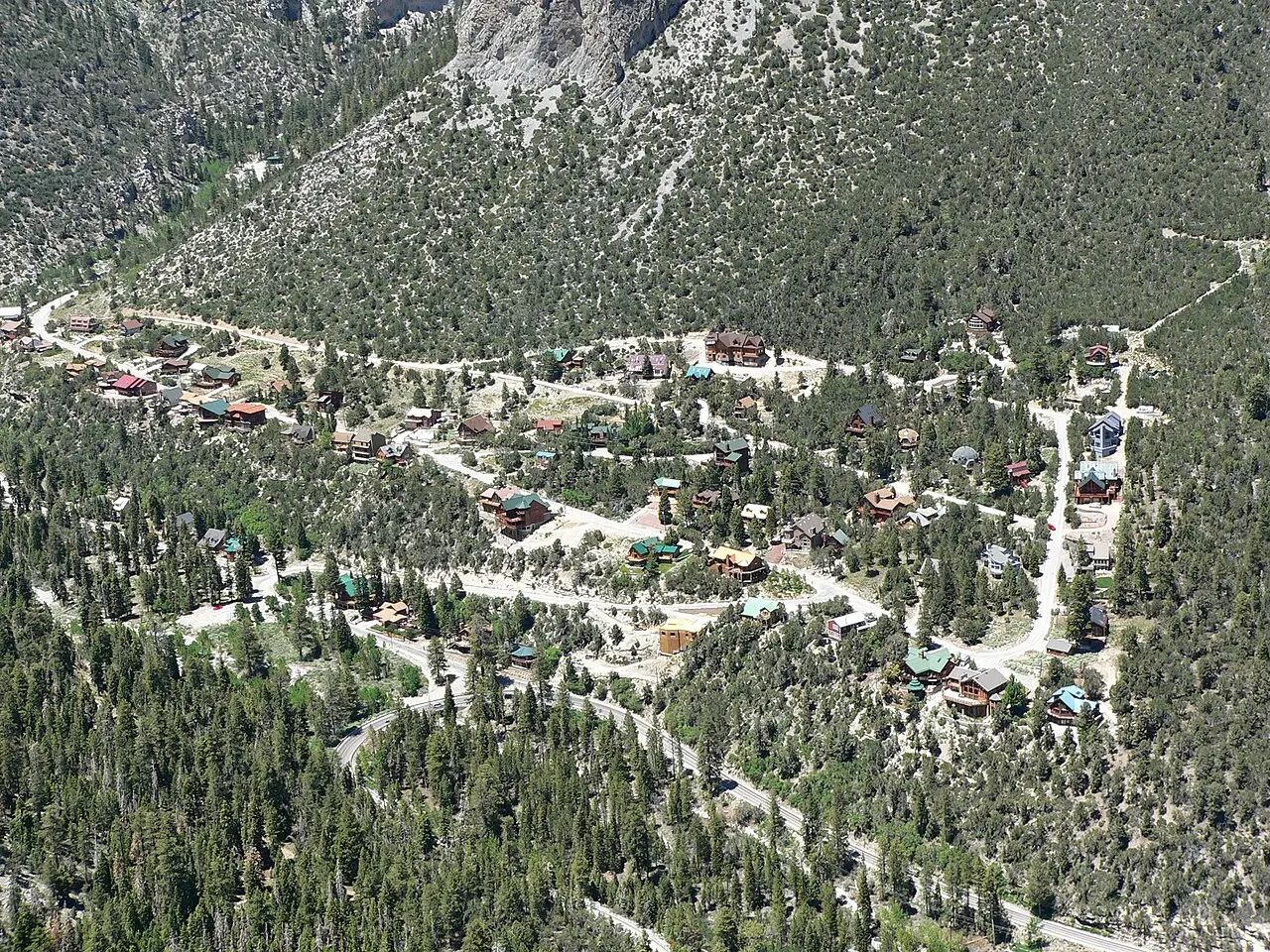
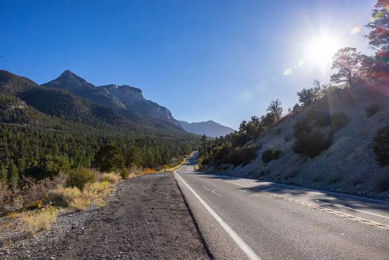
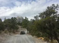
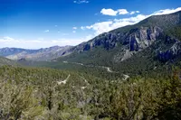
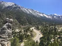
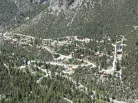
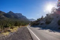
Thirty-six miles on three state routes - Lee Canyon Road (SR 156), a portion of Kyle Canyon Road (SR 157), and Deer Creek Road (SR 158) - link U.S. 95 with the majestic, 11,918-foot Mt. Charleston in the Spring Mountain Range.
Notable Events
- 1869A member of a U.S. Army Corps of Engineers survey party named the mountain for the member's hometown of Charleston, South Carolina. reviewjournal.com
- 1871A survey group that came through to map the area for railroads was led by 1st Lt. George Wheeler with 1st Lt. D.W. Lockwood and 2nd Lt. D.A. Lyle during the summer and fall of 1871. reviewjournal.com
- 1906President Theodore Roosevelt established the Charleston Forest Reserve under the authority of the Forest Reserve Act of 1891. wilderness.net
- 1989The Nevada Wilderness Protection Act designated 43,000 acres as wilderness. wilderness.net
- 1993The U.S. Congress established the Spring Mountains National Recreation Area, one of 19 National Recreation Areas in the United States. gomtcharleston.com
- 2002The Clark County Conservation of Public Land and Natural Resources Act designated 13,598 more acres. wilderness.net
People
- George Wheeler, 1st Lt. who led the survey group that mapped the area for railroads (summer and fall of 1871).
Sources
- travelnevada.com/tours-cruises/mt-charleston-scenic-byway
- fs.usda.gov/r04/recreation/geologic-wonders/scenic-byways-areas-and-overlooks
- nsbfoundation.com/sb/mt-charleston-lee-canyon-road-route-156
- gomtcharleston.com/plan-your-visit
- travelnevada.com/tours-cruises/mt-charleston-scenic-byway
- reviewjournal.com/uncategorized/mount-charleston-moniker-honors-city-in-south-carolina
- reviewjournal.com/local/local-columns/natalie-burt/leaves-creatures-and-history-mark-easy-mount-charleston-trail-2437460
- wilderness.net/visit-wilderness?ID=394
- gomtcharleston.com/smnra-more-than-a-backyard
- nsbfoundation.com/sb/mt-charleston-lee-canyon-road-route-156
- archives.gov/research/guide-fed-records/groups/095.html