Coronado Trail National Scenic Byway
Clifton, Greenlee County, Arizona. National Scenic Byway.
Details

- Where
- Clifton, Greenlee County, AZ. No street address stated. Directions
- Season
- Year-round; Fall, Spring, Winter, Summer each named in article.
- Getting there
- From Payson, go east on State Route 260 for 87 miles to U.S. Route 60. Turn left onto U.S. 60 and continue 49 miles to Springerville. From Springerville, go south on U.S. Route 191 for 120 miles to Clifton.
- Fees
- There are no fees along the road itself, but some campgrounds charge fees.
- Access
- Vehicle requirements: None, but there are several sharp curves and steep drop-offs along this narrow road — in some cases, there are no guardrails, and in some areas, speeds may slow to 10 mph.
- Phone
- 602-712-2200
- Website
- recreation.gov
- Managed by
- Arizona Department of Transportation.
- Established
- 2005.
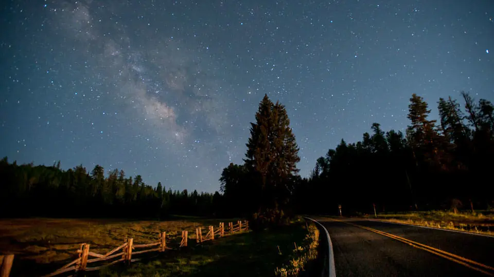
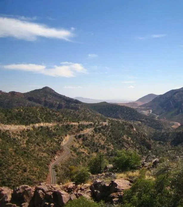
In Clifton the highway passes a historic train depot, goes through a rocky tunnel, and reaches an overlook of the open-pit copper mine in neighboring Morenci, which ADOT calls one of the world’s largest. From there U.S. 191 climbs north through the Apache-Sitgreaves National Forest to Alpine, Eagar and Springerville. The sources give different lengths. ADOT’s scenic-road list says 103 miles. Arizona Highways and an ADOT blog say 120. The federal byways site and Hannagan Meadow Lodge say 123. The federal site counts “over 400 switchbacks” and allows four to five hours of driving. ADOT calls it a three-hour trip, and Arizona Highways four. The road is narrow, with sharp curves and steep drop-offs. In places there is no guardrail, and in some stretches speeds drop to 10 mph. Traffic is light. ADOT writes that people camping or picnicking beside the road will rarely hear tires on pavement.
From the mine to the Rim
Recreation.gov places the start of the byway at the junction of U.S. 191 and Burro Alley in Morenci. The road out of Clifton has been moved before. On January 18, 1970, the New York Times reported that the first 20 miles north of Clifton were to be relocated to the east, “out of the deep and gloomy canyon that the highway now follows.” A man-made mountain of waste rock and slag from the Morenci pit was threatening to bury both the canyon and the road. Work had already begun north of town, and the new route was to be finished by late 1970.
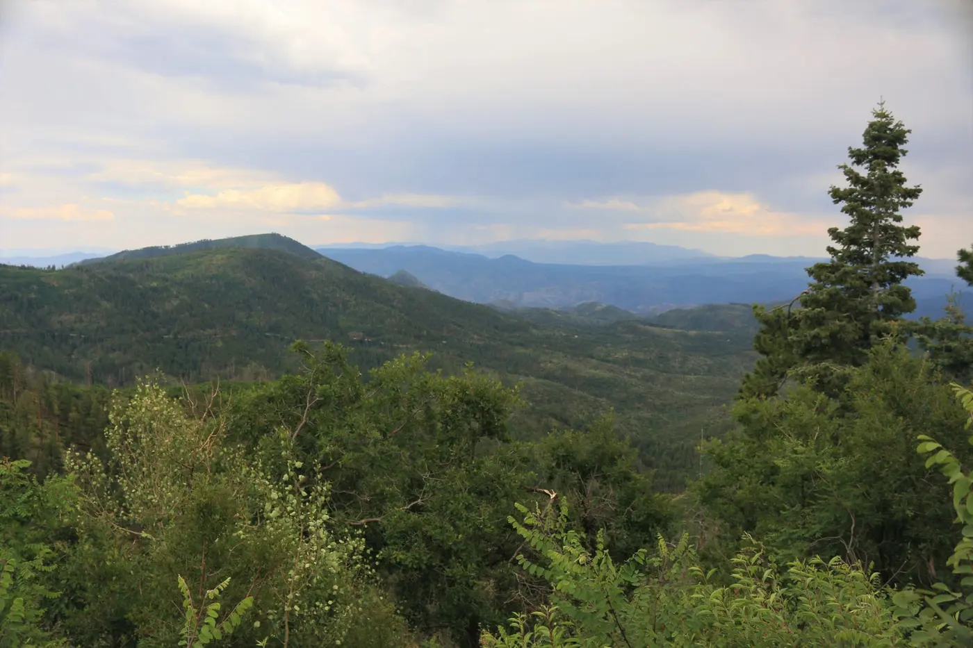
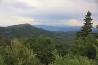
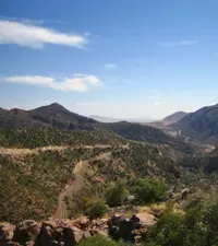
The Chase Creek Overlook, at milepost 176.5, shows the change from high desert and mined mountainsides to wooded ranges broken by rock formations. Chase Creek, which runs only part of the time, once flowed east into the San Francisco River. The mine cut off that course, and the creek was piped west through the Morenci Mine.
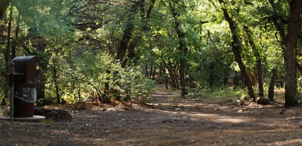
Near milepost 178 the Cherry Lodge Picnic Site sits on the west side of the road. It is named for the wild cherry trees that grow there. A lodge operated on the site from 1929, served Sunday dinners in the 1940s, and burned some years after. Across the highway, Granville Road leads to the first developed campground a northbound driver reaches. Behind it are the summer cabins of Granville. The settlement supplied timber to the mines below, and miners sent their families up to it in warm weather. At milepost 188, Eagle Creek Road (FR 217) drops west 15 miles to the Village of Eagle in Upper Eagle Creek Valley, settled by homesteaders in the mid-1800s. Its ranches inspired many paintings by the western artist Tim Cox, and a one-room schoolhouse stands off Eagle School Road.
Between mileposts 207 and 208, a Forest Service road climbs to the Rose Peak Lookout Tower at 8,700 feet. When the tower is staffed during fire season, visitors may be invited into its glass-enclosed room. Farther up is Sheep Saddle, also called Engineer Springs. The Greenlee County tourism association says it was the site of the Civilian Conservation Corps camp that housed the men who built the first 33 miles of the trail. In 1929 it was the site of a proposed sawmill. Near milepost 223 the Arrow Tree stands on a slope below the road. According to the county guide, local hunters seem to have started shooting arrows at it in the 1980s.
The Blue Vista Overlook, at milepost 225, sits on the edge of the Mogollon Rim and looks out in three directions. The U.S. Geological Survey describes the Rim as the eroded and dissected southwestern edge of the Colorado Plateau. For southbound drivers, Blue Vista is the last stop before the long descent to Clifton and Morenci.
Hannagan Meadow
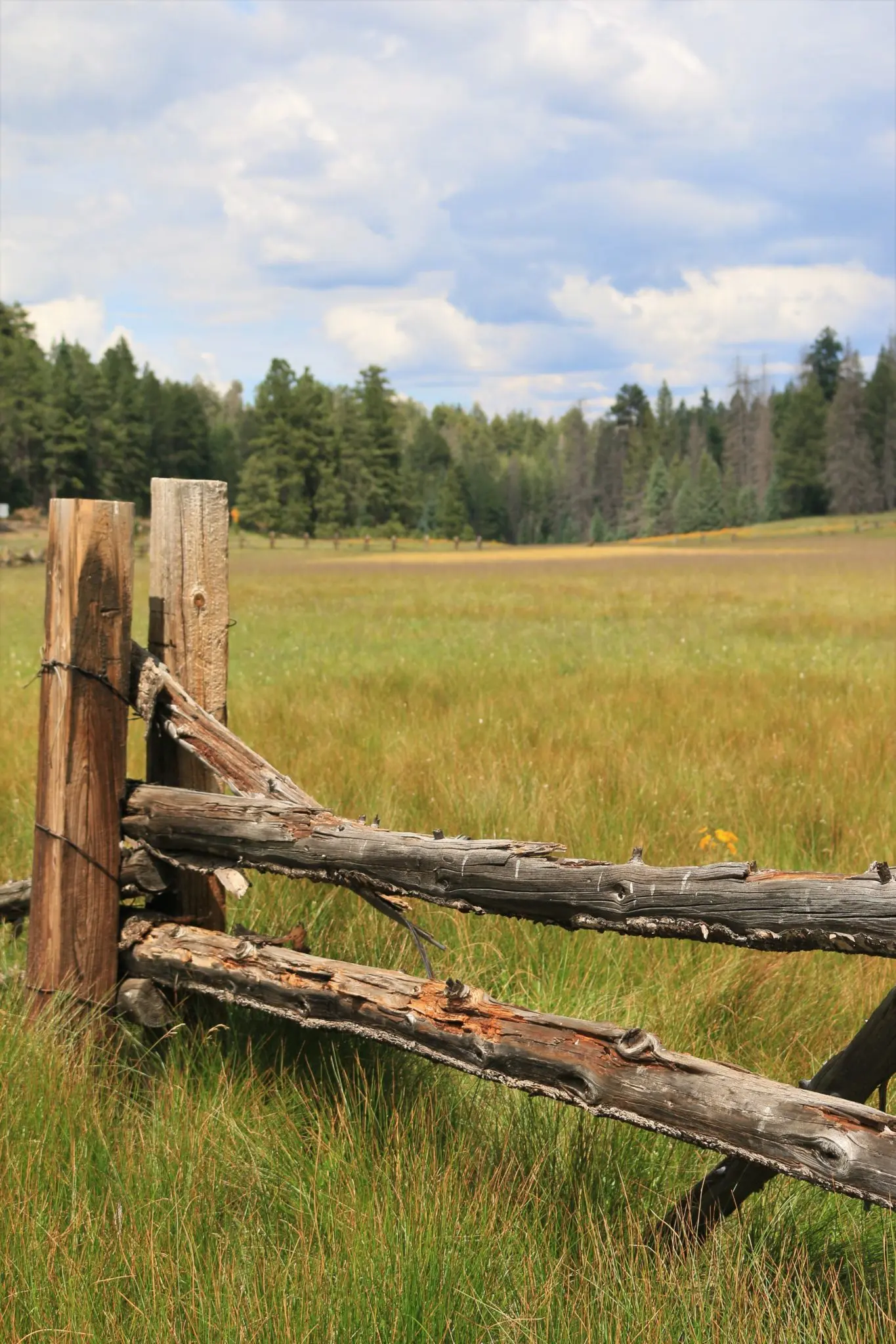
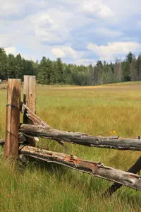
Above the Rim, the road runs past KP Cienega and Aker Lake, where anglers catch and release trout and grayling. It then reaches Hannagan Meadow. Hannagan Campground, at 9,100 feet, is among the highest campgrounds in Arizona and is shaded by spruce, fir and aspen. Hannagan Meadow Lodge is the only lodging on the route and stands alone in the Apache National Forest. The Blue Range Primitive Area lies around it, and the Black, Blue and San Francisco rivers run through that country. In winter the trails are used for cross-country skiing, snowshoeing, snowmobiling and sledding. Just south of the lodge, on the east side of the highway, stands a monument that Phelps Dodge cast in its Clifton smelter. It has a copper plate at the top and was unveiled in 1926.
The meadow takes its name from Robert Hannagan. A lodge history compiled by Tessa Waite says he was a Nevada miner in the Comstock years. In the 1890s he followed his son James to the Southwest and ran cattle branded XV between the Blue River and this meadow. Hannagan owed $1,200 to two ranching brothers and refused to pay. They stopped a stage he was riding, took him off, and chained him to a tree. They then sent word to James in Deming, who sent the money at once. The lodge’s website gives a shorter version: a bounced check, a tree in the meadow across from the present lodge, and several nights tied there. A second story came from Toles Cosper, father of the early lodge owner DeWitt Cosper. He said he and Hannagan came upon the meadow together and tossed a coin for the name, and Hannagan won. Later, others wanted to rename it Cosper Meadows, but Toles would not agree. Hannagan died in Deming early in the 20th century.
In 1909 Forest Supervisor John D. Guthrie scouted the future road and noted that “there was neither fence nor cabin at Hannagan Meadow.” A Forest Service packer, U.S. Casto, built a two-room ranger station there in the summer of 1912. In 1939 forest employees asked that it be kept as a historical cabin, but the Forest Service destroyed it in 1956. On April 6, 1918, Ben Lilly killed a grizzly near Hannagan Creek that was estimated at 900 pounds. It was the biggest grizzly ever recorded in the Southwest, and its hide and skull went to the Smithsonian.
The lodge began with a Forest Service permit issued in 1926 for a store to serve the road celebration. Permits for a service station, cabins and a restaurant followed, and the main building came shortly after. Guy McCafferty added the second and third floors in the late 1950s. Linda Thiel owned the lodge from 1981 to 1996. She cooked and ran the restaurant, and her friend Jim Thudin managed the place and cut the wood. The lodge keeps two stories of its own. One is of a former owner who locked up an empty building and then saw a woman at an upper window above the staircase, a window with no landing beneath it. The other is a John Wayne signature that some old-timers in Alpine swear is on the wall behind the sitting-room mantel. The hand-carved mantel now covers the spot.
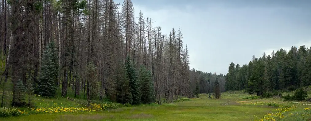
North of the meadow is Alpine, settled in the late 1870s. For southbound drivers it is the last place to buy fuel. Just before Alpine the road passes some of the worst damage from the Wallow Fire. Arizona Highways says the fire was started in 2011 by two campers from Tucson. It burned more than 550,000 acres, including most of Escudilla Mountain, and grasses and young aspens are now coming back in the burn. Elk, ospreys and golden eagles are seen at the Sipe White Mountain Wildlife Area. Beyond it the road crosses grasslands to Eagar and ends in Springerville. There Casa Malpais, a Mogollon Culture archaeological site, is listed among the byway’s points of interest.
Six fat steers and two bears
The road was surveyed beginning in 1916. On February 14, 1917, it became the first project ever authorized under Section 8 of the Federal Aid Road Act. Construction began in 1923. In Greenlee County the first section cost $4,200 a mile, with the federal government and the local community each paying half. The lodge history says a preliminary celebration apparently took place in 1924, perhaps to mark the first sixty miles from Clifton. At that gathering, the country singer Jimmie Rodgers is remembered as walking over from Alpine with his guitar and greeting Toles Cosper. The last gap, 17.610 miles north from Hannagan Meadow to the Apache County line, was built between November 1924 and June 15, 1926, at a cost of $103,600.
The dedication took place at the meadow on June 19 and 20, 1926. Clifton’s mayor, Peter Riley, chaired it. Ranger David S. Marks hired seven local men, mostly ranchers from Blue, Espero, Nutrioso and the Clifton area. Together they were paid $66.50 for 21 man-days of work and four days’ use of a team. Cleve Miller was commissioned to get the bears. The size of the crowd varies by source: ADOT estimates 5,000, the lodge history says more than 5,000, and the lodge website says about 6,000. Elsie Hamblin of Springerville remembered traveling all day to get there, and dancing. ADOT describes the meadow as a dusty campground ringed with horses, early Chevrolets, Model T’s and an Essex coupe. Governor George W.P. Hunt spoke in his white linen suit. He and Governor Hannett of New Mexico slept in the old ranger station.
The Arizona Republican reported that “six fat steers and two bears have been barbequed for the occasion and the meat is expected to be sufficient for the crowd present.” There was also a rodeo, a band concert, religious services and a dance. About 125 White Mountain Apaches, accompanied by their chief, Al-Cha-Se, performed the devil dance from sundown on June 19 to sunrise the next day. The lodge history calls it the largest gathering of dancers since the end of the Apache Wars more than 40 years earlier. George B. Gamble brought an inlaid gold sword engraved with a Roman cross. He and Joe Place had found it in 1914. It was identified as 16th-century Spanish, was believed to have belonged to Coronado, and was promoted as “the most valuable relic in Arizona today.”
The sources disagree on who named the road. The lodge history says the keynote speaker, Apache National Forest Supervisor John Guthrie, called it the “Trail of Coronado,” and the shorter title soon caught on. The lodge website gives the credit to Hunt. They also disagree on whether Coronado came this way. Arizona Highways says the road follows his 1540 route to the Seven Cities of Cibola. ADOT says some historians believe he roughly followed it. The lodge history says historians doubt he crossed this rocky, waterless ground and think he more likely followed the Blue or San Francisco rivers in June 1540. One of his soldiers, Pedro de Castaneda, recorded what he saw in the country: tall pines, wild rosebushes, fish, watercress, wildflowers, grey lions and leopards.
A second picnic was held on June 18 and 19, 1927, and it was the last. Afterward the State Board of Health strongly protested the unsanitary conditions that several thousand people had left behind, and the annual celebration ended.
Forest Highway 19 to U.S. 191
The Arizona Gazette called the new road a “most splendid highway” and a “summer tourist attraction worth millions of dollars to Arizona, all a credit to good roads.” In fact it was a one-lane dirt road with steep grades and rocky outcrops. As late as 1937 it took a full day to drive from Clifton to Springerville. Arizona Highways and the lodge website describe the early trip as taking two days. McCafferty recalled that “most of it was so narrow that traffic meeting head-on had to compromise and back up to an area wide enough to pass.”
The road was dedicated as Forest Highway 19. In June 1928 the right-of-way passed to the state, and the road became Arizona Route 81. In the late 1930s it became U.S. 666, after the Canada-to-Mexico Highway Association pushed for a north-south federal highway. Also in the 1930s, the state moved the road from the east side of Rose Peak to the west side, where it runs today. Paving began in sections in the 1940s. On October 4, 1962, Governor Paul Fannin rededicated the road near Hannagan Meadow. It was now fully paved and kept open year-round for tourist and logging traffic. In 1969 a tired tourist was heard to say as he got out of his car, “My God! They ought to take that road off the highway maps.”
The number earned the road the nickname Devil’s Highway. In 1990 USA Today quoted a state trooper who remembered a drunken-driving suspect telling him, “Triple 6 is evil. Everyone dies on that highway.” In 1995 the Wall Street Journal ran the headline “Beast of a Highway: Does Asphalt Stretch Have Biblical Curse?” The Forest Service had designated the road the Coronado Trail Scenic Byway on August 31, 1988. In 1992 the number was changed to U.S. 191, and in 2005 the road was named a National Scenic Byway for its scenic quality.
Notable Events
- 1540Coronado searched for gold and the mythical Seven Cities of Cibola; ADOT says some historians believe his expedition roughly followed the later highway route. azdot.gov
- 1916The road was surveyed beginning in 1916. irp.cdn-website.com
- 1917This became the first project ever authorized under Section 8 of the Federal Aid Road Act of July 11, 1916. irp.cdn-website.com
- 1923The road was started in 1923 and completed in 1926. irp.cdn-website.com
- 1924A preliminary celebration was apparently held in 1924; this may have celebrated completion of the first sixty miles from Clifton, complete by July 24, 1924. irp.cdn-website.com
- 1924The 17.610-mile gap north from Hannagan Meadow to the Apache County line was constructed for $103,600. irp.cdn-website.com
- 1926Forest Highway 19 was dedicated at Hannagan Meadow as the Coronado Trail and Clifton-to-Springerville Highway. azdot.gov
- 1927The picnic took place June 18 and 19, 1927, and was the last one. irp.cdn-website.com
- 1928The Arizona Highway Department took control and renamed the road Arizona Route 81. azdot.gov
- 1928The State Board of Health strongly protested unsanitary conditions left by several thousand people after the 1927 event. irp.cdn-website.com
- 1930The state moved the road from the east side to the west side of Rose Peak, to its present alignment. irp.cdn-website.com
- 1930sIt became U.S. Route #666 after the Canada-to-Mexico Highway Association urged designation of a north-south federal highway. irp.cdn-website.com
- 1940sPortions of the road began to be paved. azdot.gov
- 1962The highway was completely paved and Governor Paul Fannin rededicated it at Hannagan Meadow. azdot.gov
- 1970Work had already begun north of Clifton and the route was to be completed by late 1970; this is a projection, not a confirmed completion. nytimes.com
- 1988U.S. Route #666 was designated Coronado Trail Scenic Byway by the Forest Service. irp.cdn-website.com
- 1992U.S. 666, nicknamed the Devil's Highway, was renamed U.S. 191. azdot.gov
- 1992The federal highway number changed from U.S. #666 to U.S. #191. irp.cdn-website.com
- 2005The Coronado Trail received National Scenic Byway designation for its scenic quality. nsbfoundation.com
- 2011The Wallow Fire, started by two campers, burned more than 550,000 acres, including most of Escudilla Mountain. arizonahighways.com
- The road was renumbered U.S. Route 666 after lobbying for a north-south transcontinental highway. azdot.gov
People
- Robert Hannagan, Nevada miner and cattle rancher for whom Hannagan Meadow was named.
- Francisco Vasquez de Coronado, Spanish explorer whose expedition some historians believe roughly followed the route later bearing his name (1540).
- George W.P. Hunt, Arizona governor who spoke at the Coronado Trail dedication (1926).
- Lynn Ruger, Chronicled the Coronado Trail dedication ceremony for the Forest Service.
- Paul Fannin, Governor who rededicated the paved road near Hannagan Meadow (October 4, 1962).
- A.S. Gibbons, Apache County judge and prominent speaker at the dedication.
- Al-Cha-Se, Chief accompanying Apache performers at the dedication celebration.
- Charles R. Davis, Fort Apache Indian agency representative and prominent dedication speaker.
- Cleve Miller, Commissioned to obtain bears for the dedication barbecue.
- D.D. Maness, Clifton-area man hired for celebration preparations.
- David S. Marks, Ranger who hired local men to prepare for the celebration.
- Don Francisco Vasquez de Coronado, Historians believe it doubtful that he traveled the current trail's rocky and waterless terrain (1510-1554).
- Ellis Moore, Clifton-area man hired for celebration preparations.
- Elsie Hamblin, Springerville resident who recalled traveling all day to the dedication and dancing.
- F.O. Howell, Local man from Blue hired for celebration preparations.
- Fray Marcos de Niza, Franciscan friar described as leading Coronado's procession into Clifton.
- G.H. Thompson, Nutrioso man hired for celebration preparations.
- George (W.P.) Hunt, Governor addressing the road dedication celebration.
- George B. Gamble, Brought the sword found with Joe Place in 1914 to the dedication.
- Governor Hannett, New Mexico governor listed among dedication speakers.
- J.H. Jones, Local man from Blue hired for celebration preparations.
- Jane H. Rider, State Board of Health witness of unsanitary conditions after the 1927 celebration.
- Jimmie Rodgers, Popular country singer remembered as walking from Alpine with his guitar to the apparent preliminary celebration.
- Joe Place, Found the sword with George B. Gamble in 1914; it was exhibited at the dedication.
- John D. Guthrie, Forest Supervisor doing reconnaissance for the future Coronado Trail route (1909).
- John Guthrie, Apache National Forest supervisor and dedication keynote speaker who referred to the highway as Trail of Coronado.
- Joseph P. Hodgson, Phelps Dodge captain from Morenci and prominent speaker at the dedication.
- Norman A. Josh, Local man from Espero hired for celebration preparations.
- Pedro de Castaneda, Soldier whose journal noted natural features of the area traversed by Coronado.
- Peter Riley, Clifton mayor, dedication chairman, long-time road supporter and civic booster.
- S.F. Jones, Local man from Blue hired for celebration preparations.
- Toles Cosper, Pioneer on the Blue River whom Jimmie Rodgers greeted at the recalled preliminary celebration.
Sources
- arizonahighways.com/coronado-trail
- azdot.gov/about/historic-and-scenic-roads/list-scenic-roads
- fhwaapps.fhwa.dot.gov/bywaysp/byway/2059
- visitgreenleecounty.com/all-posts/coronado-trail-national-scenic-byway
- nsbfoundation.com/nb/coronado-trail-national-scenic-byway
- azdot.gov/adot-blog/coronado-trail-leads-arizonas-heavenly-high-country
- recreation.gov/gateways/13619
- irp.cdn-website.com/888e7459/files/uploaded/Hannagan-Meadow-Lodge-History.pdf
- hannaganmeadow.com/history-of-the-lodge
- nytimes.com/1970/01/18/archives/a-manmade-mountain-moves-arizona-highway.html
- hannaganmeadow.com/scenic-roadway
- azdot.gov/sites/default/files/2019/05/cmp_coronado_trail.pdf
- arizonahighways.com/coronado-trail
- nsbfoundation.com/nb/coronado-trail-national-scenic-byway
- pubs.usgs.gov/fs/0159-00/report.pdf