Cloud Peak Skyway
Buffalo, Johnson County, Wyoming. Paved scenic drive.
Details

- Where
- Buffalo, Johnson County, WY. No street address stated. Directions
- Getting there
- The designated byway is a 47-mile section of US 16 running through the Bighorn National Forest between the towns of Tensleep and Buffalo.
- Access
- Gravel alternatives at Elgin Park (3 miles) and Pole Creek Road (11 miles) do not require four-wheel drive.
- Phone
- 307-684-7806
- Website
- recreation.gov
- Managed by
- Department of Transportation.
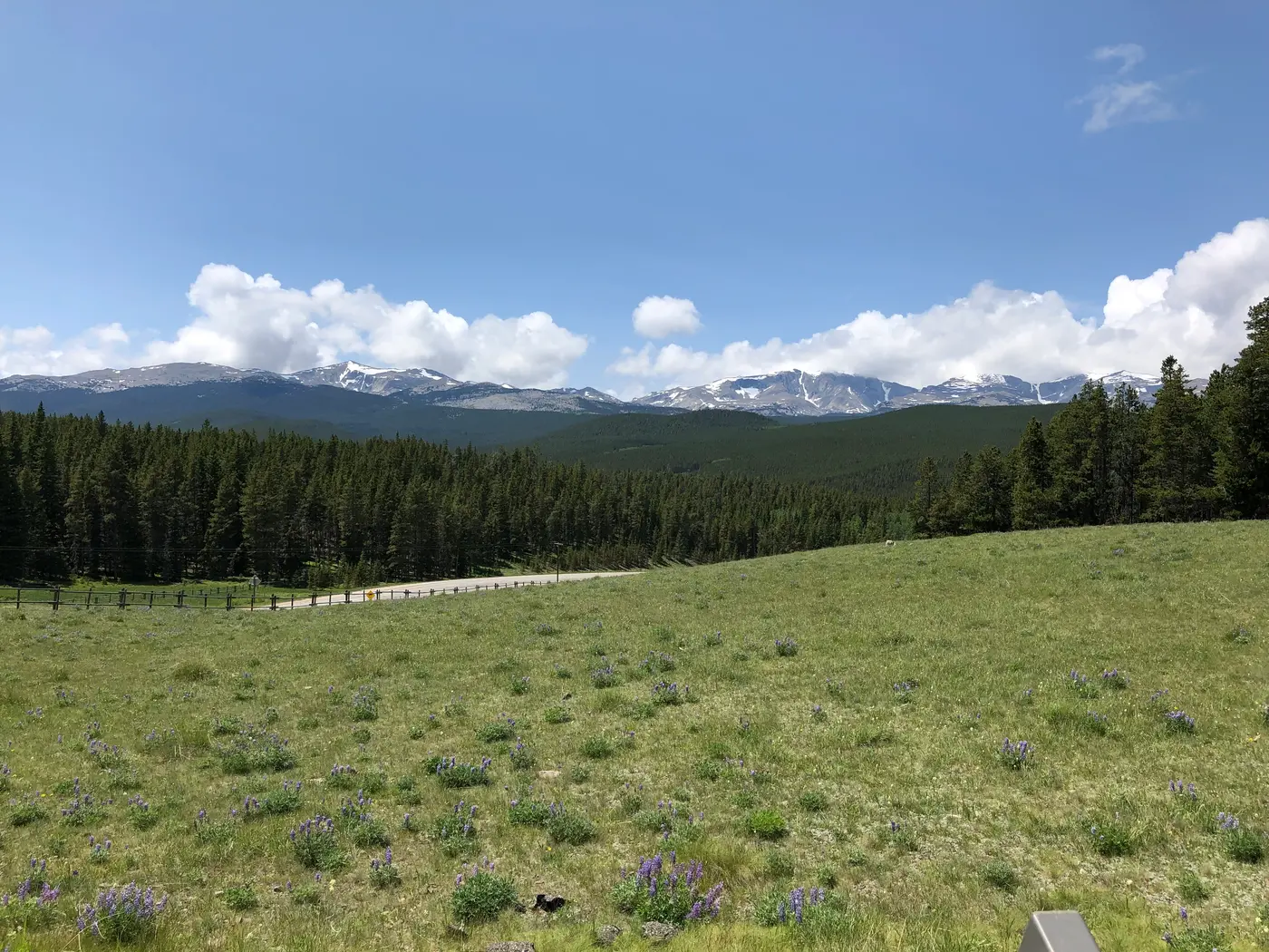
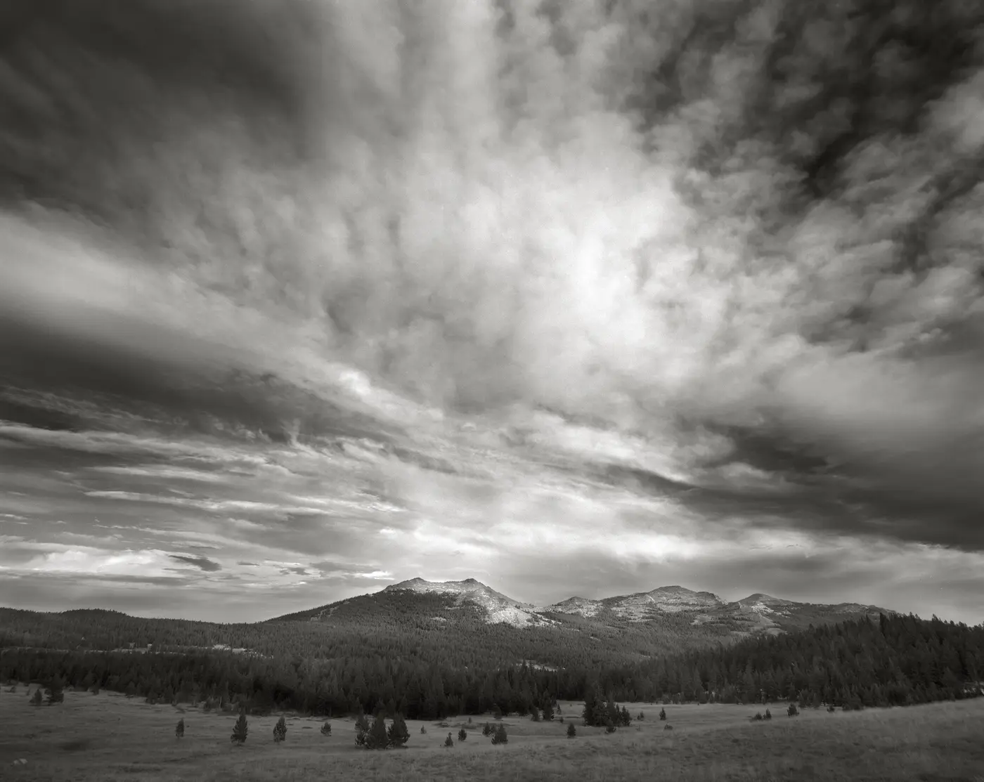
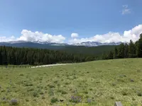
At the top of Powder River Pass, 9,666 feet up, a parking area lets drivers on U.S. 16 stop and look out across the Bighorn Mountains. This stretch of highway between Buffalo and Ten Sleep is the Cloud Peak Skyway. Recreation.gov says it gives the only view of Cloud Peak, the highest summit in the range, along with the Cloud Peak Wilderness around it. Numerous turnouts break the climb. The Forest Service warns of steep grades and sharp turns, and of wildlife crossing without warning, especially in early morning, in the evening, and at night. It also asks drivers to pull completely off the road when they stop. Deer, elk, and moose are not uncommon sightings.
Over Powder River Pass
The sources measure the road differently. The designated byway is a 47-mile section of U.S. 16 through the Bighorn National Forest. The Forest Service’s wildflower page puts the forest boundary 13 miles west of Buffalo and counts 45 miles from there before the highway drops through Tensleep Canyon into town. Recreation.gov calls the whole paved drive 64 miles, from Buffalo over the pass and down the canyon to Ten Sleep and Worland. It also says the route has the least grade of any crossing of the Big Horns. The state carries the road in its Wyoming Scenic Byways and Backways Program. It is one of three byways that cross the Bighorn National Forest.
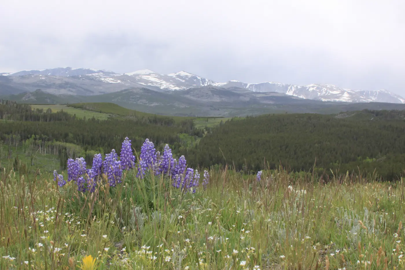
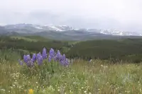
Hospital Hill Interpretive Site sits just inside the forest boundary. Beyond it the road runs through open mountain meadows that flower in June and July, in colors the Forest Service lists from reds to blues and purples to whites. Pullouts serve flower watchers as well as sightseers. Forest Service rental cabins stand among the meadows and can be rented throughout the year. One of them, the Muddy Guard Cabin, is off Highway 16.
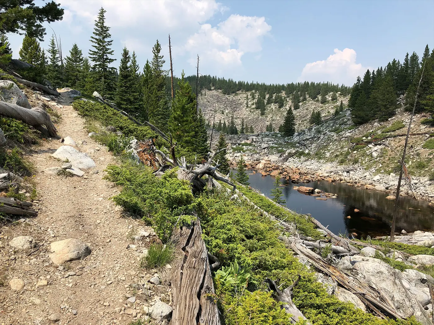
Side roads leave the highway for the backcountry: Crazy Woman Canyon on Forest System Road 33, Hazelton on County Road 3, and West Tensleep Road on Forest System Road 27. Two gravel alternatives, Elgin Park at 3 miles and Pole Creek Road at 11, need no four-wheel drive and rejoin Route 16 farther along. Elgin Park Trailhead has some horse camping amenities. The Forest Service says the region is known for wilderness access, horseback riding, and fishing. Recreation.gov finds the road’s real character in the mixed use of the land around it: sheep grazing, fire management, wildlife, recreation, and wilderness.
Meadowlark Lake and a plaque from September 1937
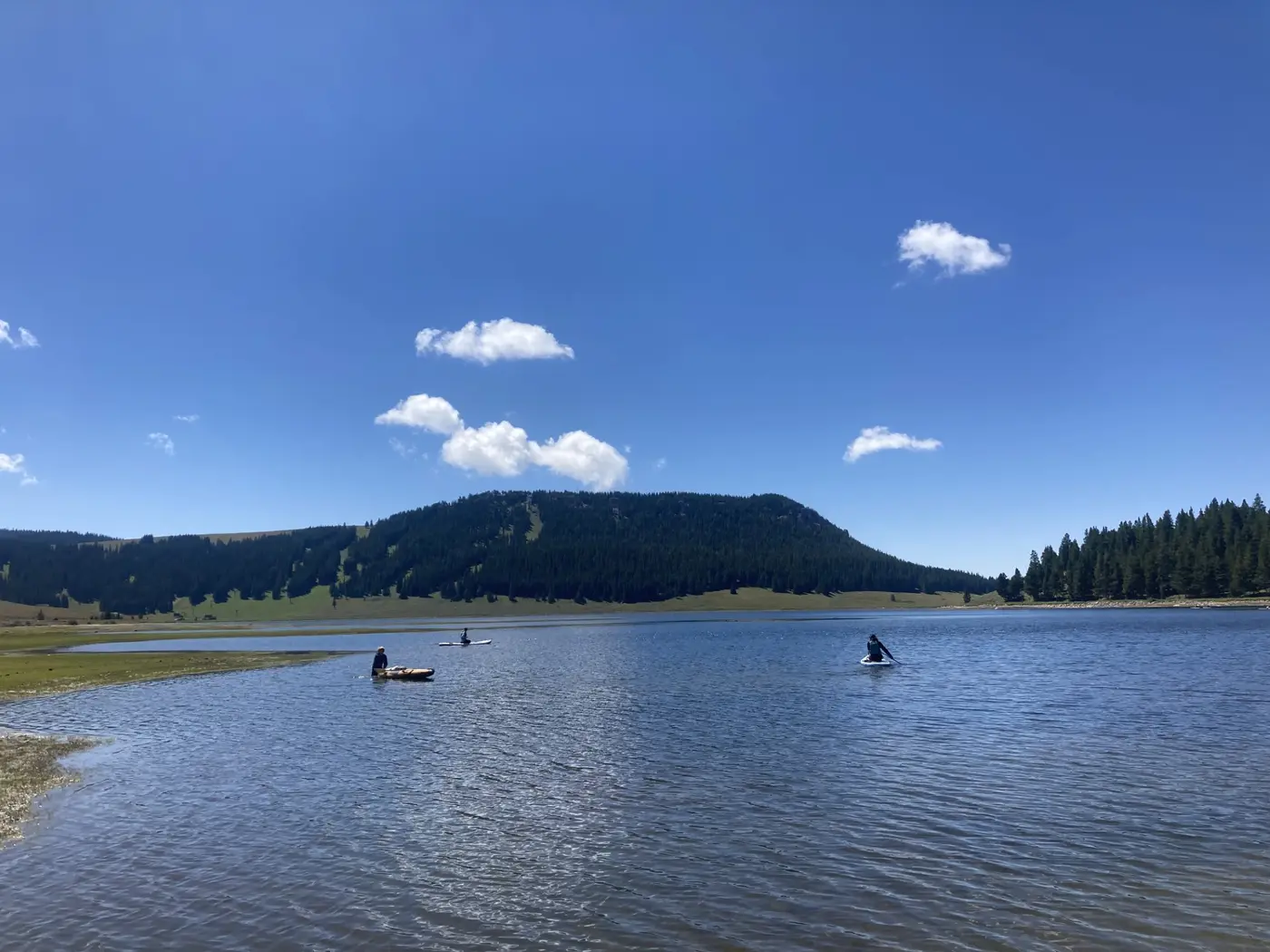
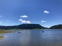
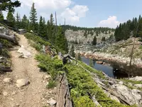
At one overlook, near Bull Creek Campground and Wyoming Highway 426, the water below is Meadowlark Lake. A Forest Service marker says Company 841 of the Civilian Conservation Corps built the dam that made the lake in 1936. Between April 1934 and 1942, the marker adds, the Corps built campgrounds, roads, bridges, dams, trails, ranger stations, and fire lookouts, fought fires, and planted trees. Lake View Campground lies on the north shore. Lake Point Picnic Ground sits above the water, with short, steep trails down to the lake for fishing.
A second memorial stands at the same overlook. Company 1811, CCC Camp F-35-W, Tensleep, erected it in September 1937, “Dedicated to the men trapped in Shoshone Forest Fire August 21, 1937.” Under “Died in Line of Duty” it names two foremen, James A. Saban and Paul B. Tyrrell, and ten enrollees. Under “Burned in Line of Duty” follow thirty-two more names, among them Woodrow Duty, Juan Gomez, Havel Zaskoda, and Joe Zavala. Elsewhere in the forest stands the James T Saban Lookout, formerly the High Park Lookout. The Forest Service says it was renamed for James Torrey Saban, who died in the line of duty in 1937 while fighting the Blackwater fire.
The turnout at milepost 36
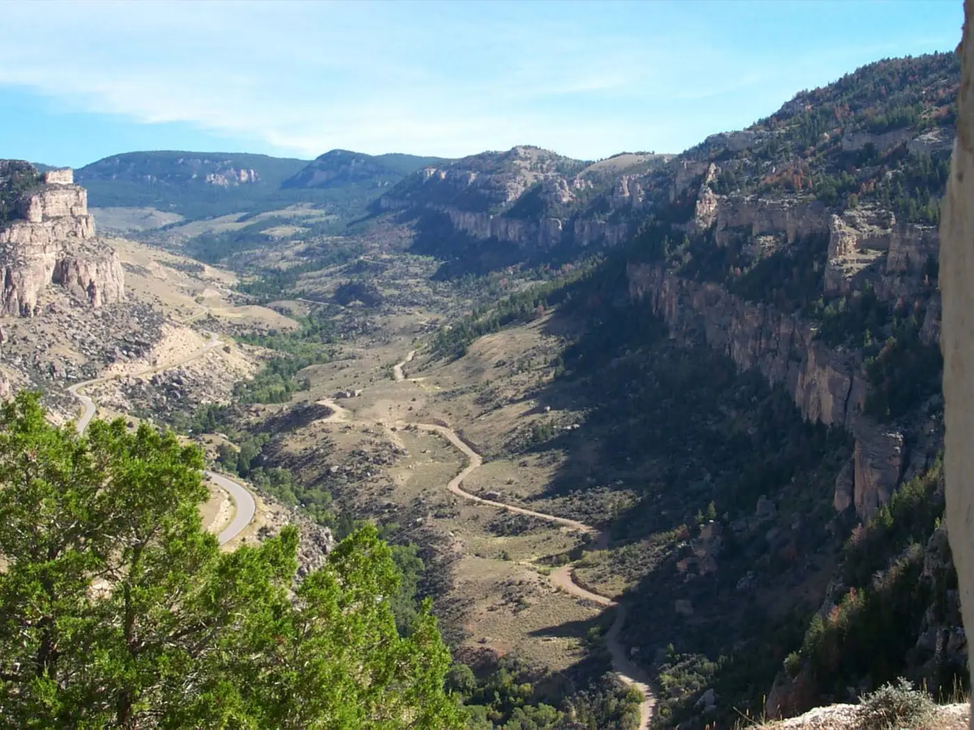
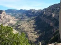
About seven miles from the lake overlook as the crow flies, a turnout at milepost 36 on U.S. 16 holds two markers above Tensleep Canyon. The Forest Service’s marker explains the walls. The land that became the Bighorn Mountains began rising about 75 million years ago and reached nearly 20,000 feet. Since then wind, water, and ice have removed thousands of feet of rock. The canyon cliffs are mostly massive layers of limestone; Recreation.gov adds dolomite. The same limestone runs under Ten Sleep and Worland, and deep wells draw the towns’ water from it.
Glaciers carved the canyon within the last 250,000 years. They left the U-shaped valley floor and piles of boulders along West Tensleep Creek. The West Moraine stretches 10 miles, which the marker calls the longest moraine in the Big Horn Mountains. The creek is still cutting the rock, and in winter ice flows hang on the canyon walls. Lower down, Boulder Park Campground sits along Tensleep Creek, a trout stream. Island Park Campground lies on West Tensleep Creek off Road 27, about five miles from the West Tensleep Lake Trailhead. Most of these campgrounds are gated after the season closes. A few sites at Doyle Campground stay open to self-supported camping while the weather allows.
The second marker tells of Gilbert E. Leigh, an English nobleman and lifelong big game hunter. He went missing in the fall of 1884 during a hunting expedition. Local men searched for a week. When they found his body, they learned he had fallen 100 feet over the canyon wall while chasing mountain sheep. Leigh was buried in Stoneleigh, England. In 1889 Robert Steward, a Sheridan-area guide, built the Leigh Creek Monument at the canyon rim. It is native stone laid in dry mortar, about ten feet square at the base, set with an inscribed marble slab. The contributor who recorded the marker in 2016 noted that the stone monument itself is difficult to reach.
Posts banded black and yellow
The road began with a plan to reach Yellowstone by car. In February 1912, delegates from more than 40 towns in South Dakota and Wyoming met in Deadwood, South Dakota. There they formed the Chicago, Black Hills and Yellowstone Park Highway Association. Its road soon became known as the Black and Yellow Trail. The name stood for the Black Hills and Yellowstone National Park, and also for the black- and yellow-banded posts that would mark the way.
A good-roads convention in Buffalo in June 1912 laid out the Wyoming route: Buffalo, Ten Sleep, Worland, Basin, Greybull, Cody, and the park’s East Entrance. Many delegates doubted an auto road could cross the Bighorns. To prove it could, Anson Higby, a Basin businessman, drove to the convention over the range in an old Studebaker. He followed established logging and mining roads and old mail routes. In 1913 the association voted to mark key points with black- and yellow-striped posts. Yellowstone opened its East Entrance to automobiles in 1916, and roads leading to it gained new urgency.
The mountain crossing was the hardest piece of the trail. Until about 1917, construction there was paid for by the Forest Service rather than by counties. In 1915 August Hettinger of the Bighorn National Forest’s Buffalo District offered $15,000. That summer crews began a two-mile stretch in Mosier Gulch west of Buffalo and finished it by October. A $10,000 survey of the forest road from Buffalo to Ten Sleep was completed in 1917. In 1918, $20,000 built five miles of the 75-mile roadway. A cooperative agreement between Wyoming and the Secretary of Agriculture in May 1919 let the Forest Service build the Buffalo-Sourdough Section, at an estimated $105,000.
In 1920 the Gillette News Journal printed a poem by Mrs. C. L. Benson: “Come brother, let us ramble / O’er the Black and Yellow Trail.” By September 1922 the entire Buffalo-Ten Sleep Road was done. It was a graded gravel road built with horse-drawn equipment, Caterpillar trucks, graders, and dump trucks. Two projects begun in the mid-1930s laid a 2½-inch oil mat over a 3½-inch gravel base between Buffalo and Ten Sleep, and the work was finished by September 1940. In 1946 the first five miles up Mosier Gulch, where the 1915 crews had started, were rebuilt with lower grades, gentler curves, and a wider surface, then paved with a heavy asphalt mat.
Notable Events
- 1884English nobleman Gilbert E. Leigh went missing in the fall of 1884 during a hunting expedition and was found dead below the canyon wall. hmdb.org
- 1889The Leigh Creek Monument was erected at the rim above Tensleep Canyon in 1889 in memory of Gilbert E. Leigh. hmdb.org
- 1912A good-roads convention in Buffalo in June 1912 laid out the highway's route through Wyoming, including Buffalo, Ten Sleep and Worland. wyohistory.org
- 1915August Hettinger of the Bighorn National Forest offered $15,000 and work began that summer on a two-mile stretch in Mosier Gulch west of Buffalo, completed by October. wyohistory.org
- 1917A $10,000 survey was completed for the forest road from Buffalo to Ten Sleep; in 1918, $20,000 built five miles of the 75-mile roadway. wyohistory.org
- 1919A cooperative agreement between Wyoming and the Secretary of Agriculture enabled the Forest Service to build the Buffalo-Sourdough Section at an estimated $105,000. wyohistory.org
- 1922The entire Buffalo-Ten Sleep Road was completed by September 1922, a graded gravel road built with horse-drawn equipment, Caterpillar trucks, graders and dump trucks. wyohistory.org
- 1936Company 841 of the Civilian Conservation Corps constructed the dam that created Meadowlark Lake, now a recreation area along the byway. hmdb.org
- 1940Two highway projects begun in the mid-1930s laid a 2-1/2-inch oil mat over a 3-1/2-inch gravel base between Buffalo and Ten Sleep, completed by September 1940. wyohistory.org
- 1946In 1946 the first five miles up Mosier Gulch were reconstructed with reduced grades, gentler curves and a wider surface, and paved with a heavy asphalt mat. wyohistory.org
People
- Gilbert E. Leigh, English nobleman memorialized by the Leigh Creek Monument above Tensleep Canyon (1884).
- Robert Steward, Sheridan area guide who erected the Leigh Creek Monument.
- Anson Higby, Basin businessman and 1912 convention delegate who drove across the Bighorns in an old Studebaker to prove an auto road could cross the range (1912).
- August Hettinger, of the Buffalo District of the Bighorn National Forest; offered $15,000 to build the first forest portion of the road (1915).
Sources
- travelwyoming.com/places-to-go/destinations/scenic-byways
- fs.usda.gov/r02/bighorn/recreation/opportunities/scenic-drives
- fs.usda.gov/r02/bighorn/recreation/cloud-peak-skyway-recreation-region
- fs.usda.gov/wildflowers/regions/Rocky_Mountain/CloudPeak/index.shtml
- recreation.gov/gateways/13609
- wyohistory.org/encyclopedia/let-us-ramble-exploring-black-and-yellow-trail-wyoming