Bitter Springs Back Country Byway
Overton, Clark County, Nevada. Back Country Byway (BLM Type II); Accessible year-round.
Details
- Where
- Las Vegas, Overton, NV 89130. Directions
- Getting there
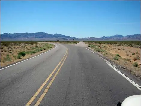
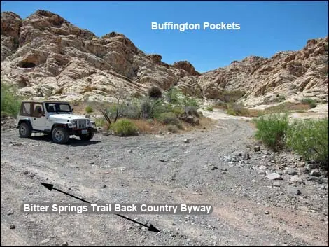
- From Las Vegas, drive north on Interstate 15 for 33 miles to Exit 75E, the Valley of Fire State Park exit; turn right, pass the Indian Smoke Shop, and drive east on Highway 169 for about 3.2 miles total; when the highway bends hard to the left, continue straight onto Bitter Springs Trail Back Country Byway.
- Fees
- No.
- Access
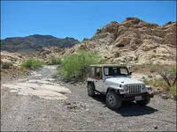
- 4WD high-clearance vehicles; only street-legal vehicles within the National Park boundary, which begins a mile before the trail connects with Northshore Rd.
- Phone
- (702) 515-5000
- Managed by
- Bureau of Land Management - Las Vegas Field Office.
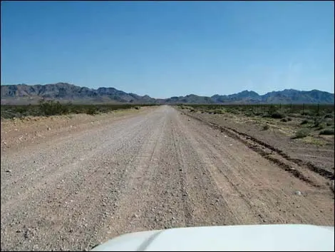
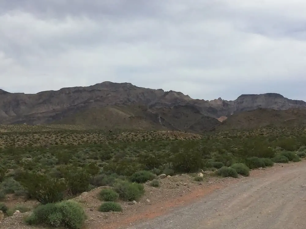
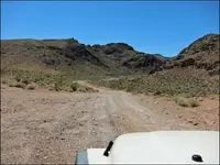
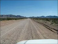
Thirty-three miles north of Las Vegas, Interstate 15 meets the Valley of Fire exit. Highway 169 runs east from there past the Indian Smoke Shop, and about 3.2 miles on it bends hard to the left. A road goes straight ahead instead. It is paved for a few yards and then turns to graded dirt aimed southeast at the dark Muddy Mountains. This is the Bitter Springs Back Country Byway, a Type II byway of the Bureau of Land Management’s Las Vegas Field Office. It runs through the desert foothills to Northshore Road in Lake Mead National Recreation Area and charges no fee.
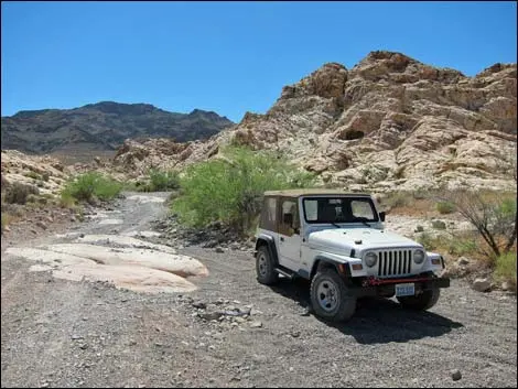
Sources disagree on its length. The BLM gives 28 miles and says to allow two to four hours. A mile-by-mile road log on the Backroads Around Las Vegas site measures 27 miles. Margo Bartlett Pesek, writing her Trip of the Week column in the Las Vegas Review-Journal in 2010, called it 30. The BLM requires high-clearance vehicles and recommends four-wheel drive. The road is open all year, but Pesek advised the cooler months, “and never on a rainy day because of flooding danger.” A guide to the quarry country along the route says summer is too hot.
From the bend in 169 to Buffington Pockets
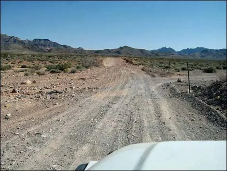
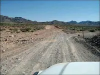
The first miles run straight and mostly level, and the surface is badly washboarded. Pesek wrote that drivers end up choosing the smoothest line, “often the shoulders of the road,” and the road log notes that people have worn a parallel track along the south side. At 0.6 mile the byway crosses a road once used for off-road races, with a parking area and information signs. Pesek placed an older crossing about a mile out: part of the Old Spanish Trail, later called the Mormon Trail, which brought explorers, mountain men, traders and pioneers into Southern Nevada. It was “waterless for 60 miles until it reached the springs at Las Vegas,” she wrote, and it wore down travelers, livestock and equipment. Travel Nevada says the path was forged by Spanish explorers in 1776 and later used by settlers heading west.
At 4.1 miles a signed road turns right to Color Rock Quarry, named for nearby Colorock Peak. Someone in the twentieth century opened a short-lived quarry there in the Aztec sandstone. What remains is an abandoned stone cabin, some concrete foundations from buildings long gone, and several partially sawed stones. The rock around them is banded purple, pink and red. The American Southwest guide attributes the stripes to alteration bands colored by iron compounds, among them haematite and goethite. The same guide reports many small arches and a few faint petroglyph panels, one of them showing a bighorn sheep. Low cars may have to stop at the byway junction, as much as 3.4 miles short of the cabin. The BLM puts the Hidden Valley trailhead about three miles beyond the turn.
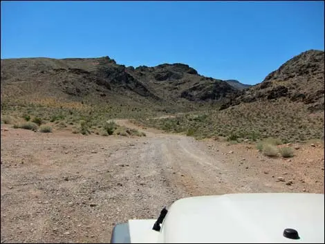
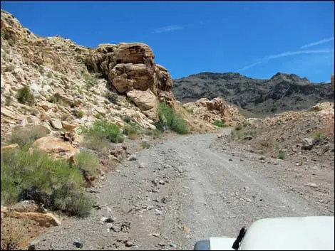
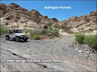
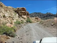
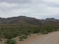
Past 5.1 miles the byway reaches the mountains. It drops into a wash, crosses it, and follows the wash up a canyon where the road runs in the streambed and can be washed out and rocky. At 5.8 miles a side road leads to a traditional camping area against the cliffs. At 6.0 miles a short spur ends at the parking area for Buffington Pockets, which the road log describes as a well-known petroglyph site. Pesek wrote that the family car, driven carefully, can usually go as far as this multicolored sandstone, and that campers set up primitive sites here or park self-contained RVs.
People were here long before the borax prospectors and the trail. According to Pesek, ancient peoples came for the few springs and water-filled potholes, hunted and gathered plants, and left petroglyphs and pictographs on the rock along with “anthill-shaped” roasting pits. The wilderness office adds rock shelters and says people have lived in and passed through these mountains for thousands of years. Later, someone poured a concrete dam against a cliff to catch runoff. Pesek’s 2010 column describes “at least one rock dam” built for the same purpose.
Over the crest of the Muddy Mountains
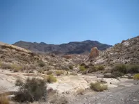
Beyond Buffington Pockets the road climbs out of the wash. It crosses a ridge, where it briefly splits into a steep fork and a gentler one, and tops out at 7.7 miles at the head of the canyon. Below lies a valley scattered with domed sandstone outcrops and traditional campsites. At 8.6 miles is a small strip mine where miners stripped off red sandstone overburden and left what looks like a red-mud quarry. “I don’t know what was mined here,” the road log’s author wrote. Pesek put the end of the graded road about eight miles in, at a rock quarry near the summit. From that point the byway becomes a backroad and in places a two-track.
Side roads climb to the right into the network of an abandoned mine. At 9.3 miles the byway crosses the crest of the Muddy Mountain Range and descends into the edge of Bitter Springs Valley, with the main workings of the old mine on the hillside to the right. Pesek wrote of deep cisterns and tunnel entrances near an old borax mine close to the road, and she told readers to stay out of the diggings. Twice, at 10.0 and 10.1 miles, the road climbs out of the wash on the left to get around pour-overs. At 10.3 miles a little-used road runs 0.9 mile up a wash to the Hidden Valley East Trailhead.
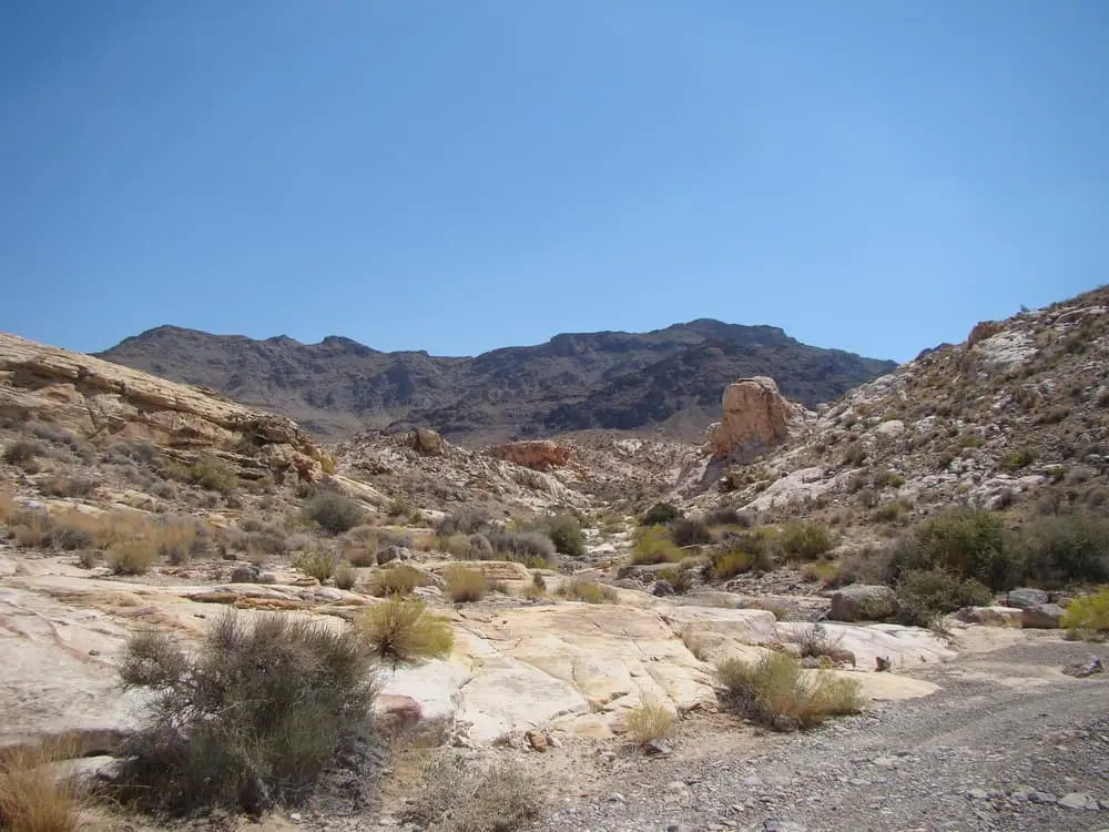
That trailhead opens onto the Muddy Mountains Wilderness, 48,019 acres set aside by Congress in 2002 and managed jointly by the BLM and the National Park Service. No motor vehicles or bicycles are allowed inside it. Its geology is a thrust fault that pushed gray limestone over Aztec sandstone. At Hidden Valley, erosion has cut a “window” through the limestone to expose the red and tan sandstone beneath. The Wilderness Connect site says the limestone peaks were sea floor about 300 million years ago and that the sandstone is fossilized dunes. Creosote, blackbrush, yucca and beavertail cactus grow on the slopes. Las Vegas buckwheat and the Las Vegas bearpoppy, both rare, grow in the red gypsum soils lower down. Bighorn sheep and desert tortoise live in the range, and the BLM reports banded Gila monsters near water.
At 11.6 miles, across a broad sandy wash, the road forks. The official byway turns left and climbs northwest, apparently in the wrong direction, across several miles of bumpy high country. The right fork runs down the smooth sandy wash, a route the road log calls “possibly illegal, but much nicer.” Both rejoin at 22.1 miles. Pesek’s advice about the doubling-back turn was to “Follow it anyway.” The BLM marks the route with narrow brown posts carrying the agency emblem, and Pesek warned that “the BLM is not generous with these signs.” The road log shows a carsonite marker at 9.7 miles.
Down the washes to Bitter Spring
At 16.1 miles the bumpy section ends. The road drops into a narrow, winding, colorful canyon floored with smooth sand. The road log says that as long as a driver keeps heading downhill, the direction is right. At 19.3 miles the canyon opens to face West Longwell Ridge, and the route follows the ridge’s base through a deeper canyon. At 21.1 miles it comes out onto Bitter Springs Valley. Below a white-mud hill at 23.1 miles the byway leaves the wash on the right. Drivers who miss that turn soon reach the lip of a high pour-over and have to turn back.
At 23.6 miles the byway joins Bittersprings Road, National Park Service Road 101, at a signed junction. From here a driver can go right for 3.4 miles up the bajada to Northshore Road, or continue east down Echo Wash. On the Echo Wash route, at 23.9 miles, Bitter Spring appears on the left. The road log names it as a birdwatching site. The spring is a fragile desert ecosystem, so the road keeps tight against the canyon wall until it is past the main springs area, and signs ask drivers to stay out. In some years water flows farther down the canyon. Pesek wrote in 2010 that in the wash near the spring water runs on the surface, dampens the sand and supports heavy vegetation. In 2013 she wrote, “expect mud from runoff.”
At 25.2 miles boundary signs mark the start of Lake Mead National Recreation Area, where only street-legal vehicles are allowed. Northshore Road comes into view high on the right. At 26.3 miles a signed side road climbs 100 yards to the pavement. Drivers who miss it soon pass beneath Northshore Road, which the road log calls “a good clue to turn around.” Pesek placed this exit about three miles south of the Echo Bay turnoff.
Borax in Callville Wash
The BLM lists abandoned borax mines along the byway. The best-documented borax strike in the range lay off the byway, in Callville Wash, and is reached today from Northshore Road. On January 23, 1921, two prospectors, Francis Marion Lovel and George D. Hartman, found there what was probably the richest colemanite deposit then known. Lovel telegraphed Francis Marion “Borax” Smith in Oakland, California, and also notified other bidders, among them the Pacific Coast Borax Company. Smith took the train to Las Vegas. It is believed he hired an automobile and a driver to go out on the dirt road, since he never learned to drive.
The account comes from the book Borax Pioneer: Francis Marion Smith, as retold by a Las Vegas man named Phil Ray. When Smith arrived, it was said, he found his former chief engineer, Clarence Rasor, now working for Pacific Coast Borax, sitting on a nearby rock. Smith proposed that he and Rasor each write an offer on a slip of paper and put it under a rock for Lovel to read. Smith bid higher. He wrote a $50,000 check as a deposit and, on the back of an envelope, promised $200,000 more. He named the claim the Anniversary Mine because the strike fell on the anniversary of his marriage to Evelyn Ellis. West End Chemical Company owned it from 1921 until 1928, when the crew was moved to another mine with the expectation of coming back.
No one came back. In 1959 a pilot and a passenger flying low over the Muddy Mountains saw what looked like a large mining camp with no one moving in it. The passenger was Phil Ray, who sold automotive hardware across Nevada and explored ghost towns between calls. He set out to find the camp by driving through the desert behind Sunrise Mountain with no road to follow, and after many attempts he found a gap between two mountains that led in. The company had left the camp as it stood: office furniture, mining equipment, a blacksmith shop, metal bunks in a cave the miners had dug below the foreman’s house to escape the heat, and a partially read newspaper next to the remains of breakfast. The pool hall held two Brunswick-Balke-Collender tables with the balls still on them. “Not even a pool ball was missing or moved in the whole town,” Ray wrote.
The camp was emptied in 1963. A pastor, Rev. Frieson, wrote to the owners asking for the metal bunks for a church youth camp on Mount Charleston and was told he could have everything. The guard, Weddell, objected that the machinery, the equipment and the pool hall had been given to him. Frieson did not argue, and he hauled out the furniture and kitchen equipment in seven trucks. On March 2, 1963, Ray paid Weddell $75 for the contents of the pool hall and $15 for an anvil, a crank blower and tongs from the blacksmith shop. “This was one of my better buys,” he wrote. He and his friends took the tables apart, laid the old slate between mattresses in the beds of their pickups, and drove it out across the desert. Ray’s account says the mine ground is now private property, closed to the public, with an active operation on it.
Notable Events
- 1921On January 23, 1921, two prospectors found probably the richest colemanite (borax) deposit then known in the Muddy Mountains of Clark County. desertnews.com
- 1928The Anniversary Mine, owned 1921-1928 by West End Chemical Company, was closed in 1928 and the men moved to another mine, expecting to return. desertnews.com
- 1959A pilot and passenger flying low over the Muddy Mountains spotted the deserted mine; the passenger, Las Vegas resident Phil Ray, later found it by driving through the desert. desertnews.com
- 1989Congress designated the route a scenic back country byway. neon.reviewjournal.com
- A short-lived quarry was established at Color Rock Quarry sometime in the 20th century, where Aztec sandstone bedrock was excavated; little trace remains beyond an abandoned stone cabin, concrete foundations, and partially sawed stones. americansouthwest.net
People
- Phil Ray, Las Vegas resident who located the abandoned Anniversary Mine and in 1963 purchased its pool hall contents (1963).
Sources
- birdandhike.com/Hike/LAME/Roads_LAME/BitterSprByway/_BitterSprByway.htm
- flickr.com/photos/blmnevada/5367540779
- nvtrailfinder.com/trails/trail/bitter-springs-backcountry-byway
- travelnevada.com/off-roading/bitter-springs-backcountry-byway
- fhwaapps.fhwa.dot.gov/bywaysp/byway/68962
- desertnews.com/news/article_dacf2c3a-ab48-11ef-8b30-0ba9916b142a.html
- americansouthwest.net/nevada/color-rock-quarry/index.html