Black Hills Back Country Byway
Between Safford and Clifton, Arizona. Type II byway; The byway is open all year.
Details
- Where
- Between Safford and Clifton, AZ. No street address stated. Directions
- Getting there
- The Black Hills Back Country Byway is located between Safford and Clifton in southeastern Arizona, about three hours northeast of Tucson or 3 1/2 hours east of Phoenix. Both ends of the byway are accessed from U.S. Highway 191. The southern end is at milepost 139, the northern end at milepost 160.
- Fees
- The Black Hills Back Country Byway is free (no fee required) for general visits by the public.
- Access
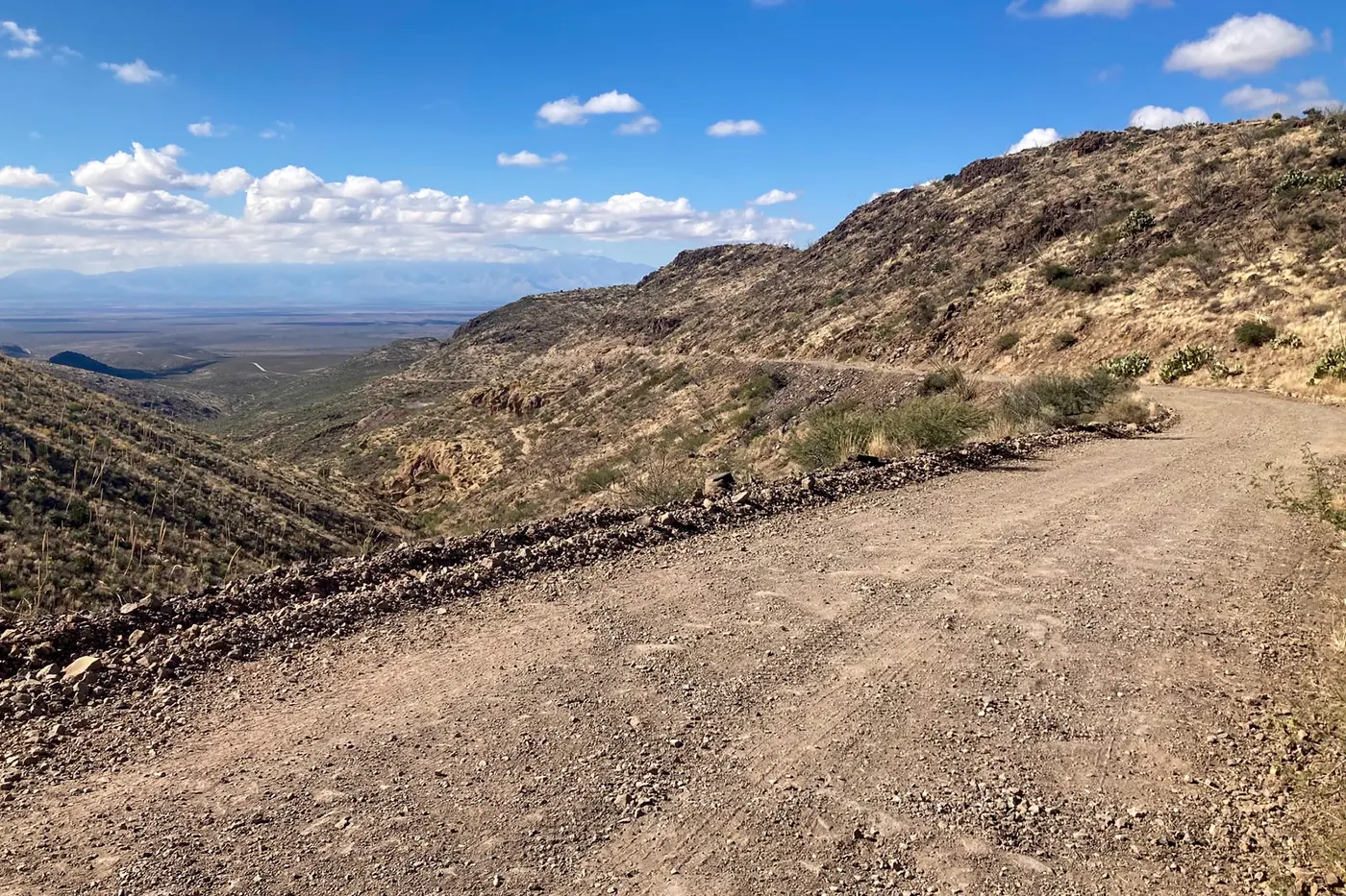
- The byway is an unpaved route best suited for high-clearance vehicles, especially during wet weather. While the drive offers stunning views, some sections feature narrow drop-offs and steep cliffside passages - so caution is essential.
- Walk-in or reserve
- Commercial, competitive, and large organized group events require a special recreation permit.
- Phone
- 928-348-4400
- Website
- blm.gov
- Managed by
- This site is managed by Safford Field Office.
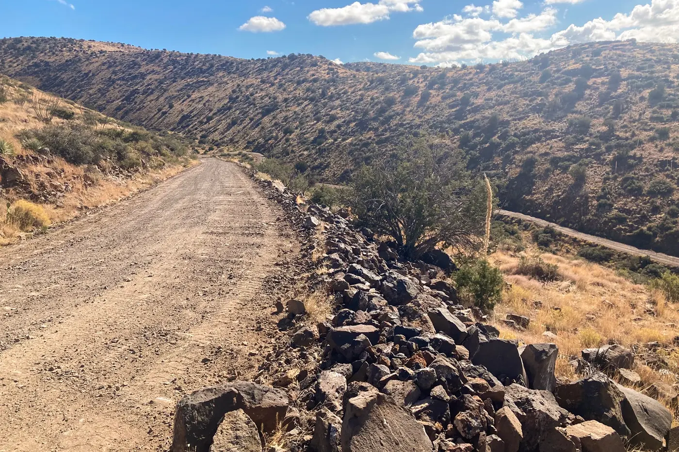
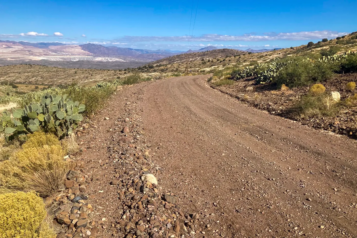
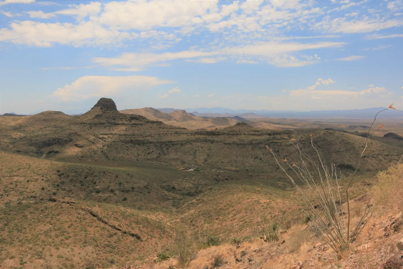
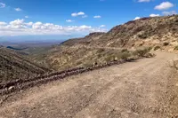
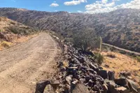
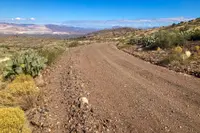
The southern end of the Black Hills Back Country Byway leaves U.S. Highway 191 near milepost 139, about 20 miles east of Safford. It runs 21 miles through the hills and rejoins the highway near milepost 160, short of Clifton. Around Clifton and Morenci it is still called the Old Safford Road. The surface is mostly native soil with stretches of gravel. The Bureau of Land Management’s Safford Field Office, which manages the route, rates it a Type II byway: a two-wheel-drive vehicle with high clearance will do, but nothing longer than 20 feet should attempt it. A Bureau marker sets the speed limit at 15 miles an hour and advises at least two hours for the drive. Some sections run along narrow drop-offs and steep cliffsides, and the rule of the road is to expect a vehicle around the next bend and yield to uphill traffic. There is no drinking water along the way, and cattle stand on and near the road.
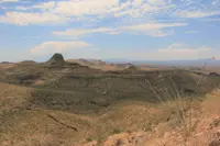
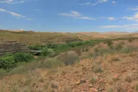
The Black Hills are the northern end of the Peloncillo Mountains. They were made by volcanic activity some 20 million years ago, in andesite, dacite and rhyolite: dark gray and gray-brown lava flows mixed with light gray, red and yellow ash. Prickly pear and native grasses cover the talus slopes. After rains, according to the Greenlee County tourism association, the hills “radiate gold with poppies.” Writing in Arizona Highways, Kelly Vaughn found it “easy to see why Geronimo wandered these hills during raids into Mexico and back.”
Cinders and agate above Twin C Ranch
About 3 miles in, the road crests above the Twin C Ranch. A side road there leads to the Black Hills Rockhound Area, where collectors hunt fire agate, a chalcedony whose inclusions of limonite or goethite give it an opal-like iridescence. The stone has been sought for collecting since the 1930s. The byway continues past an abandoned mine, and then, in Vaughn’s words, “a cinder pit looms red and dusty against the onyx hills.” From there, on a clear day, the Dos Cabezas Mountains stand about 50 miles off.
The road climbs steadily, and cholla and yucca appear among the prickly pear. It reaches its highest point near the 12-mile mark and descends in a series of twists. The high country of the area is Guthrie Peak, at 6,571 feet, reached by hiking and horseback trails. Primitive side roads branch off the byway. They are single-lane, unmaintained and four-wheel-drive only, and washes can obscure them entirely. Along these roads lie remnants of old mining operations and of erosion-control work from the 1930s. Mule deer, javelina and quail are hunted on the public land on either side.
Midway along the route, the Canyon Overlook Picnic Area has two ramadas on concrete pads, with grills and a view down into the Gila River canyon. The Phelps Dodge Interpretive Site shelters its display under a single large ramada. Between Mileposts 16 and 17, a short walk from the roadside, stand the remains of the labor camp where the men who built the road slept: block and rebar, nothing more.
Down to the Gila
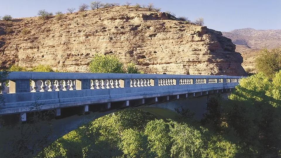
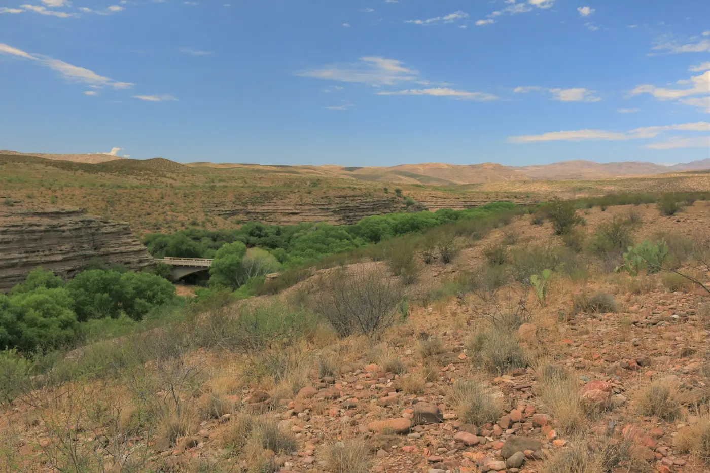
Near the northern end the road crosses the Gila River on two reinforced concrete arches, each spanning 123 feet. The bridge is 288 feet long and carries a 17-foot roadway between moulded concrete guardrails with turned balusters and paneled bulkheads. A marker set into the canyon wall on the north side gives it the name Jose M. Subia Memorial Bridge. It is also called the Old Safford Bridge and, in the federal inventory, the Gila River Bridge.
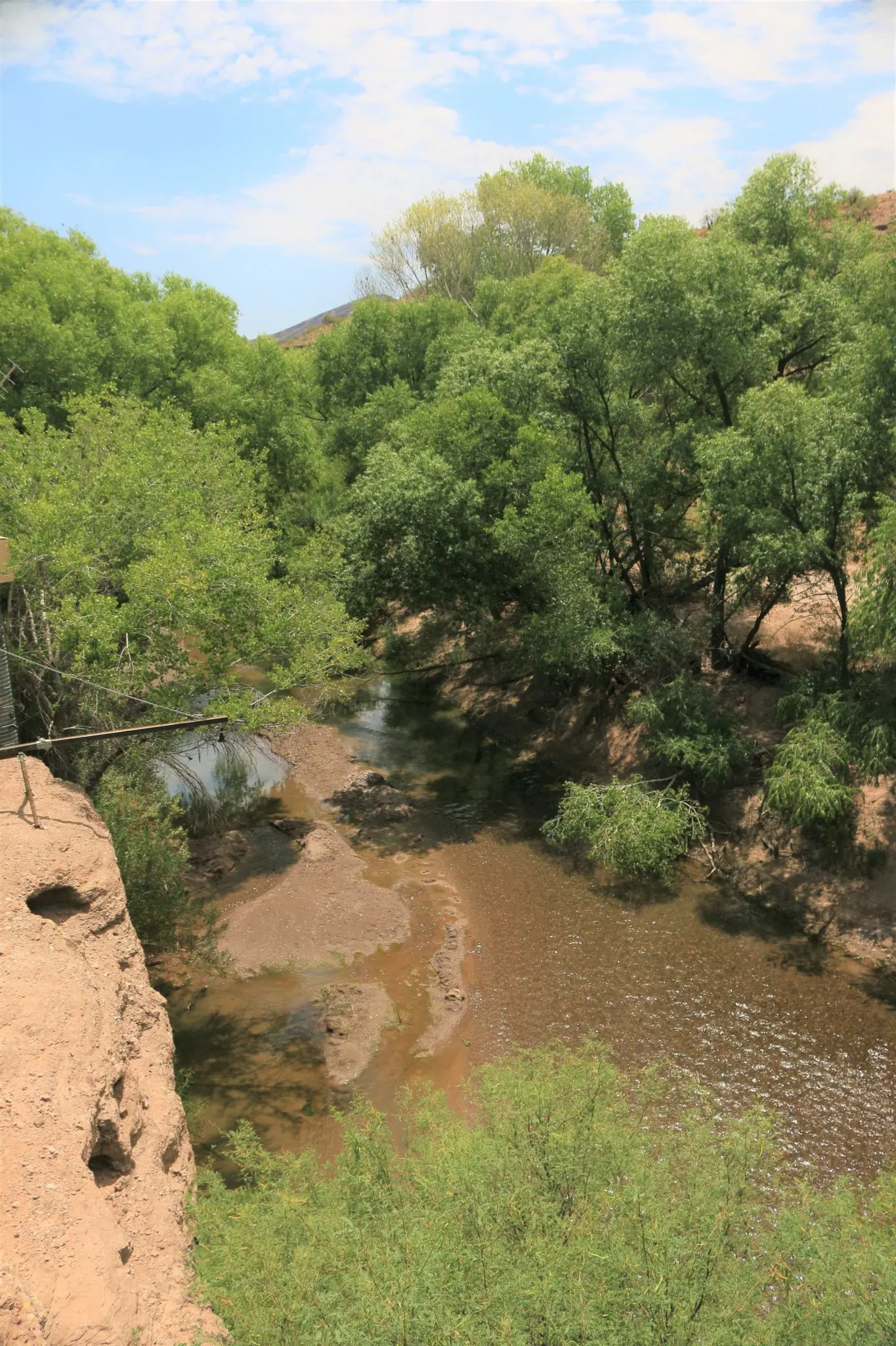
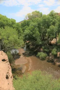
The south end of the bridge is the launch for rafts and kayaks floating the Gila and a place to fish for catfish. The only public toilets on the route are at this put-in. Floaters need a Bureau permit for the 23 miles of river through the Gila Box Riparian National Conservation Area. The area covers 23,000 acres where the San Francisco River and Eagle Creek join the Gila, and the tourism association counts it as one of only two such conservation areas in the nation. Mesquite, cottonwood, sycamore and willow line the water, and the area holds cliff dwellings and Indian writings. The tourism association also holds that this is “most likely” the three-river country Geronimo named as his birthplace.
The north end of the bridge has a small picnic area. Above it, the Owl Creek Campground sets seven fee sites on a cliff over the bridge and the river. The campground is dry and has ramadas, grills and a restroom. Near the junction with San Francisco River Road, a Bureau marker headed “Riches from the Earth” asks travelers to “imagine traveling this winding dirt road during the 1920s.”
Convicts on the Old Safford Road
Prisoners built the road between 1914 and 1920. The roadside marker calls it a necessity for settlement, “a vital link between the fertile farmlands” of the Safford Valley “and the mineral wealth of the mountains around Clifton and Morenci.” Cattlemen used it to work their ranches. According to Vaughn, a few of the prisoners escaped during construction. “Most, however, behaved.” The historian William Ascarza, writing in the Arizona Daily Star, records several prisoner graves marked on the west side of the byway. One holds a man killed by a guard in an attempted escape in 1916. Another holds a man who died of natural causes. The tourism association notes an old jail that held prisoners in transit along the road.
Two arches instead of one
In 1917 the Arizona State Engineer laid out the Clifton-Solomonville Road along the mountain ridges to avoid the need for many bridges and culverts, but the Gila crossing in Greenlee County could not be avoided. Keeping to the high route, the preliminary survey put the roadway 101.5 feet above the streambed. In March 1917 State Engineer Thomas Haddock designed a 312-foot steel deck arch and budgeted $60,000 for it. The bids came in far over budget, and the design was scrapped. World War I made steel construction impractical, so the state hired R.V. Leeson, assistant chief engineer of the Topeka Bridge and Iron Company, who drew a single 270-foot open spandrel arch in concrete.
In March 1918 the new state engineer, B.M. Atwood, changed the plan to two equal-span arches of the type patented and marketed by Daniel B. Luten, and he dropped the grade closer to the river. That year a convict work force built the bridge for $60,191.
Clayton B. Fraser inspected the bridge on February 26, 1987, for the Historic American Engineering Record. He wrote that Leeson’s single span would have been one of the longest of its kind in America, and that Haddock’s steel arch would have been the state’s first vehicular deck arch. Of the three most important convict-built bridges in his inventory, which also included the Tempe Bridge of 1911–13 and the Antelope Hill Bridge of 1914, this was the only one still open to traffic. The bridge entered the National Register of Historic Places among Arizona’s vehicular bridges, with a supplementary listing dated September 30, 1988. The highway has since been rerouted around it.
Spreader dikes, pumice blocks, and Joe Subia
In the 1930s a Civilian Conservation Corps camp a few miles past the river housed men who built miles of rock berms called “spreader dikes” to control erosion.
The cinder pit opened under C.N. Greer in 1942, working a pumice deposit averaging 80 feet thick over volcanic cinders. Its overburden went into highway construction. A.C. Haigler’s Pumice and Pumicite Co. worked the site in the mid-1950s, when miners trucked pumice to Safford to be made into cinder blocks. Haigler later sold 200 acres to the Gila Valley Block Co. Bill Maher, the company’s manager, put production at an average of 40 yards of cinders a day, hauled daily to the company’s brick plant in Safford. By 1982 there were 34 claims staked at the site. In 1988 the quarry and the brick plant were offered together for $500,000, and mining ended in late 1990.
The road passed to Greenlee County in 1951. In 1997 a federal transportation grant and county funds replaced the bridge’s crumbling guardrails with near-replicas, and the bridge was rededicated to Jose M. Subia, who had died that April. He was a conservationist whose grandfather had been an early pioneer and rancher in the upper Gila Valley, and he served in Europe in World War II. His marker in the canyon wall records that “he crossed this bridge daily from the family’s ranch downstream.”
Notable Events
- 1914Prison laborers built the road; a few escaped during the work. arizonahighways.com
- 1916A prisoner was killed by a guard in an attempted escape in 1916; his grave is among several prisoner grave sites marked on the west side of the byway. tucson.com
- 1917The state engineer designed the road along ridges to avoid numerous bridges and drainage structures, but a major Gila River crossing was unavoidable. npgallery.nps.gov
- 1917Thomas Haddock designed an initial steel deck-arch bridge; bids over budget caused the design to be scrapped. npgallery.nps.gov
- 1918The Old Safford Bridge across the Gila River, which the byway traverses, was constructed in 1918 and restored several years before the article. arizonahighways.com
- 1918The state completed the bridge using prisoner labor, linking Gila Valley farming communities and the Morenci Mining District. hmdb.org
- 1918B.M. Atwood ordered two equal-span Luten arches and a lower highway grade; convicts built that design that year. npgallery.nps.gov
- 1930sThe Civilian Conservation Corps carried out erosion control projects in the 1930s; remnants remain along the byway's side roads. blm.gov
- 1950sMiners pulled pumice from the route-side pit and trucked it to Safford for conversion into cinder blocks. arizonahighways.com
- 1951The road was transferred to Greenlee County. hmdb.org
- 1988The bridge nomination carries this supplementary listing date. npgallery.nps.gov
- 1997An Intermodal Surface Transportation Efficiency Act grant and county funds paid for improved near-replicas of the crumbling guardrails. hmdb.org
- 1997The Jose M. Subia Memorial Bridge was rededicated. hmdb.org
People
- Geronimo, Described as wandering these hills during raids into Mexico and back.
- Jose M. Subia, Greenlee County conservationist who crossed the bridge daily from his family's downstream ranch (passed away in April 1997).
- B.M. Atwood, State engineer who ordered the final bridge design and lower highway grade (March 1918).
- Daniel B. Luten, Patented and marketed the arch design used for the Gila River Bridge.
- R.V. Leeson, Topeka Bridge and Iron Company assistant chief engineer hired to design a replacement concrete arch.
- Thomas Haddock, State engineer who designed the initial steel deck-arch bridge proposal (March 1917).
Sources
- blm.gov/visit/black-hills-back-country-byway
- arizonahighways.com/black-hills-back-country-byway
- visitgreenleecounty.com/all-posts/black-hills-backcountry-byway
- hmdb.org/m.asp?m=172280
- hmdb.org/m.asp?m=195854
- npgallery.nps.gov/GetAsset/f3951cb2-23d5-488b-9dff-4ec21497414e
- tucson.com/news/local/mine-tales-black-hills-in-peloncillos-known-for-pumice-fire-agate/article_3da8b2b7-c9cf-5173-94dc-ed1c4dc3c2b7.html