Bay-2-Bay Scenic Byway
Westport, Grays Harbor County, Washington. Scenic byway; open year-round.
Details

- Where
- Westport, Grays Harbor County, WA. No street address stated. Directions
- Getting there
- State Route 105 between Aberdeen and Raymond.
- Access
- This scenic byway is open year-round, making it a great four-season road trip.
- Website
- evergreencoastwa.com
- Managed by
- Pacific County Tourism Bureau.
A “Welcome to Aberdeen” sign stands at the east entrance to the city, where the Wishkah and Chehalis Rivers meet and flow into Grays Harbor. The Bay-2-Bay Scenic Byway begins there. It is State Route 105, which runs from Aberdeen around the coast to Raymond, from Grays Harbor to Willapa Bay. The state tourism office gives its length as 50 miles, its drive time as an hour and a half, and its recommended stay as one day. The corridor management plan adopted in January 2026 advises driving north to south for the easiest access to the views. The road is open year-round.
The corridor plan says Aberdeen was “once known for its saloons and gambling halls” and calls it the “Gateway to the Olympic Peninsula.” The town keeps the International Mermaid Museum and Kurt Cobain Memorial Park, which mark its ties to Nirvana and grunge. Walkers have the Lake Swano Trails at Grays Harbor College and the Basich Trailway. From Aberdeen the highway runs west through Markham and Ocosta along the harbor shore, past state parks that include Bottle Beach.
Westport, Grayland and the cranberry bogs
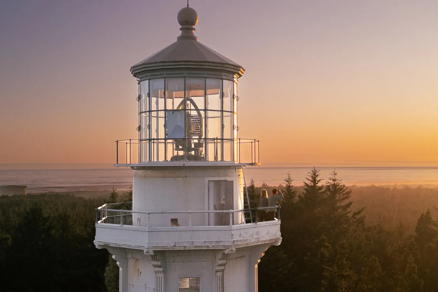
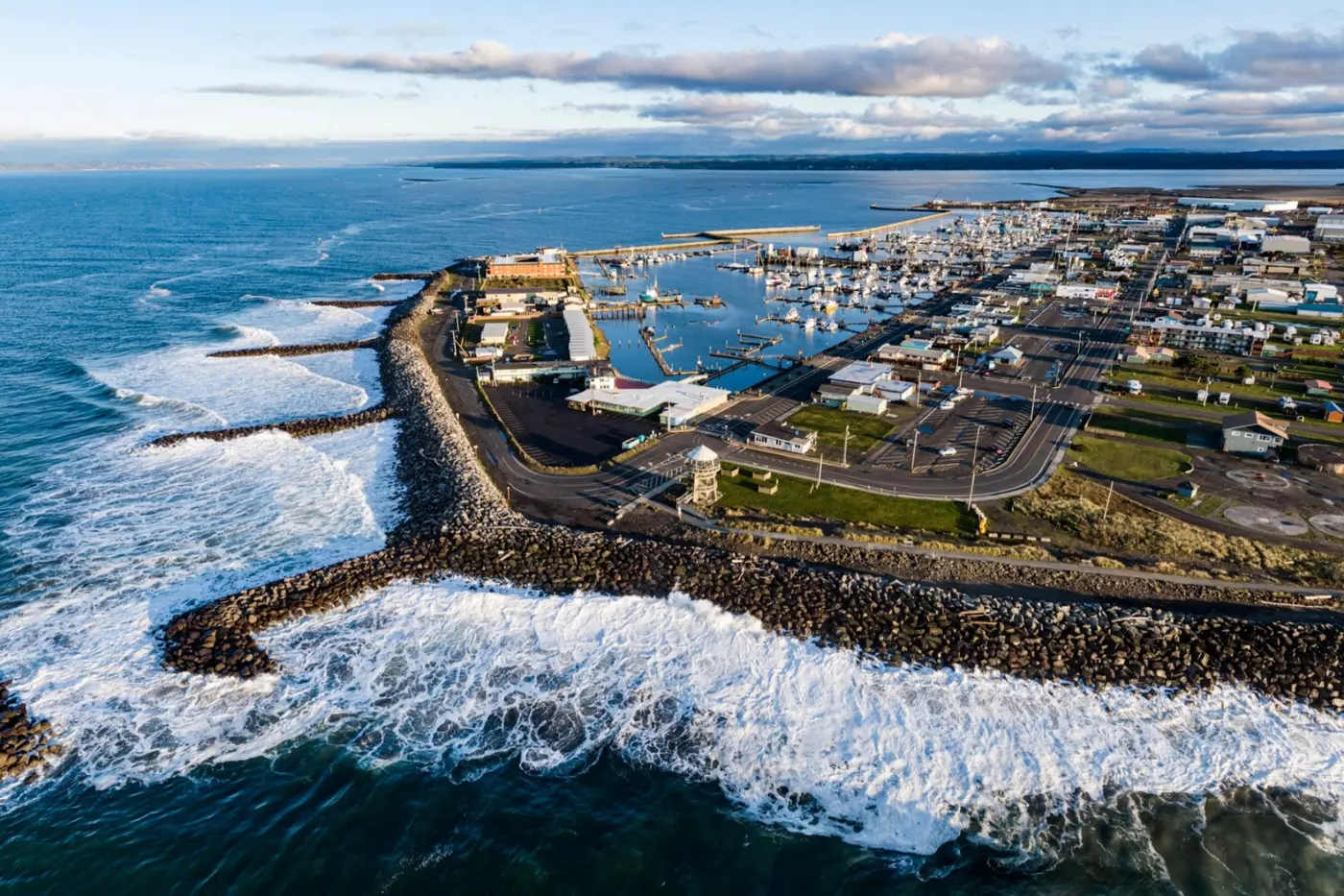
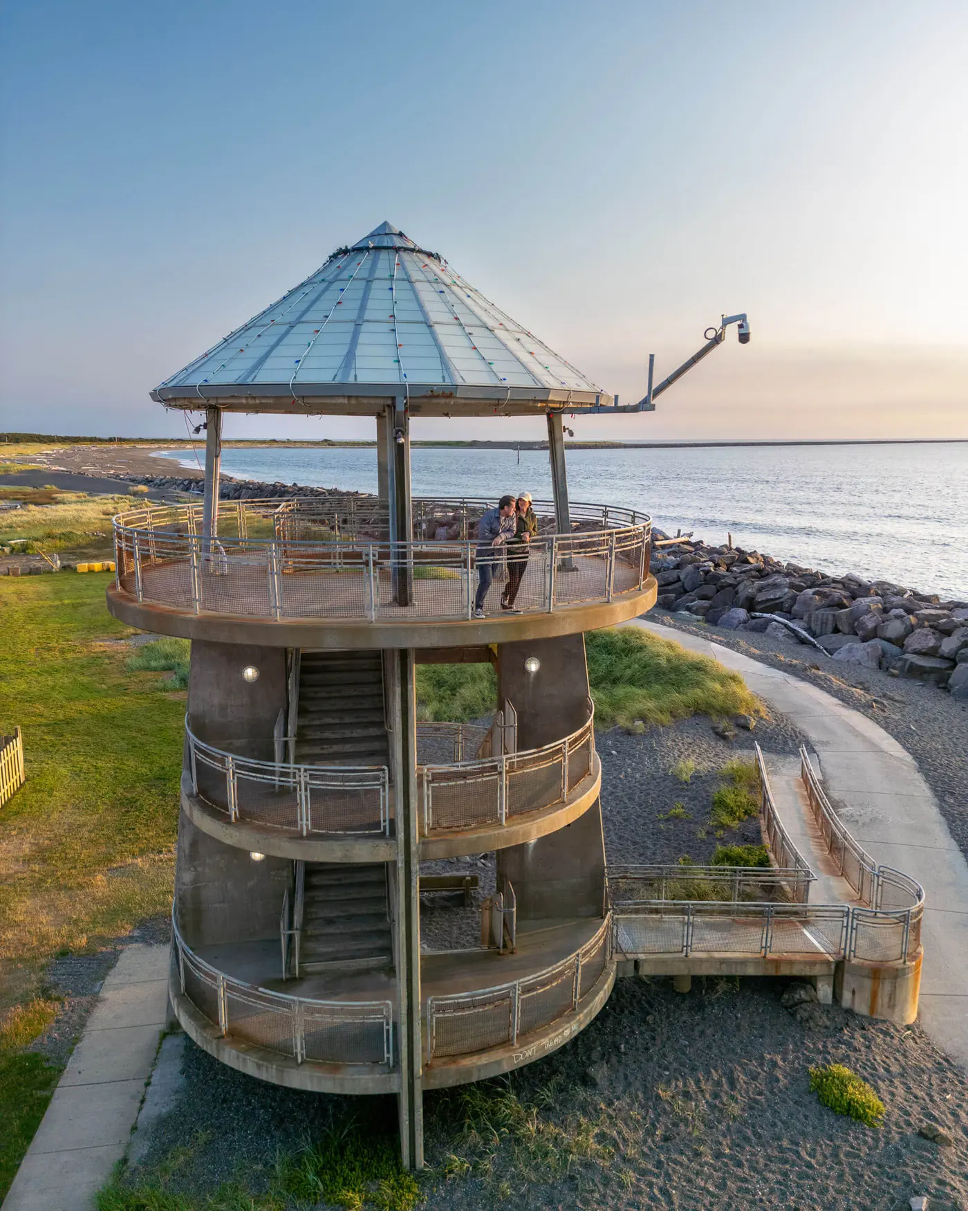
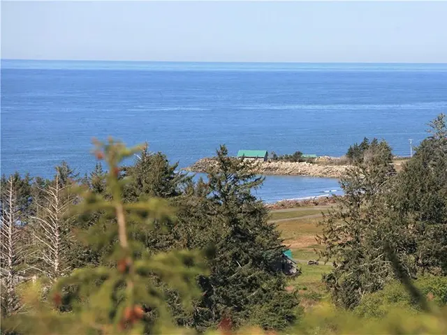
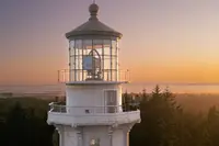
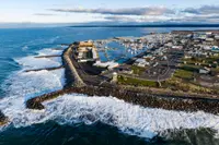
Westport sits on a short spur off the main route at the mouth of Grays Harbor, on the peninsula called Point Chehalis. People come for surfing, fishing and seafood, and in winter for storm watching. The Grays Harbor Lighthouse stands there, and the state tourism office calls it the tallest lighthouse in Washington. The 1998 corridor plan explains why the light was needed. Shifting sands at the mouths of both bays made dangerous channels and caused shipwrecks “even into the modern era.” Lifesaving crews were stationed at each harbor mouth, and a U.S. Coast Guard base still works out of Westport. The same plan counted the tall ship Lady Washington, a replica of Captain Gray’s ship, among the familiar sights on Grays Harbor.
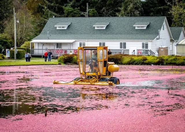
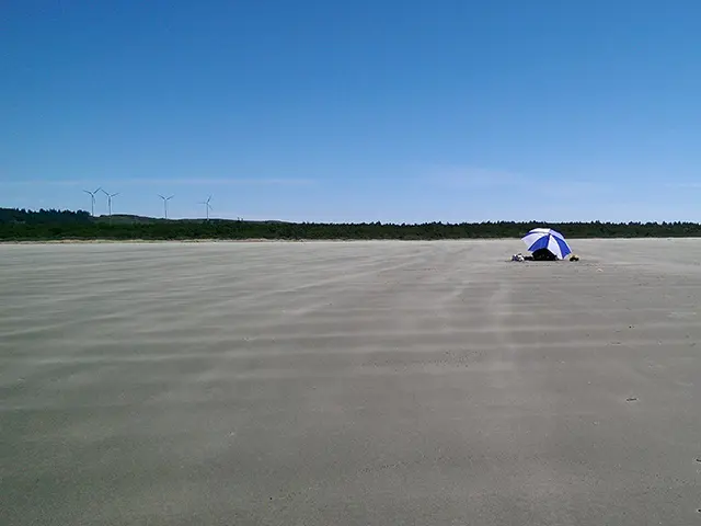
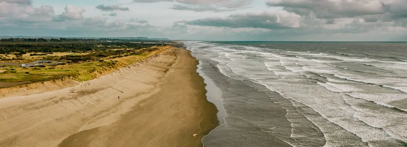
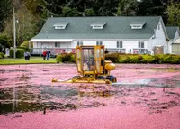
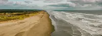
South of Westport, Grayland is a beach town of surfing, kite flying, clamming and crabbing. Grayland Beach State Park has sandy beaches, grassy dunes, campsites, RV spots and yurts for rent. Behind the dunes, the 1998 plan says, “the beach strand dissolves into primordial swamp” where groundwater comes to the surface. That ground supported native cranberry and cedar swamp first and now supports cultivated cranberry fields. The Pacific Coast Cranberry Research Foundation and Museum covers the berry and its industry, from preparing and planting a bog to marketing what it grows. Scenic Washington uses an older name for the route, the Cranberry Coast Scenic Byway, “named in honor of the tiny red berry, which once grew wild in the region.” It describes the route as running from Westport to South Bend, the self-proclaimed “Oyster Capital of the World.”
Tokeland on the north rim of Willapa Bay
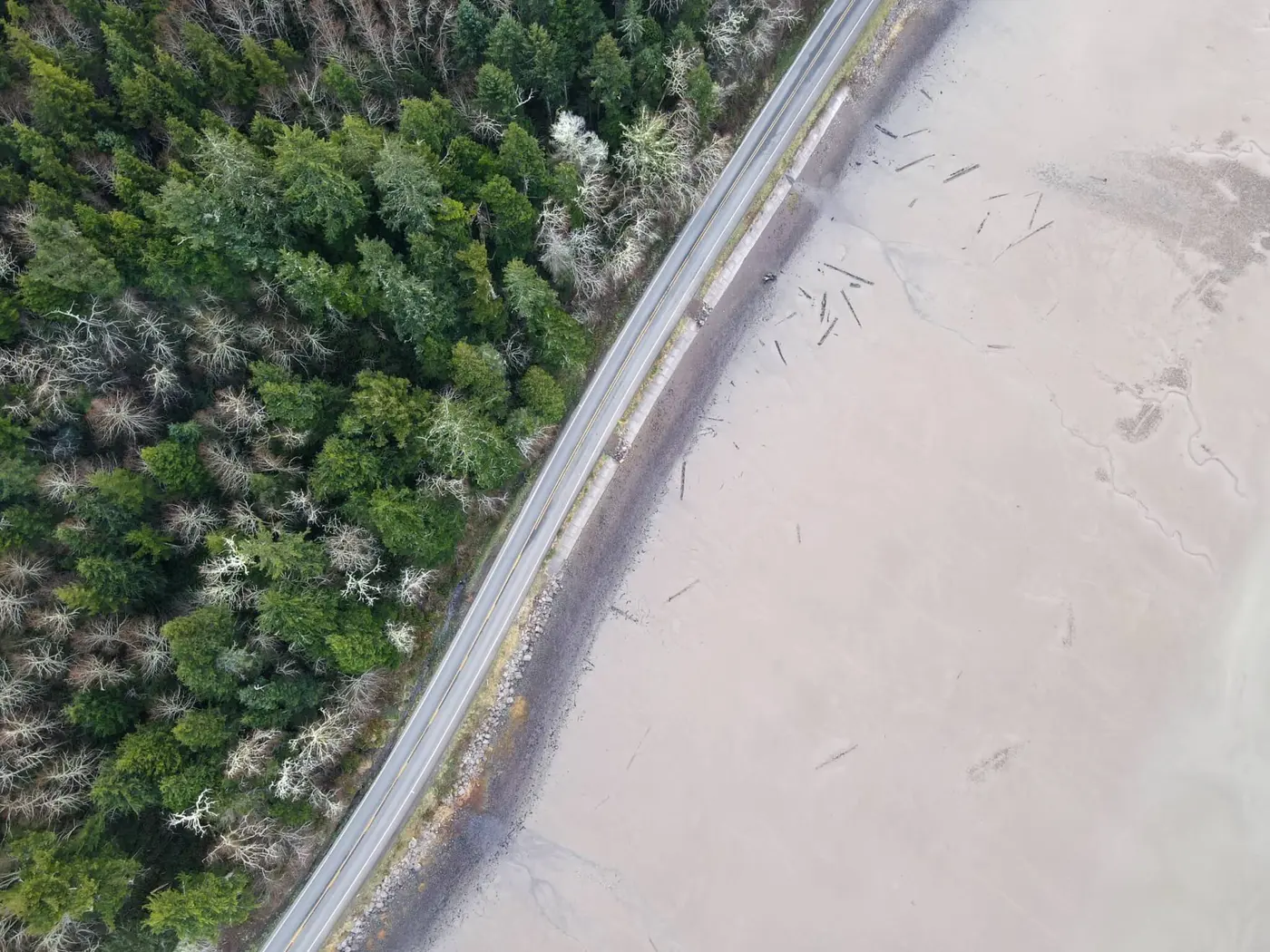
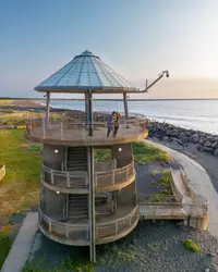
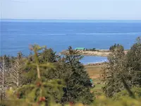
Tokeland lies on the north rim of Willapa Bay and is named for Chief Toke, a nineteenth-century Indian leader. The town has a marina, beaches for clamming, crabbing and bird watching, and a waterfront where people watch the sun set over the bay. The corridor plan illustrates the Tokeland Beach View Point at low tide. The 1998 plan calls Willapa Bay “the healthiest large estuary on the west coast,” a place “where shallow water slowly rises and recedes over mud flats.”
The Shoalwater Bay Heritage Museum presents the culture and history of the Shoalwater Bay Indian Tribe. According to the 1998 plan, the Shoalwater Bay people lived along the north shore of Willapa Bay and were of Chinook, Chehalis and possible Kwalhioqua ancestry. The Lower Chehalis people lived mainly along Grays Harbor. In the mid-nineteenth century the largest villages, at Point Chehalis and Toke Point, were major trading centers. Those village sites later became Westport and Tokeland. The Shoalwater Bay Reservation was established on Willapa Bay in 1866.
Resort trade came early. In the 1890s a steamer carried passengers between Tokeland and South Bend, and the Tokeland Hotel & Restaurant survives from that resort period. Near the turn of the century, the 1998 plan says, Tokeland had several hotels, “including one built in the shape of a beached ship.” A photograph in the same plan shows a crab party in Tokeland around 1910.
Raymond and the North River
East of Tokeland the road follows the north shore of Willapa Bay. It passes the mouths of the Cedar River and Norris Slough, then crosses the North River near Smith Creek, about midway to Raymond. Around 1900 a large salmon cannery stood on pilings on the North River beside an active lumber mill. Raymond and Aberdeen both grew as mill towns, shipping timber by sea and rail.
Raymond is the southern anchor of the byway. Metal sculptures and murals line its downtown, and the Willapa Hills Trail starts nearby for cyclists. The Willapa Seaport Museum is in town, as is the Northwest Carriage Museum, which holds carriages, day buggies, work wagons, coaches, sleighs and period clothing. A short detour leads to South Bend and the Pacific County Courthouse, a 1910 National Historic Place. Its designers were C. Lewis Wilson and Company of Chehalis, and it cost $132,000 in 1909 dollars, which led the local paper to call it “The Gilded Palace of Extravagance.”
Forty-six years of petitions
The Raymond–Tokeland stretch, which closes the route, was the last part built. State Senator Robert C. Bailey wrote its history for the opening program. Building a road from Raymond to the Tokeland area was “an important issue in 1916,” he wrote, but it was “apparently shelved” in favor of finishing the road to Chehalis. In 1923 a group of citizens led by V. A. Wilson, George Camenzind, George Vail and Sam Vahey went before the Raymond City Commission to ask for its support. In Bailey’s words, this began “a long procession of voters with petitions and resolutions,” and the delegations wore “a well-worn path” to the doors of the county commissioners and the Highway Commission.
In the spring of 1930 the Twin Harbors Beach Club was organized to promote tourism and to push for the highway, with Mr. Ingram of Westport as president. Senator Norman tried to have the road added to the state system. On May 15, 1930, the Raymond Advertiser wrote that the road “would link with the new Raymond-Aberdeen Road nearly completed thus making a loop.” The Raymond–Aberdeen highway opened in the fall of 1931.
In February 1931 the club hosted state legislators at the Tokeland Hotel. The South Bend and Raymond chambers of commerce brought them in by car and by boat. More than 330 people attended, and the master of ceremonies was Russell Mack, who later represented the area in Congress.
A second bid for the state system failed in 1933. In August of that year State Highways Director Lacey Murrow promised a survey, with the idea of putting relief workers on the job. The Laws of 1937 first named “Secondary State Highway 13-A, Raymond to Tokeland.” In 1941 the state budgeted $85,784 to start surveys. In 1949 the legislature paid for grading and surfacing Park Avenue in Raymond, the first money for actual construction. In 1953 the various supporters joined as the Raymond-Tokeland Road Association, with Hans Schmitt as president. From that year on, contracts were let in turn to Frederickson Slough, to the North River, for the North River Bridge, and then to the end of the line. The legislature approved the final funds in 1960.
The highway opened on June 16, 1962. The 32nd Infantry Division Band played the national anthem. Governor Albert D. Rosellini was on the program, along with the Pacific County Fair Court led by Queen Shirley Klemp and the high school bands of Raymond, South Bend and Ocosta. The North Willapa Grange served a no-host lunch at the Wash-a-Way Beach Picnic Grounds. On that day the road association disbanded and merged with the Twin Harbors Highway Association “to promote wider use of all of the area’s highways.” The ceremony completed the loop from Aberdeen to Raymond that the Advertiser had described thirty-two years earlier.
Renumbering and the eroding shore
When the state’s current numbering was posted in January 1964, SSH 13A from Raymond, by way of the south side of Westport, to South Aberdeen became SR 105. In 1971 the state realigned the highway after coastal erosion carried part of it into the bay.
The December 1998 plan, A Highway between the Bays, was prepared by the Washington State Department of Transportation with four consulting firms. It described SR 105 as “a transportation corridor, mainstreet, and State Scenic and Recreational Highway.” Its replacement was drafted in 2024 and 2025 with the Quinault, Chehalis, Cowlitz, Chinook, Shoalwater Bay and Grand Ronde tribes among the partners, and Washington’s Evergreen Coast adopted it in January 2026. The new plan seeks National Scenic Byway designation, which the road does not yet have. Among the problems it lists are drainage in Grayland and erosion at Washaway Beach, where the 1962 opening lunch was served.
Notable Events
- 1916Construction of a Raymond-Tokeland road was an important issue but was apparently shelved in favor of completing PSH No. 12. cdm16977.contentdm.oclc.org
- 1923Citizens led by V. A. Wilson, George Camenzind, George Vail and Sam Vahey appeared before the commission to enlist support for a Raymond-Tokeland road. cdm16977.contentdm.oclc.org
- 1930The club was organized to develop tourism, promote scenic attractions and work for completion of the Raymond-Tokeland Highway. cdm16977.contentdm.oclc.org
- 1931The Twin Harbors Beach Club entertained state legislators at Tokeland Hotel; chambers brought them by car and boat and more than 330 people were present. cdm16977.contentdm.oclc.org
- 1933An attempt to put the route on the state highway system was unsuccessful. cdm16977.contentdm.oclc.org
- 1933State Highways Director Lacey Murrow promised a survey with the idea of putting relief workers on the project. cdm16977.contentdm.oclc.org
- 1937The Laws of 1937, Chapter 207 first officially referred to Secondary State Highway 13-A, Raymond to Tokeland. cdm16977.contentdm.oclc.org
- 1941A budget item of $85,784 was provided to initiate surveys. cdm16977.contentdm.oclc.org
- 1949The legislature provided grading and surfacing funds for Park Avenue in Raymond, the first provision for actual construction. cdm16977.contentdm.oclc.org
- 1953Contracts were progressively let to Frederickson Slough, North River, the North River Bridge and ultimately completion. cdm16977.contentdm.oclc.org
- 1960The legislature approved the final funds necessary to complete the road. cdm16977.contentdm.oclc.org
- 1962The Raymond-Tokeland Road Association disbands with the opening of the highway and will combine with the Twin Harbors Highway Association. cdm16977.contentdm.oclc.org
- 1962An opening ceremony for SSH-13 A from Raymond to Tokeland completed the scenic loop from Aberdeen to Raymond. evergreencoastwa.com
- 1964SSH 13A from Raymond via the south side of Westport to South Aberdeen became SR 105 when the current numbering system was posted. evergreencoastwa.com
- 1971SR 105 was realigned after coastal erosion caused part of the highway to wash away into the Bay. evergreencoastwa.com
- 1998The management plan for the State Route 105 corridor was prepared in December 1998 for corridor communities by WSDOT and its consultants. rosap.ntl.bts.gov
- 2025The page announced a new SR 105 Corridor Management Plan update that had not been addressed since 1998. evergreencoastwa.com
- 2026Washington's Evergreen Coast updated and adopted the corridor plan. evergreencoastwa.com
People
- George Camenzind, Leader of the citizen group seeking commission support for a Raymond-Tokeland road (1923).
- George Vail, Leader of the citizen group seeking commission support for a Raymond-Tokeland road (1923).
- Hans Schmitt, Named president of the Raymond-Tokeland Road Association.
- Lacey Murrow, State Highways Director who promised to survey the road for relief-worker construction (August of 1933).
- Mr. Ingram, Westport man named president of the Twin Harbors Beach Club, which worked to complete the highway.
- Russell Mack, Master of ceremonies at the club's legislative gathering; later the area's US representative.
- Sam Vahey, Leader of the citizen group seeking commission support for a Raymond-Tokeland road (1923).
- Senator Norman, Attempted to place the highway on the state highway system.
- V. A. Wilson, Leader of the citizen group seeking commission support for a Raymond-Tokeland road (1923).