


Buffalo Bill Cody Scenic Byway
Cody, Park County, Wyoming. Scenic byway.
Details

- Where
- Cody, Park County, WY. No street address stated. Directions
- Season
- Open in winter, summer, and most of spring and fall.
- Getting there
- Begin on U.S. Highway 14-20-16 at the Shoshone Forest boundary, 24 miles west of Cody, and continue west 27.5 miles to Yellowstone's eastern border.
- Fees
- Overnight forest service camping site fees apply.
- Access
- Length 27.5 mi / 44.3 km. Time to Allow: 45 minutes to drive this byway. Overnight forest service camping site fees apply.
- Phone
- 307-527-6241
- Website
- recreation.gov
- Managed by
- Department of Transportation.
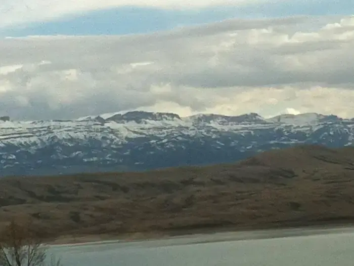
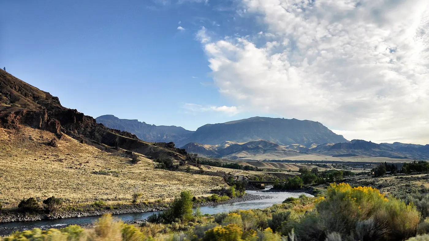
West of Cody, US Highway 14-16-20 follows the North Fork of the Shoshone River upstream toward Yellowstone National Park. Six miles out, the highway skirts Buffalo Bill Reservoir, a trout water and the site of Buffalo Bill State Park, which has camping, picnicking, boating, and windsurfing. The dam behind the reservoir dates from 1910. A Wyoming Department of Transportation brochure calls it the highest dam in the world when built and the first concrete arch dam ever constructed.
The Buffalo Bill Cody Scenic Byway proper begins at the Shoshone National Forest boundary and runs 27.5 miles west to the park’s eastern border. Recreation.gov puts the boundary 24 miles west of Cody. The state tourism office puts it about 25 miles out. The Federal Highway Administration lists the route among America’s Byways and allows 45 minutes to drive it. The state brochure gives the byway as open in winter as well as summer and most of spring and fall. The park entrance at its head, the Wyoming Office of Tourism says, is usually open May through October.
The valley of the wapiti
The forest the road enters was set aside in 1891 as part of the Yellowstone Timberland Reserve. The Wapiti Ranger Station went up in 1903. The state brochure calls it the first and oldest ranger station built in the United States. The Cody Yellowstone travel council and the federal byway listing say only that it is one of the oldest Forest Service stations. A visitor center near it gives a brief history of the area and the locations of campgrounds and trails. Staff there will also report current grizzly activity and the precautions to take in bear country.
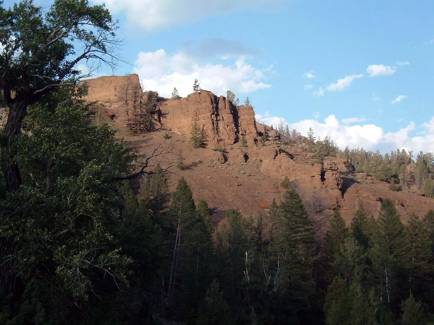
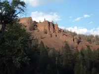
The valley’s Indian name, wapiti, is the elk’s. Grizzly bear, bighorn sheep, moose, and deer live here too, feeding along stream banks, on grassy bench lands, and on brushy slopes. Weathered rock has formed into the shapes called hoodoos. Fourteen historic lodges in the valley take guests by the night, week, or month. Two markers commemorate the Blackwater fire of August 21, 1937, in which fifteen men died fighting an intense forest fire.
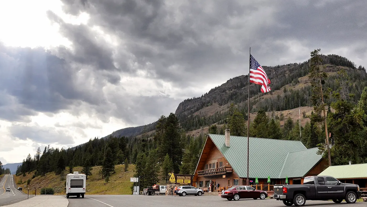
Beneath a sheltering cliff stands Pahaska Tepee, the hunting lodge Buffalo Bill Cody built here, now on the National Register of Historic Places. At the head of the valley the highway enters Yellowstone at the East Entrance, and the byway ends. The road goes on inside the park to Yellowstone Lake, Fishing Bridge, the Grand Canyon of the Yellowstone, and Tower Falls.
Twenty-nine fords and a six-horse team
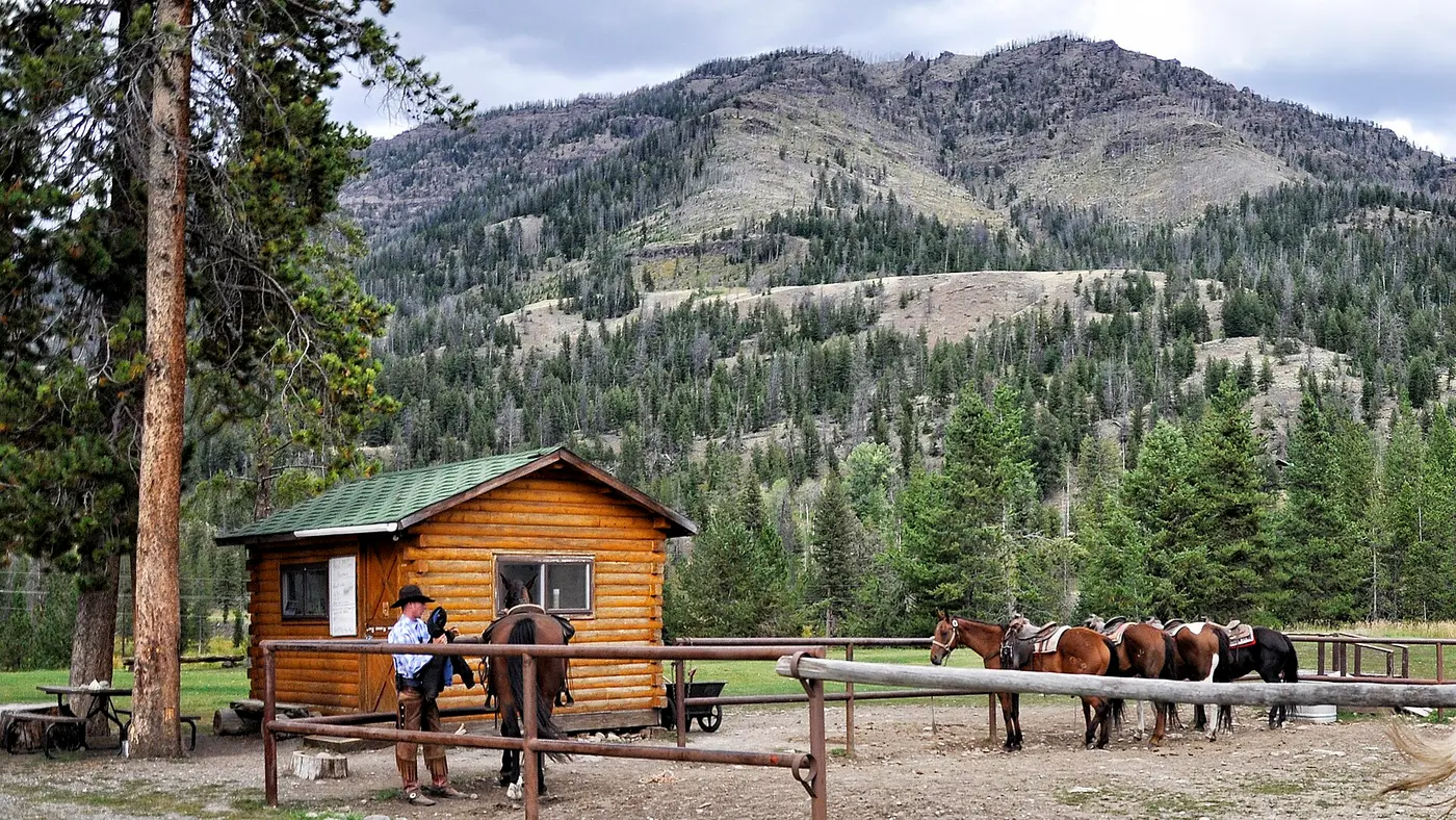
The Forest Service built a forest road to the East Entrance in 1903. Between Cody and Pahaska Tepee, the Powell Tribune reports, travelers had to ford rivers 29 times. From 1906 to 1936 the outfitters and guides Frost and Richard ran tours up the North Fork and into the park. Their tourists rode in twelve-passenger coaches pulled by six-horse teams, and their luggage, tents, and food followed in heavy camp wagons. The first horseless carriages entered the Shoshone National Forest in 1908.
For years, automobiles stopped at the park line. In 1913 M. R. Collins of Douglas, scouting a Denver-to-Yellowstone auto route, had to halt at the east entrance. Yellowstone first admitted automobiles on August 1, 1915. A month later Steve Mather, a millionaire industrialist then helping the Interior Department organize what would become the National Park Service, came to Cody by train with his right-hand man, Horace Albright. Mather took a stagecoach to the east entrance to see how the mix of vehicles was working. Albright later wrote: “We were traveling right along, bumpy and uncomfortable but moving at a pretty good clip, when we came on a string of autos. They were having a terrible time trying to get up a steep grade; the road was just one big muddy mass of ruts. Our stagecoach was passing them neatly.” The cars belonged to the Park-to-Park Highway Association. Albright found it amusing. Mather had pushed to let autos into Yellowstone, and he was embarrassed.
In July 1916 the two men came back, and this time they could go by car without getting stuck in mud. “The road to Yellowstone was amazingly good compared to 1915,” Albright wrote. In Cody, at the Irma Hotel, Mather found two men sleeping in his bed. The next day the party stopped for lunch at Pahaska Tepee, which, like the Irma, belonged to Buffalo Bill. Albright recalled “horrible, greasy, inedible food served by loud, boisterous, grimy, but glitzy waitresses.” The following year, when Buffalo Bill’s Wild West visited Washington, Mather chewed him out for the “sad conditions” of his establishments, and Buffalo Bill vowed to remedy them.
By the 1930s the Bureau of Public Roads had built the North Fork Highway. Teddy Roosevelt’s name attaches to it in two forms. The Powell Tribune has him calling the road between Cody and the park “the most scenic 52 miles in America.” High Country News, in 1997, has him describing it as one of the most scenic stretches of highway in the United States.
The Richard family stayed on the river. Bob Richard, a North Fork historian and author, was born and raised along the highway. His family’s Richard Ranch stood where the Copperleaf subdivision is now. His mother was a NeVille, and he lived for a time on his uncle’s DND Ranch, for Dan NeVille’s Daughter, now part of the Mooncrest Ranch. In December 2025 he gave a free program, with an ice cream social, on the people who owned the guest ranches along the North Fork. It was to begin at Buffalo Bill Dam, run to the Forest Service boundary, and, time allowing, go all the way to Pahaska.
Angelica and a fifty-million-dollar road
By February 1997, High Country News reported, the highway built for the lighter traffic of the 1930s was carrying an average of 1,600 tourists a day to the park. The magazine described the North Fork valley as home to the densest grizzly populations and the most varied wildlife habitat in the Yellowstone area, with eleven Forest Service roadside campgrounds along the river. The U.S. Fish and Wildlife Service recorded 107 bear-human conflicts along the North Fork from 1982 to 1995. In that span biologists trapped and moved nine grizzlies and either killed or shipped to zoos another ten. “The North Fork (of the Shoshone River), without a doubt, poses the highest threat of loss to grizzly bears” in Wyoming, said Dave Moody, who oversaw predators for the Wyoming Game and Fish Department.
State engineers first proposed rebuilding the road in the early 1980s, then dropped the idea over environmental complications. They revived it in 1989, citing accident rates on the shoulderless highway up to three times the Wyoming norm. The plan grew into a $50 million project to widen and straighten the 27.5 miles through the forest. The Forest Service added its aging campgrounds to the plan, and wildlife biologists raised the matter of grizzlies. Barry Davis, then Shoshone National Forest supervisor, announced that the campgrounds would be moved only over his dead body.
The builders cut the planned shoulders from eight feet to six. They raised some bridges so grizzlies could walk beneath them, and planned fences to steer bears around tents. The previous June, Regional Forester Elizabeth Estill had approved the highway on condition that the builders offset roughly 260 acres of big-game habitat the wider road would pave. Highway engineers proposed prescribed burning and selective logging to open new meadows. State biologists wanted conservation easements to keep nearby private land open, and the highway department balked. Late in the previous year, forest supervisor Rebecca Aus threatened to stop work until the state produced an acceptable plan. At about the same time, the agencies found that workers on the first segment had inadvertently blasted tons of rock into the river.
In November the state Transportation Commission voted to cancel further work. “The more we heard about what was happening and what we were dealing with, the more it just made sense to take our money elsewhere,” said commissioner Charles Brown. Cody’s chamber of commerce called a crisis meeting. “Tourism is too important to let a bunch of ‘againsters’ sabotage this project,” said Bud Webster, a Cody car dealer. Chuck Neal, a retired Interior Department grizzly researcher, said the agencies that approved the road “betrayed the public trust.” Jane Roybal, a Fish and Wildlife Service biologist, had pushed without success for provisions to reduce run-ins between bears and people. “We could have seen something besides the devastation up there,” she said.
At the upper end of the corridor, Neal saw bare ground and fill dirt where the best patch of angelica had grown, a low forb grizzlies favor. Across the park line, the federal government was reworking Yellowstone’s own road at the same time. That job, the magazine reported, drew very little criticism, no citizen appeals, and no lawsuits.
Notable Events
- 1891The Shoshone was set aside as part of the Yellowstone Timberland Reserve. fhwaapps.fhwa.dot.gov
- 1903The first and oldest ranger station built in the United States was constructed. dot.state.wy.us
- 1903The Forest Service built a forest road to Yellowstone National Park's East Entrance. powelltribune.com
- 1906Richard's family outfitters and guides conducted tours up the North Fork and into Yellowstone, using twelve-passenger coaches pulled by six-horse teams, with camp wagons carrying baggage and supplies. powelltribune.com
- 1908The first horseless carriages entered the Shoshone National Forest. powelltribune.com
- 1910Buffalo Bill Dam was the highest dam in the world when built and was the first concrete arch dam ever constructed. dot.state.wy.us
- 1915Yellowstone National Park allowed the first cars through its East Entrance. powelltribune.com
- 1916The touring party could take a car instead of a stagecoach without getting stuck in mud; Albright described the road as amazingly good compared with the previous year. wyohistory.org
- 1930sThe highway was built for the lighter traffic of the time. hcn.org
- 1937Fifteen men died fighting an intense forest fire; two markers commemorate the sites. dot.state.wy.us
- 1980sState engineers first proposed reconstruction of the North Fork Highway, then dropped it after finding environmental complications. hcn.org
- 1982The Fish and Wildlife Service recorded 107 bear-human conflicts; biologists moved nine grizzlies and eliminated another ten by killing them or sending them to zoos. hcn.org
- 1989The reconstruction plan was revived, citing accident rates on the shoulderless highway up to three times the Wyoming norm. hcn.org
- Regional Forester Elizabeth Estill approved the highway on condition that builders offset the loss of roughly 260 acres of big-game habitat. hcn.org
- Shoshone National Forest Supervisor Rebecca Aus threatened to stop highway work until state officials supplied an acceptable plan to replace habitat covered by pavement. hcn.org
- The state highway funding board voted to cancel further work amid disputes over compensation for wildlife habitat loss. hcn.org
People
- Buffalo Bill Cody, Built his hunting lodge, Pahaska Teepee, beneath a sheltering cliff along the route.
- Barry Davis, Then Shoshone National Forest supervisor who opposed moving roadside campgrounds.
- Bob Bonds, Environmental coordinator for the highway, concerned about mitigation costs affecting future work.
- Bud Webster, Cody car dealer advocating revival of the highway reconstruction for tourism.
- Charles Brown, Transportation Commission member defending the decision to put highway funds elsewhere.
- Chuck Neal, Retired Interior Department grizzly researcher who criticized the reconstruction's federal approvals.
- Dave Moody, Wyoming Game and Fish Department predator overseer concerned about grizzly losses on the North Fork.
- Elizabeth Estill, Forest Service regional forester who conditionally approved the highway subject to habitat mitigation.
- Jane Roybal, Fish and Wildlife Service biologist who sought provisions to reduce bear-human encounters along the highway.
- Rebecca Aus, Shoshone National Forest supervisor who demanded an acceptable habitat-replacement plan.
- Steve Thomas, Greater Yellowstone Coalition representative seeking changes to the reconstruction project.
- Theodore Roosevelt, The report attributes to him a description of this highway as one of the most scenic stretches in the United States.
- Bob Richard, North Fork historian and author, born and raised along the highway.
- Teddy Roosevelt, The newspaper attributes to him the description of the Cody–Yellowstone road as the most scenic fifty-two miles in America.
- Horace Albright, Mather's traveling companion on the Cody-to-Yellowstone East Entrance stagecoach journey.
- Steve Mather, Traveler who chose a stagecoach for the Cody-to-Yellowstone East Entrance journey.
- William F. “Buffalo Bill” Cody, Owner of Pahaska Tepee, a stop on the touring party's route.
Sources
- travelwyoming.com/places-to-go/destinations/scenic-byways
- codyyellowstone.org/activities/scenic-byways/east-yellowstone-loop
- recreation.gov/gateways/13591
- fhwaapps.fhwa.dot.gov/bywaysp/byway/2166
- dot.state.wy.us/files/live/sites/wydot/files/shared/Planning/Buffalo%20Bill%20-%20Yellowstone%20Country%20Scenic%20Byway.pdf
- travelwyoming.com/listing/buffalo-bill-cody-scenic-byway/204