

.jpg)
Lunar Crater Back Country Byway
Tonopah, Nye County, Nevada. Scenic loop.
Details

- Where
- 1553 South Main Street, Tonopah, NV 89049. Directions
- Season
- Usually passable from late March through October.
- Getting there
- Access the byway via Highway 6, 80 miles west of Tonopah.
- Fees
- No.
- Access
- Normally suitable for two-wheel-drive cars; four-wheel drive may be needed in some spots.
- Phone
- 775-482-7800
- Website
- blm.gov
- Managed by
- Bureau of Land Management - Tonopah Field Office.
- Established
- 1973.
- Coordinates
- 38.478594, -116.054581.
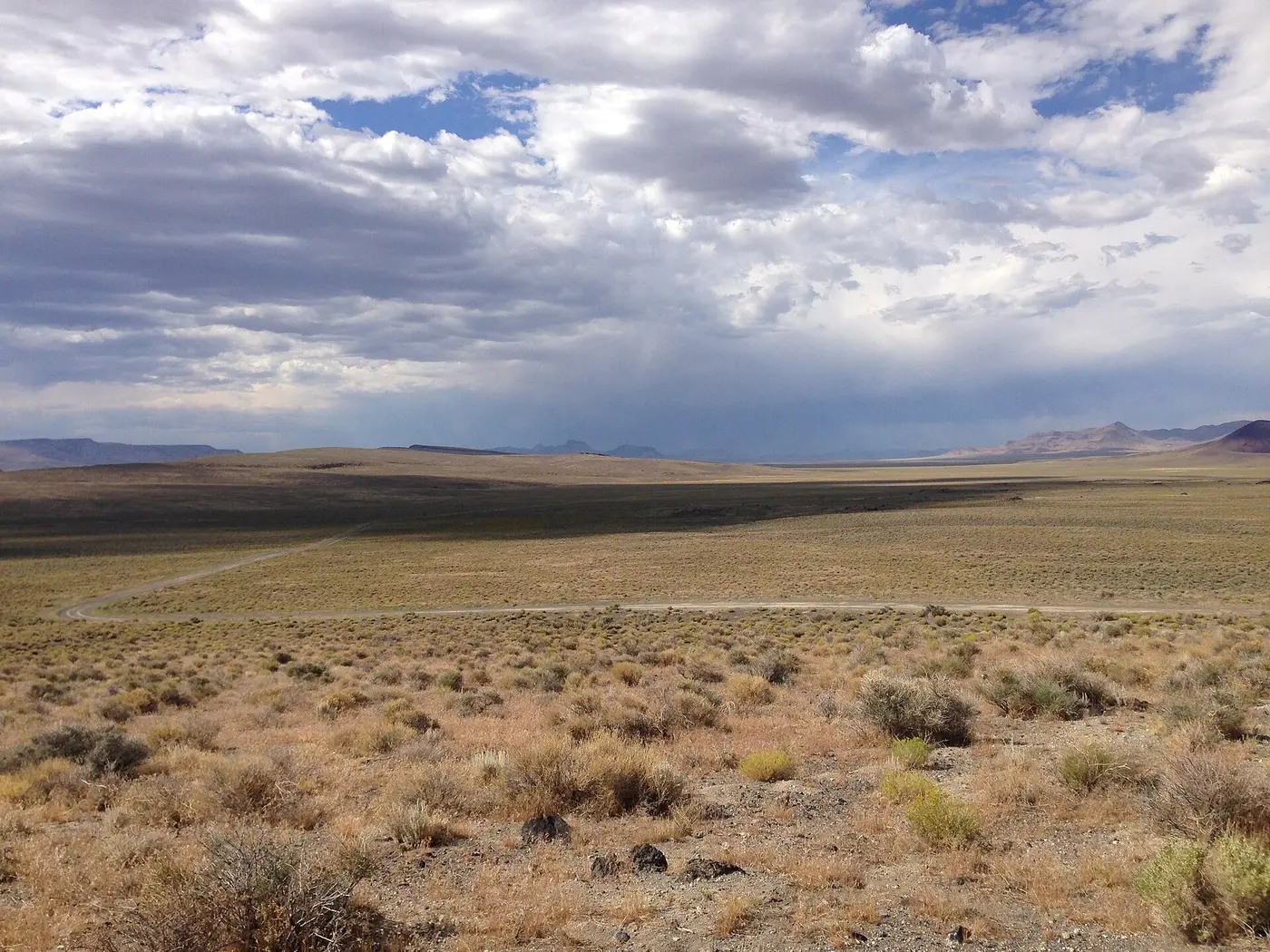
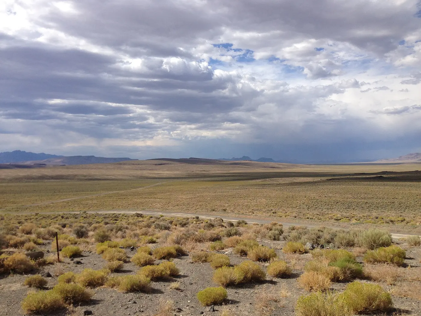
From Tonopah, US Highway 6 runs east toward Ely. Near mile marker 79 a sign on the right marks the turnoff for the Lunar Crater Back Country Byway. Travel Nevada counts 77 miles from Tonopah to the turnoff, or 96 miles southwest from Ely, where it falls on the left. Past the sign the pavement ends. The Bureau of Land Management’s Tonopah Field Office runs the byway as a Type II route, a 24-mile dirt loop that it calls bumpy, and it asks drivers to allow one to two hours. There is no fee. Vehicles must keep to existing roads and trails.
The loop through the caldera
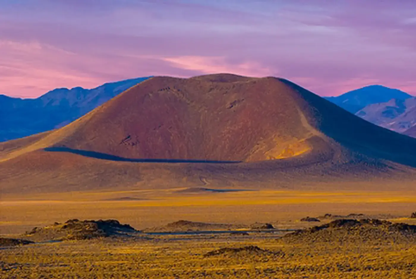
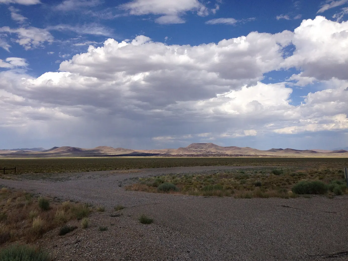
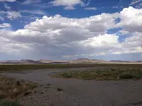
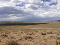
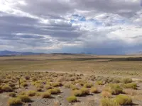
The whole byway lies inside the ancient Lunar Lake caldera, which Nevada Trail Finder describes as a large, partly collapsed volcanic vent. The road crosses a field of cinder cones and basalt flows, with wildflowers and wildlife along the way. Easy Chair Crater is one of the first craters a driver sees. Farther on, the road winds through rock formations to Lunar Crater, where a stopping point lets visitors leave the car and walk out to look.
The sources disagree about how hard the road is. The BLM says portions may need a high-clearance vehicle, and Travel Nevada strongly recommends one for the full loop. Nevada Trail Finder says the route normally suits two-wheel-drive cars, though changing conditions can call for four-wheel drive in some spots. Depending on winter snow, the byway is usually passable from late March through October. The route borders two wilderness study areas, Palisade Mesa and The Wall. Pets are permitted.
The BLM reminds Nevada drivers that cell service is absent across much of the state, gas stations are far apart, and sharp rocks make flat tires common. On Nevada Trail Finder’s list of nearby services, the first entry is the Little A’Le’Inn, 56.5 miles away, which serves coffee and Alienfruit Pie.
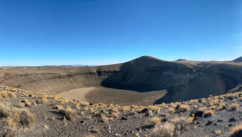
Lunar Crater from the rim
From the rim of Lunar Crater, twenty extinct volcanoes stand in the nearby hills, and the view opens across the surrounding basins and mountain ridges. Travel Nevada adds the old lava beds along Highway 6 to the north.
The crater is a maar. The Nevada Bureau of Mines and Geology explains that a maar forms when magma rising from deep within the earth violently boils the groundwater and throws volcanic bombs, pieces of lava, onto the surface. The blast often leaves a circular hole that later fills with a lake. At Lunar Crater the groundwater lies too deep for a lake to form.
The published measurements vary. A BLM Junior Ranger booklet gives the crater as about 426 feet deep and 3,444 feet wide. Travel Nevada puts the depth at 430 feet and calls it the largest natural crater in the state. A 1971 U.S. Geological Survey report gives the vent as about 3,800 feet across. The National Park Service registry describes a 400-acre depression, one of two maars in the volcanic field of the Pancake Range.
Travel Nevada says the crater takes its name from its likeness to craters on the moon. The USGS is more specific: the floor sits distinctly lower than the surrounding ground and the rim slightly higher, as with the great majority of lunar craters. The state tourism page also plays on the idea of a stranger origin. It dares visitors to try “eyeing down little green men,” then admits that Lunar Crater “wasn’t formed by a UFO or even a meteor (it’s volcanic).” The same page notes that the atomic blasts at the Nevada National Test Site took place to the south.
Black Rock Lava Flow
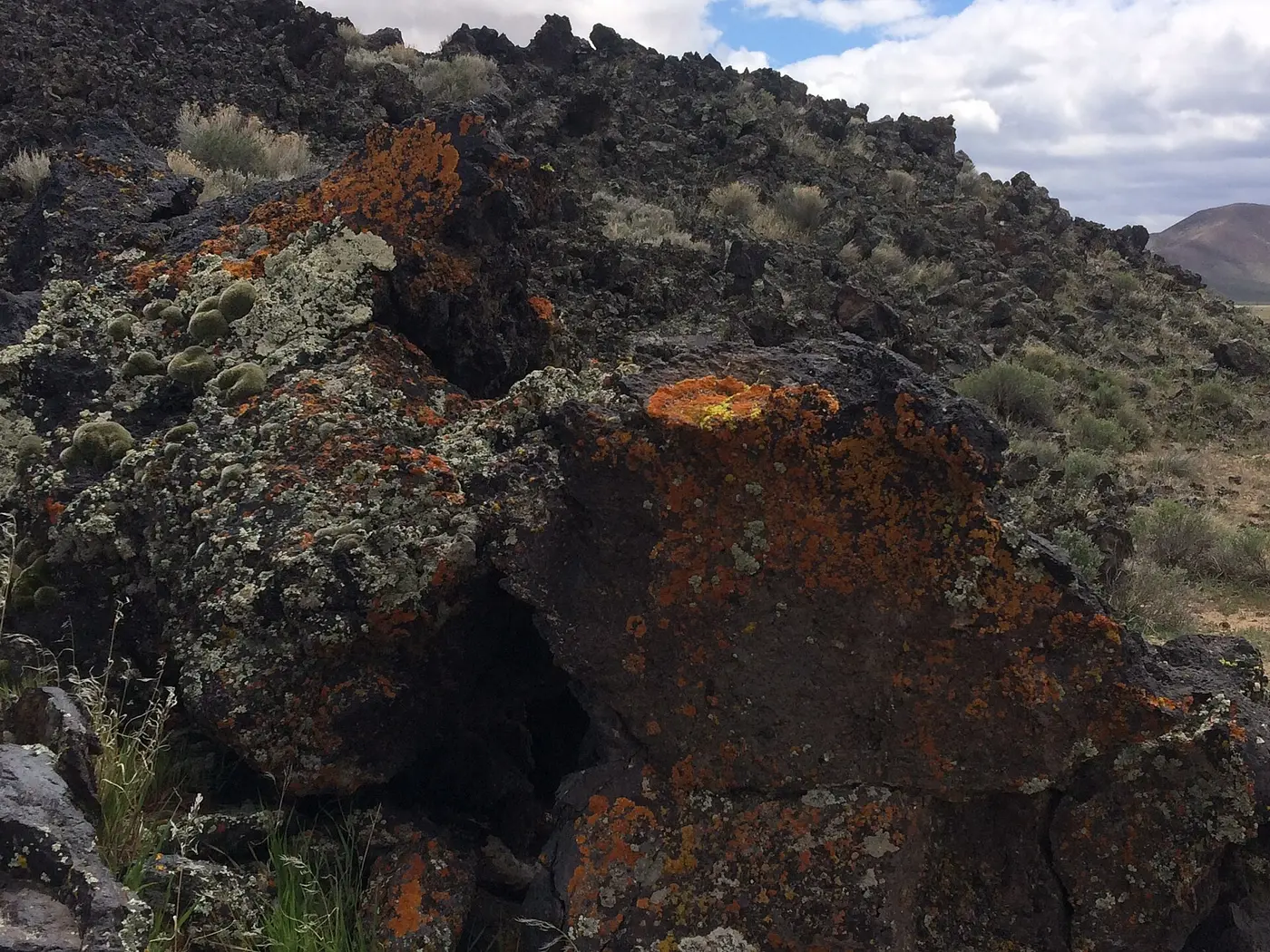
After returning to the main road, the byway crosses US 6 and follows an unpaved spur 1.5 miles north to the base of the Black Rock Lava Flow, where the BLM has put up a sign. The lava covers about 1,900 acres. Nevada Trail Finder calls it perhaps the youngest flow of its type in the western continental United States.
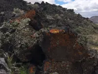
The Nevada Bureau of Mines and Geology describes the flow as Quaternary, less than 1.8 million years old. It came from the same vent that built the cinder cone rising behind it. The rock is basalt. Crystals sit embedded in the stone and loose in the sand around it: olivine and its gem variety peridot, clinopyroxene, hornblende, plagioclase, anorthoclase, and magnetite. Some are several centimeters long. The bureau warns that the rocks of the flow are sharp and sometimes loose, and it advises sturdy boots and gloves.
Geologists and astronauts in the Pancake Range
The volcanic field lies in the southern Pancake Range, about midway between Ely and Tonopah. According to the USGS, its cones, craters, and flows cover more than 100 square miles. More than fourteen research papers have studied it, much of the work done in the 1960s and 1970s for the space program, so that astronauts could recognize similar features on the moon.
One of those papers, Geology of the Lunar Crater Volcanic Field, Nye County, Nevada, by David H. Scott and N. J. Trask, appeared in 1971 as a USGS professional paper. It was prepared on behalf of NASA under contract No. R-66, and H. G. Wilshire of the Survey visited the field with the authors. They traced three episodes of volcanism separated by quiet spells. Many vents line up along fissures and faults running about N. 30° E., and some cones measure about a mile across, with rims more than 500 feet above their bases. The absolute age of the volcanism was not known. Scott and Trask counted fresh black ash on crater rims and bare flows without soil or plants among their signs that some eruptions may be very young. Their abstract states it plainly: “All the features in the Lunar Crater volcanic field have analogs on the moon.”
Travel Nevada reports that the area was classified as an official Terrestrial Analogue Site. Astronauts trained there in the 1970s, collecting rock samples and practicing checklist procedures in full gear. In September 1972, on one of NASA’s field trips to Lunar Crater, Apollo 17 commander Gene Cernan and lunar module pilot Harrison Schmitt stood in the Pancake Range examining a rock sample. Eight months later, on May 31, 1973, the Secretary of the Interior approved Lunar Crater as a National Natural Landmark, on the same day as two other Nevada sites, the Ichthyosaur Site and Timber Mountain Caldera.
Notable Events
- 1960sThe volcanic features of the Lunar Crater Volcanic Field became the focus of more than fourteen scientific research papers, much of it done as part of studies connected to the United States' space program to help astronauts identify similar features on the lunar landscape. nvtrailfinder.com
- 1970sLunar Crater and its surrounding smaller craters are so much like the landscape of the moon that the area was classified as an official Terrestrial Analogue Site, authentic enough for astronauts in the 1970s to train there in preparation for an actual lunar mission. travelnevada.com
- 1972Apollo 17 lunar module pilot Harrison Schmitt and commander Gene Cernan examined a rock sample in Central Nevada's Pancake Range during geology training in September 1972, on one of the NASA field trips to Lunar Crater outside Tonopah. reviewjournal.com
- 1973The Secretary approved Lunar Crater as a National Natural Landmark on May 31, 1973. nps.gov
People
- Gene Cernan, Apollo 17 commander who took part in the September 1972 geology training in Central Nevada's Pancake Range at Lunar Crater (September 1972).
- Harrison "Jack" Schmitt, Apollo 17 lunar module pilot who took part in the September 1972 geology training in Central Nevada's Pancake Range at Lunar Crater (September 1972).
- D. H. Scott, Coauthor of the 1971 USGS report Geology of the Lunar Crater volcanic field, Nye County, Nevada (1971).
- N.J. Trask, Coauthor of the 1971 USGS report Geology of the Lunar Crater volcanic field, Nye County, Nevada (1971).
Sources
- blm.gov/programs/recreation/recreation-programs/byways/nevada
- blm.gov/visit/lunar-crater-back-country-byway
- blm.gov/office/tonopah-field-office
- nvtrailfinder.com/trails/trail/lunar-crater-back-county-byway
- blm.gov/visit/lunar-crater
- nps.gov/subjects/nnlandmarks/1973-nnl-designations.htm
- nbmg.unr.edu/scienceeducation/earthcaches/BlackRockLavaFlow.html
- usgs.gov/publications/geology-lunar-crater-volcanic-field-nye-county-nevada