Swimming holes in California
Swimming holes in California, each compiled from its own sources: access, legality, water season, and the walk in. No ratings; every entry carries its status.
Point at a dot to see the place.Tap a dot to see the place. Road map of California.
- Auburn State Recreation AreaAuburn · CA state parkA state recreation area along forty miles of the North and Middle Forks of the American River near Auburn, California, on land set aside for a dam begun and never finished.
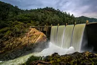
- Blue Hole River AccessSomes Bar · Swimming holeA Forest Service river access on the lower Salmon River near Somes Bar, California, where a short trail drops to a sandy beach and a very deep swimming hole.
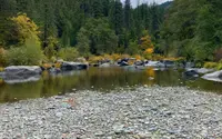
- Brannan Island State Recreation AreaRio Vista · State recreation areaServes as an entryway to the Sacramento-San Joaquin Delta, with opportunities for camping, boating, swimming, walking, and great fishing.
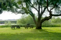
- D. L. Bliss State Park (Lester Beach)South Lake Tahoe · State parkA California state park on Lake Tahoe's west shore just north of Emerald Bay, with two swimming beaches, a 130-ton balanced granite rock, and a lighthouse first lit about 1919.
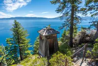
- Del Valle Swim BeachesLivermore · Regional park with two swimming beachesTwo lifeguarded swim beaches on Lake Del Valle, a State Water Project reservoir south of Livermore, California, whose level rises for summer and drops each autumn.
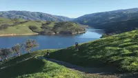
- Diana Pools/Diana FallsGroveland · Swimming holeA cliff-walled swimming hole on the North Fork of the Merced River in Stanislaus National Forest, reached by a flat 1.4-mile trail and fed by a waterfall of roughly 20 feet.
- Folsom Lake State Recreation Area swim areasFolsom · State recreation areaFive named swim beaches on Folsom Lake and Lake Natoma east of Sacramento, one of them facing the dredged-over site of a Gold Rush camp worked by Black miners.
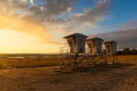
- Gallatin Beach, Eagle LakeSusanville · Day use area near aspen campgroundA free sand beach on the pine-forested south shore of Eagle Lake in Lassen County, California, named for the family whose 1913 summer house still stands nearby.
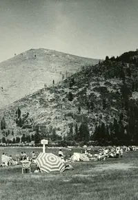
- Jones Beach Picnic and River AccessFort Jones · Nice day use area with a small beach along the scott river.Nice day use area with a small beach along the Scott River. Popular for swimming, water play and fishing.
- Kings Beach State Recreation AreaKings Beach · Day-use only areaKings Beach State Recreation Area features 979 feet of beautiful frontage property along the North Shore of Lake Tahoe. This day-use only area has a large sandy beach and multiple picnic tables under the shade of Jeffery pines.
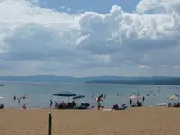
- Medicine Lake swim beachMedicine Lake · Designated swimming areaThe popular Medicine Lake Recreation Area and adjacent Medicine Lake are located in the Medicine Lake Highlands in northeastern California. The Recreation Area is located in the Modoc National Forest at an elevation of 6,770 feet.
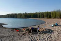
- Rainbow Pool Day Use AreaGroveland · Day use areaAlong Highway 120 at the South Fork Tuolumne River bridge. Originally a toll stop in the stagecoach days, later a popular resort until 1958 when fire burned the resort. Now, a popular picnic area. Vault toilets, limited parking.
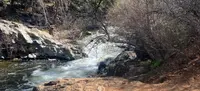
- Red Rock PoolsSanta Barbara · Swimming holes on the santa ynez riverRed Rock / Gibraltar trail is accessed from this parking lot; from the main trailhead it is about 0.5 miles to the main Red Rock pools, and the trail continues towards Gibraltar dam as about a 7-mile loop.
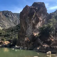
- Shadow Cliffs Swim BeachPleasanton · Regional recreation areaA haven for swimming and fishing can be found at Shadow Cliffs, only a mile from downtown Pleasanton on Stanley Boulevard.
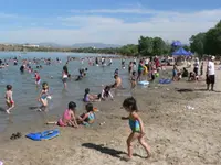
- Silverwood Lake State Recreation AreaHesperia · State recreation areaHigh in the heart of the San Bernardino National Forest and formed by Cedar Springs Dam, the highest reservoir in the State Water Project offers views of snow-capped mountain peaks and features hiking trails, swimming beaches and designated areas for boating, waterskiing and fishing.
- South Yuba Recreation AreaNevada City · Accessible swimmingThe South Yuba Recreation Area and National Trail is located approximately 10 miles northeast of Nevada City, California.
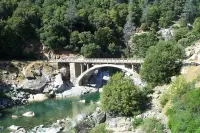
- Stoney Creek Swim AreaWeaverville · Swimming and picnic areaLocated on the Stuart Fork Arm of Trinity Lake, 14 miles north of Weaverville on State Route 3; a popular swimming and picnic area with a beach, two picnic sites with brick patios, tables, pedestal grills, a paved path to the beach and a paved parking lot.
Swimming Holes in all eleven states; next door in Oregon and Arizona.