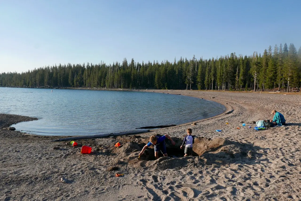
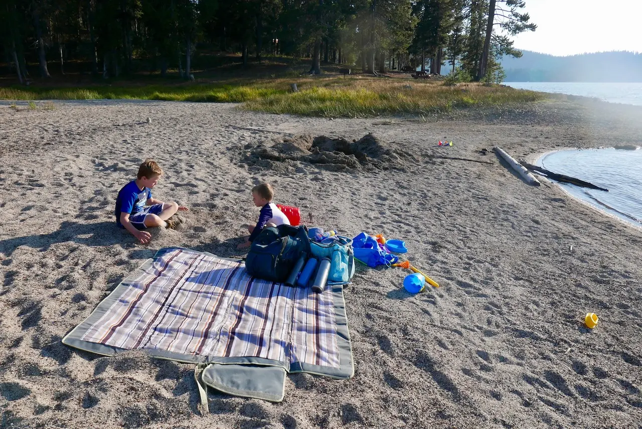
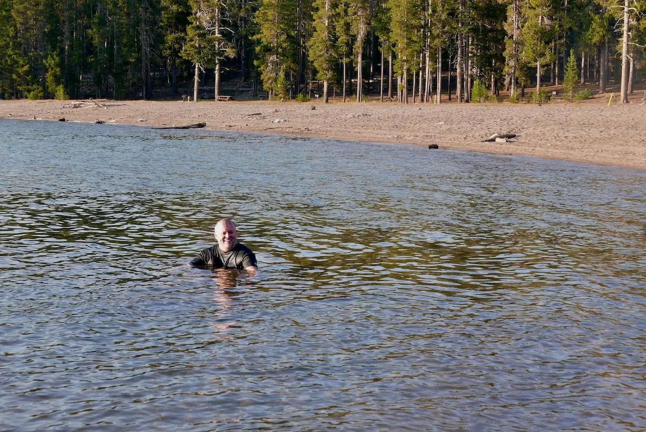
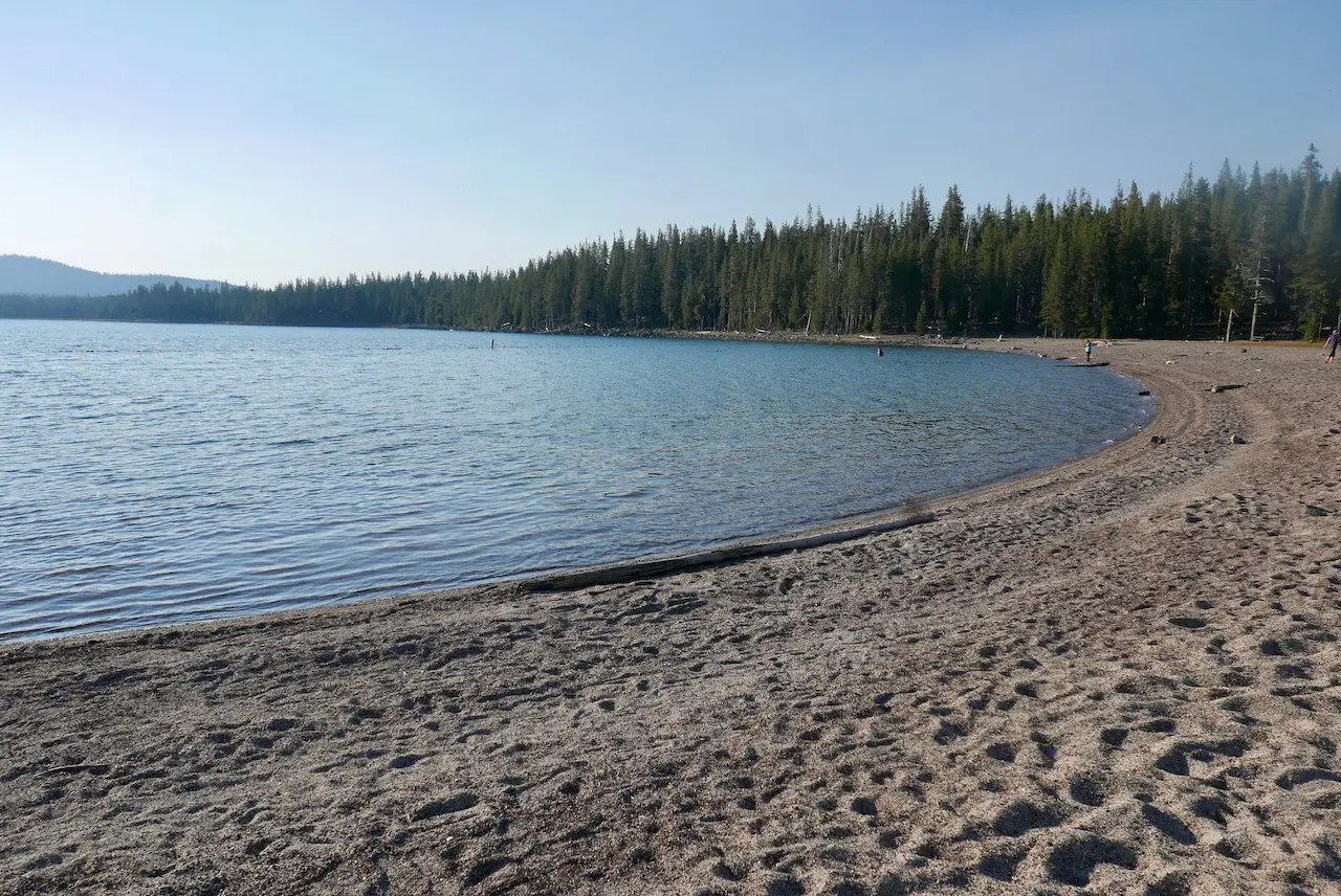
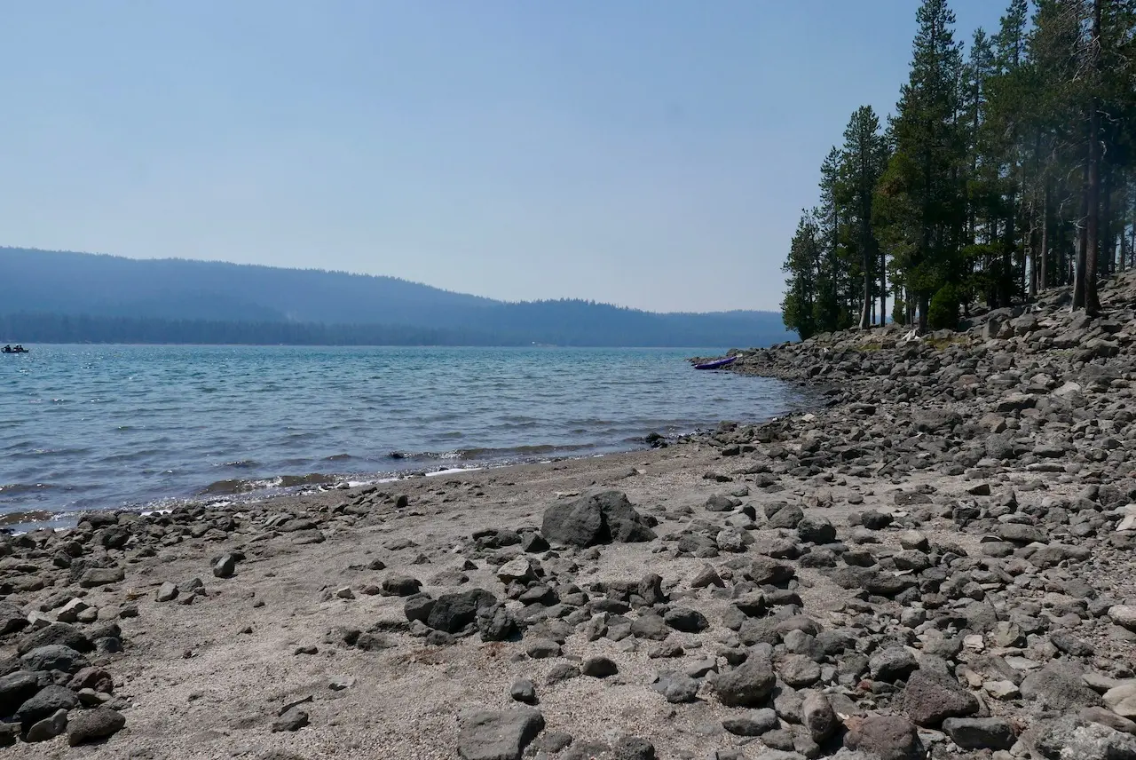
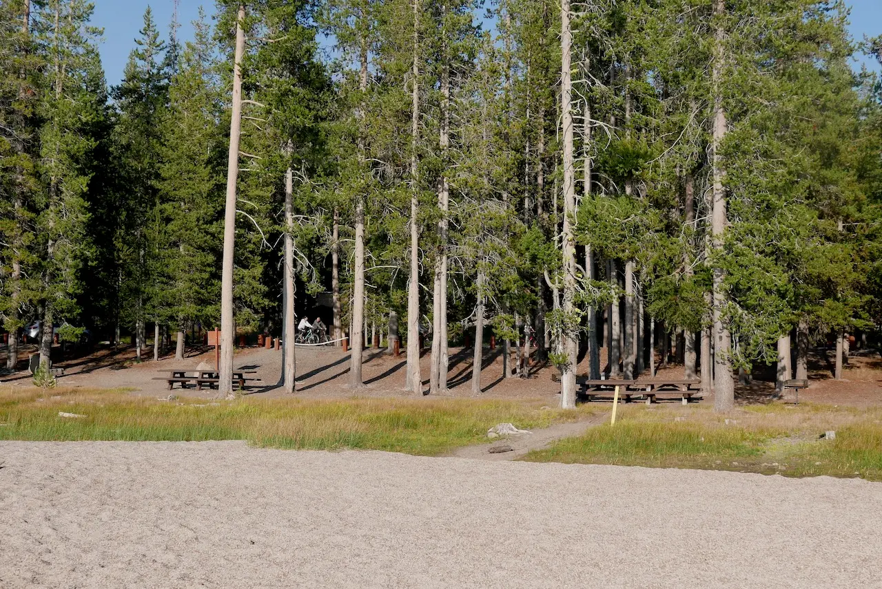
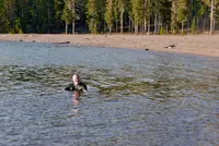
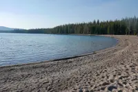
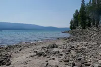
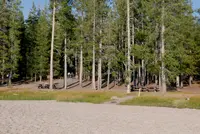
Medicine Lake swim beach
Medicine Lake, Siskiyou County, California. Designated swimming area.
Details

- Where
- Medicine Lake, Siskiyou County, CA. No street address stated. Directions
- When
- The day use area closes at 10 pm.
- Season
- Traditionally open from July 1st - October.
- Getting there
- From Tulelake take US Hwy 139 south for 21 miles to Forest Service Road 97. Turn right on Road 97 and go 24 miles turning right on Road 49. Drive 2 more miles turning left into the entrance of Medicine Lake Recreation Area.
- Fees
- $5/vehicle for boat ramp and swim beach day use area.
- Access
- Last updated October 1, 2026; Site Open.
- Phone
- (530) 233-5811
- Managed by
- Doublehead Ranger District.
- Coordinates
- 41.58584, -121.58557.
The popular Medicine Lake Recreation Area and adjacent Medicine Lake are located in the Medicine Lake Highlands in northeastern California. The Recreation Area is located in the Modoc National Forest at an elevation of 6,770 feet.
Notable Events
- 1965NASA used Pumice Crater to train Apollo astronauts in collecting and identifying lunar-like geology. fs.usda.gov
- 1999A portion of Sáttítla was designated as a Traditional Cultural Property District. fs.usda.gov
- 2025President Biden announced the designation of Sáttítla Highlands National Monument. fs.usda.gov
- The area contains evidence of human occupancy dating back at least 5,000 years. fs.usda.gov
Sources
- fs.usda.gov/r05/modoc/recreation/medicine-lake-recreation-area
- facebook.com/ModocNF
- fs.usda.gov/r05/modoc/recreation/medicine-lake-recreation-area
- usgs.gov/volcanoes/medicine-lake/science/geology-and-history
- usgs.gov/volcanoes/medicine-lake/science/geology-and-history-medicine-lake
- usgs.gov/volcanoes/medicine-lake/science/medicine-lake-caldera
- fs.usda.gov/visit/national-monuments/sattitla-highlands-national-monument