Folsom Lake State Recreation Area swim areas
Folsom, Sacramento County, California. State Recreation Area.
Details

- Where
- 7755 Folsom-Auburn Road, Folsom, CA 95630. Directions
- When
- The park closes 30 minutes after sunset this summer!
- Season
- Visitation is highest from April through September.
- Getting there
- Folsom Lake State Recreation Area is located in the Sierra-Nevada foothills about 25 miles east of Sacramento, can be reached via either Highway 50 or I-80. Both Folsom Lake and Lake Natoma have many access points and entrances.
- Fees
- Boat Launch $10.
- Access
- California State Parks is alerting the public that the Central Valley Regional Water Quality Control Board (RWQCB) has identified elevated levels of E. coli bacteria at Willow Creek Day Use Area, Nimbus Flats and Black Miners Bar Day Use Beach within Folsom Lake State Recreation Area.
- Phone
- (916) 988-0205
- Website
- parks.ca.gov
- Managed by
- California State Parks.
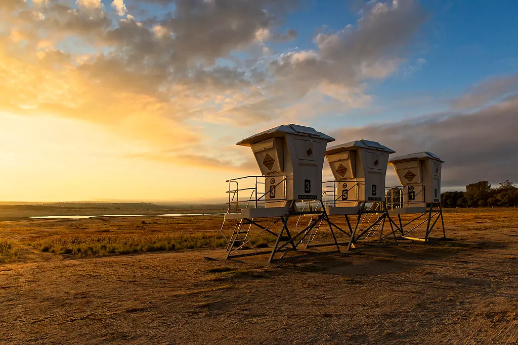
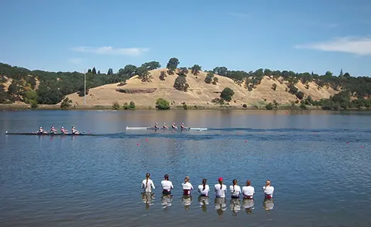
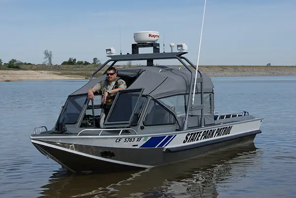
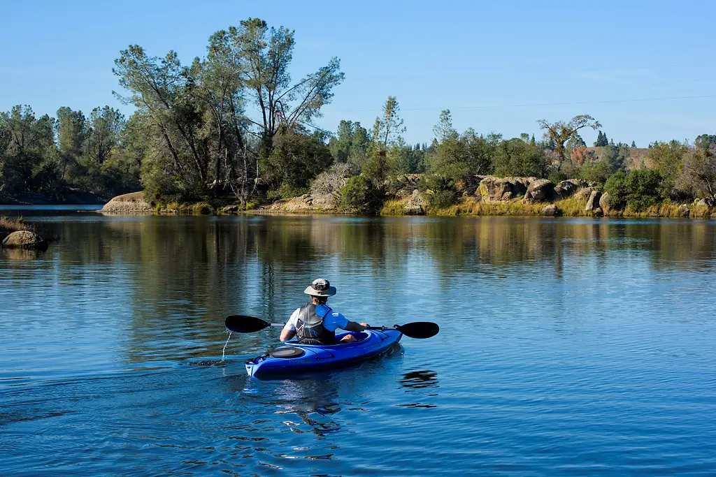
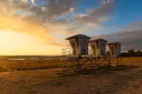
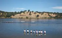
On Lake Natoma, the smaller water below Folsom Dam, a lifeguard tower over the beach at Black Miners Bar carries the day-use area’s name. The bar lies at the north end of the lake. A 5-mph limit holds on the whole surface, and the boats are crew shells, sailboats, kayaks and paddleboards. Comstock’s magazine reported in June 2026 that in summer the lake becomes “a kaleidoscope of color from the bright watercraft,” and that the day-use area draws more than 250,000 visitors a year.
Beaches on two lakes
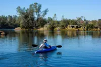
Black Miners Bar is set up for families and for boats. Two group picnic sites each hold six tables, a large buffet table, a shade ramada and a barbecue station beside flush toilets. Kayaks go in from the shore year-round, and the renovation that began in 2020 added benches, grills, shaded areas, and kayak and paddleboard rentals. KQED described the ground as tree-laden, home to birds, squirrels and snakes in every season. Judy Farah, writing in Comstock’s, paddled from this shore with her grandson to a sandy spot in the cove. She looked down into clear water and saw flecks of gold in the sand. “Is there still gold in these hills? Yes,” the Sacramento historian Eric Webb told her. “Storms, development like the Folsom Dam and Sierra snowmelt are still unearthing it and pushing it downstream through the rivers and lakes.”
The park lists four other named swim areas: Beals Point, Granite Bay, Willow Creek and Nimbus Flat. Upstream, Folsom Lake covers some 10,000 surface acres when full. It reaches about 15 miles up the North Fork of the American River and 10 1/2 up the South Fork, and its level normally falls from 466 feet in early summer to 426 feet in early winter. Granite Bay’s Main Beach fronts that lake and has two group picnic sites of eleven tables each. Dogs are allowed on trails and in the water elsewhere in the park, but they are kept out of the swim areas at Beals Point, Granite Bay, Nimbus Flat and Black Miners Bar, and off the turf at Nimbus Flat.
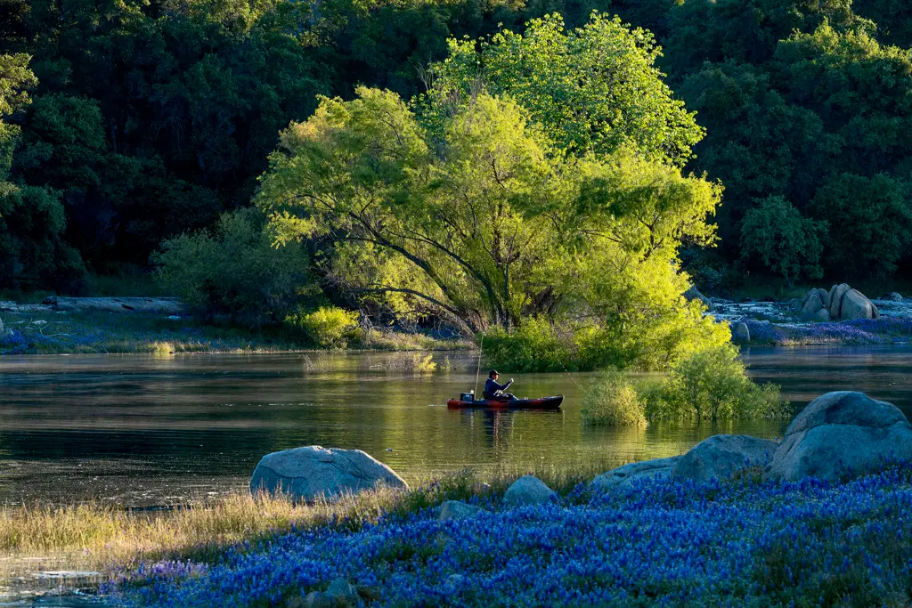
Summer temperatures here run in the 80s, 90s and 100s, and visitation peaks from April through September. A standing park notice says aquatic recreation of all kinds accounts for two-thirds of all visitor activity. Through October 31 the swim-area gates open at 6 a.m. and close half an hour after sunset. People fish both lakes for trout, catfish, largemouth and smallmouth bass, and perch.
The water in summer 2026
On July 1, 2026, California State Parks posted a health alert. Samples taken in late June by the Central Valley Regional Water Quality Control Board showed elevated E. coli near shore at the Willow Creek Day Use Area, Nimbus Flats and the Black Miners Bar Day Use Beach. The alert cited “elevated E. Coli testing levels at Lake Natoma.” The board and State Parks were also watching Folsom Lake for cyanobacteria, the organisms behind harmful algal blooms. The advice was plain: drink from no waterbody, keep swimming with open wounds out of it, shower afterward, and wash dogs in clean water, since dogs may eat algae clumps or drink large amounts of lake water. Testing was to continue weekly through the summer.
A gravel bar on Leidesdorff’s grant
From the Black Miners Bar picnic tables, the view runs south across the lake to the far bank, where State Parks says a Gold Rush settlement stood and dredge piles still show. In 1844 that ground lay within Rancho Rio de los Americanos, a Mexican land grant of 35,000 acres along the American River. It was held by William Alexander Leidesdorff, a West Indian immigrant and ship captain of Afro-Caribbean, Danish and Jewish descent. Comstock’s reports that he was born on St. Croix in 1810 and died of what was called “brain fever” in 1848, at 38, never knowing there was gold on his land.
The record of who found it rests on an 1850 newspaper article about gold found by “some colored gentleman” on the south bank of the lower river. State Parks dates that find to 1848 on its renaming page and to the year before the article in a 2026 blog post. The State Parks marker at the bar puts it in 1849, while the constitutional convention was debating whether California would enter the Union free or slave. The Folsom Telegraph called the place one of the earliest recorded locations worked by African American gold miners. It said the gravel bar, just west of Folsom’s Rainbow Bridge, yielded a steady run of coarse gold dust for a few years.
Accounts of the camp’s size differ. The 1850 census and election returns of the 1850s give it 500 to 600 residents. State Parks and Comstock’s describe a town of up to 700, with a hotel, a store and a blacksmith. The Telegraph, citing local history documents, describes a smaller collection of tents and cabins, unlike the mining towns of the movies. Zakary Adams, a State Parks interpreter, called it “a pop-up,” supplied by gold.
The origin of the name Negro Bar is also disputed. State Parks lists three candidates: the miners in the 1850 article, Leidesdorff’s partly Black ancestry, and the Spanish word for black applied to the dark sand along this stretch of river. Comstock’s credits the engineer Theodore Judah with fixing the name in 1854 on his map for the Sacramento Valley Railroad.
The gold went quickly. Comstock’s reports that placer miners had cleared the bar by 1851. Most of the Black miners had gone by 1852 to camps higher up known as Negro Hill, Little Negro Hill, Negro Flat and Massachusetts Flat. White and Chinese miners followed them at the bar. In 1852 the state passed its own fugitive slave law. Even so, the marker at the west end of the day-use area counts about 2,000 free Black people living in California that year. It records that Darius King opened an express office and bookstore at Mormon Island in June 1854, with a daily courier between Sacramento, Negro Bar and Mormon Island. In 1870, it says, the Folsom paper noted that William Boswell, Harry Gibson and Milton Rose took part in the city’s July 4th celebration of the ratification of the 15th Amendment.
Dredges, a dam and a slur on a map
Folsom rose above the floodplain and the river camp was left “under the hill.” Capt. Joseph Folsom bought the Leidesdorff land from Leidesdorff’s mother, Anna Marie Sparks, for $75,000 and named it Granite City. He too died at 38, and in 1856 the executors of his estate renamed the town Folsom. Hydraulic mining upstream, begun in 1853, sent sediment down onto the bar. Bucket-line dredging began at Folsom in 1898, and most of the companies merged into Natomas Consolidated of California in 1908. In 1916, eleven dredges in the district took out more than $2 million in gold. Dredge tailings covered the townsite early in the century, and the last dredge in the district shut down in February 1962.
Sources disagree on where the townsite lies now. The Telegraph places the old camp under Lake Natoma. Comstock’s places it beneath the City of Folsom’s corporation yard beside the lake. State Parks says outlines of some structures can still be made out under the dredged soil. Among the dirt piles stands a lone pear tree that may be left from the town’s orchard.
The name drifted too. A 1922 U.S. Geological Survey map moved the townsite across the river to the north bank, where the day-use area is now, and replaced its name with a racial slur. Maps returned to Negro Bar only in 1955, when the bar became part of the new state recreation area. The Army Corps of Engineers built Folsom Dam. The Bureau of Reclamation’s record dates construction to 1948–1956, and State Parks dates the lake to 1955. Nimbus Dam, seven miles downstream, holds back Lake Natoma as an afterbay. Under Folsom Lake went the remains of Mormon Island and Negro Hill. Before the flooding, the Corps moved their graves to the Mormon Island Cemetery in El Dorado County.
Renaming the bar
In 2018 Phaedra Jones of Stockton was making a food delivery near the park when she saw its name. She started an online petition that gathered 60,000 signatures. State Parks began holding public meetings that year, and in 2020 it launched its Reexamining Our Past initiative on contested place names. The response was divided. The historian Michael Harris, chair of the Friends of Negro Bar, argued for the old name. “Let me get my slingshot, because this is gonna be a David and Goliath story,” he told Comstock’s. “You’re not going to erase history.”
On June 17, 2022, the California State Park and Recreation Commission voted unanimously for a temporary name, Black Miners Bar. “There’s no going back, it’s only forward from here,” said the commission’s chair, Rue Mapp. The sign was freshly painted that summer. Harris told KQED the new name narrowed the story: “Some people, they want to use 2022 nomenclature and ideas and values to talk about an 1848 story.” Other names under discussion have included Black Freedom Bar, Freedom Bar, Leidesdorff Bar and Historic Negro Bar. State Parks wrote in February 2026 that the debate over a final name was still going on. Local historians told Comstock’s that some visitors take the new name to mean a mine for black rock, after the Teichert quarry nearby.
The day-use area holds Folsom’s Juneteenth celebration, the fifth annual in 2026. “There were black settlers during the Gold Rush,” Adams said. “They made a difference. They existed.”
Notable Events
- 1848Black miners found gold at this location. parks.ca.gov
- 1850The U.S. census of 1850 counted 500 to 600 residents at the site where Black Miners Bar is now. kqed.org
- 1851Negro Bar and other mining spots along the American River were cleared of gold through placer mining. comstocksmag.com
- 1852Most African American miners had departed by 1852, moving to camps higher in the region known as Negro Hill, Little Negro Hill, Negro Flat and Massachusetts Flat. goldmountaincanews.com
- 1853Hydraulic mining, invented in 1853, blasted out hidden gold upstream and sent sediment carried by the river down to the Negro Bar area. comstocksmag.com
- 1854Engineer Theodore Judah named the place Negro Bar when he created a map for the Sacramento Valley Railroad. comstocksmag.com
- 1854Darius King opened an express office and bookstore at Mormon Island, running a daily courier service to historic Negro Bar. hmdb.org
- 1856Capt. Folsom had named the land Granite City; after his death the executors of his estate changed the town's name to Folsom. comstocksmag.com
- 1898Bucket-line dredging began at Folsom and soon became a major industry. explore.museumca.org
- 1916Eleven active dredges worked the Folsom district and yielded more than $2 million worth of gold. explore.museumca.org
- 1922A U.S. Geologic Service map moved the townsite across the river to the current day-use area on the north bank and changed its name to a racial slur. castateparks.wordpress.com
- 1948The Bureau of Reclamation facility record dates original construction to 1948-1956. usbr.gov
- 1955USGS maps returned to the name Negro Bar, coinciding with the area becoming part of the newly founded state recreation area. castateparks.wordpress.com
- 1955The remnants of Mormon Island and Negro Hill were buried underwater when Folsom Dam was built; before the flooding the Army Corps of Engineers relocated graves to Mormon Island Cemetery. comstocksmag.com
- 1956The completion of Folsom Dam transformed the lower American River landscape, providing water, power and flood control. castateparks.wordpress.com
- 1962Dredging faded until only a single dredge was active, and it was shut down in February 1962. explore.museumca.org
- 2018State Parks began working on requests to consider a name change, holding public meetings and inviting email comments. castateparks.wordpress.com
- 2018Phaedra Jones of Stockton, outraged by the park's name seen on a food delivery, started an online petition that gathered 60,000 signatures. comstocksmag.com
- 2020State Parks launched its Reexamining Our Past initiative to reexamine contested place names, monuments and interpretation in the state park system. castateparks.wordpress.com
- 2020State parks began a multi-year, multi-million dollar renovation of Black Miners Bar, which had fallen into disrepair and abuse. comstocksmag.com
- 2022The commission voted unanimously to change the day-use area's name temporarily from Negro Bar to Black Miners Bar. parks.ca.gov
People
- Capt. Joseph Folsom, U.S. Army officer who bought the Leidesdorff land from Anna Marie Sparks for $75,000 and named it Granite City.
- Eric Webb, Retired Sacramento County Library worker who wrote about local history in his book Lost Gold Rush Towns of Sacramento.
- Michael Harris, Historian and chair of the Friends of Negro Bar community group (2022).
- Theodore Judah, Engineer who named the place Negro Bar when he created a map for the Sacramento Valley Railroad (1854).
- William Alexander Leidesdorff, Recipient of the Rancho Rio de los Americanos land grant (1844).
- Captain J. L. Folsom, Quartermaster of Stevenson's Regiment, for whom the town of Folsom was named.
- T. D. Judah, Laid out the present town of Folsom for the Sacramento Valley Railroad (1855).
- Darius King, Opened an Express Office and bookstore at Mormon Island, with a daily courier service between Sacramento, historic Negro Bar and Mormon Island (1854).
- Harry Gibson, One of three well-known Black residents of Folsom named on the marker (1870).
- Milton Rose, One of three well-known Black residents named on the marker as taking part in the city's July 4th celebrations commemorating the ratification of the 15th Amendment.
- William Boswell, One of three well-known Black residents of Folsom named on the marker (1870).
- Susan D. Anderson, History Curator and Program Manager at the California African American Museum and one of the lead researchers on the Black Miners Bar project.