.jpg)
Del Valle Swim Beaches
Livermore, Alameda County, California. Regional park with two swimming beaches.
Details

- Where
- 7000 Del Valle Road, Livermore, CA 94550. Directions
- When
- Lifeguards on Duty, 11am - 6pm.
- Season
- Del Valle East and West Beach: Weekends and Holidays: May 16–Sept. 27.
- Getting there
- On Del Valle Road off Mines Road south of Livermore; exit I-580 in Livermore at North Livermore Avenue.
- Fees
- Parking: $5 per vehicle. Flat Entry Fee $10 on weekends and holidays, April through Labor Day.
- Access
- Year-round swimming is allowed without lifeguard service north of the boat ramp. East Swim Beach: a Caution Advisory for blue-green algae is posted. West Swim Beach: there is currently no water at the West Swim Beach due to low water levels at the Lake. Golden mussels have been detected in Lake Del Valle; boats are quarantined 30 days from all other waterbodies managed by the Park District.
- Managed by
- East Bay Regional Park District.
At the East Swim Beach on Lake Del Valle, a sign built like a traffic signal tells swimmers what the water held at the last test. The East Bay Regional Park District samples two sites on each of its two beaches here. It tests weekly from April to October and twice a month from November to March, working with the Alameda County Environmental Health Department under the state’s guidance for freshwater beaches. The signal reports both the bacteria counts and the blue-green algae. In early October 2026 the East Beach carried a Caution Advisory for algae. The West Swim Beach had no reading at all: the district reported no water there, because the lake had dropped below it.
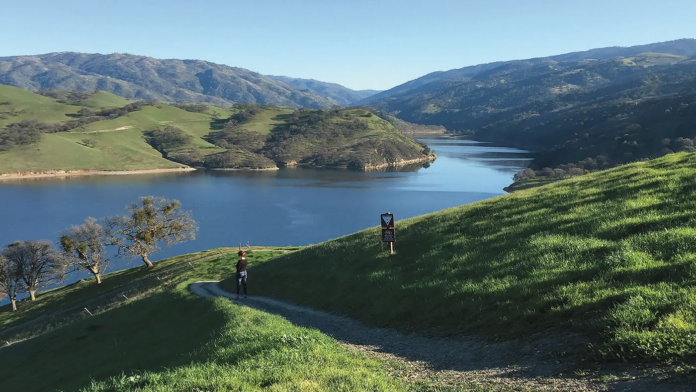
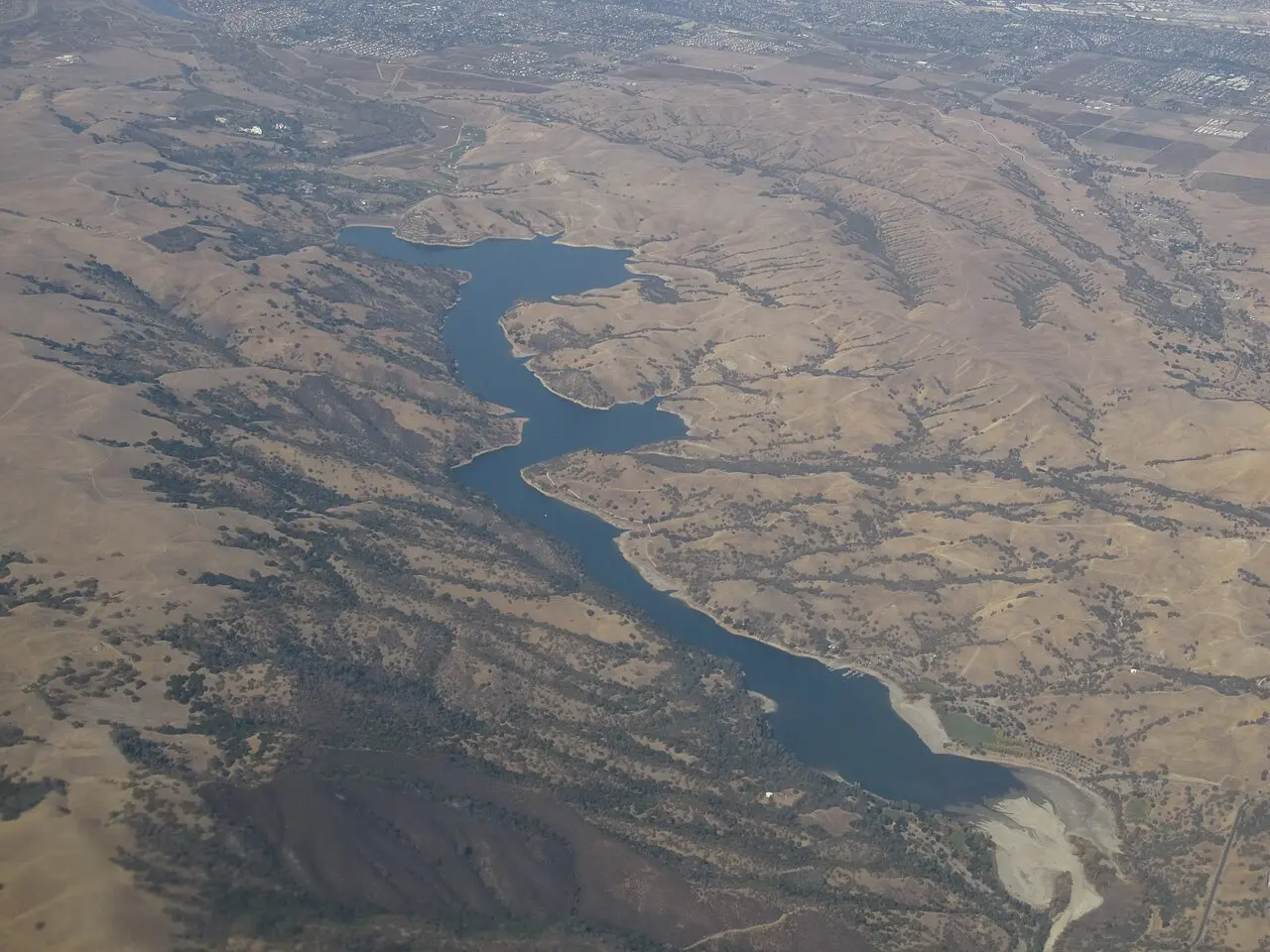
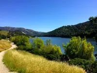
The lake lies in a valley of oak-covered hills south of Livermore. To reach it, leave town southbound on Livermore Avenue toward the wineries and turn right onto Mines Road. Where Mines Road bends off to the left, keep straight onto Del Valle Road. The entrance kiosk is about four miles on. The water belongs to the state. Lake Del Valle is a California Department of Water Resources reservoir and a State Recreation Area, operated by the park district. It is one of the few California state parks that does not accept the Annual Day Use Pass.
Two beaches on a moving shoreline
Lifeguards sit the beaches from 11 a.m. to 6 p.m. on weekends and holidays between May 16 and Sept. 27, and California State Parks also lists weekday coverage from June 1 to Aug. 14. Swimming without lifeguards is allowed year-round north of the boat ramp. The district’s posted rules are short:
- Keep the water out of your mouth.
- Shower and towel off soon after leaving the water.
- Stay out of the lake for three days after a rainstorm.
- Keep dogs away from the water.
The swim beach food concession is closed until further notice.
The shoreline moves because the lake is working storage. Del Valle Dam holds regulatory storage for the South Bay Aqueduct, flood control for Alameda Creek, and runoff that Zone 7 Water Agency distributes to the Tri-Valley. According to park district supervising naturalist Ashley Grenier, the department usually fills the lake for recreation in summer and draws it down in autumn ahead of the rains. In November 2025 the department said it would run the lake at lower elevations through the winter to reduce the risk from extreme inflow events. Gordy Slack, writing in Bay Nature in 2003, reported that in drought the lake can release up to eight inches of water a day. Its surface, he wrote, can rise and fall as much as 25 feet over a year.
Twice in recent years the water has gone the other way. The park flooded in 2017 and again in 2023, when the water reached the visitor center. Grenier traced the swings to climate change and to what she called “precipitation whiplash”: longer dry seasons and shorter, more intense wet ones.
Boats, bass, and a pair of eagles
East Beach is also the marina end of the lake. Motorboats and patio boats rent there, and a Kayak Center at the beach rents kayaks and paddleboards in season. Any size boat may launch at the public ramp. The whole lake holds to 10 miles an hour, and hydrofoils and e-foils are barred. Golden mussels have been found in Lake Del Valle, so a boat launched here is quarantined for 30 days from every other water body the district manages. The marina store sells bait, tackle, fishing licenses, ice, snacks and drinks. The lake is stocked with trout and catfish and also holds largemouth and smallmouth bass, striped bass and panfish.
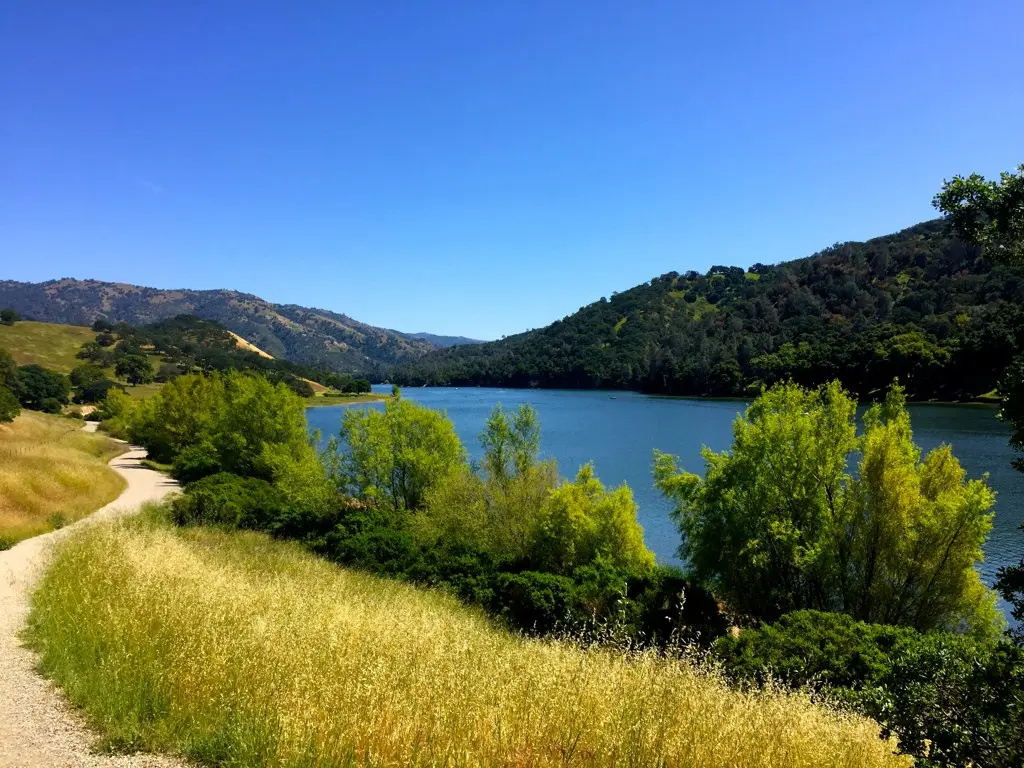
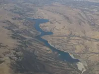
The lake runs five miles long with 16 miles of shoreline. By the district’s count, the park around it covers 4,395 acres, and the 28-mile Ohlone Wilderness Trail has its eastern end here. The visitor center on the west shore keeps exhibits on the natural history of the park and the wilderness beyond. Its interpretive staff take visitors out on scheduled boat tours of the lake’s natural and cultural history. The October 2026 calendar ran to Sunday snake talks and an evening program on scorpions and tarantulas.
Slack found Del Valle “a huge lake in the middle of typically dry inner Coast Range oak woodland.” He wrote that it “still looks surreal and as out of place as it is.” Mountain lions, he reported, were sighted every year. A few years before he wrote, a pair of bald eagles nested in the park, the first in the area within living memory. They later moved their nest outside the park boundary but kept fishing the lake. The Alameda County Flood Control and Water Conservation District reports bald eagles nesting and hunting around Lake Del Valle.
Acorns, orchards, and sheep on the Arroyo del Valle
Before the dam, the Arroyo del Valle ran through the valley unimpounded. Grenier places the Taunan Ohlone, a tribelet of the Ohlone-speaking people, near present-day Livermore and Del Valle. There the oaks gave acorns, tule reeds gave shelter, and the creek gave fresh water. Barry Schrader wrote a local history column for the East Bay Times. In 2005 he drew on history books describing Costanoan people in the valley in the 1700s. They wove willow and grass into carriers for roots and berries and found flint for fire-starting and arrowheads. The 1870 census, Schrader wrote, counted 110 Native Americans in Murray Township. The book “Corridor Country” records that the last of the original Indian residents left the valley in 1915 for an Indian settlement near Sonora. Of the Spanish missions, Grenier said: “In general, missionization is really what caused the genocide of the indigenous people.”
Settlers came under the Homestead Act in the late 1800s, among them the Crosby family, whose cottage stood near the arroyo. By the early 1900s the valley was ranch country. The Patterson family held 5,000 acres within the Del Valle watershed, and large portions of their ranches have since become public open space, this park among them. Schrader adds fruit orchards earlier in the century, with apples, almonds, prunes and pears, and sheep grazing the hillsides. Steelhead trout and coho salmon once ran these upper reaches, though downstream barriers had shut them out for decades. Through the 1940s and ‘50s, Grenier said, the arroyo was a vital waterway for the people who lived here and a place to play and relax. In winter it flooded the towns and valleys downstream.
The dam, the lovers’ lane, and April 1, 1970
The sources date the dam differently. Slack put the lake’s creation in the early 1960s, while the Department of Water Resources gives construction as 1966 to 1968. In May 1966 three officials launched the project with ceremonies: Assemblyman Carlos Bee of Hayward, Alameda County supervisors chairman John D. Murphy of Pleasanton, and State Water Resources Director William Warne. A Livermore Heritage Guild photograph in the Pleasanton Weekly records that building the reservoir meant hauling about 1.5 million pickup trucks’ worth of dirt from the area. The earthen dam was finished in 1968 at a cost of $26 million. Schrader’s figures for it:
- crest: 880 feet long
- height: 773 feet
- fill: more than 4 million cubic yards
- lake surface: 1,060 acres
- storage: 77,000 acre-feet
In 1969 the state offered the Livermore Area Recreation and Park District oversight of the lake and park. That district turned it down, and the job went to the East Bay Regional Park District. The park opened officially on April 1, 1970. Admission was $1 a car off-season and $1.50 in peak season, and a campsite cost $5.
At first Arroyo Road stayed open to the top of the dam for the view. Schrader wrote that it became a lovers’ lane for Livermore’s teenagers at night, so the road was eventually closed at the base of the dam. In the 1970s his own family fished and picnicked from a 12-foot aluminum boat. His son Darrin later worked three summers at the boat rental concession and learned to windsurf there. By 2002, Slack reported, more than 350,000 visitors a year came to Del Valle, most of them in summer.
Slack also quoted Malcolm Margolin, whose book East Bay Out covers the regional parks. When Margolin watches the Del Valle level drop, he wrote, he keeps “hoping that this magnificent valley will reappear, intact and magical like the lost city of Atlantis.”
Notable Events
- 1915According to the book Corridor Country, quoted in the column, the last of the original Indian residents moved out of the Valley in 1915 to relocate at an Indian settlement near Sonora. eastbaytimes.com
- 1966Crews started building the earthen dam in 1966; ceremonies to launch the project's opening that May featured Assemblyman Carlos Bee, county supervisors chairman John D. Murphy and State Water Resources Director William Warne. eastbaytimes.com
- 1968The earthen dam's crest is 880 feet long, its height is 773 feet, the fill is more than 4 million cubic yards, the lake surface covers 1,060 acres and the water storage capacity is 77,000 acre feet. eastbaytimes.com
- 1968Flood protection arrived in the form of a dam along Arroyo del Valle creek; additional benefits included recreation at the resulting reservoir and the creation of a drinking water reserve. pleasantonweekly.com
- 1970Within two years of the dam, EBRPD opened Del Valle Regional Park. pleasantonweekly.com
People
- Carlos Bee, Assemblyman from Hayward who took part in the May 1966 ceremonies launching the Del Valle dam project (May 1966).
- John D. Murphy, Alameda County Board of Supervisors chairman of Pleasanton who took part in the May 1966 ceremonies launching the Del Valle dam project (May 1966).
- William Warne, State Water Resources Director who took part in the May 1966 ceremonies launching the Del Valle dam project (May 1966).
- Crosby family, settlers who settled near the Arroyo del Valle.
- Patterson family, ranchers who owned 5,000 acres within the Del Valle watershed; large portions of their ranches have since been converted to public open space including Del Valle Regional Park (early 1900s).
- Taunan Ohlone, tribelet within the larger Ohlone-speaking group that lived near present-day Livermore and Del Valle, with oak acorns, tule reeds and a creek for fresh water.