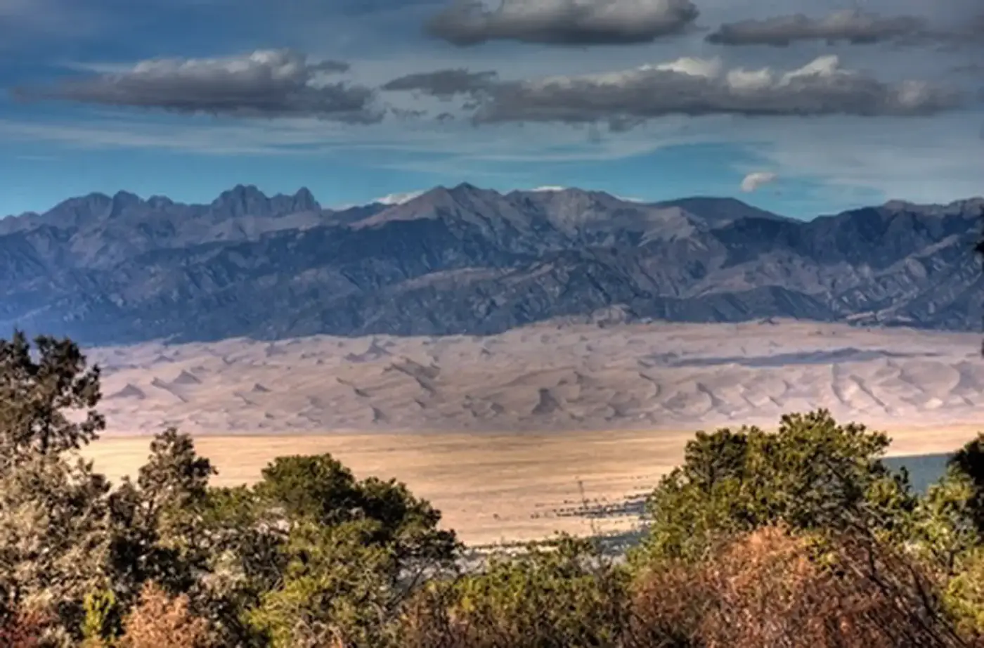
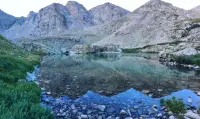
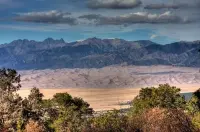
Zapata Falls Trailhead
Alamosa, Alamosa County, Colorado. SRMA; All facilities open year-round.
Details

- Where
- Alamosa, Alamosa County, CO. No street address stated. Directions
- Getting there
- From Alamosa, depart on US Highway 160/Main Street eastwards. Go east on Highway 160 until you reach Colorado State Highway 150. Turn left and go north on Colorado State Highway approximately 12.5 miles. Turn right onto the unpaved gravel road (Lake of The Falls Road).
- Fees
- Free hike and parking lot.
- Access
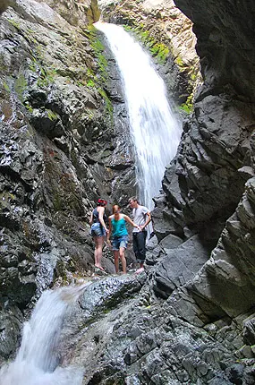
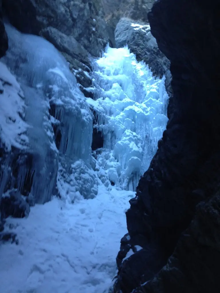
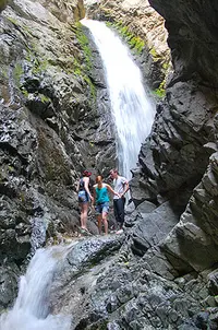
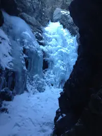
- Access to this waterfall entails a mildly steep 0.5 mi (0.80 km) hike. Viewing the falls requires fording the stream and climbing rocks.
- Walk-in or reserve
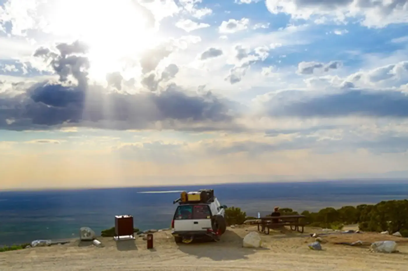
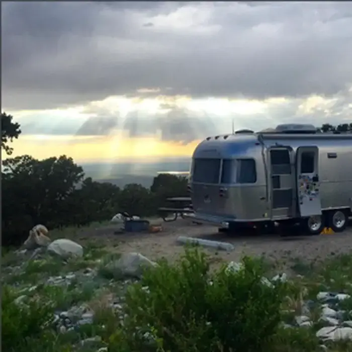
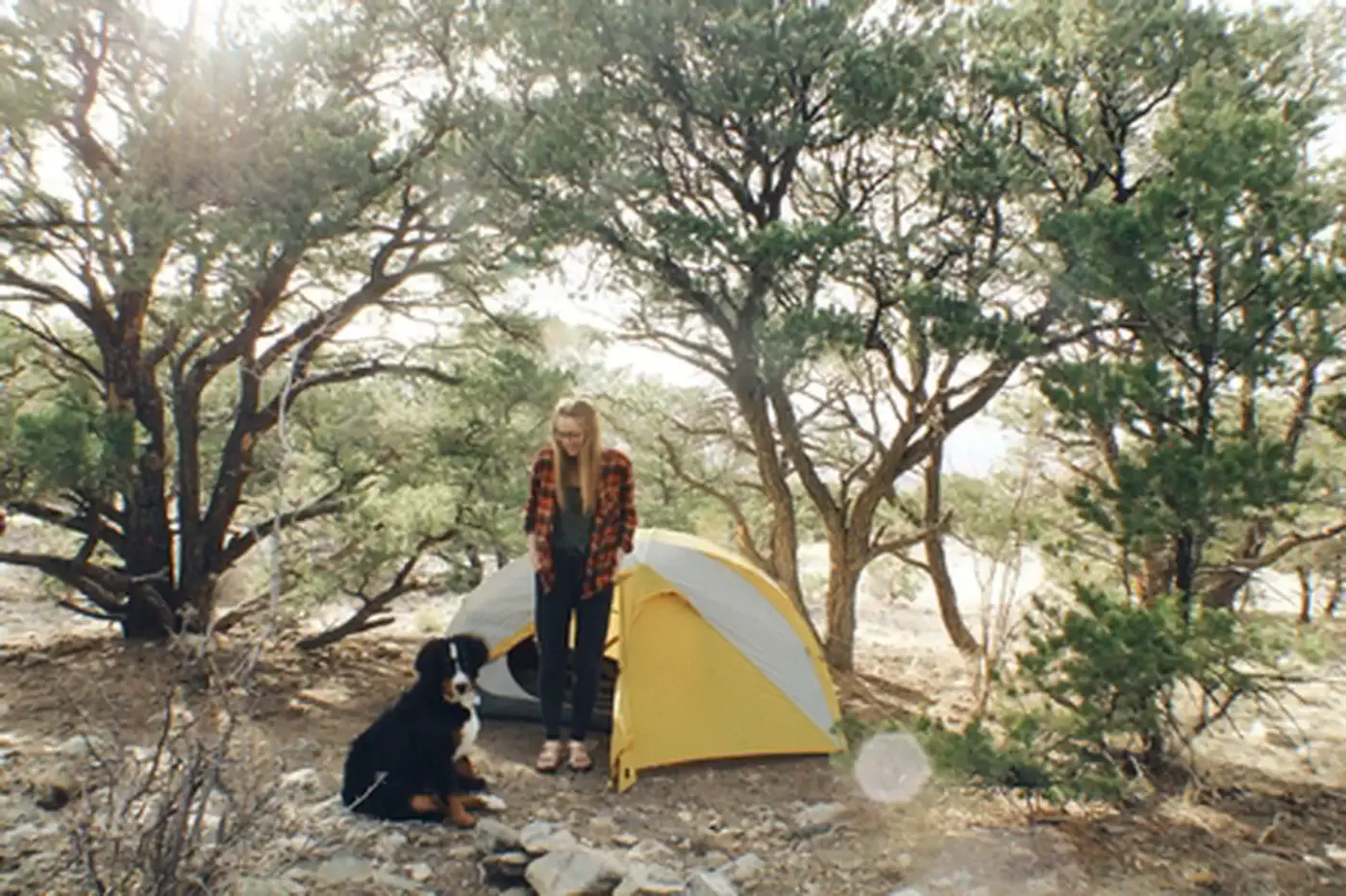
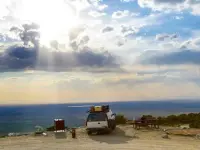
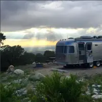
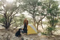
- Camping in designated sites is by reservation only.
- Phone
- (719) 852-7074
- Website
- blm.gov
- Managed by
- San Luis Valley Field Office.
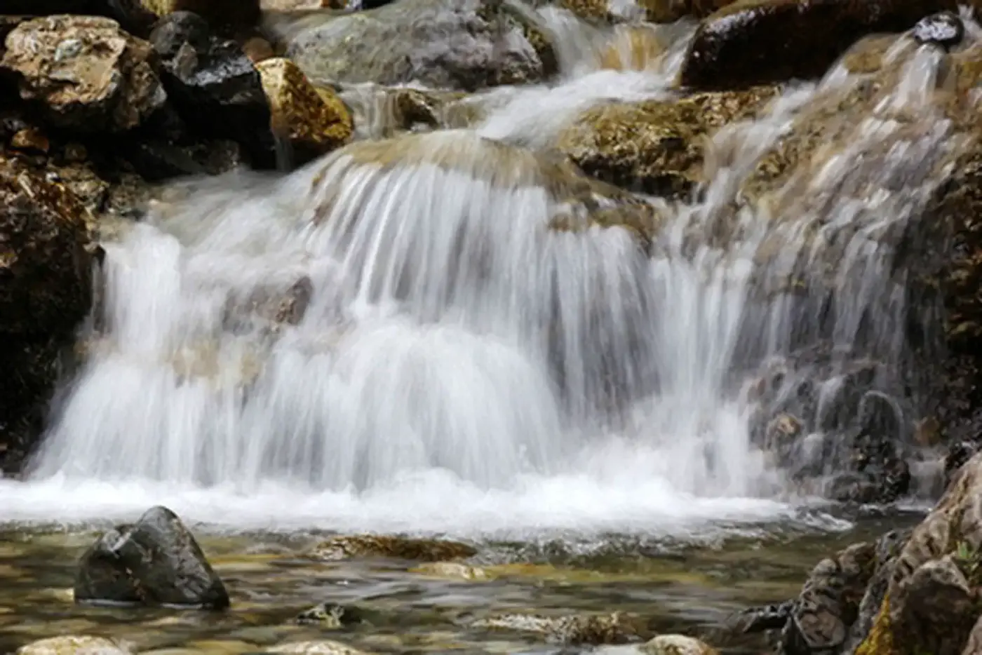
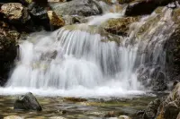
A short but adventurous hike over slippery rocks leads to a magnificent 25-foot waterfall at Zapata Falls Recreation Area.
Notable Events
- 1864Families from Mexico established the town of Zapata at the western base of the Sangre de Cristo mountains. blm.gov
- 1870sSeveral landholdings were consolidated into one of the San Luis Valley's first and largest cattle ranches, which is still active today. blm.gov
- 1889Settlers who purchased part of the Zapata Ranch envisioned a reservoir in the mountains above Zapata Falls, with a flume to bring water down to irrigate farms on the valley floor. ranchlands.com
Sources
- blm.gov/visit/zapata-falls-srma
- blm.gov/sites/default/files/docs/2023-10/2023%20-%20Zapata%20Falls%20Special%20Recreation%20Management%20Area%20brochure.pdf
- alamosa.org/listing/zapata-falls-trail
- nps.gov/grsa/planyourvisit/nearbyattractions.htm
- recreation.gov/camping/campgrounds/261715
- sangreheritage.org/zapata-falls
- ranchlands.com/blogs/journal/the-history-of-zapata-ranch