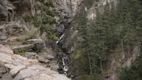
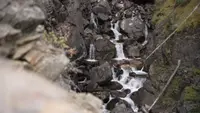
Woodbine Falls Trailhead
Nye area, Stillwater County, Montana. Trailhead.
Details

- Where
- Nye area, Stillwater County, MT. No street address stated. Directions
- When
- Open 24 hours/day.
- Season
- Fees charged May-September, weather dependent.
- Getting there
- 30 miles west of Red Lodge on MT 78, 29 miles west of Fishtail on MT 419.
- Fees
- Campground Day Use (over an hour): $6.
- Access
- Fully paved campground with paved spurs at the end of the Stillwater River Road #2400.
- Phone
- 406-587-6710
- Managed by
- Custer Gallatin National Forest, Beartooth Ranger District.
- Coordinates
- 45.35332, -109.89788.
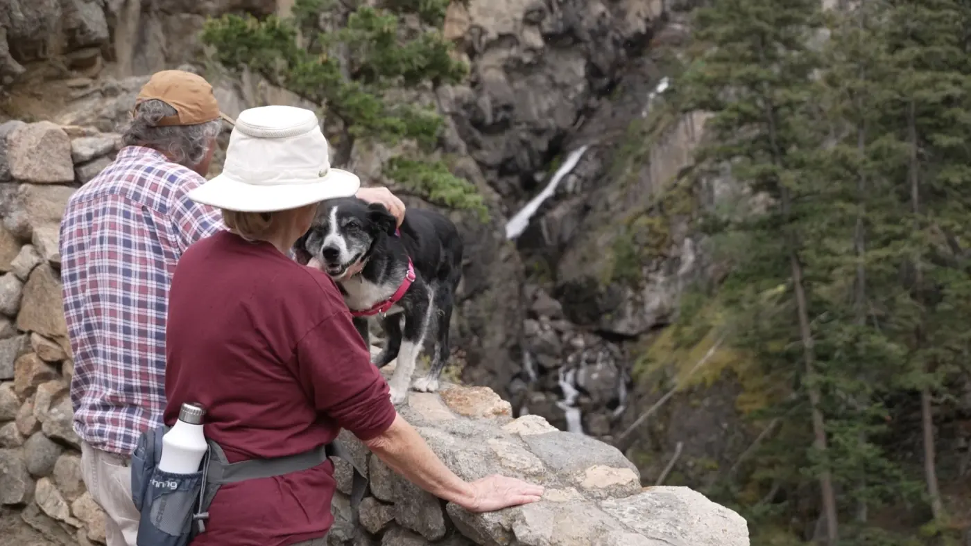
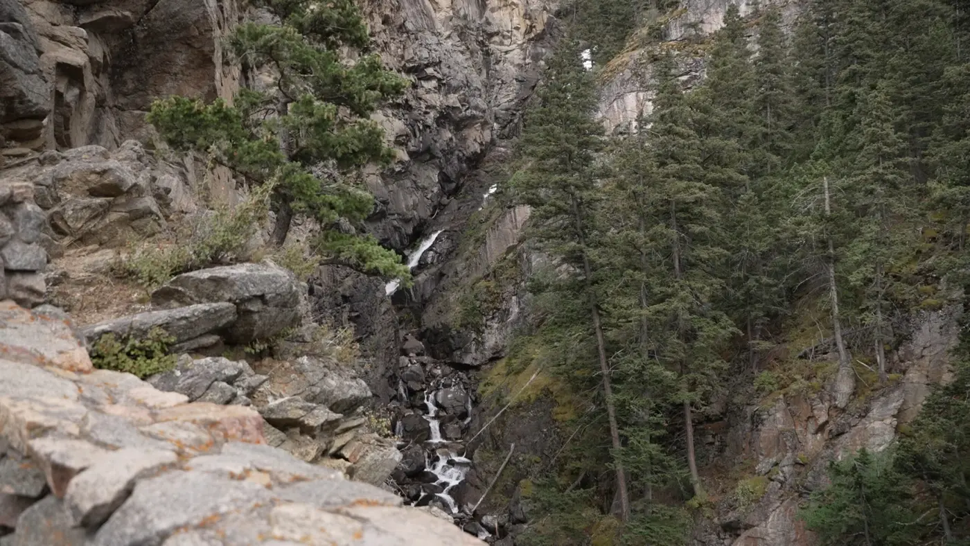
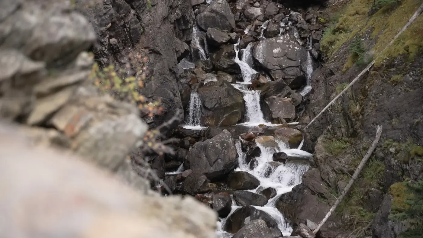
USFS trailhead at Woodbine Campground for the 0.8-mile Woodbine Falls Trail in the Beartooth foothills.
Notable Events
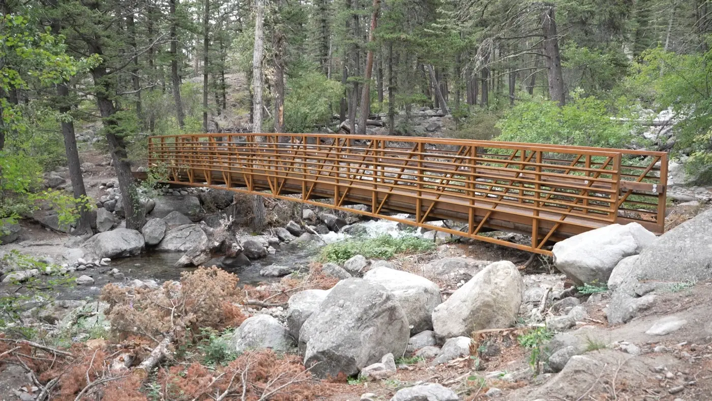
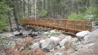
- 1983The original bridge on the trail, constructed in 1983, was removed after debris from the historic flood left it structurally unsound. stillwatercountynews.com
- 2022Historic flooding in 2022 left the trail impassible for nearly three years due to fallen trees and debris, and washed away a critical access bridge that led over Woodbine Creek to the falls. ktvq.com
Sources
- fs.usda.gov/r01/custergallatin/recreation/woodbine-campground
- fs.usda.gov/r01/custergallatin/recreation/trails/woodbine-falls-trail-93
- stillwatercountynews.com/townnews/meteorology/new-bridge-re-opens-access-to-woodbine-falls/article_7f0d949d-5ae3-40ea-a3c2-073ca507ad88.html
- ktvq.com/community/out-and-about/out-and-about-hikers-return-to-woodbine-falls-trail-after-years-of-closure